Image: Syced
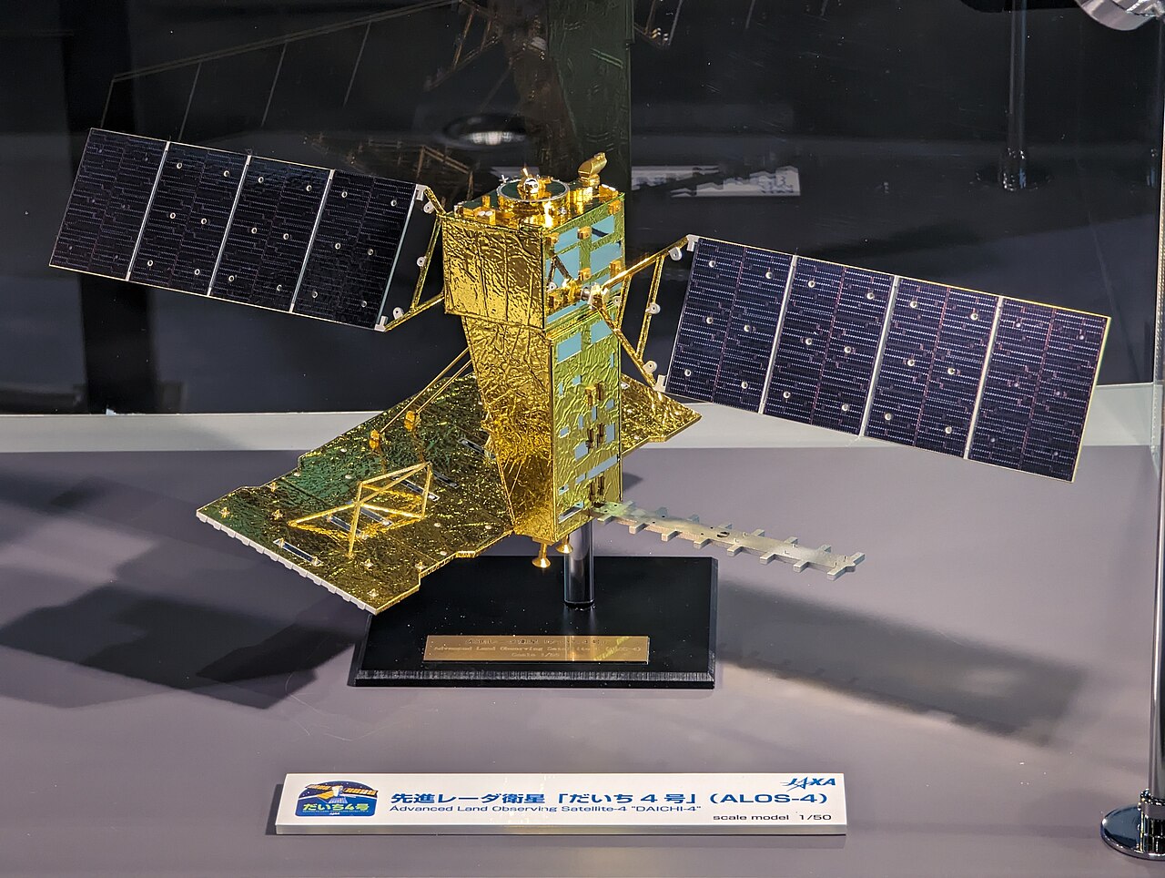
ALOS-4 "DAICHI-4" (JAXA)
JAXA's DAICHI-4 radar sees through clouds over a 200 km swath, continuing the radar record used for deforestation alerts.
Every card is a real team doing hands-on work you can check: cleanups, restoration, satellites and missions, each with sources. Pick a hub below to start.
See Solutions on the World Map
✨ New solutions, added November 16, 2026: ★ Rewilding Argentina: Iberá Jaguars · ★ NSIDC: Watching Earth’s Sea Ice · ★ Minor Planet Center: Tracking Near-Earth Objects · Snow Leopard Trust · Save the Elephants · Rare: Fish Forever · Phoenix Islands Protected Area · Lake Washington Cleanup · Cuyahoga River Cleanup · SMOS (ESA)
Image: Syced
JAXA's DAICHI-4 radar sees through clouds over a 200 km swath, continuing the radar record used for deforestation alerts.
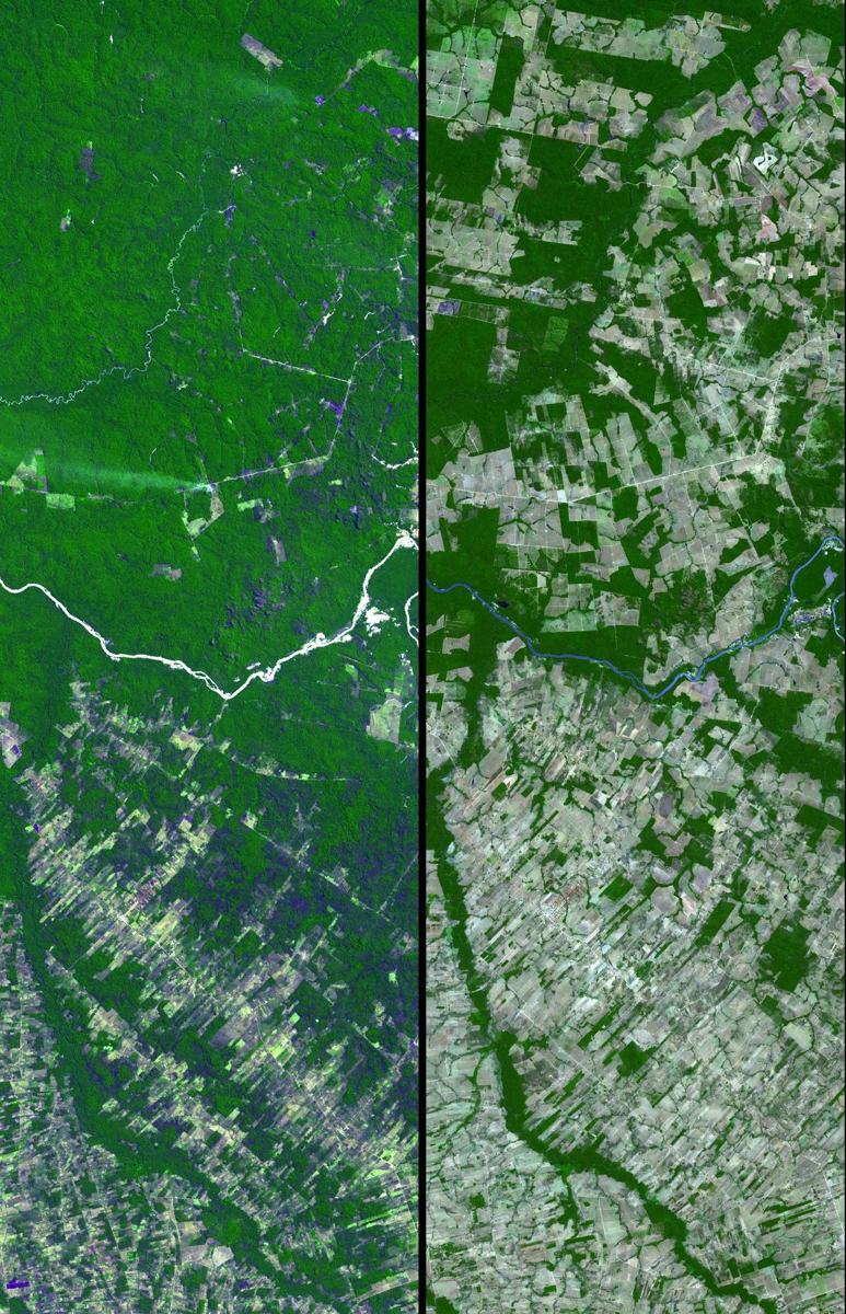
Image: NASA (ISS074-E-0492148)
ESA's Biomass satellite, launched April 29, 2025, carries the first P-band radar in space, seeing through forest canopies to measure the carbon stored in trees.
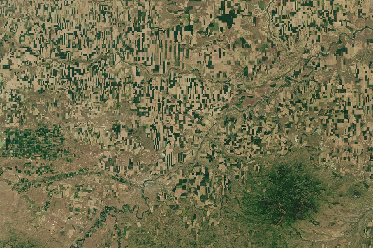
Image: NASA Earth Observatory/Lauren Dauphin, Landsat data from USGS (public domain)
CHIME will image Earth in more than 200 colours of light to support sustainable farming, food security and biodiversity (ESA).
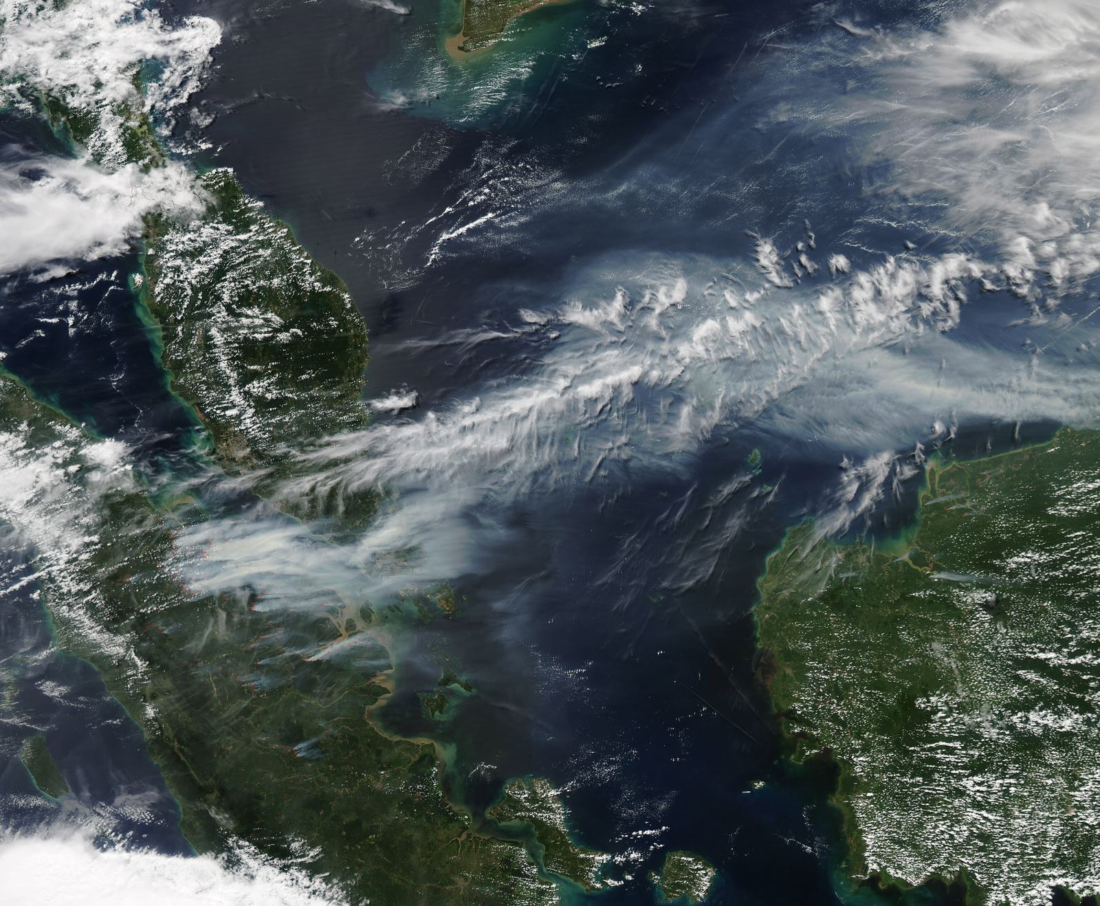
Image: NASA Earth Observatory
Europe's air monitoring service forecasts air pollution, smoke and dust worldwide twice a day for more than 23,500 users, free and open.
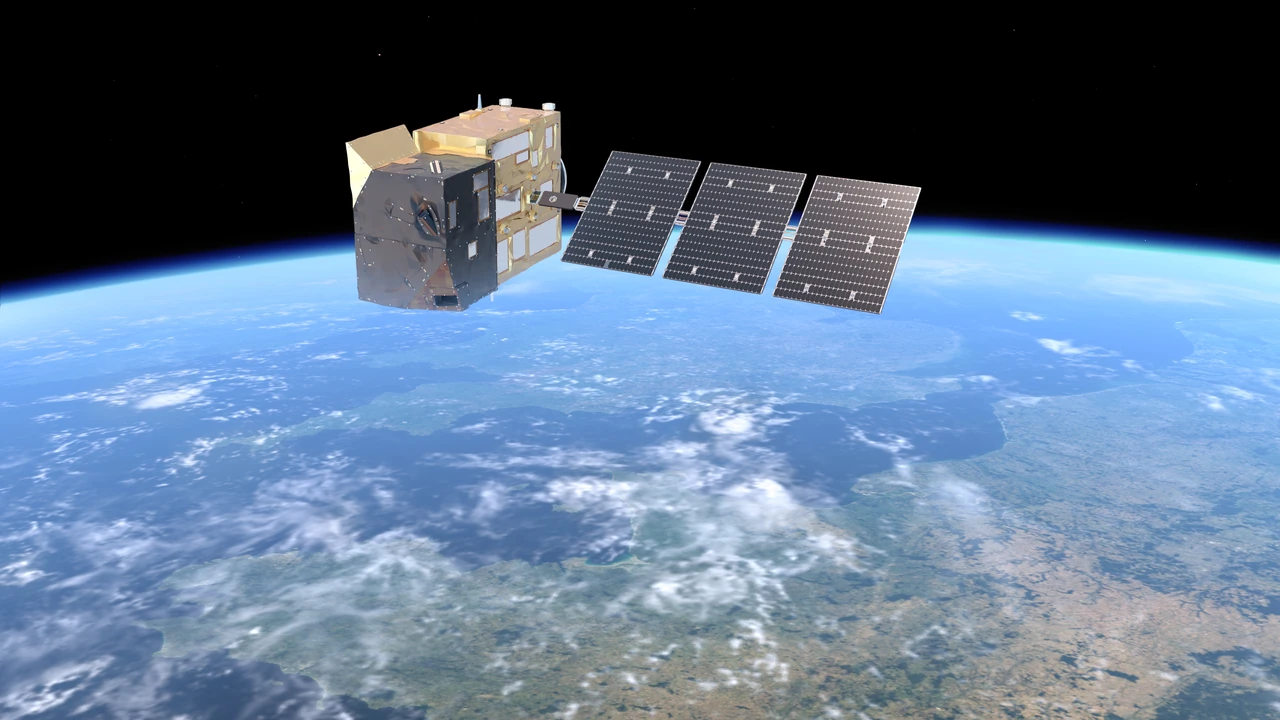
Image: ESA/Mlabspace (CC BY-SA 3.0 IGO)
A planned trio of satellites that will measure the carbon dioxide and methane people release, so countries can check whether their emission cuts are working.
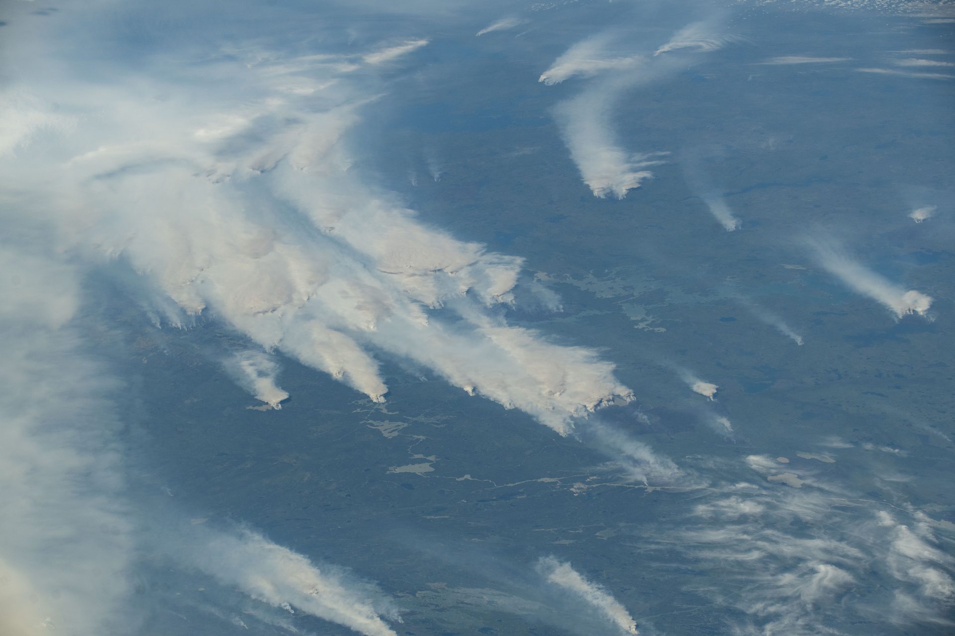
Image: NASA (ISS073-E-0420617)
The European Union's emergency mapping service turns satellite images into maps for disaster teams, 24/7 since 2012, with more than 1,000 activations.
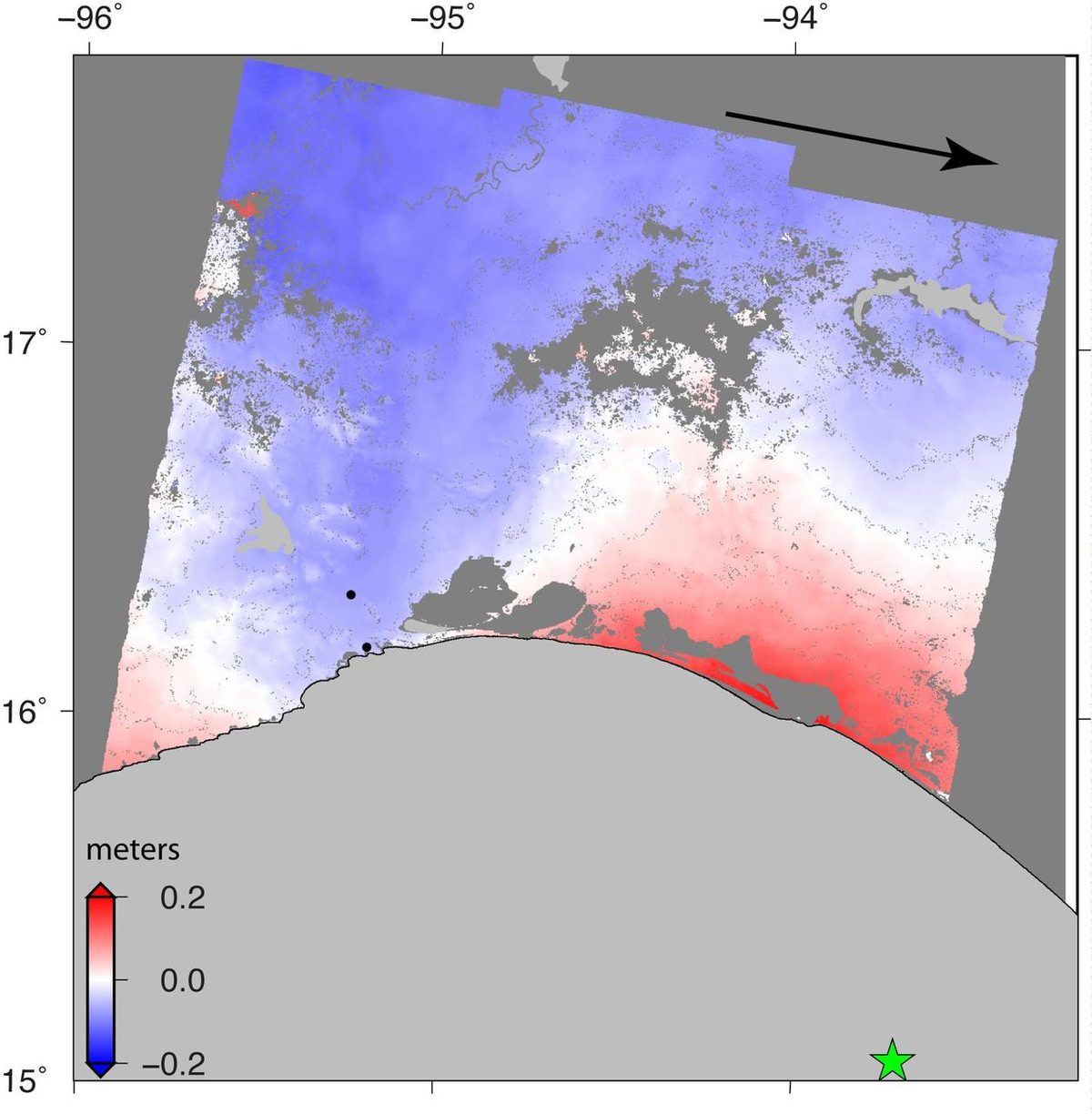
Image: NASA-JPL/Caltech/ESA/Copernicus (PIA21962)
Sentinel-1 radar sees through clouds, day and night, to map floods, earthquakes and ice; Sentinel-1C and 1D joined in 2024 and 2025.
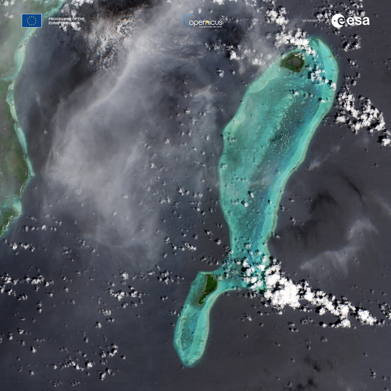
Image: contains modified Copernicus Sentinel data (2024), processed by ESA (CC BY-SA 3.0 IGO)
Sentinel-2C joined the Copernicus fleet in September 2024, imaging land and coasts in 13 bands so forests and crops are checked every five days.
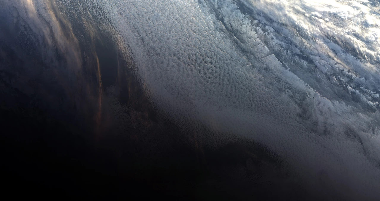
Image: contains modified Copernicus Sentinel data (2018), processed by EUMETSAT (CC BY-SA 3.0 IGO)
The Copernicus Sentinel-3 satellites measure Earth's oceans, land, ice and atmosphere, and a third satellite, Sentinel-3C, launched on September 15, 2026 (ESA).
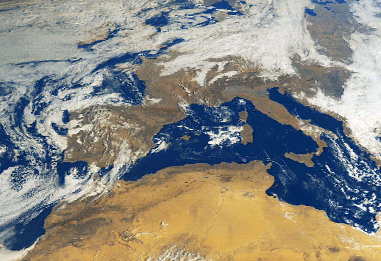
Image: contains modified Copernicus Sentinel data (2025), processed by ESA (CC BY-SA 3.0 IGO)
From geostationary orbit on MTG-S1, Sentinel-4 measures air pollution such as nitrogen dioxide and ozone over Europe and North Africa every hour (ESA).
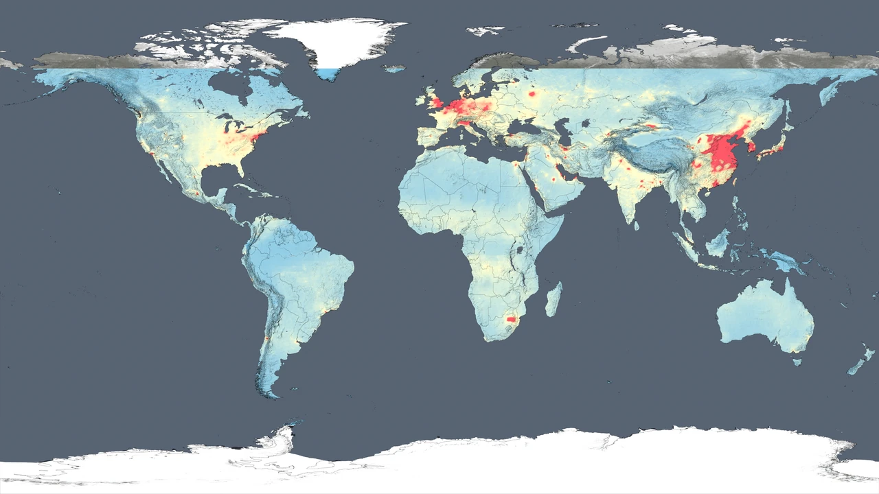
Image: NASA's Goddard Space Flight Center (public domain)
Copernicus Sentinel-5P maps the gases in the air we breathe, covering the whole planet every day with its Tropomi instrument (ESA).
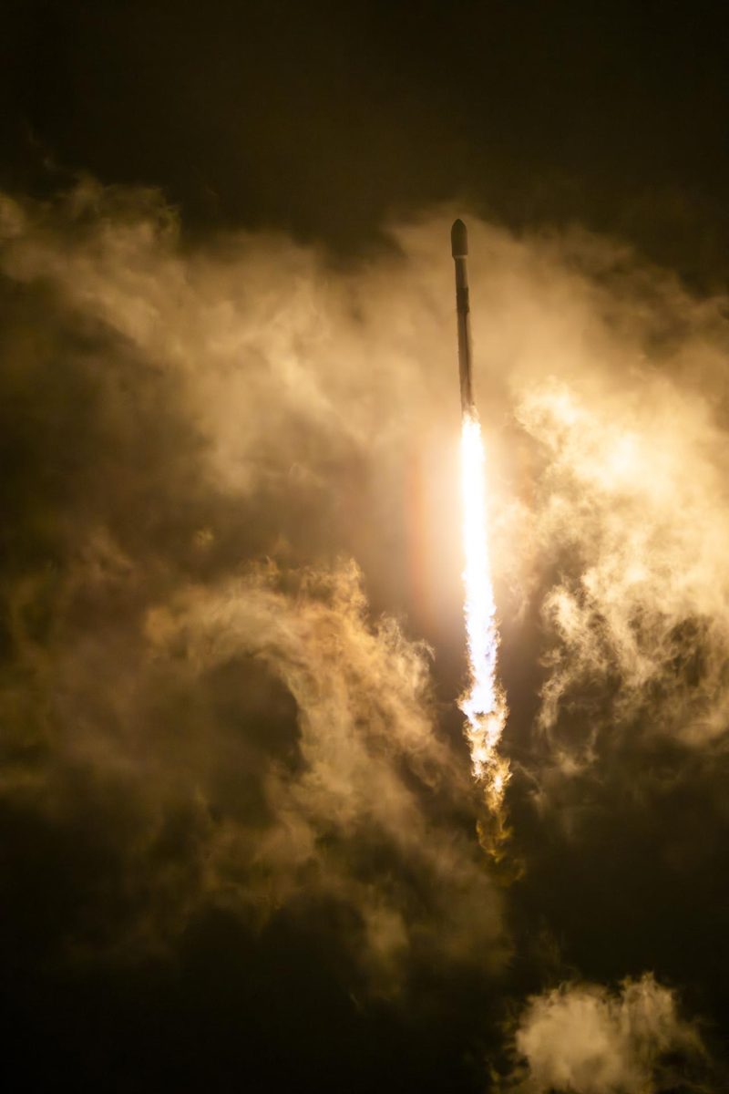
Image: NASA/Carla Thomas (AFRC2025-0170-03)
Sentinel-6B, launched November 17, 2025, continues the precise record of global sea level that began in the early 1990s.
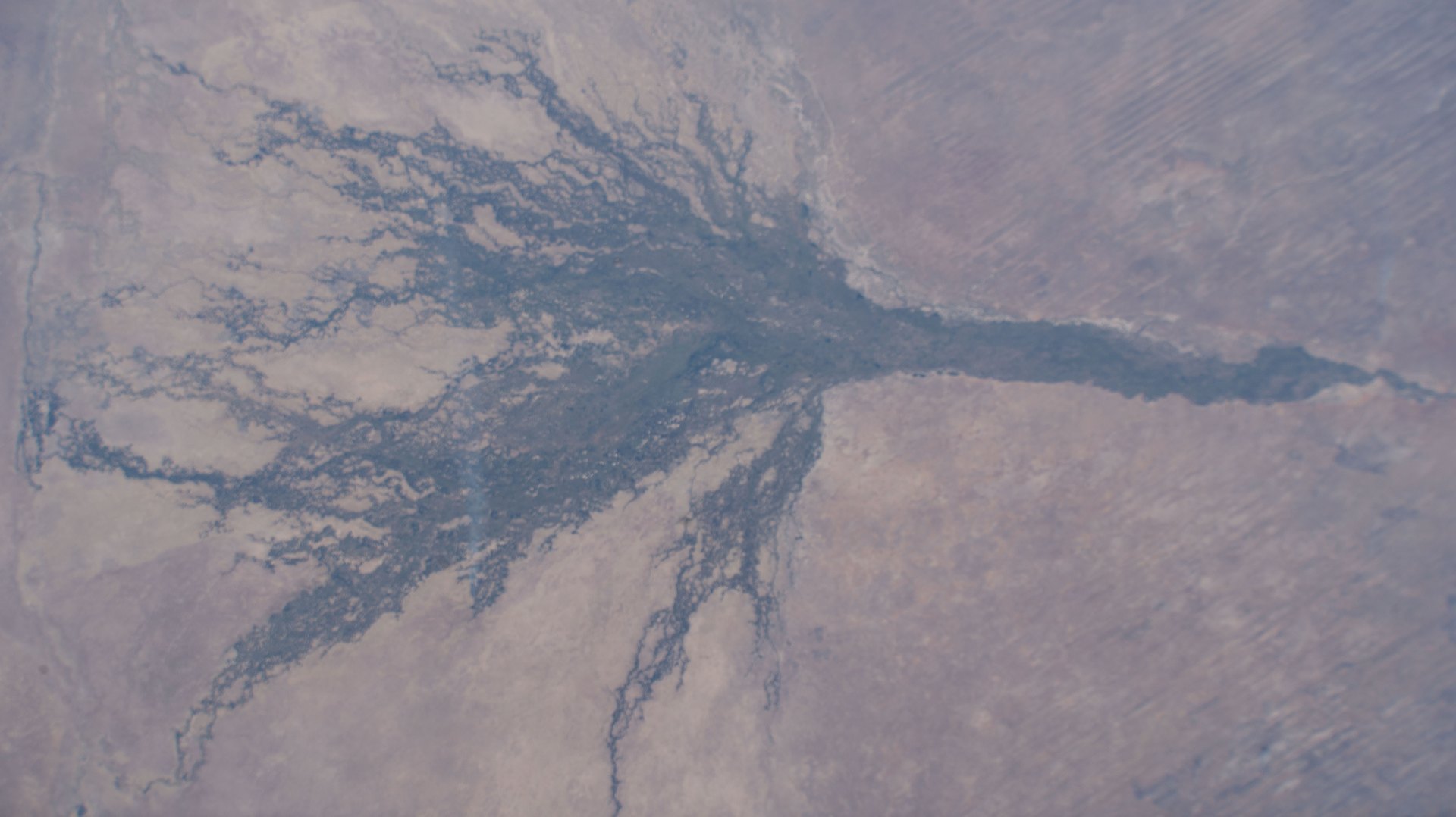
Image: NASA (iss073e0604445)
Digital Earth Africa turns satellite data into free and open maps of water, farmland and coasts for the whole African continent (Digital Earth Africa).
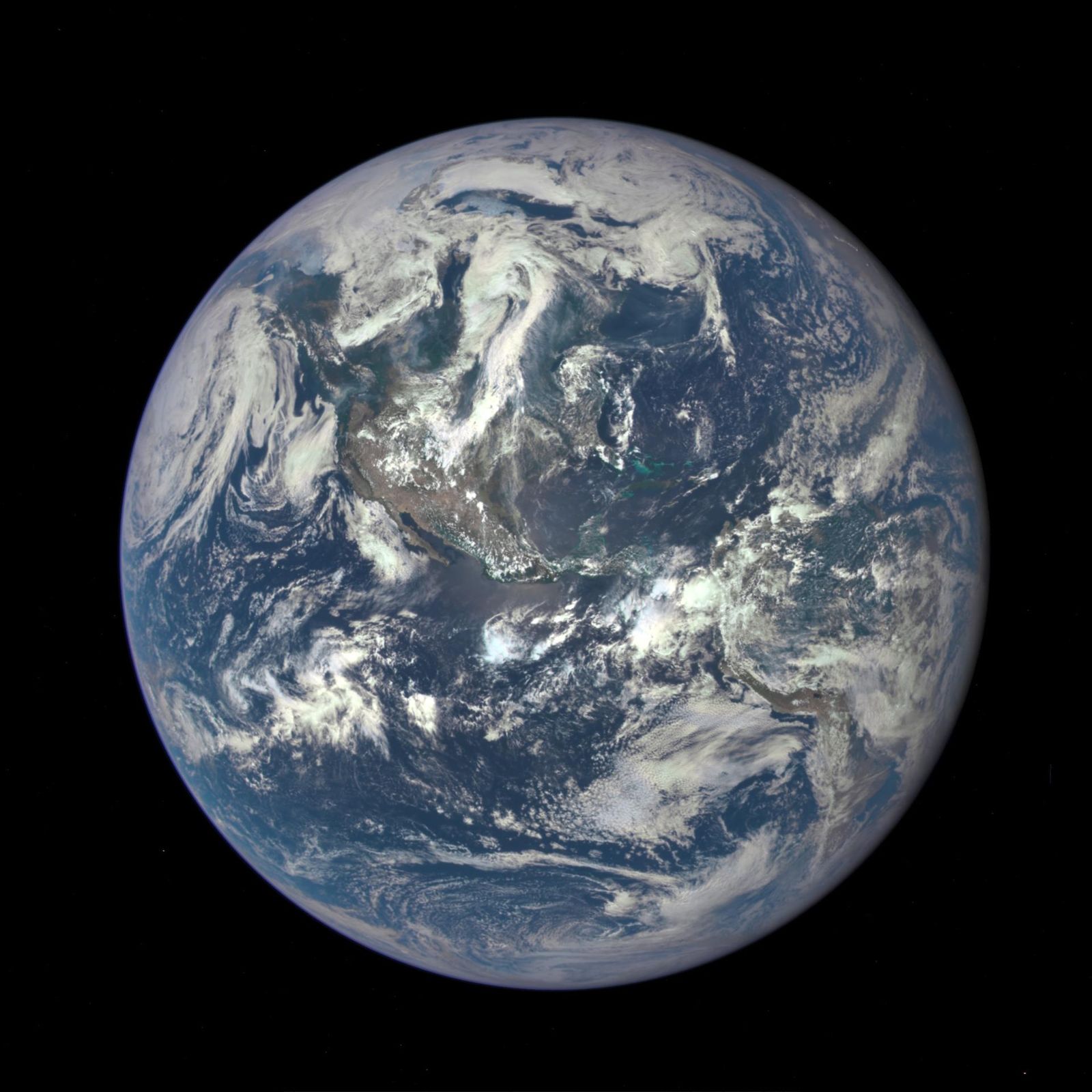
Image: NASA/NOAA DSCOVR EPIC
A camera photographing the entire sunlit face of Earth several times a day.
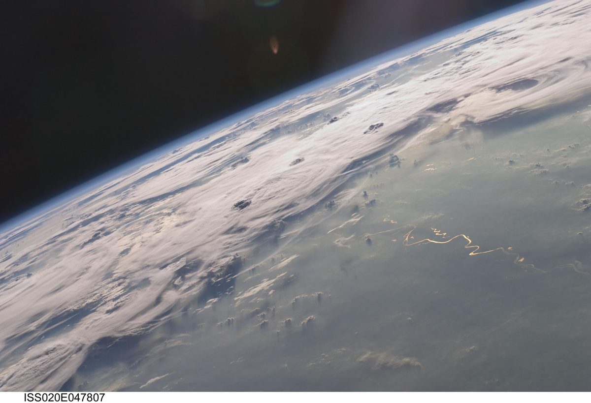
Image: NASA/Jeff Williams (ISS020-E-047807)
ESA–JAXA EarthCARE carries the first space cloud radar that can measure how cloud particles move up and down, sharpening forecasts of how clouds affect climate.
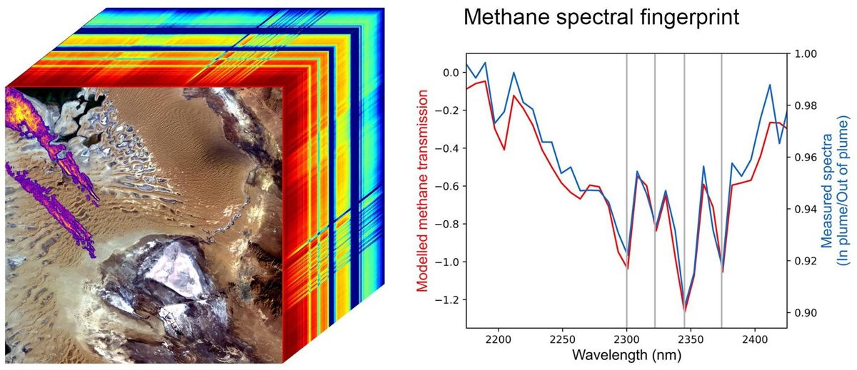
Image: NASA/JPL-Caltech (PIA25593)
NASA's EMIT instrument on the International Space Station maps the minerals in desert dust and has spotted methane super-emitters from space (NASA JPL).
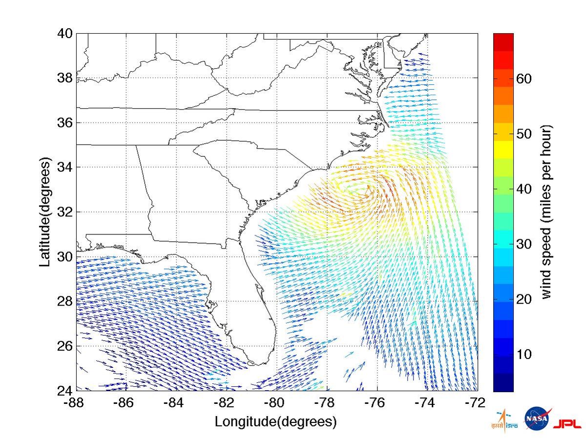
Image: ISRO/NASA/JPL-Caltech (PIA14742)
India's EOS-06, the third Oceansat, tracks ocean color, sea-surface temperature and winds; it imaged Cyclone Mandous and an algal bloom on day one.
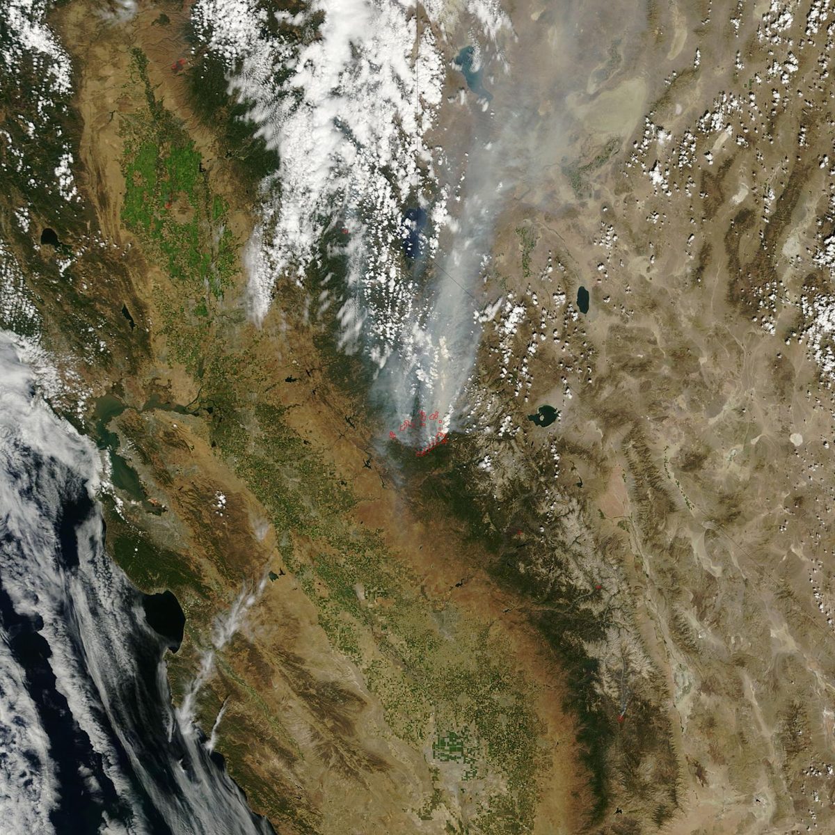
Image: NASA
Earth Fire Alliance's FireSat satellites are built to spot wildfires as small as 5 by 5 meters from space and get the data to firefighters fast.
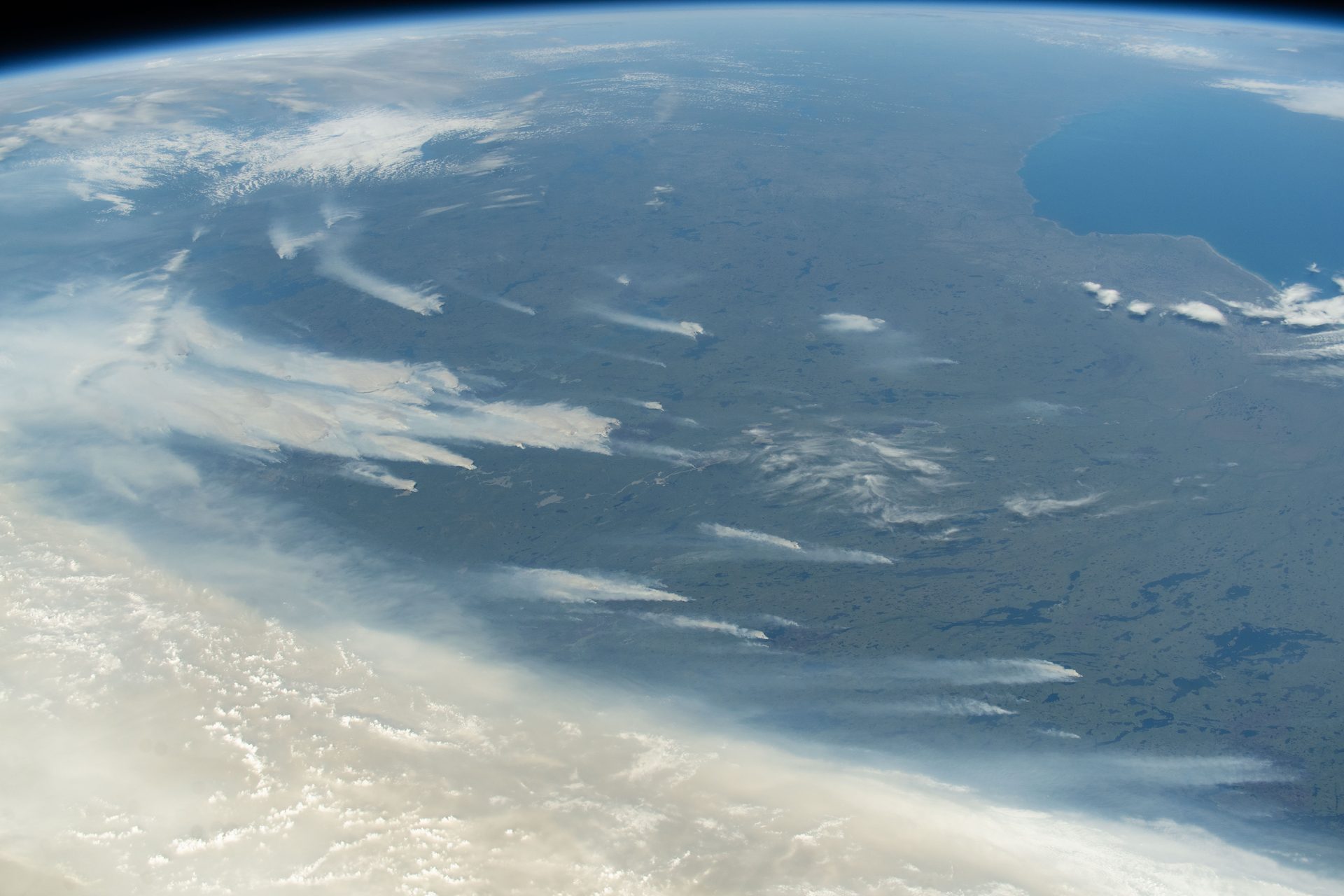
Image: NASA (ISS073-E-0420604)
NASA's FIRMS delivers satellite fire detections within 3 hours anywhere on Earth, and in real time for the US and Canada.
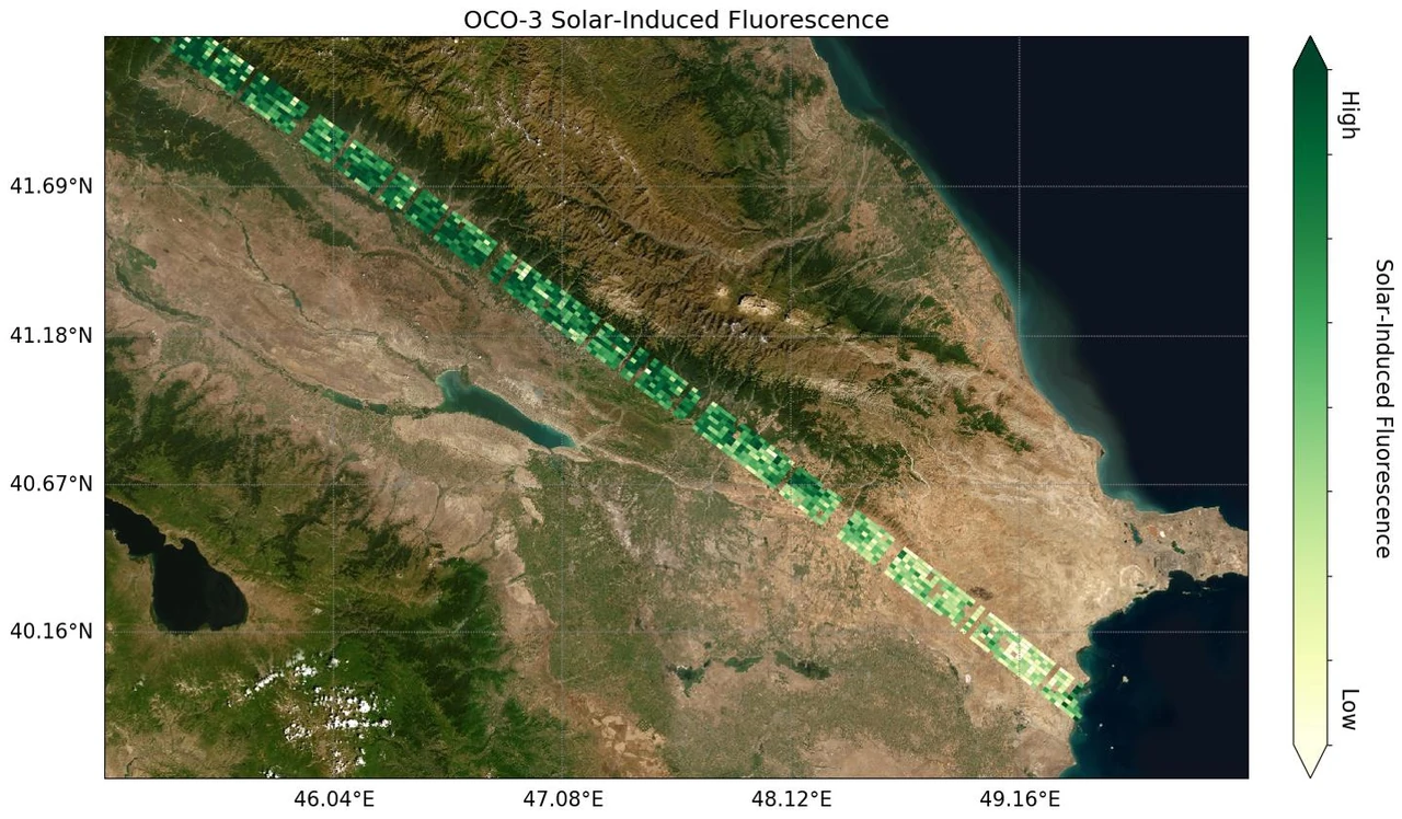
Image: NASA/JPL-Caltech (public domain)
Launched together on September 15, 2026, ESA's FLEX maps the faint glow of photosynthesis while Sentinel-3C watches oceans and land.
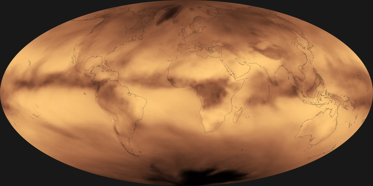
Image: NOAA NESDIS (public domain)
ESA's FORUM will measure Earth's outgoing far-infrared radiation, never measured from space before, filling a missing piece of the climate jigsaw (ESA).
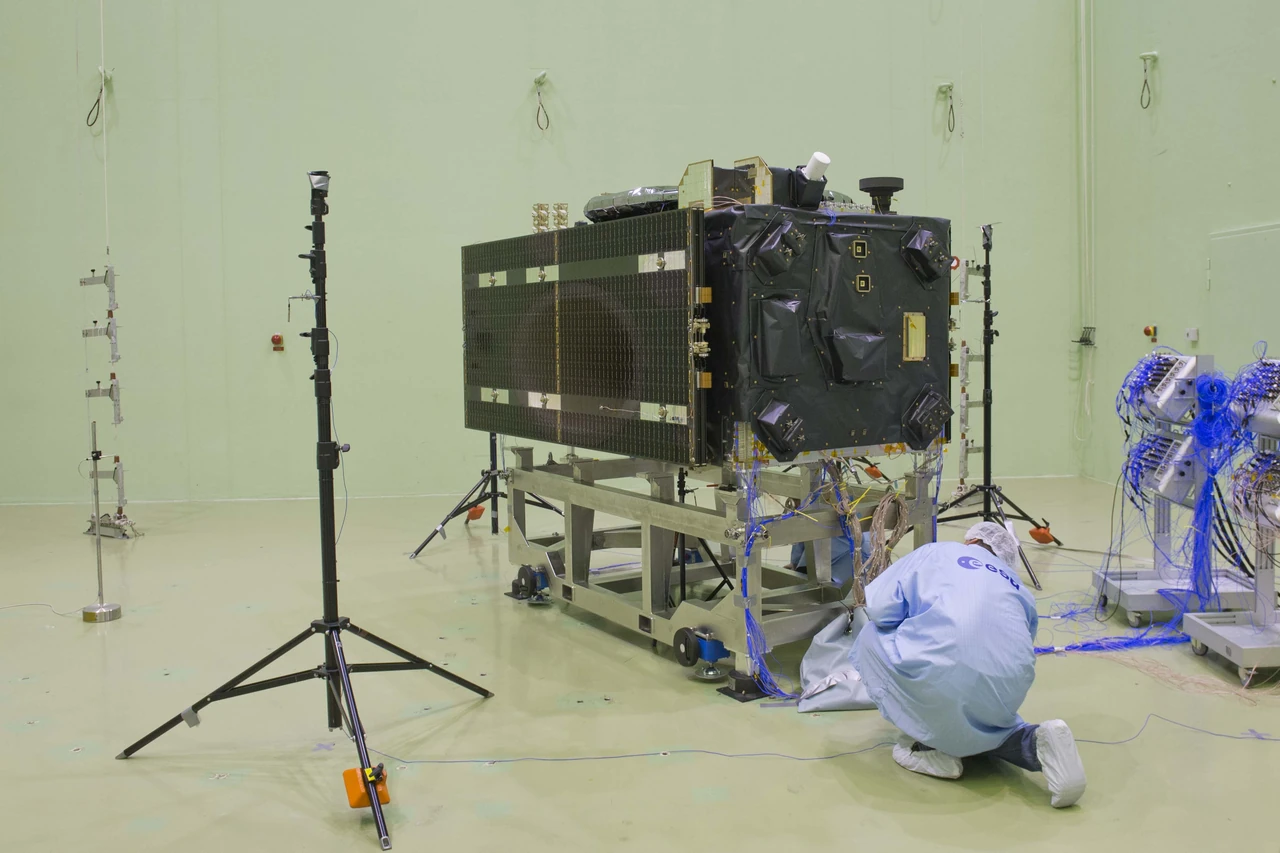
Image: ESA-Anneke Le Floc'h (CC BY-SA 3.0 IGO)
Europe's Galileo is the world's most precise satellite navigation system, serving over five billion smartphone users and helping rescues (ESA).
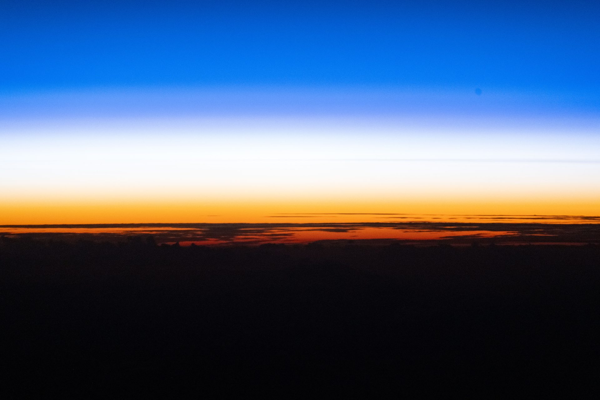
Image: NASA (ISS074-E-0046371)
Japan's SHIKISAI satellite checks the health of Earth from space every 2 or 3 days, tracking clouds, aerosols, ocean color, plants, snow and ice (JAXA).
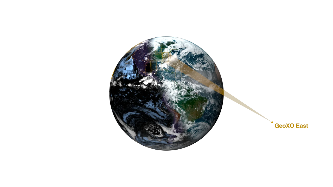
Image: NASA's Scientific Visualization Studio (public domain)
NOAA's next generation of geostationary weather satellites, planned from 2032, will improve warnings of severe weather and hazards (NOAA).
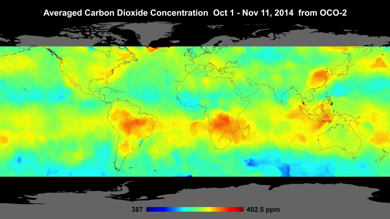
Image: NASA/JPL-Caltech (public domain)
JAXA's IBUKI GW tracks carbon dioxide, methane and nitrogen dioxide while also measuring the water cycle.
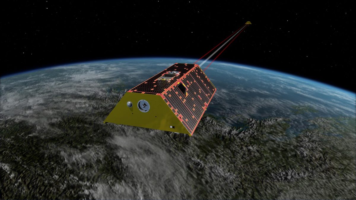
Image: NASA/JPL-Caltech (PIA22431)
Twin US-German satellites weigh Earth's water by measuring gravity, tracking groundwater, ice and sea level since 2018. Active.
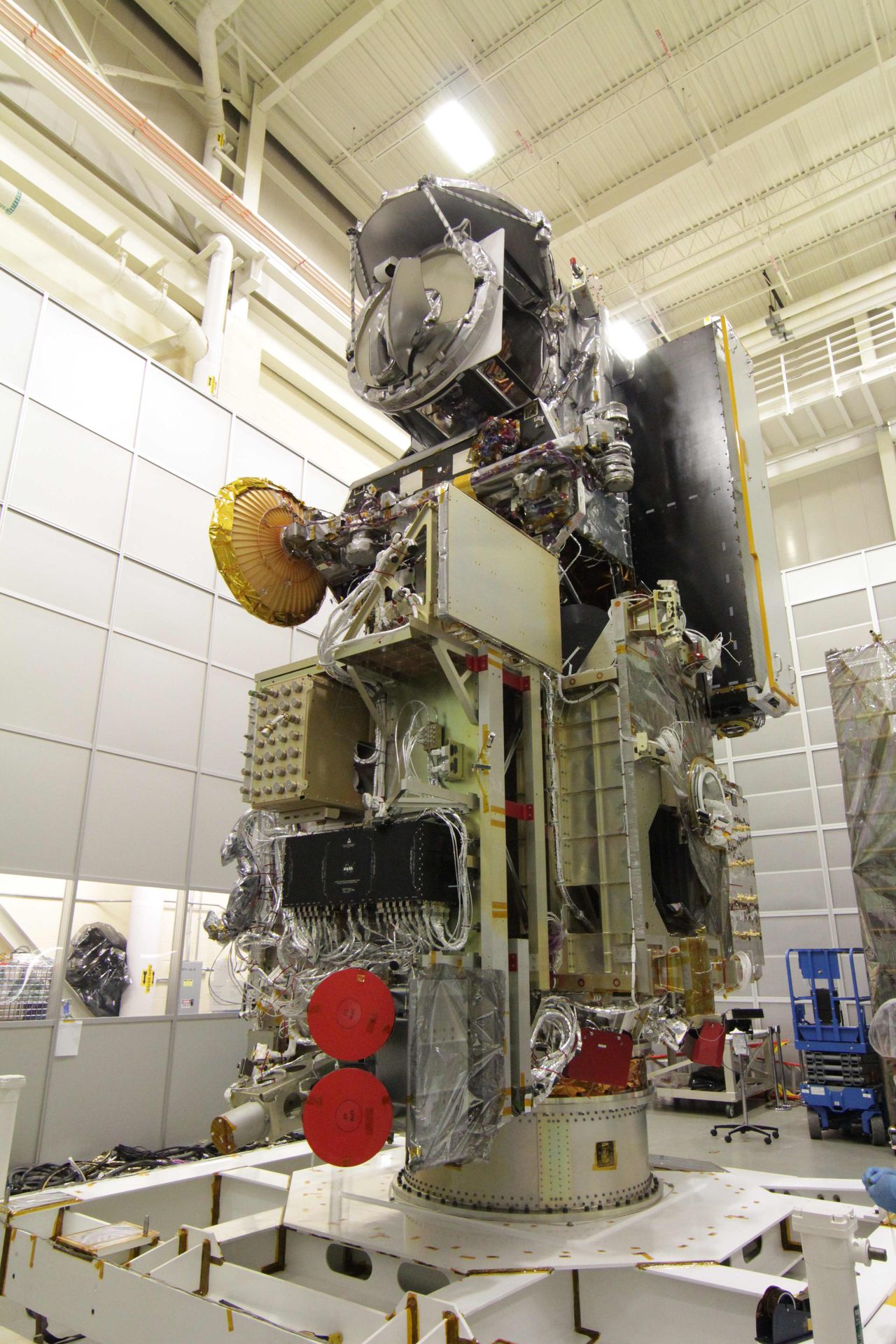
Image: NASA/Goddard
JAXA's Global Satellite Mapping of Precipitation maps rain around the world every hour, used by 18,673 registered users in 163 countries and regions.
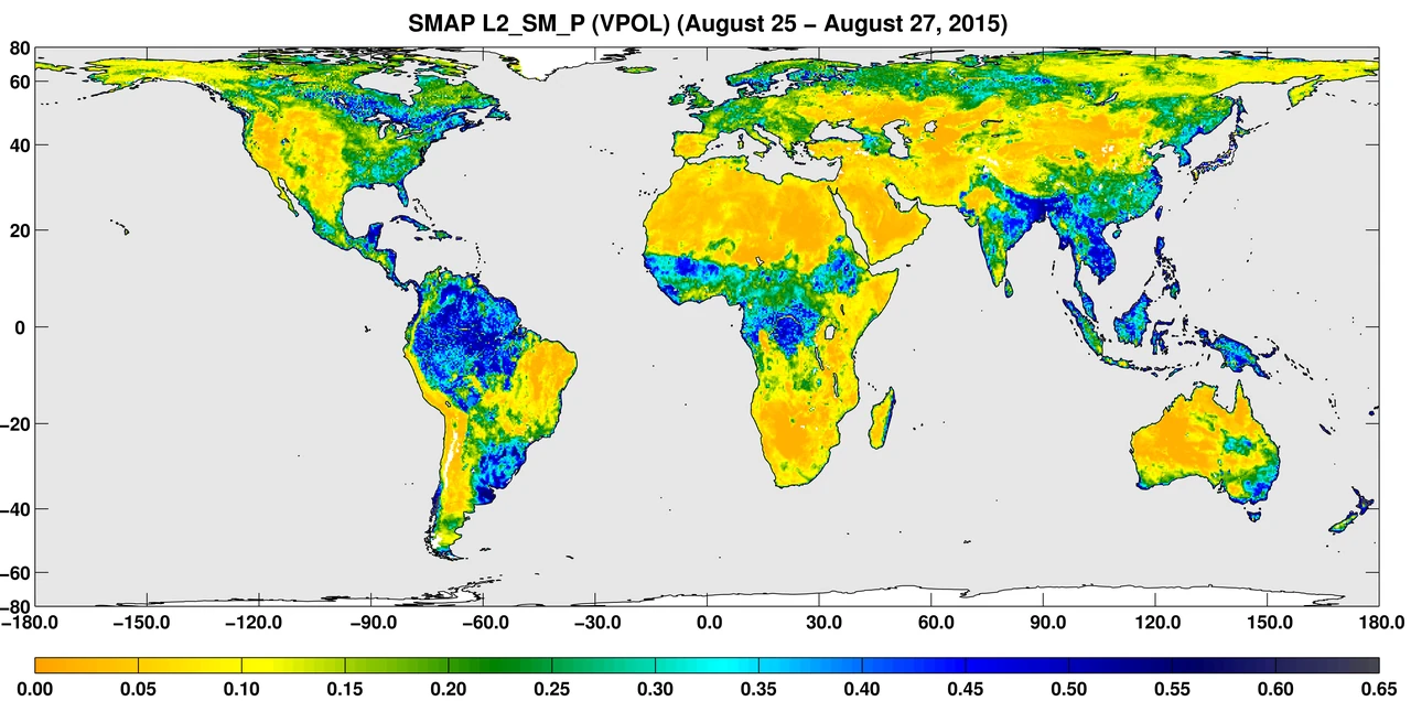
Image: NASA/JPL-Caltech/GSFC (PIA19877) (public domain)
ESA's first Scout mission uses reflected navigation-satellite signals to measure soil moisture, wetlands and frozen ground (ESA).
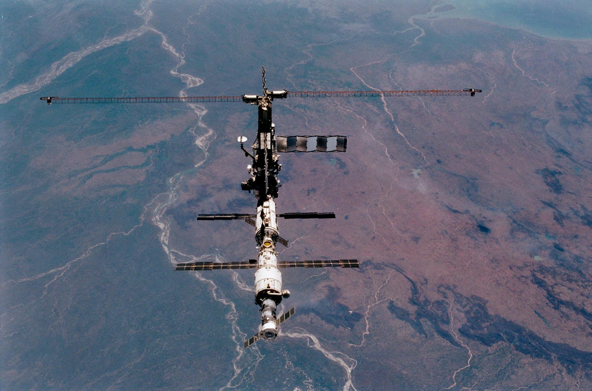
Image: NASA (STS102-357-031)
India's INSAT-3DS watches weather, land and oceans from geostationary orbit and carries a search-and-rescue transponder (ISRO).
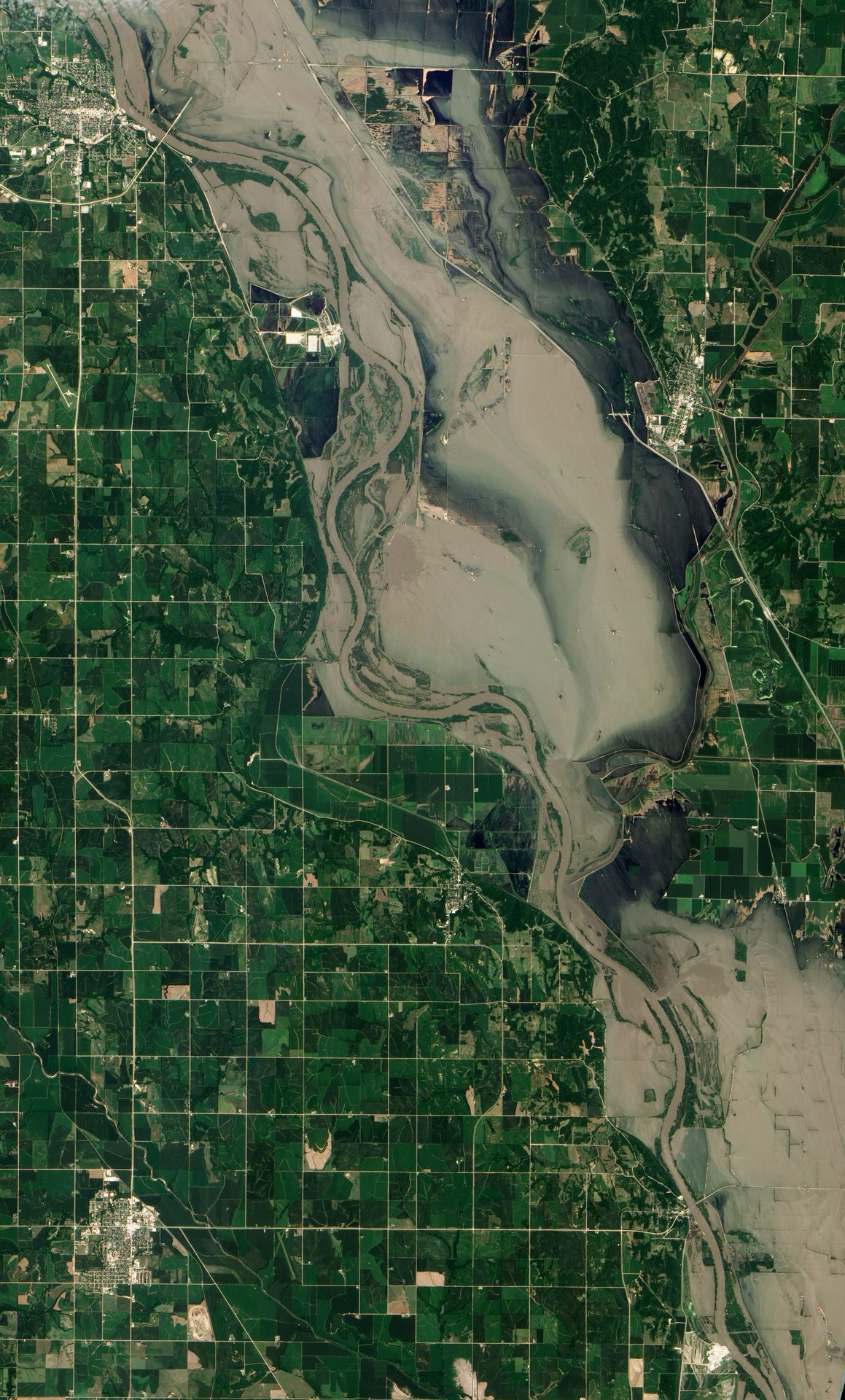
Image: NASA Earth Observatory
When disaster strikes, 17 space agencies and satellite operators pool their satellites and give free images to rescue teams. Activated 1,000 times.
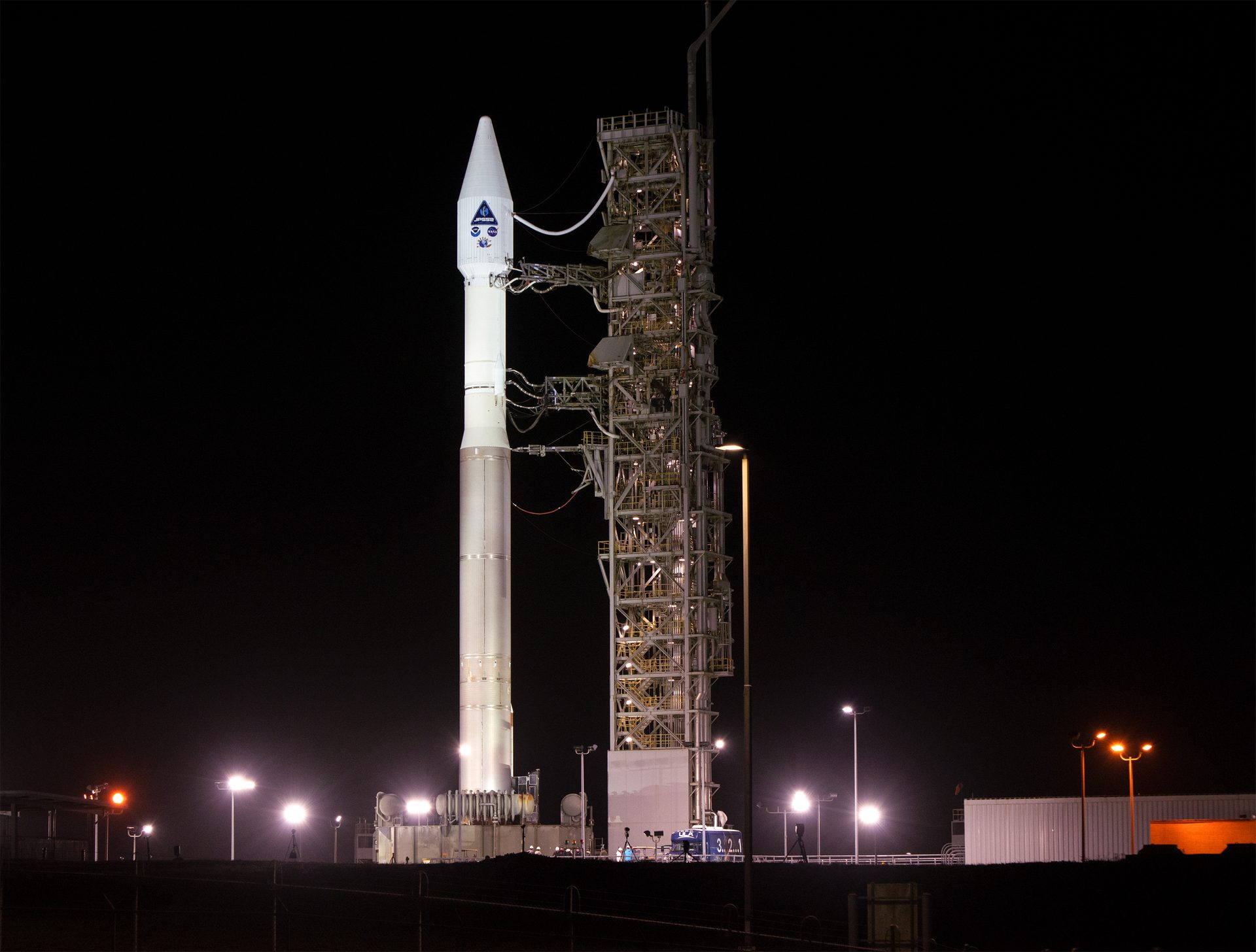
Image: NASA/Liz Wilk (KSC-20221109-PH-LNW01_0001)
NOAA's polar weather satellites circle Earth 14 times a day. Polar-orbiting satellites supply about 85% of the data used by weather prediction models.
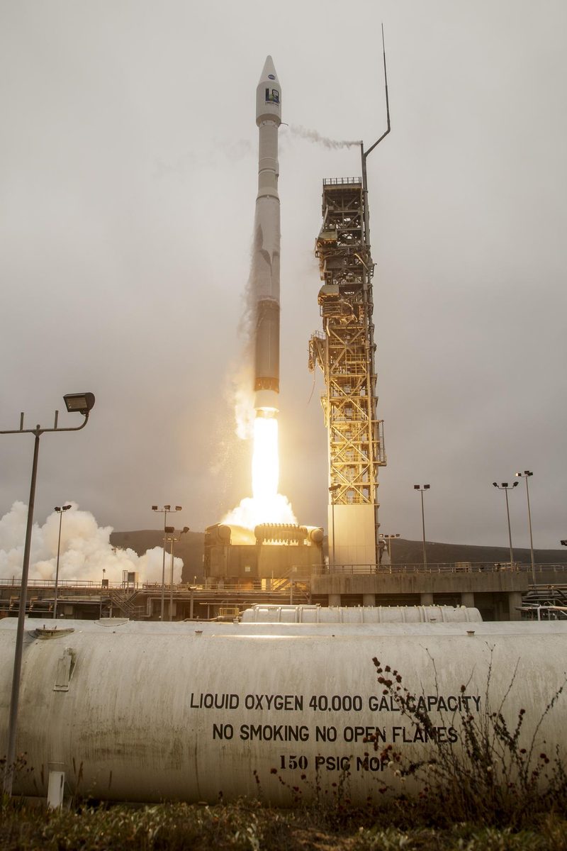
Image: NASA/Kim Shiflett (KSC-20210927-PH-KLS04_0013)
Landsat 9 continues a 50-year record of Earth’s land, collecting 740 scenes a day and, with Landsat 8, seeing each place every 8 days.
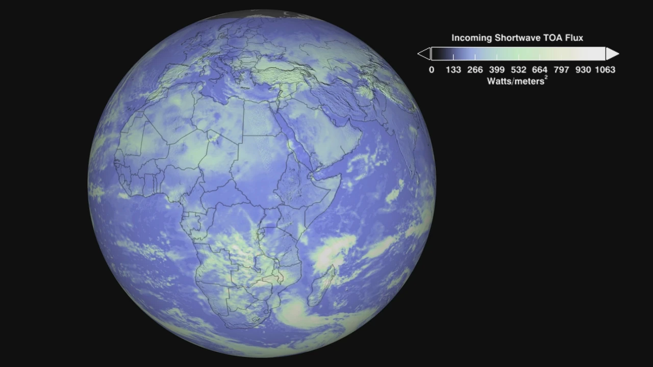
Image: NASA Goddard Space Flight Center (public domain)
Libera will measure how much energy leaves Earth each day, keeping a climate record that began in 2000 going strong (NOAA).
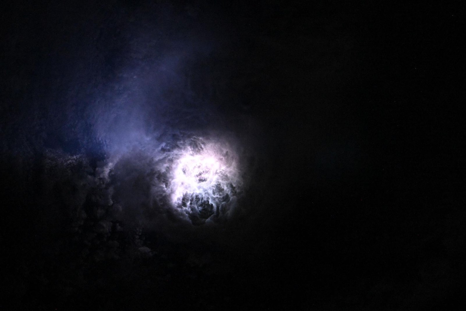
Image: NASA (ISS073-E-0080625)
Three weather satellites now watch Europe and Africa from 36,000 km up, with new images every 2.5 minutes and a camera that catches lightning day and night.
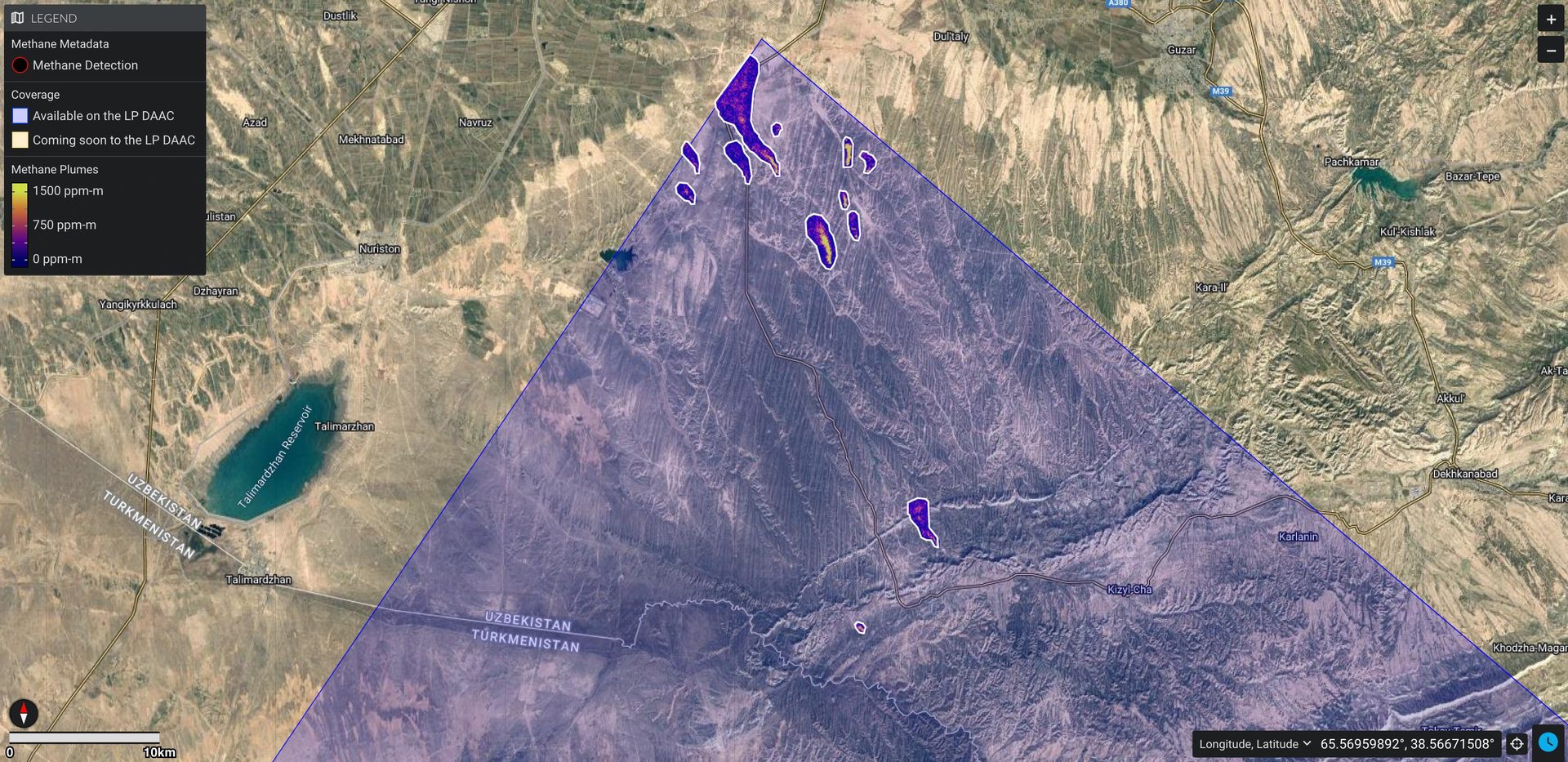
Image: NASA/JPL-Caltech (PIA26113)
The UN's satellite methane alert system has sent more than 3,500 alerts about major leaks in 33 countries, and responses rose from 1% to 12% in a year.
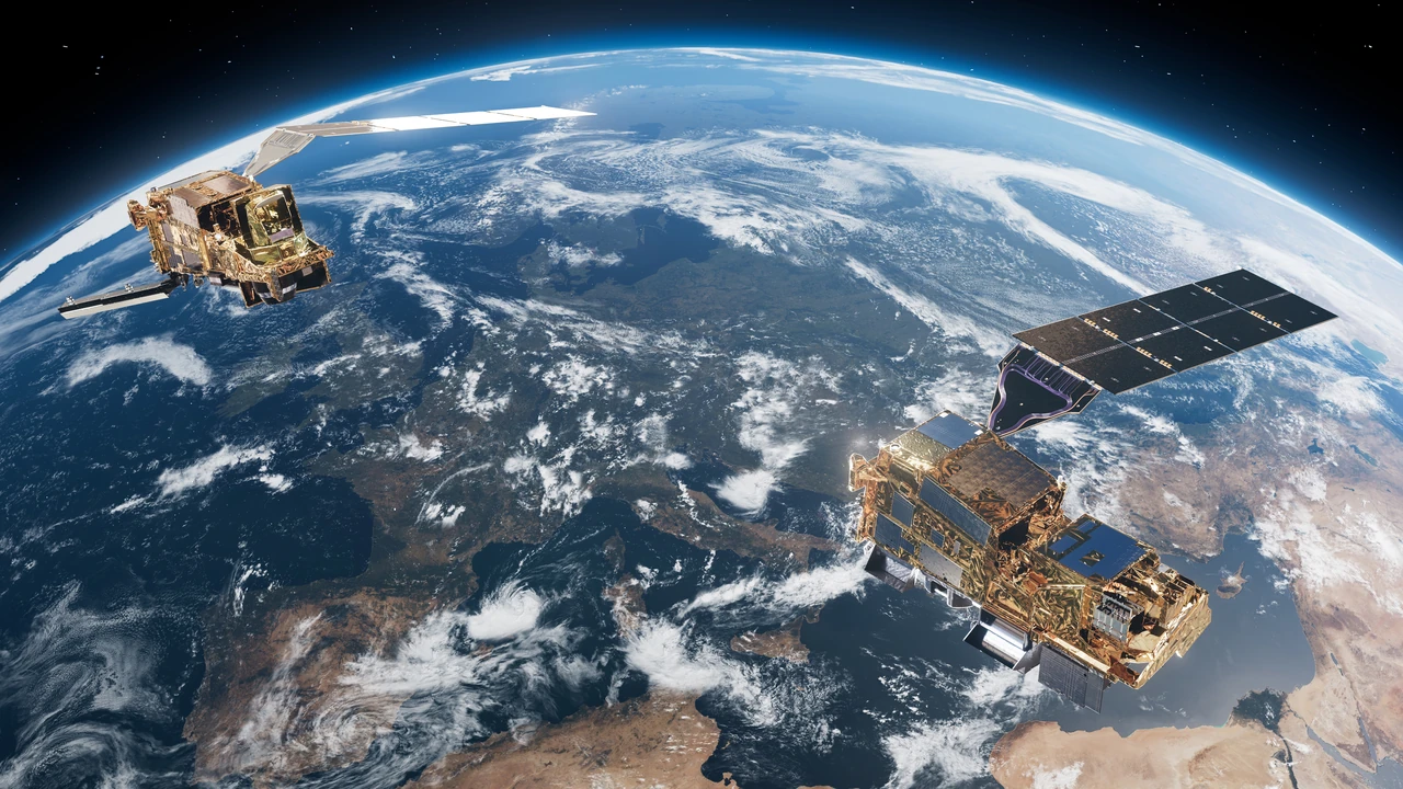
Image: ESA/ATG medialab (CC BY-SA 3.0 IGO)
Launched August 2025 on Ariane 6, MetOp-SG-A1 carries Sentinel-5, which delivers daily global data on air pollutants, ozone and climate gases.
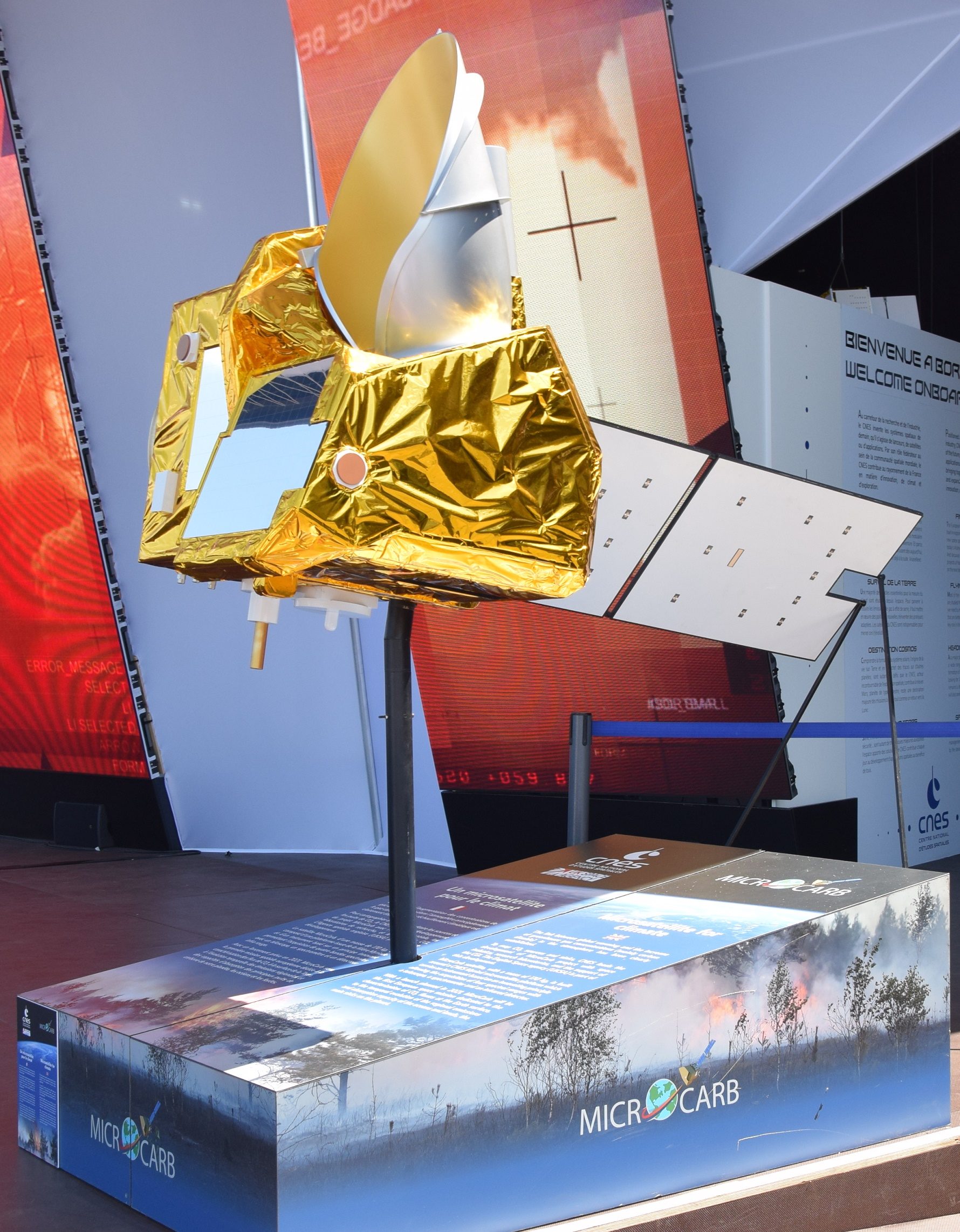
Image: Tiraden (CC BY-SA 4.0)
CNES launched MicroCarb on the night of 25–26 July 2025 to measure atmospheric carbon dioxide to about 1 part per million.
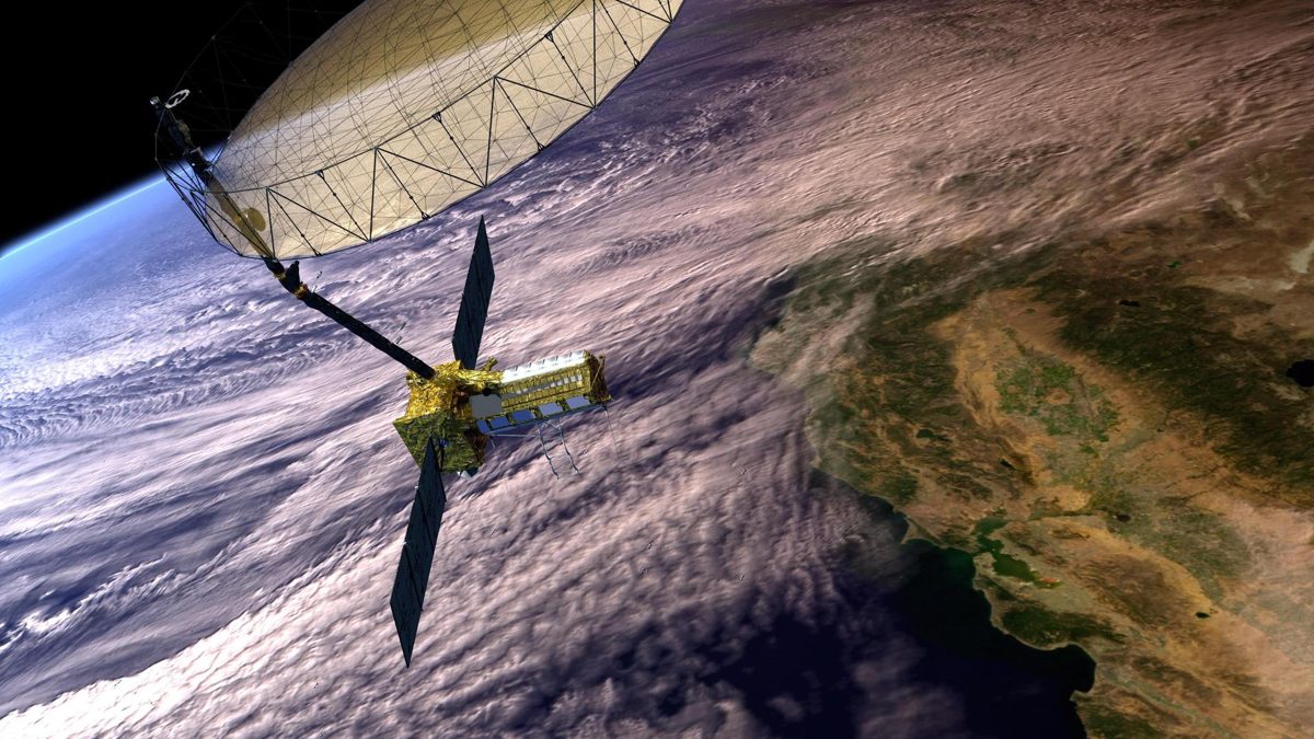
Image: NASA/JPL-Caltech (PIA26285, illustration)
NISAR, a NASA and ISRO radar satellite launched from India on July 30, 2025, scans nearly all of Earth's land and ice twice every 12 days, even through clouds.
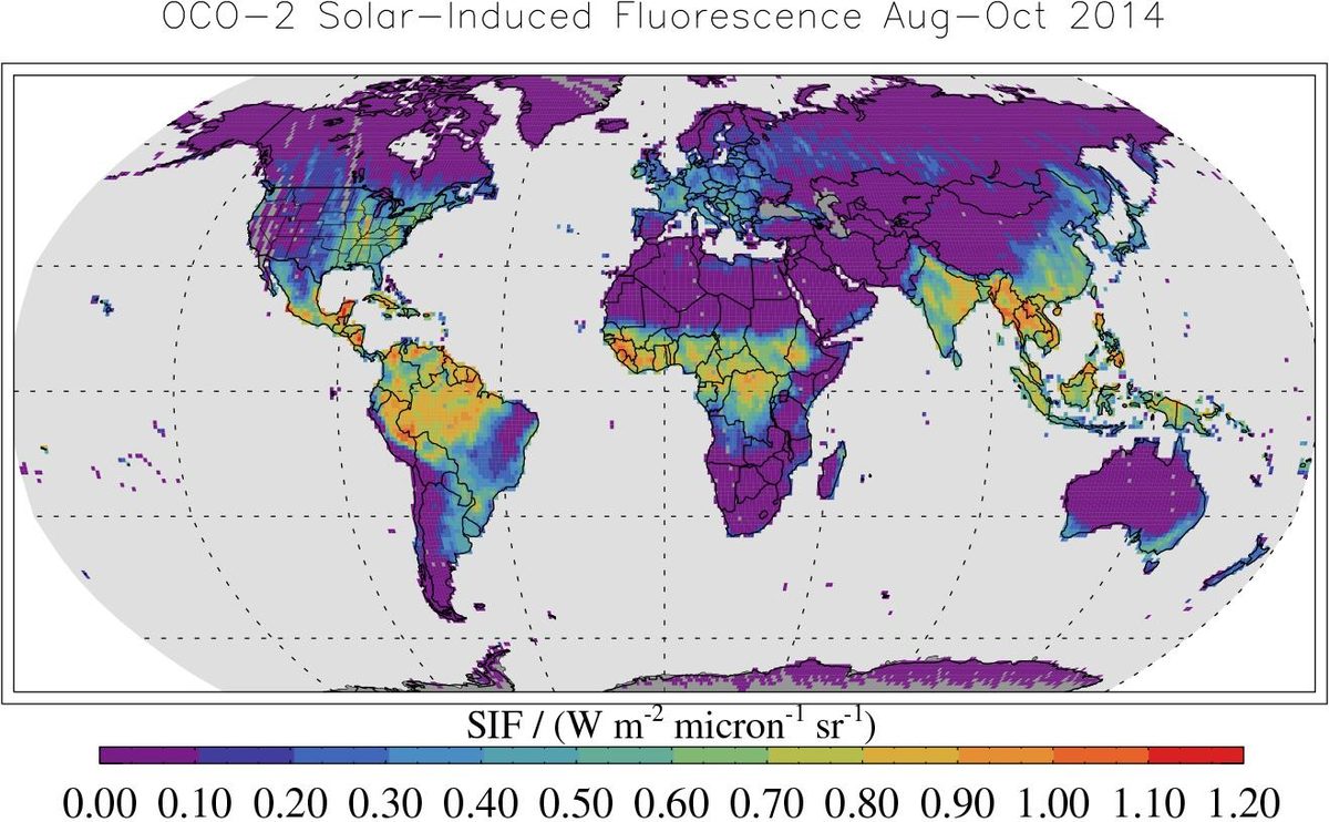
Image: NASA/JPL-Caltech (PIA18935)
NASA's OCO-2 satellite has measured carbon dioxide around the planet since 2014, showing where carbon is released and where forests and oceans absorb it.
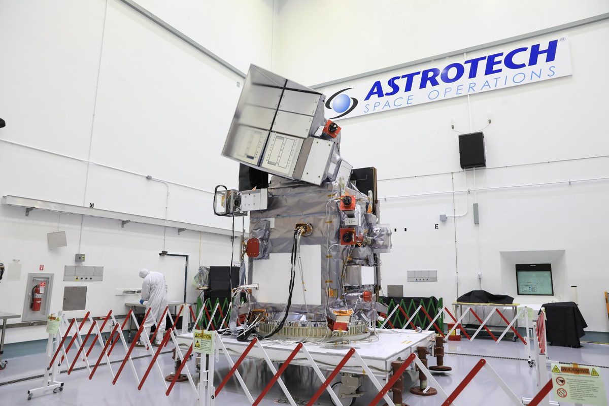
Image: NASA/Kim Shiflett (KSC-20231204-PH-KLS01_0024)
NASA's PACE reads the color of the ocean to track phytoplankton, the base of the marine food web, plus aerosols and clouds.
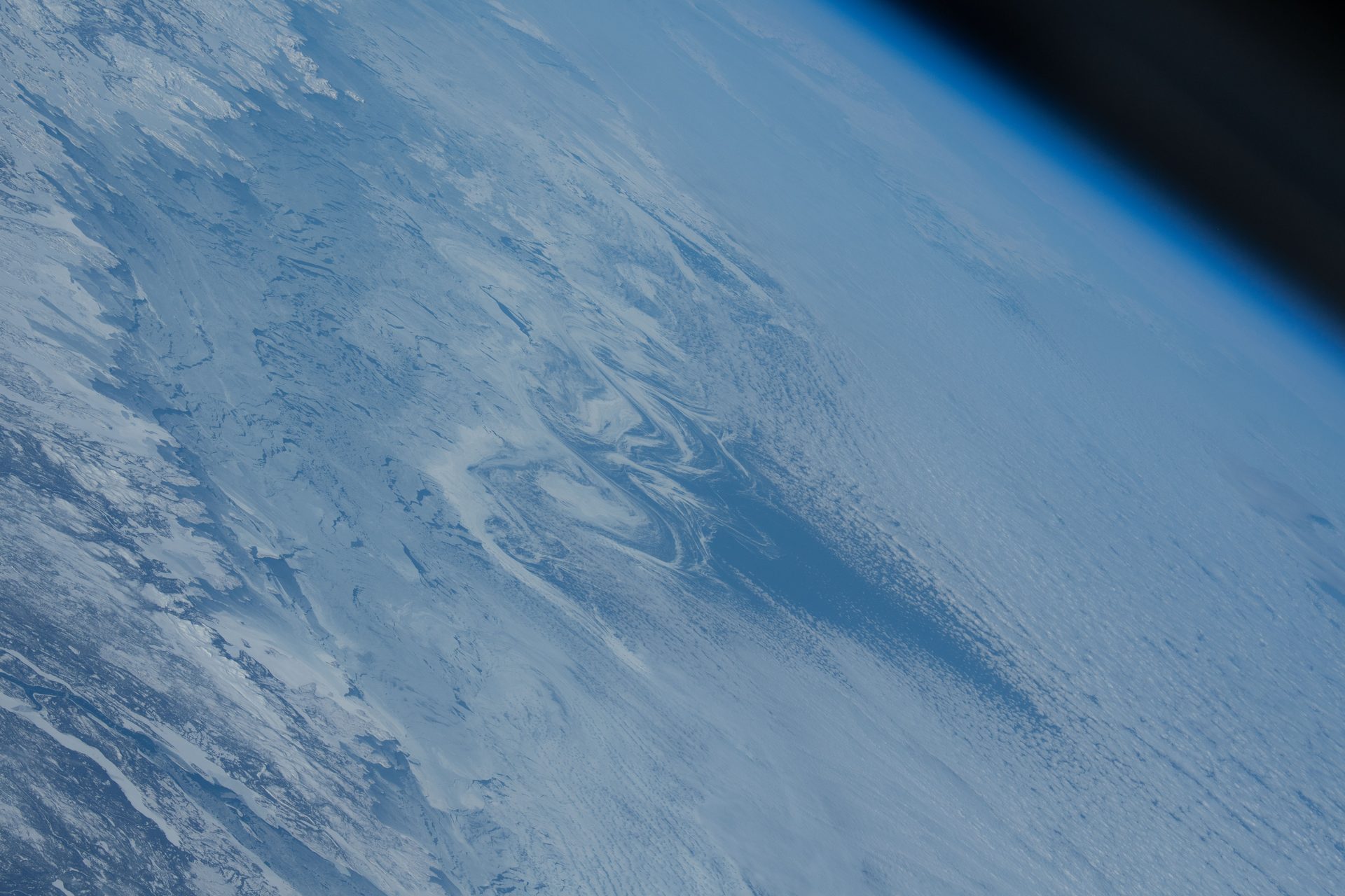
Image: NASA astronaut Loral O'Hara (iss070e086805)
Three Canadian radar satellites watch Canada's land, coasts and Arctic day and night, through cloud and smoke, with about 250,000 images a year.
Also in: Polar
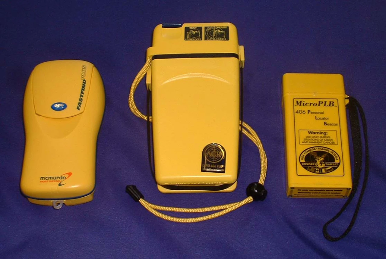
Image: NOAA (2268-532) (public domain)
NOAA's SARSAT satellites relay distress beacon signals to rescuers; the international system has supported more than 50,000 rescues worldwide since 1982 (NOAA).
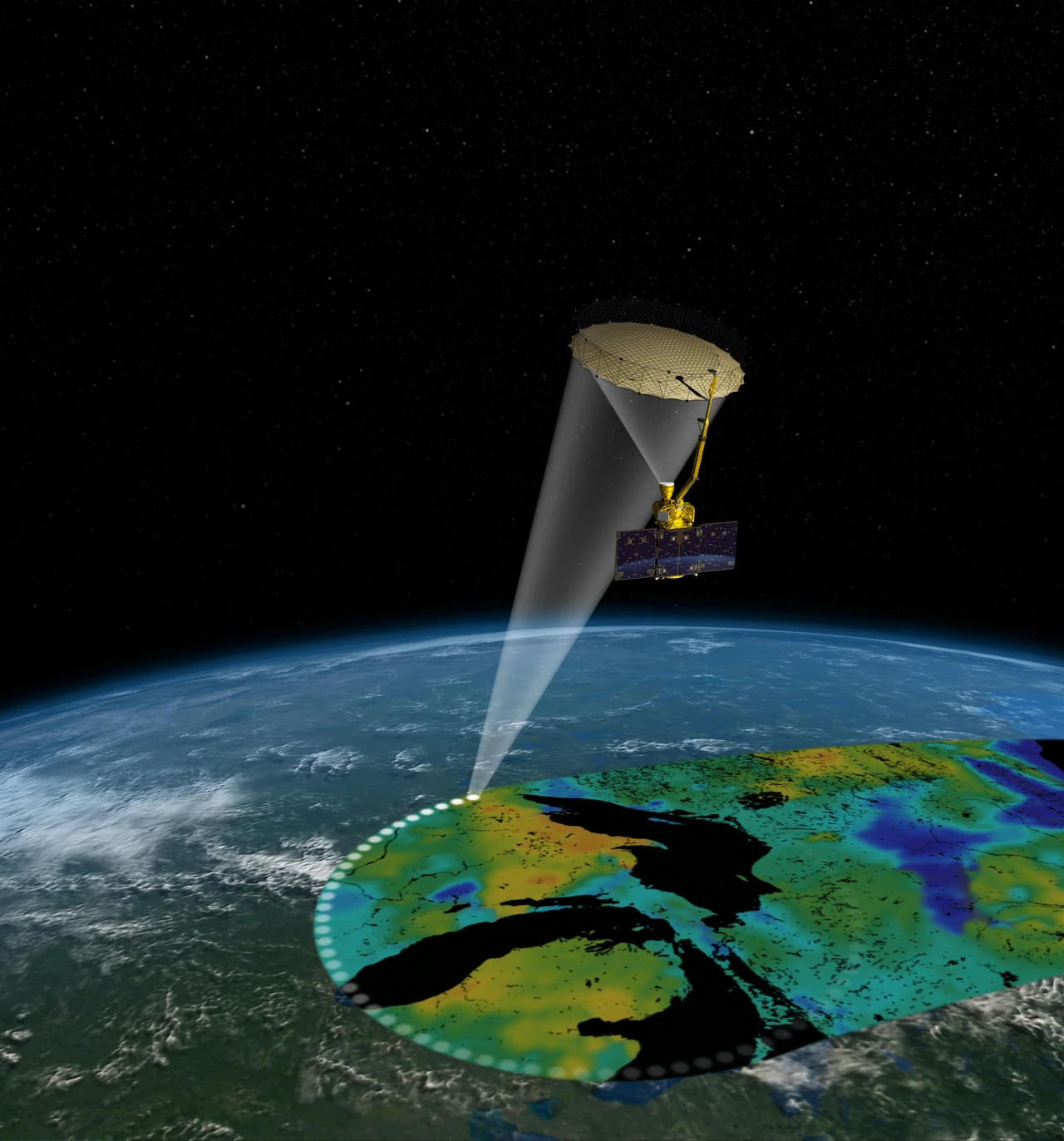
Image: NASA/JPL-Caltech (PIA19133, illustration)
SMAP maps the water in Earth's soil from space, helping improve predictions of weather, floods and droughts (NASA).
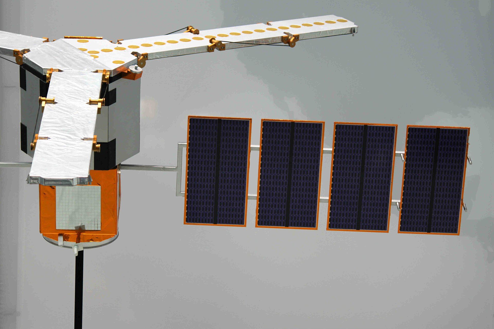
Image: DLR (CC BY 2.0)
✨ New solution
The first satellite to map soil moisture and ocean salinity worldwide, in orbit since 2009 and now helping track long-term droughts.
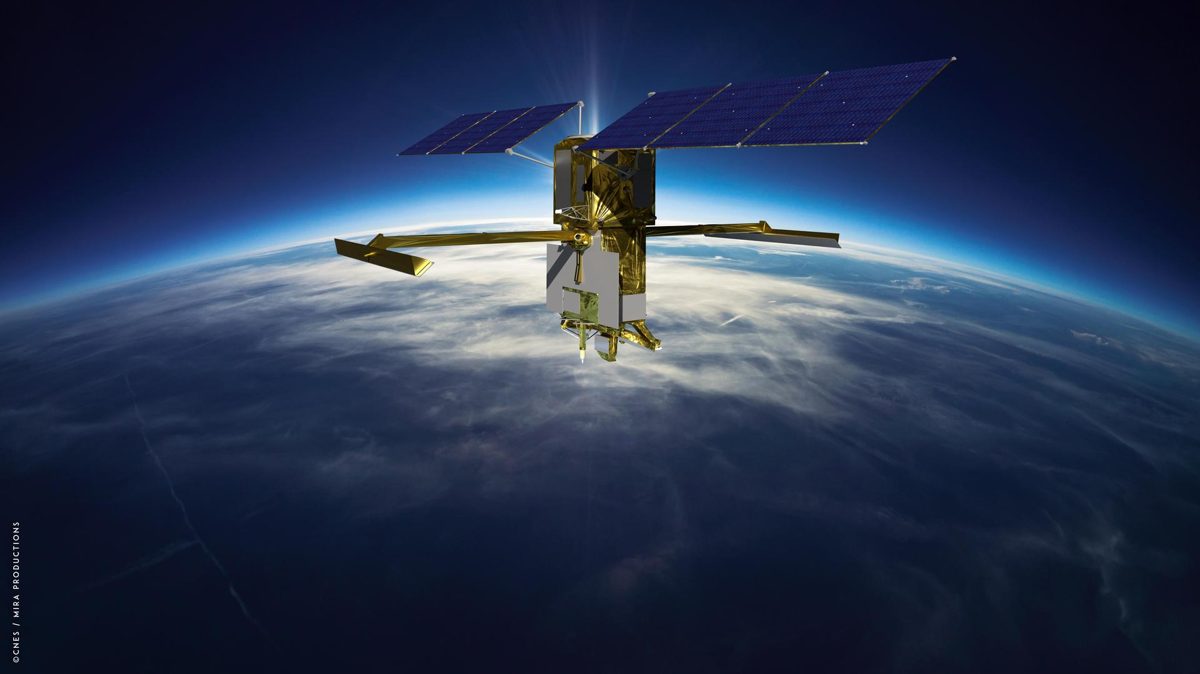
Image: CNES (PIA25623)
SWOT measures more than 95% of Earth's lakes larger than 15 acres and rivers wider than 330 feet, the first global survey of fresh water.
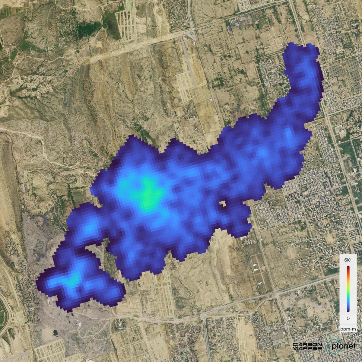
Image: Carbon Mapper/Planet Labs PBC (PIA26416)
Tanager-1, built by Planet with a NASA JPL-designed spectrometer for the nonprofit Carbon Mapper, pinpoints methane and CO2 plumes from single sources.
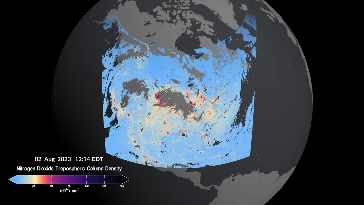
Image: NASA's Scientific Visualization Studio (public domain)
From geostationary orbit, NASA's TEMPO measures air pollution over North America every daylight hour, a first from space (NASA).
The Global Learning and Observations to Benefit the Environment (GLOBE) Program is an international science program that provides the public worldwide with the opportunity to participate in data collection and the scientific process, and contribute meaningfully to our understanding of the Earth system and global environment.
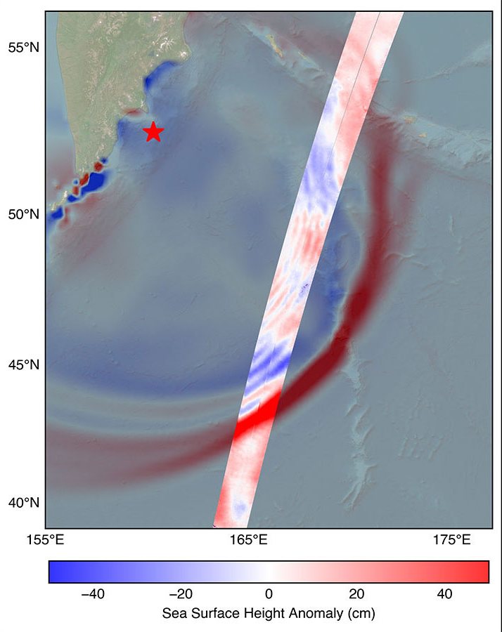
Image: NASA/JPL-Caltech (PIA26652)
Deep-ocean buoys, satellites, GPS signals and seafloor cables spot tsunamis in the open ocean so coastal communities get time to reach high ground (NOAA, NASA).
Also in: Ocean
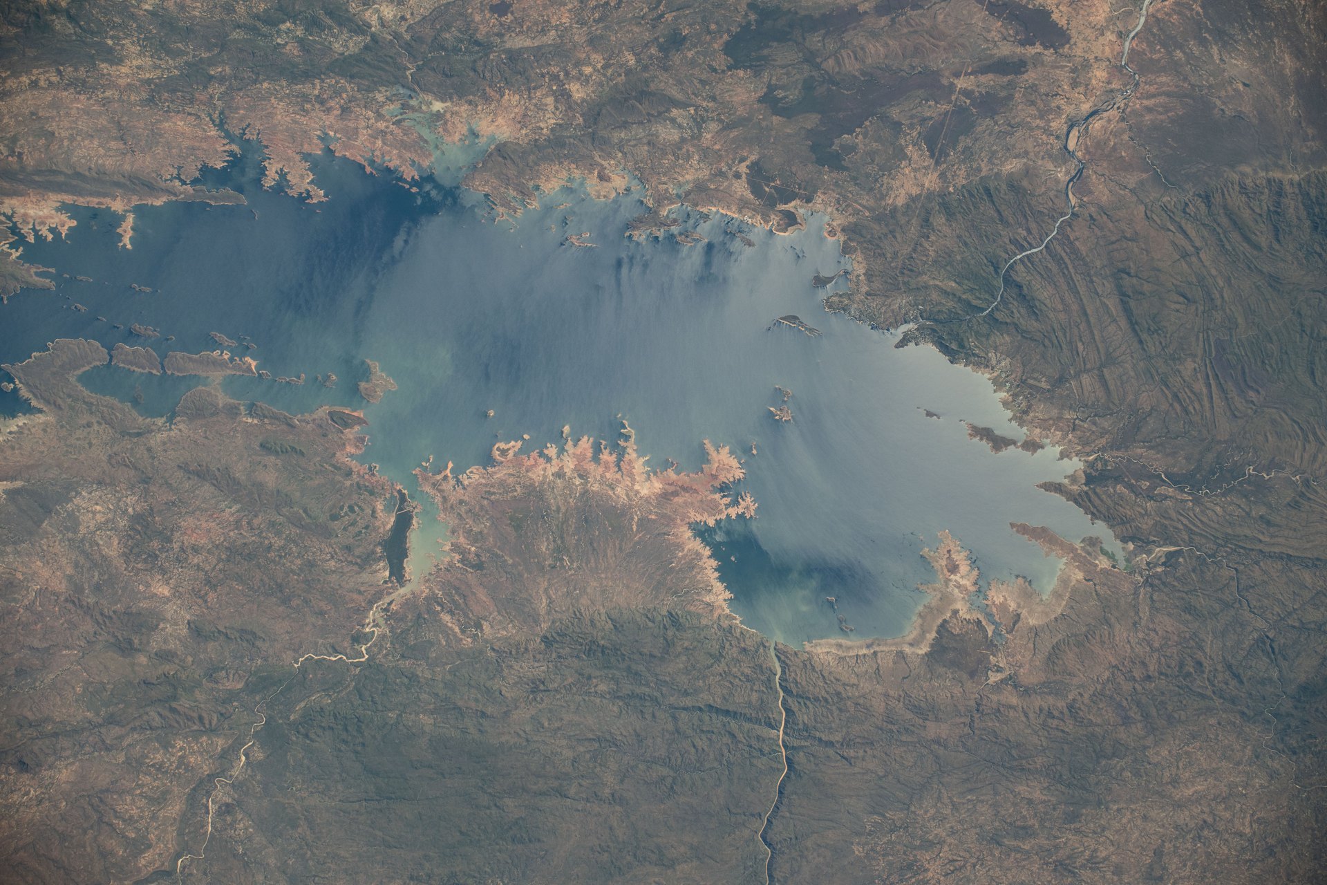
Image: NASA (iss071e047913)
African Parks manages 24 protected areas in 13 countries, covering over 20 million hectares, in partnership with governments and local communities (nonprofit).
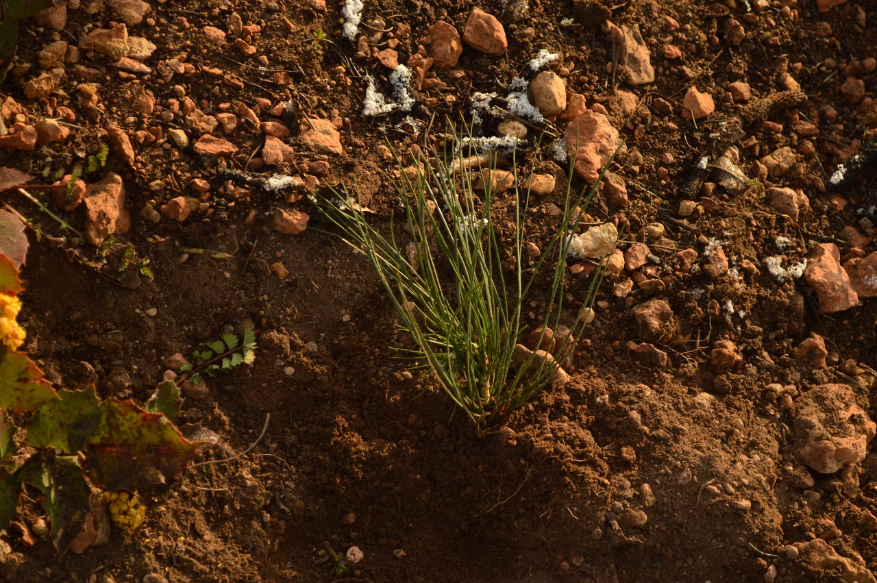
Image: Intermountain Region US Forest Service (public domain)
Since 1875, American Forests has worked to restore U.S. forests, from big natural landscapes to city streets, with more than 63 million trees planted.
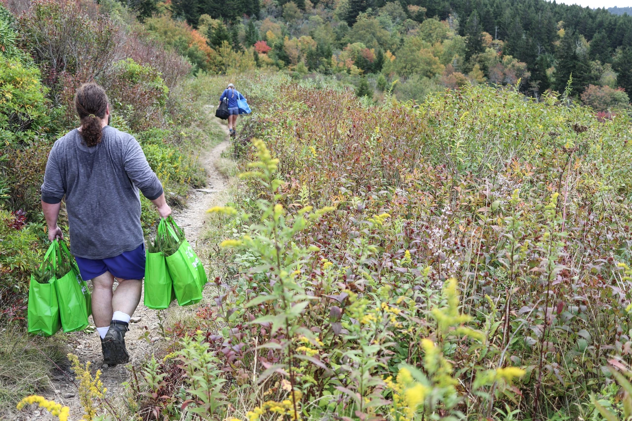
Image: Gary Peeples/USFWS (public domain)
Since 1972, the Arbor Day Foundation says it has planted more than half a billion trees, working in more than 60 countries (nonprofit figures).
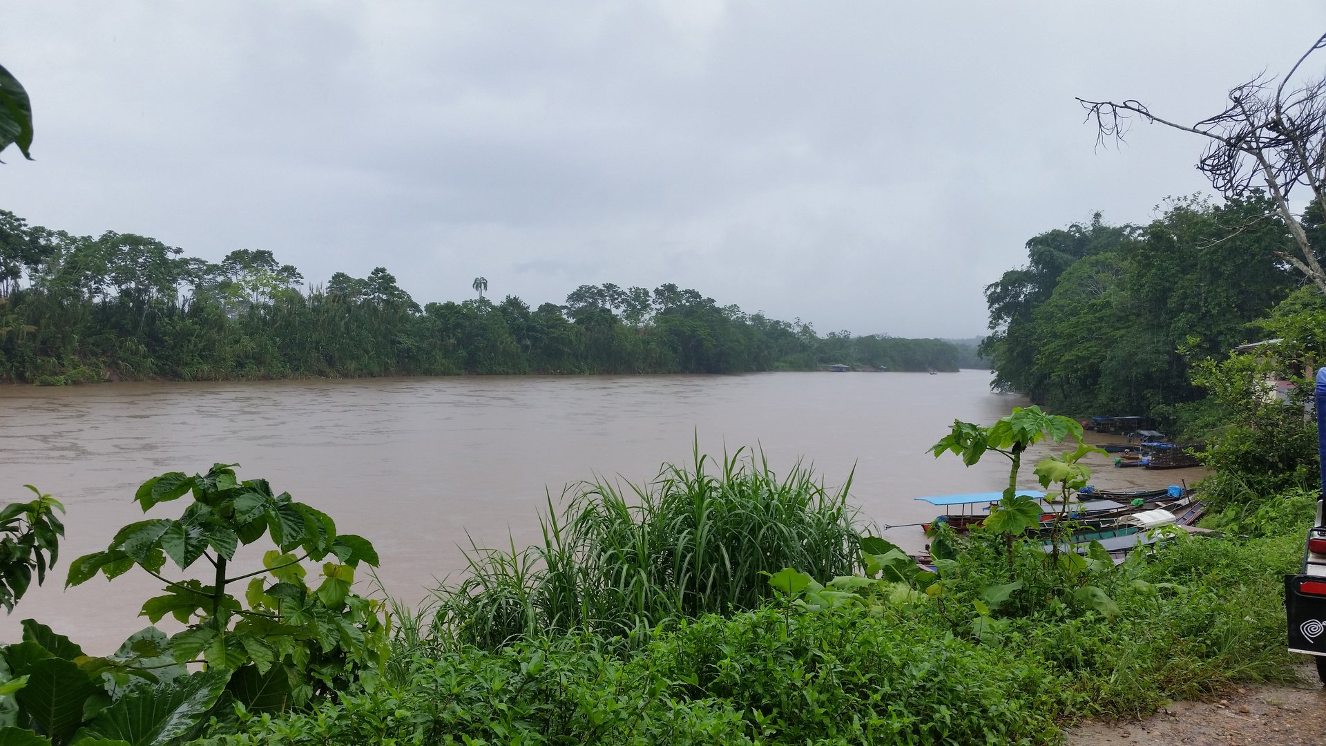
Image: Heiner Amado Cadillo via Wikimedia Commons (CC BY-SA 3.0)
Cool Earth gave 211 Indigenous people in three communities in Peru's central Amazon an unconditional basic income for two years (University of Bath).
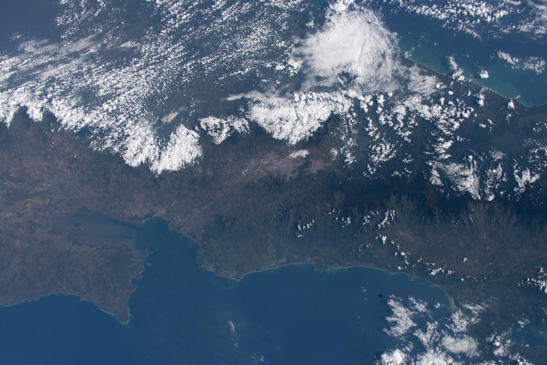
Image: NASA (iss062e001866)
Costa Rica's FONAFIFO pays the owners of forests and forest plantations for the environmental services they provide, under Forestry Law 7575 (FONAFIFO).
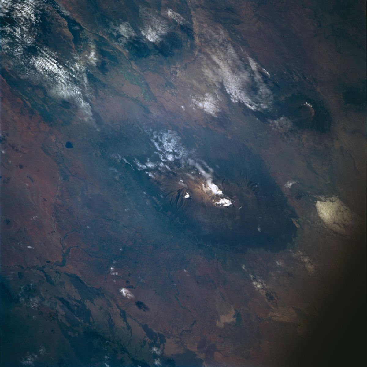
Image: NASA (STS-72)
Eden: People+Planet restores landscapes with local communities, including a 394,000-hectare project in Tanzania's Rubeho Mountains (Eden).
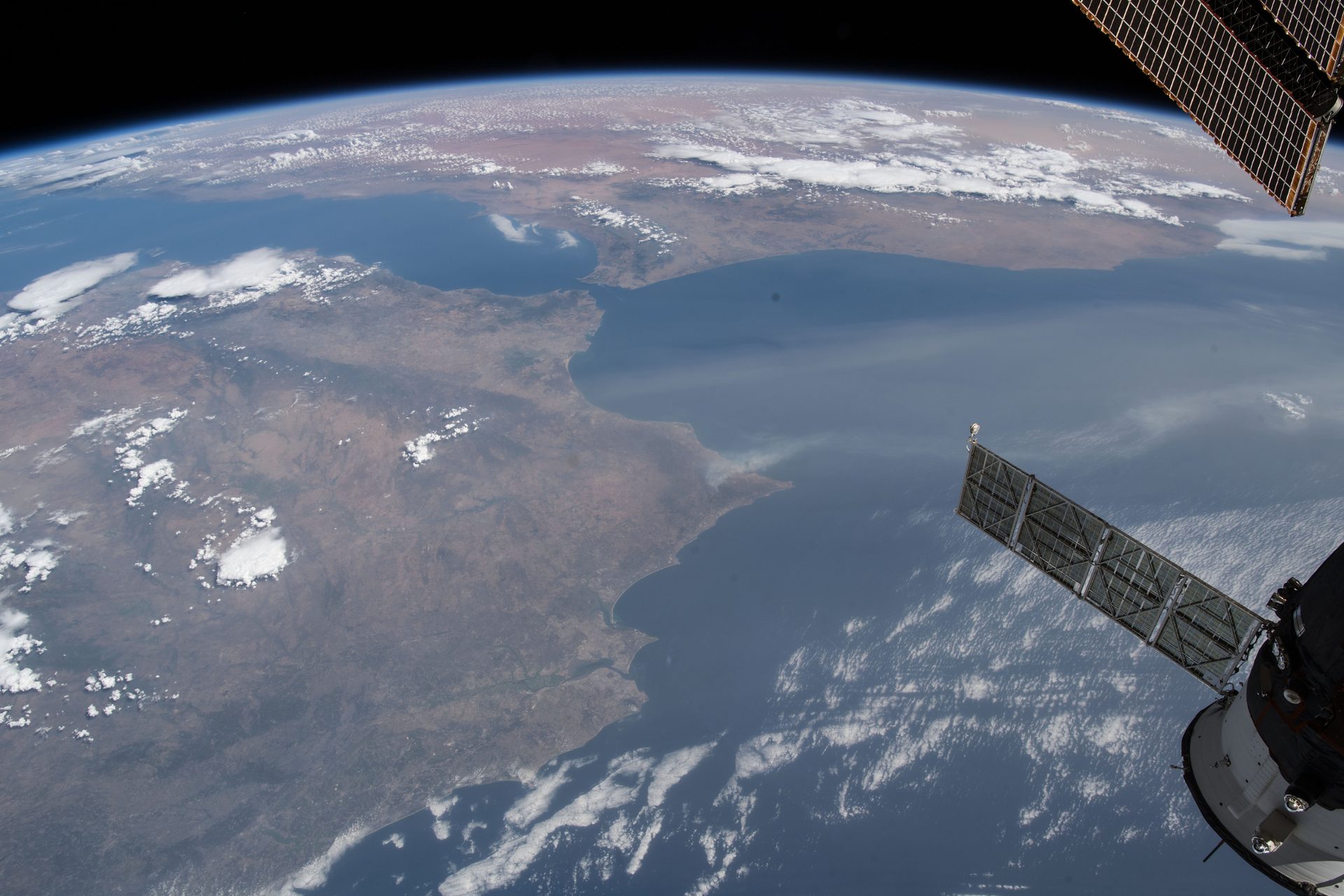
Image: NASA (ISS056-E-127068)
Europe's wildfire system forecasts fire danger and maps burnt areas from satellites. In 2024 it mapped wildfires in 42 countries.
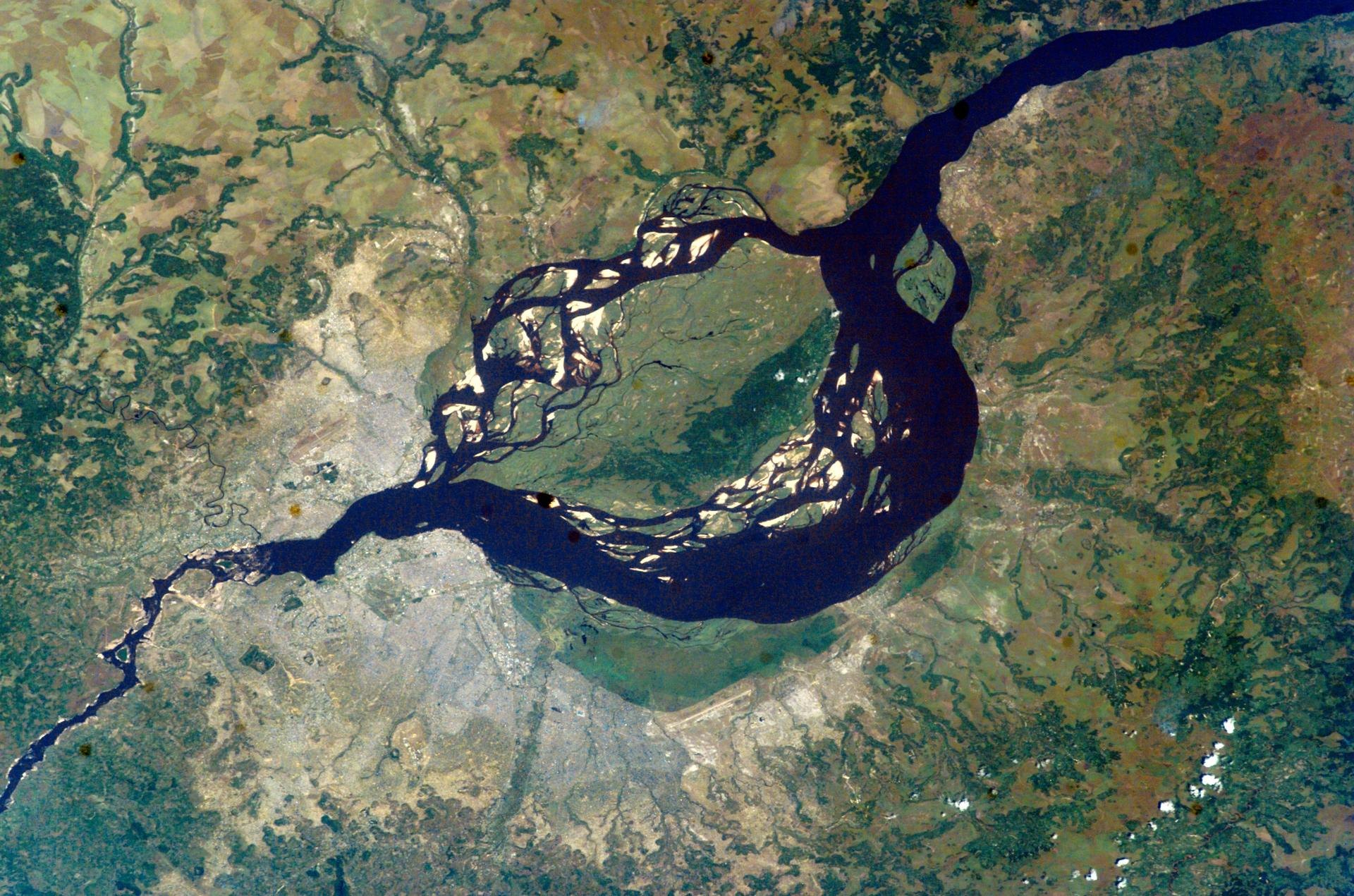
Image: NASA (ISS007-E-06305)
By thinning small trees, forest elephants help central Africa's rainforests store more carbon: 26 to 60 more tonnes of biomass per hectare (Nature Geoscience).
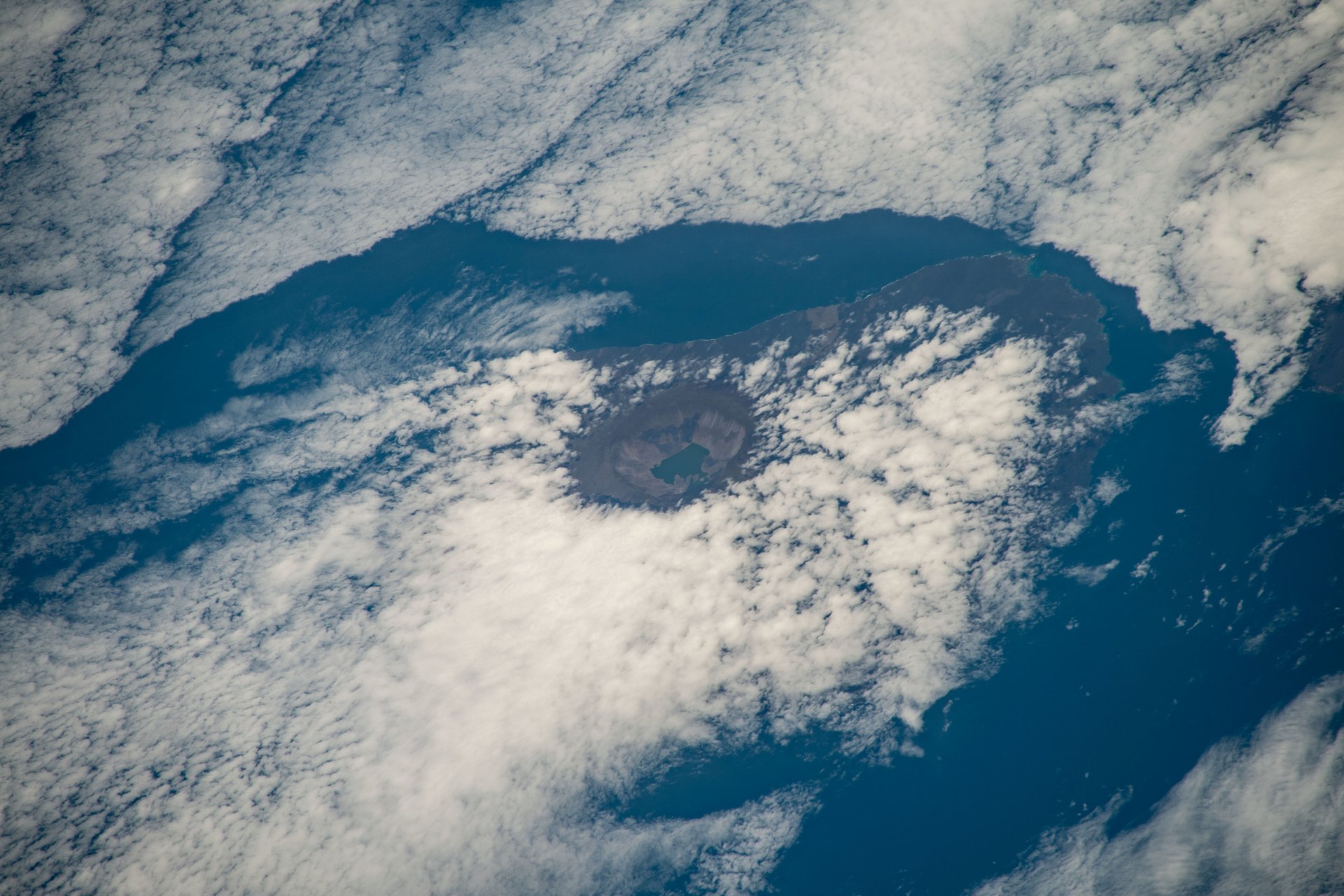
Image: NASA (iss068e025397)
Galápagos Conservancy and the Galápagos National Park Directorate rear giant tortoises in breeding centres and return them to their home islands.
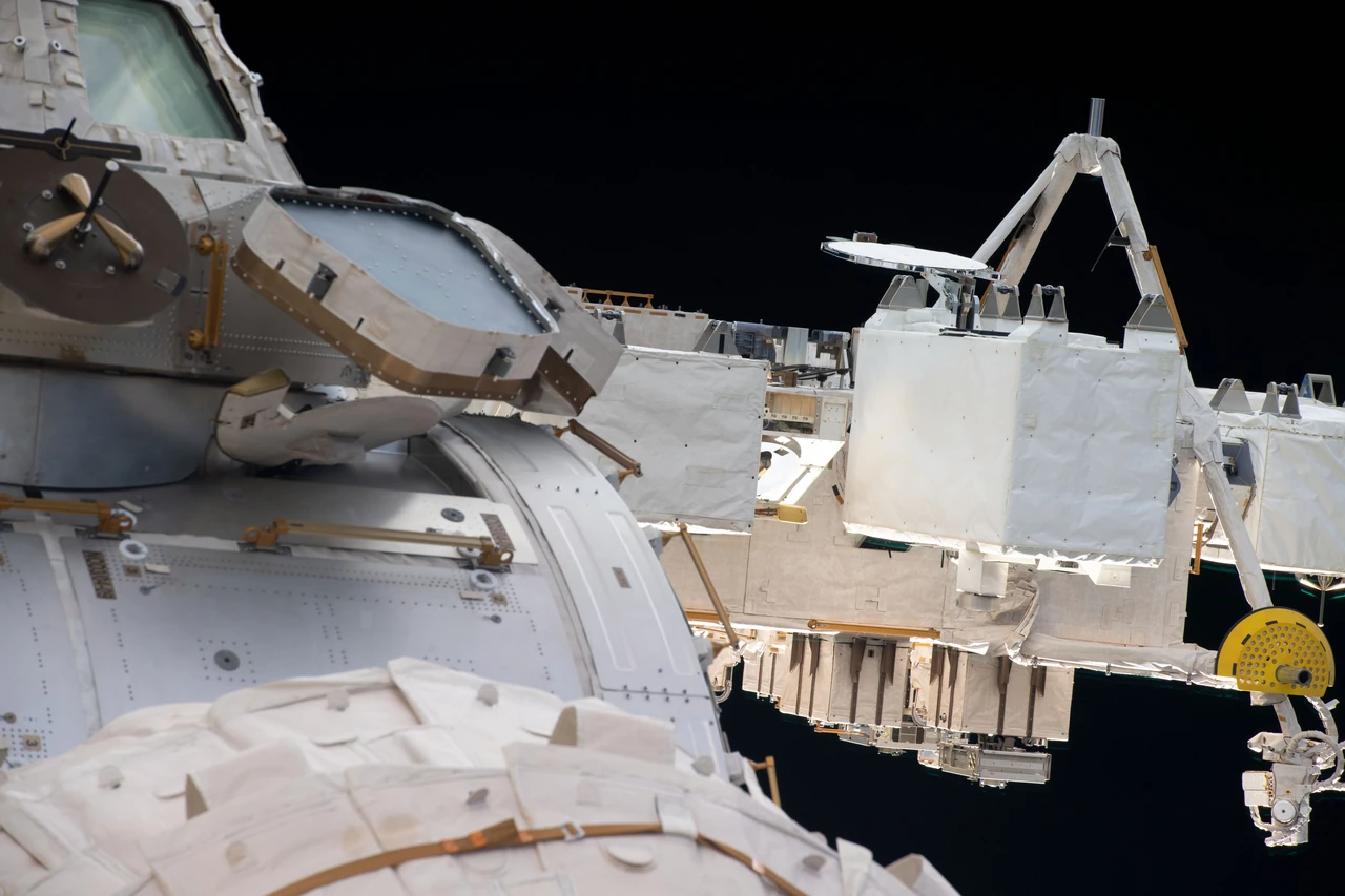
Image: NASA (iss059e088632)
GEDI fires lasers from the International Space Station to measure the height and 3D shape of Earth's forests (University of Maryland).
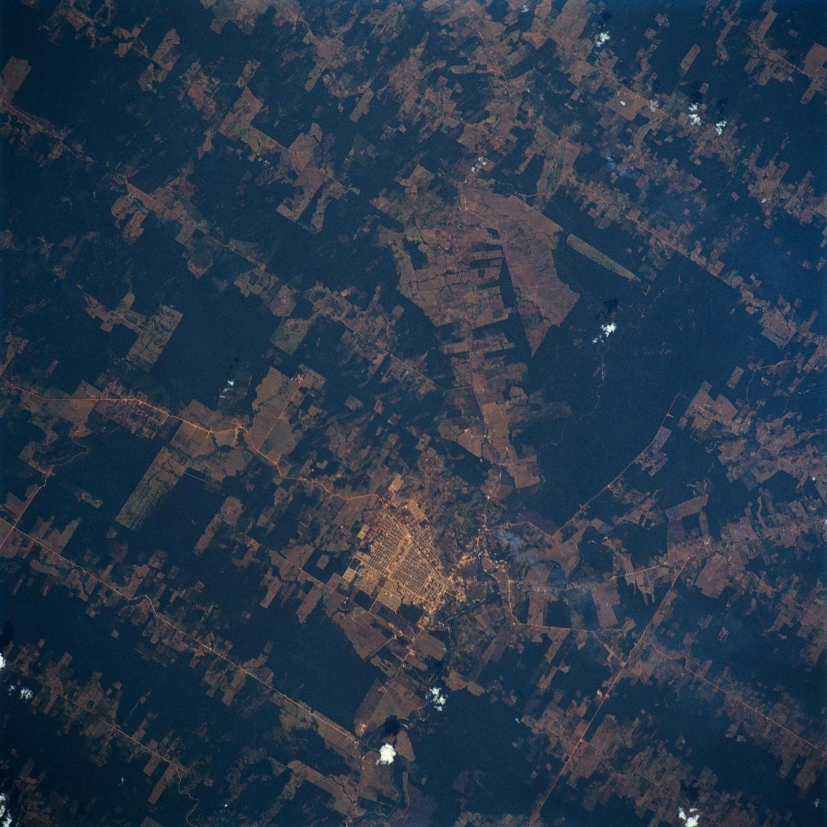
Image: NASA (STS046-103-053)
Free satellite forest data and deforestation alerts from WRI; where Indigenous forest monitors used it, deforestation fell 52% in one year.
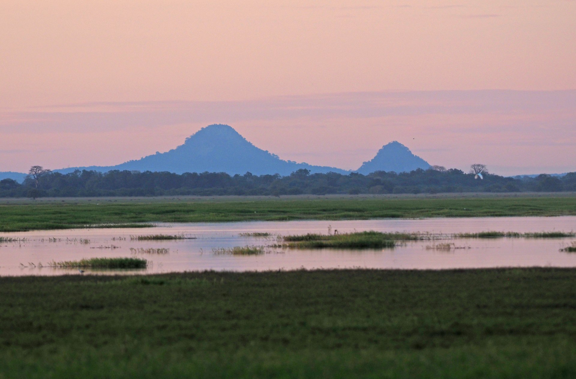
Image: Judy Gallagher via Wikimedia Commons (CC BY 2.0)
The Mozambique government and the Gorongosa Project are restoring Gorongosa National Park as "a park for the people" (Gorongosa).
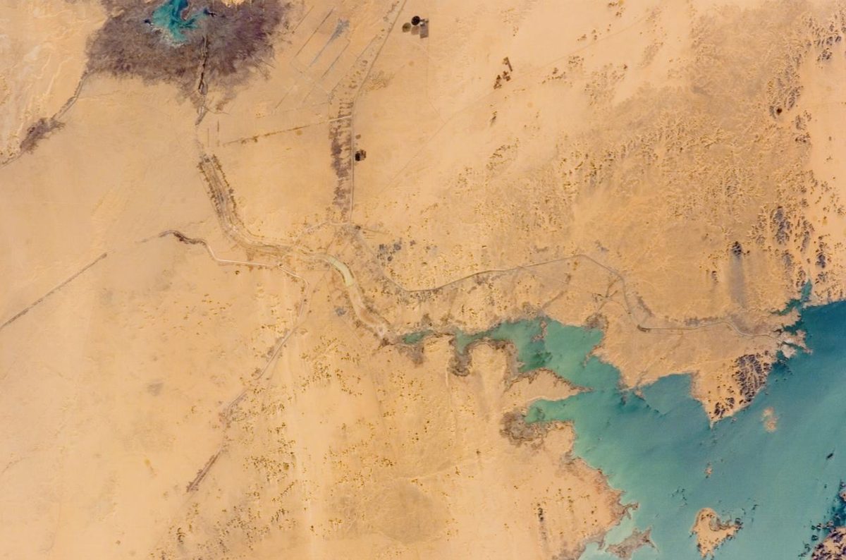
Image: NASA (ISS012-E-11654)
An African-led effort to restore land across the Sahel. A 2020 UN status report counted about 4 million hectares restored inside the Great Green Wall zone.
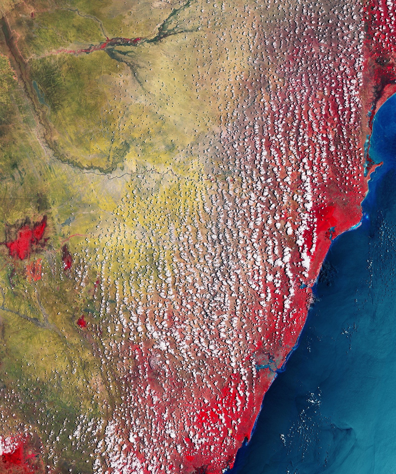
Image: contains modified Copernicus Sentinel data (2023), processed by ESA
With farmers and pastoralists in Africa, Justdiggit is restoring 525,000 hectares of dry land and has brought back 32.3 million trees (organization figures).
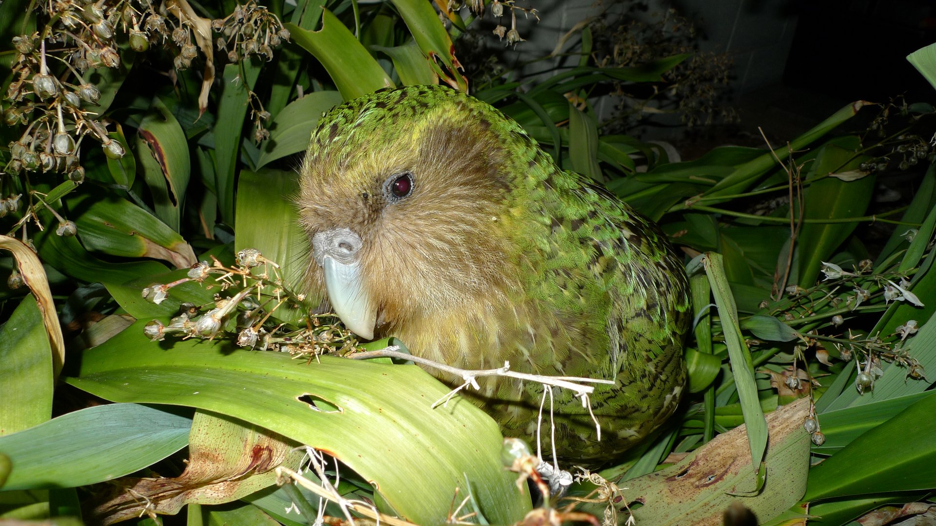
Image: NZ Department of Conservation via Wikimedia Commons (CC BY 2.0)
New Zealand's Department of Conservation and Ngāi Tahu have rebuilt the kākāpō from just 51 birds in 1995 (NZ DOC).
Created by the Founder and SI
Life Terra and its partners have planted more than 36 million trees across Europe (company figure), working toward a goal of 500 million trees.
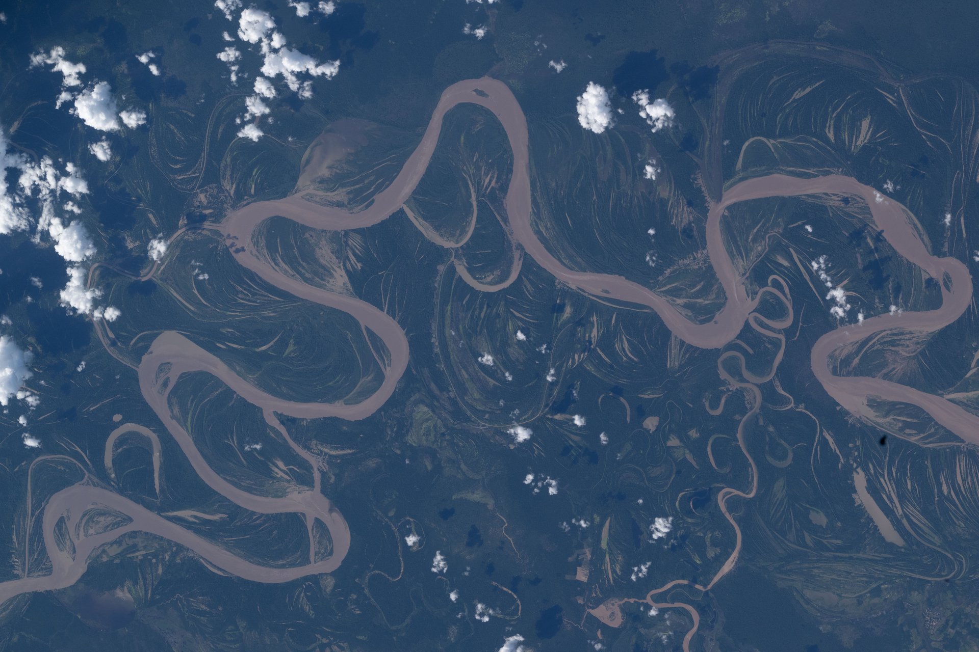
Image: NASA/Jessica Meir (iss074e0492148)
MAAP, an initiative of the nonprofit Amazon Conservation, uses satellite images to report on urgent deforestation and fires in the Amazon.
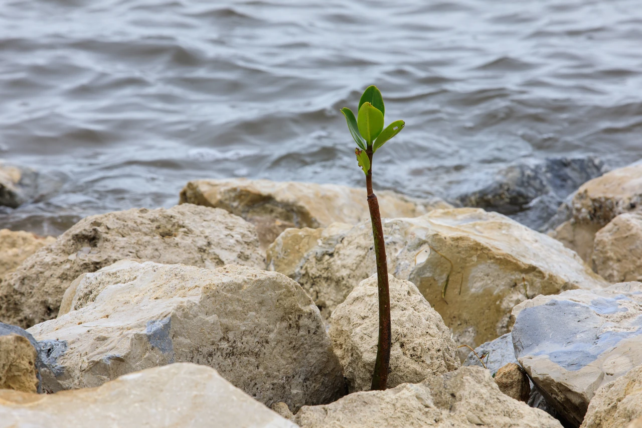
Image: NASA/Glenn Benson (KSC-20230412-PH-GEB01_0006)
About 80 species of mangrove trees guard tropical coastlines: their tangled roots hold mud in place, soften storm surges and give fish food and shelter.
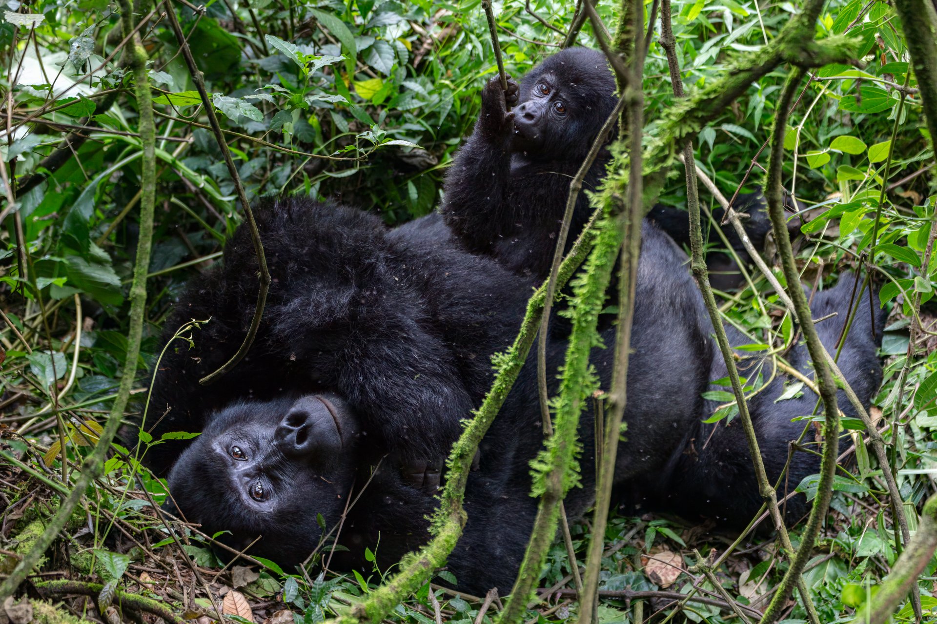
Image: Diego Delso via Wikimedia Commons (CC BY-SA 4.0)
Rangers, vets and communities in Uganda, Rwanda and the DR Congo pulled mountain gorillas up from Critically Endangered (IUCN).
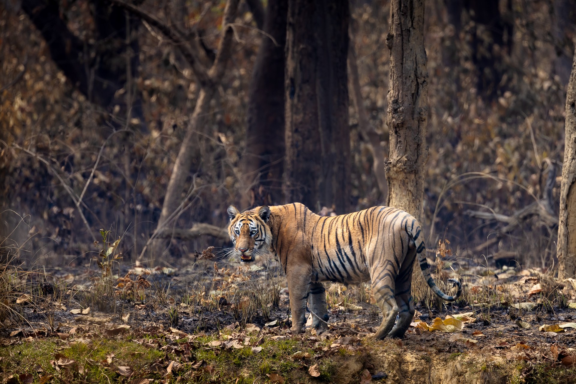
Image: Ambish Kazi via Wikimedia Commons (CC BY-SA 4.0)
With rangers, wildlife corridors and over 450 community anti-poaching units, Nepal nearly tripled its wild tigers in 13 years (NTNC).
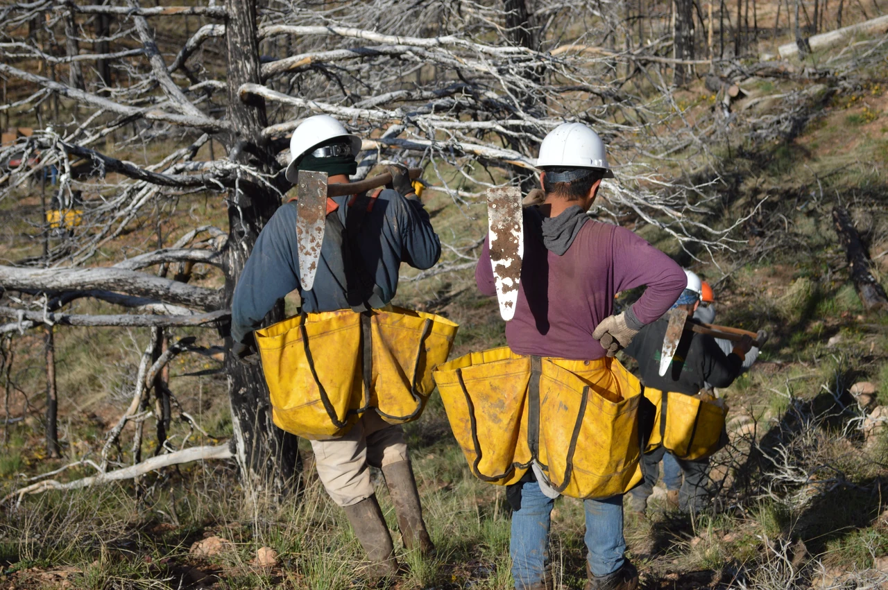
Image: USDA Forest Service Intermountain Region (public domain)
Since 2014, One Tree Planted has planted more than 171 million trees with 489 partners in 84 countries (organization figure).
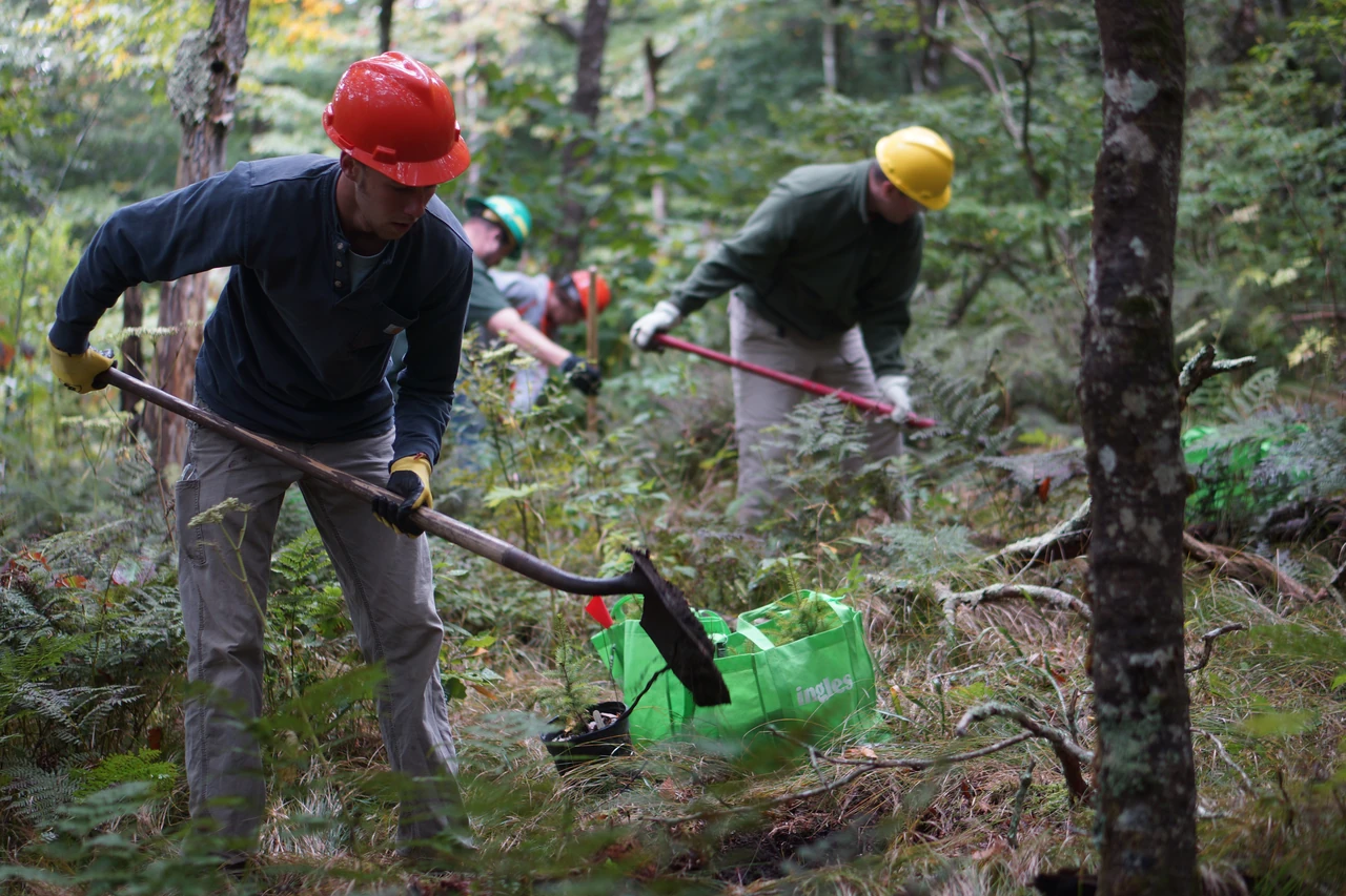
Image: U.S. Fish and Wildlife Service Southeast Region (public domain)
Started by a 9-year-old in 2007, Plant-for-the-Planet trains young Climate Justice Ambassadors and restores forests, including Mexico's Mayan forests.
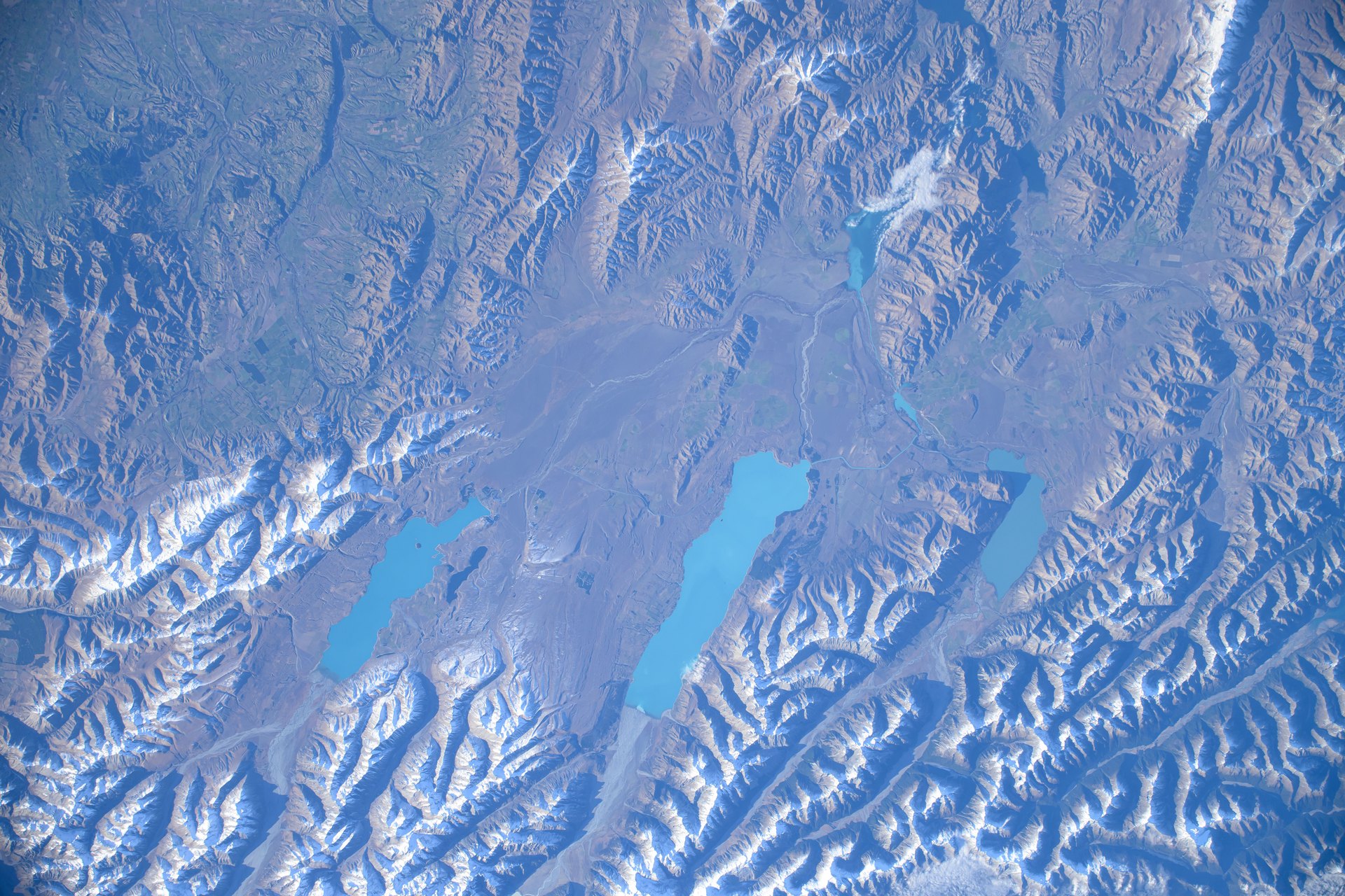
Image: NASA (iss071e073568)
Predator Free 2050 is a nationwide goal to eradicate rats, possums, feral cats and mustelids from Aotearoa New Zealand, led by the Department of Conservation.
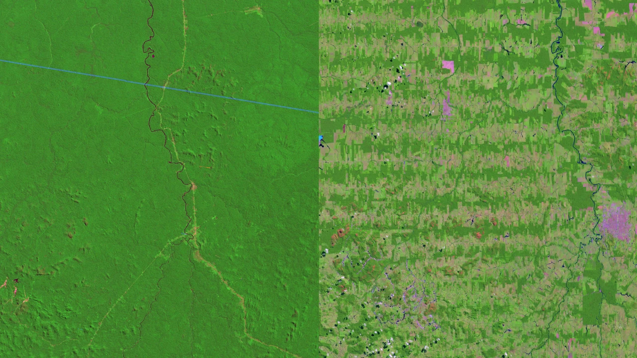
Image: NASA's Goddard Space Flight Center/Landsat (public domain)
Solar-powered Guardian listening devices and SI detect chainsaws in real time; Rainforest Connection reports more than 726,000 hectares of rainforest protected.
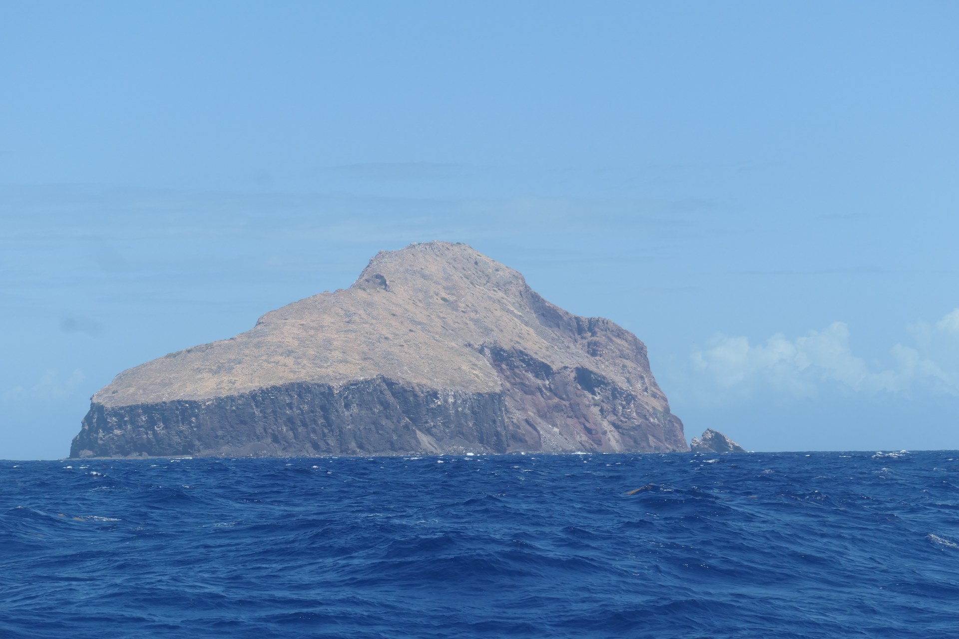
Image: Addshore via Wikimedia Commons (CC BY-SA 4.0)
Redonda went from a dusty moonscape to a wildlife haven and is now one of the largest protected areas in the Caribbean (Fauna & Flora).
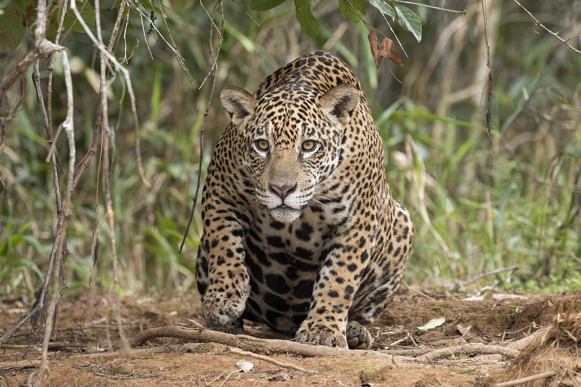
Image: Charles J. Sharp (CC BY-SA 4.0)
✨ New solution
Jaguars were gone from Corrientes for more than 70 years. As of mid-2026, at least 50 roam free in Iberá Park.
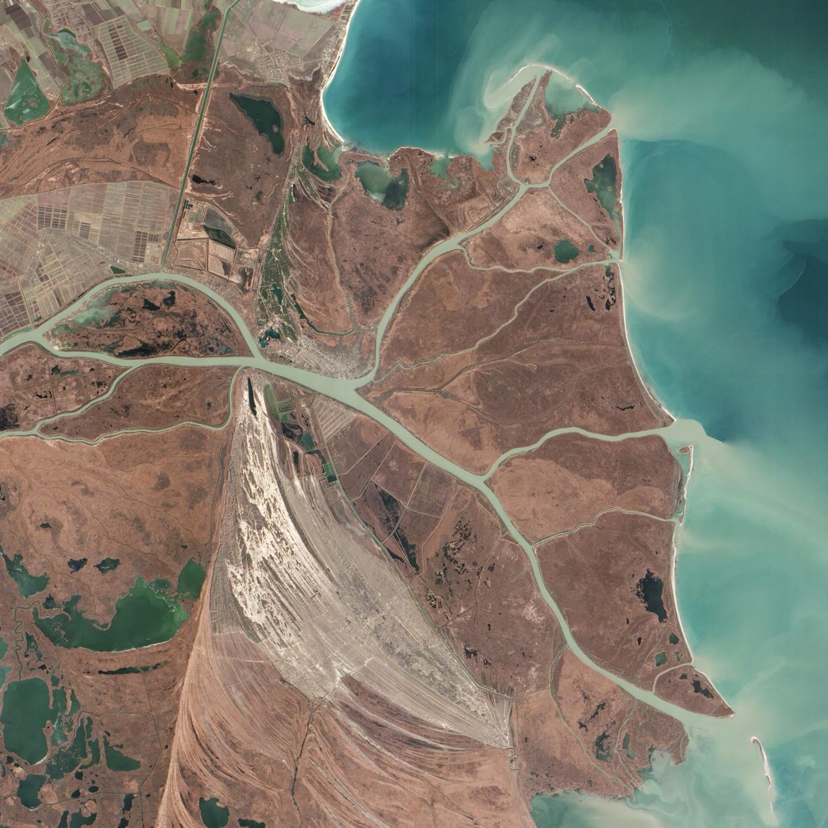
Image: NASA/Goddard
Rewilding Europe helps wild nature make a comeback. With more than 30 different species reintroduced and over 1 million hectares of land being rewilded across 11 different landscapes in Europe.
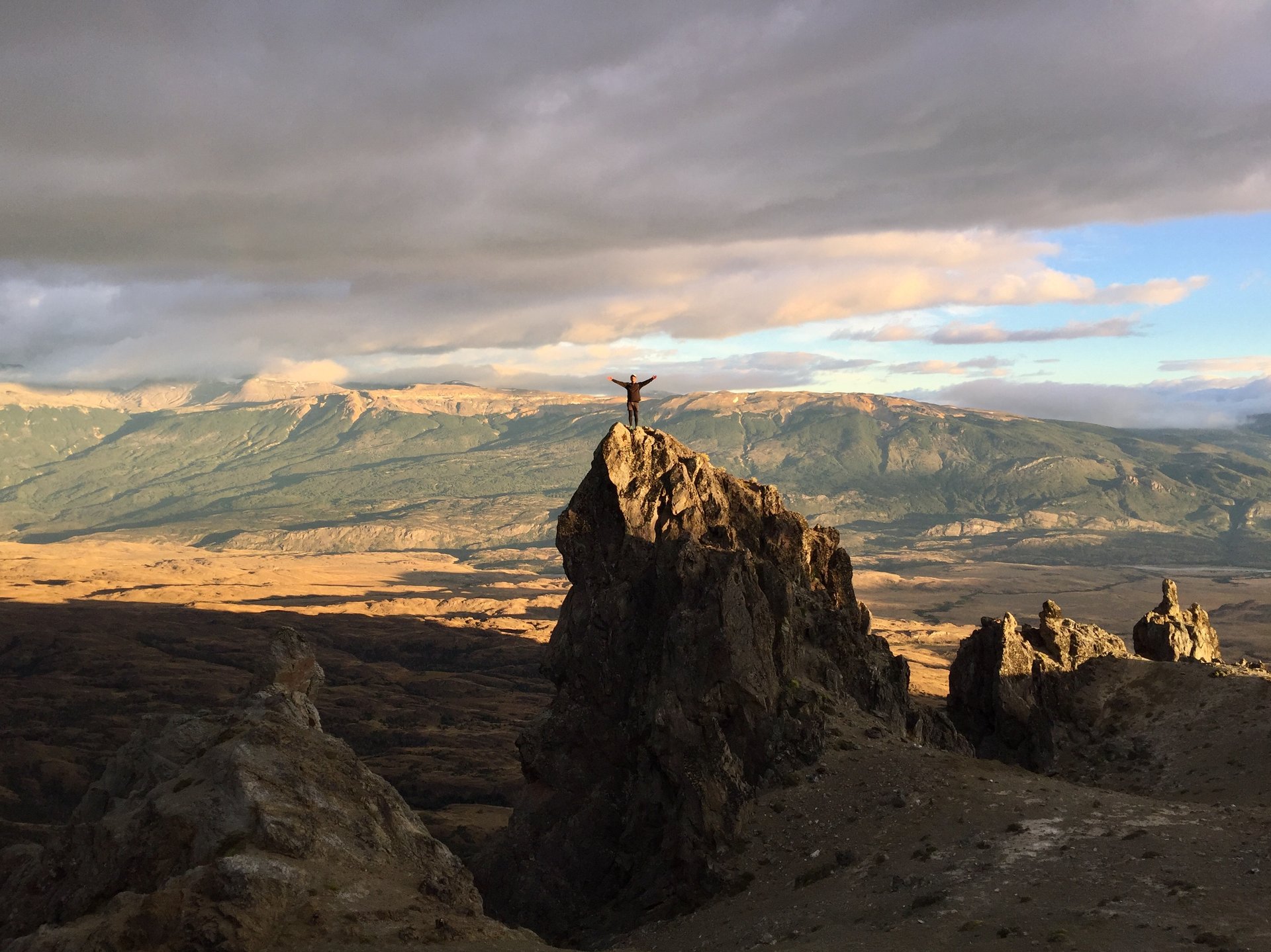
Image: Gonzalo Lastra via Wikimedia Commons (CC BY-SA 4.0)
In January 2018, Chile and Tompkins Conservation signed the decrees creating a network of new national parks across Patagonia (Tompkins Conservation).
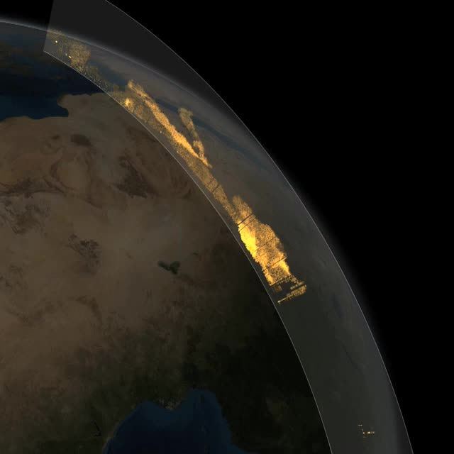
Image: NASA's Goddard Space Flight Center
Every year about 27.7 million tons of Saharan dust falls on the Amazon, delivering some 22,000 tons of phosphorus that the rainforest needs (NASA).
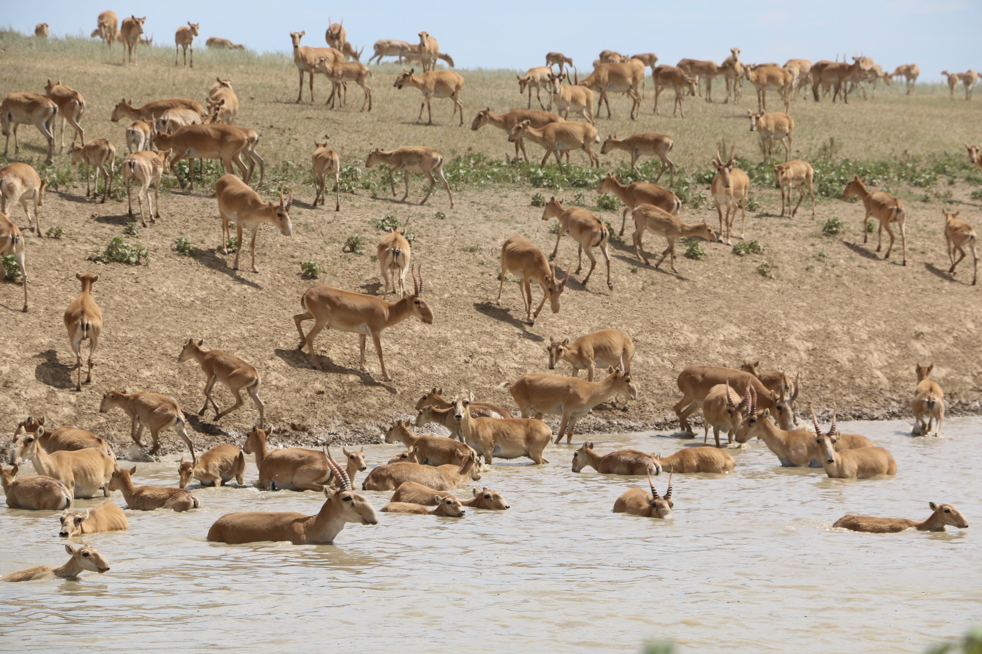
Image: Yakov Fedorov via Wikimedia Commons (CC BY-SA 4.0)
The Altyn Dala Conservation Initiative, led by ACBK, is restoring Kazakhstan's steppe, with the saiga antelope as its flagship (Altyn Dala).
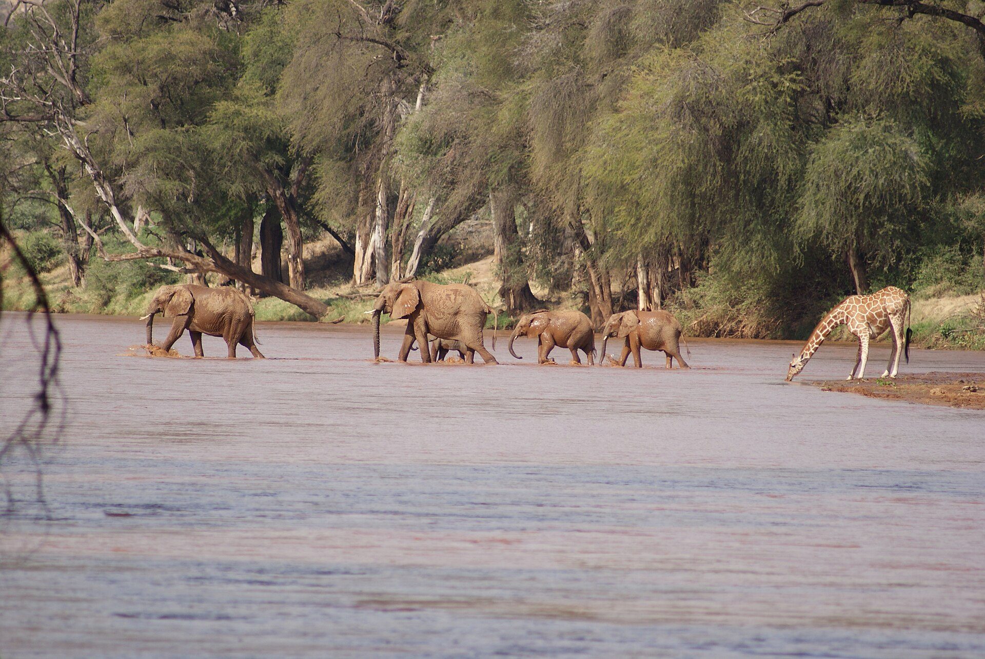
Image: Julian Mason (CC BY 2.0)
✨ New solution
Detailed histories of almost 1,000 Samburu elephants, and an Elephant Crisis Fund that has backed 559 projects in 44 countries.
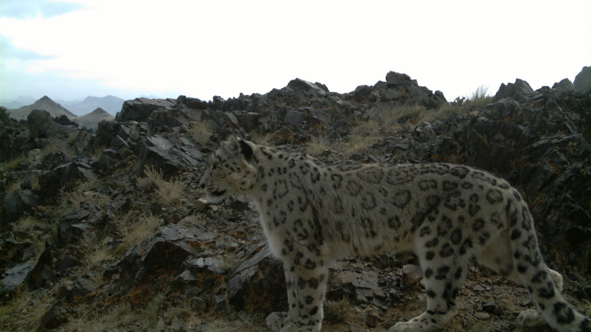
Image: Snow Leopard Trust (CC BY 3.0)
✨ New solution
45 snow leopards GPS-collared in Tost, Mongolia since 2008, and Tost made a national Nature Reserve in 2016.
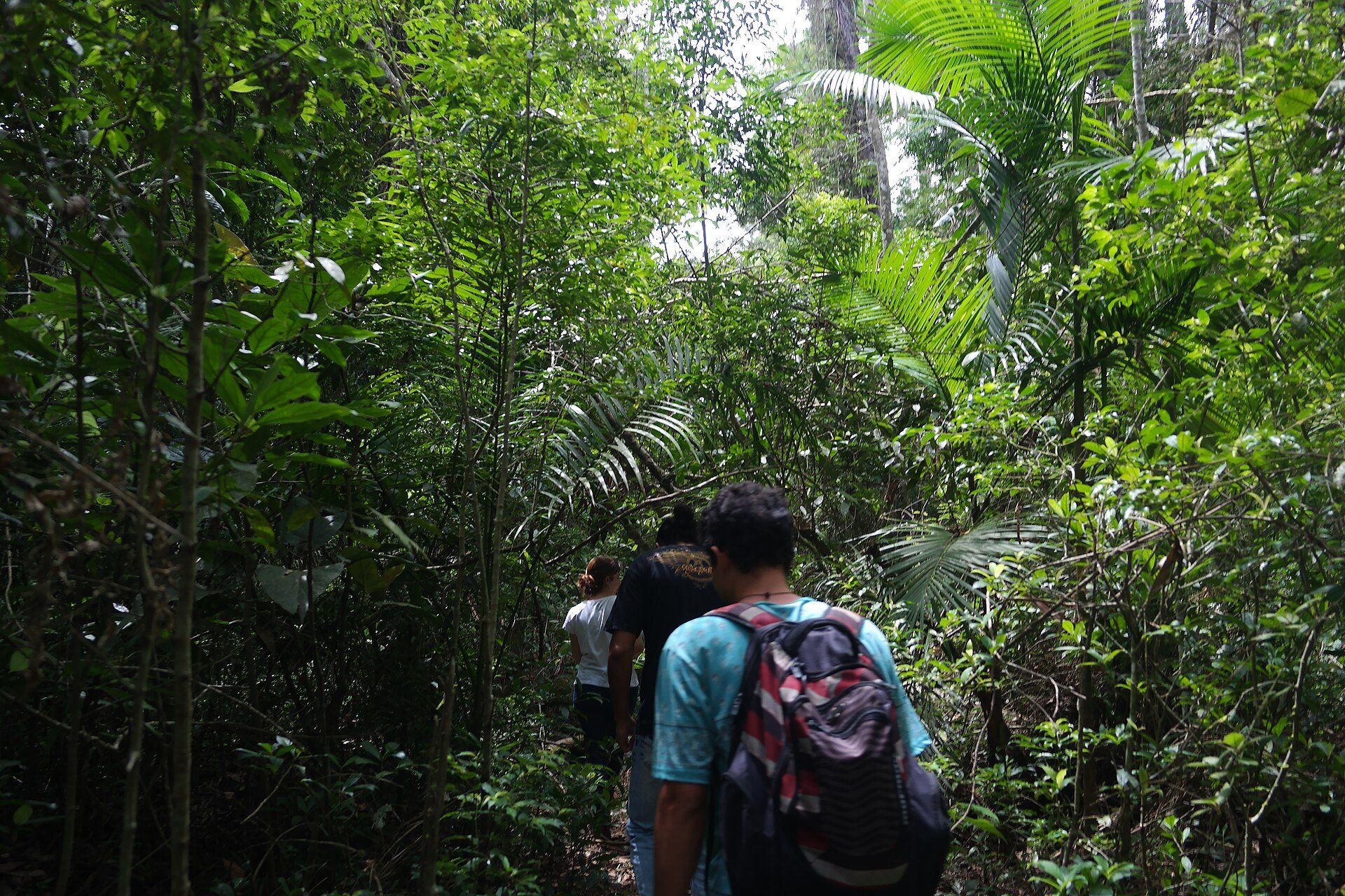
Image: AmbrosimM (CC BY-SA 4.0)
SOS Mata Atlântica and INPE have mapped the Atlantic Forest since 1989. About 12.4% of the original forest is still mature.
Created by the Founder and SI
Terraformation grows native, biodiverse forests from seed to canopy across the tropics and Hawaii, funding seed collection, nurseries, planting and monitoring.
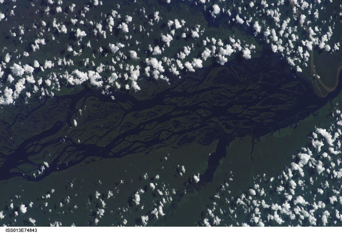
Image: NASA (ISS013-E-74843)
Water breathed out by Amazon trees starts the rainy season two to three months before winds alone would bring it (NASA JPL).
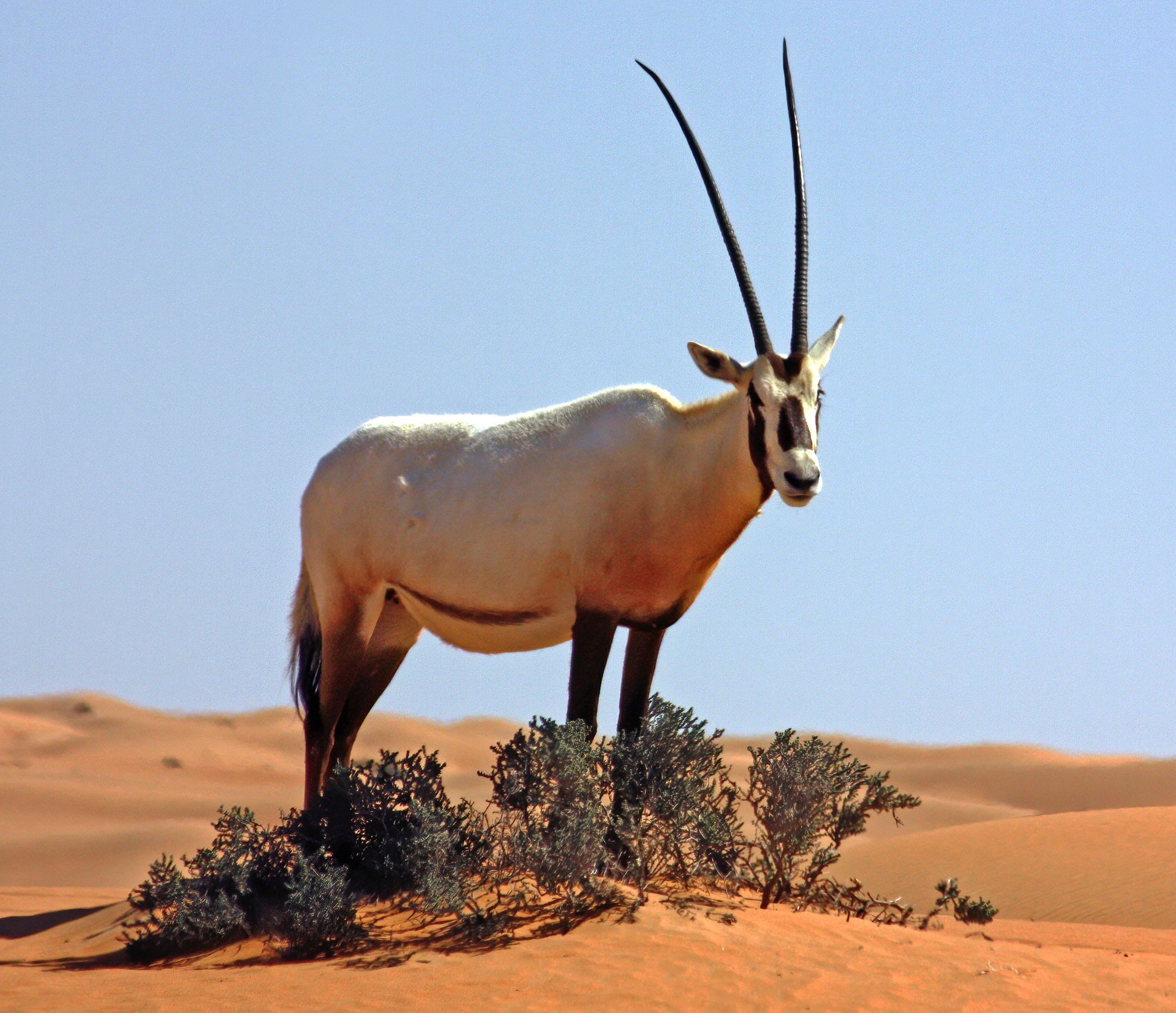
Image: Charles J. Sharp via Wikimedia Commons (CC BY-SA 3.0)
Captive breeding and reintroductions brought the Arabian oryx back, with about 1,000 in the wild by 2011 (IUCN).
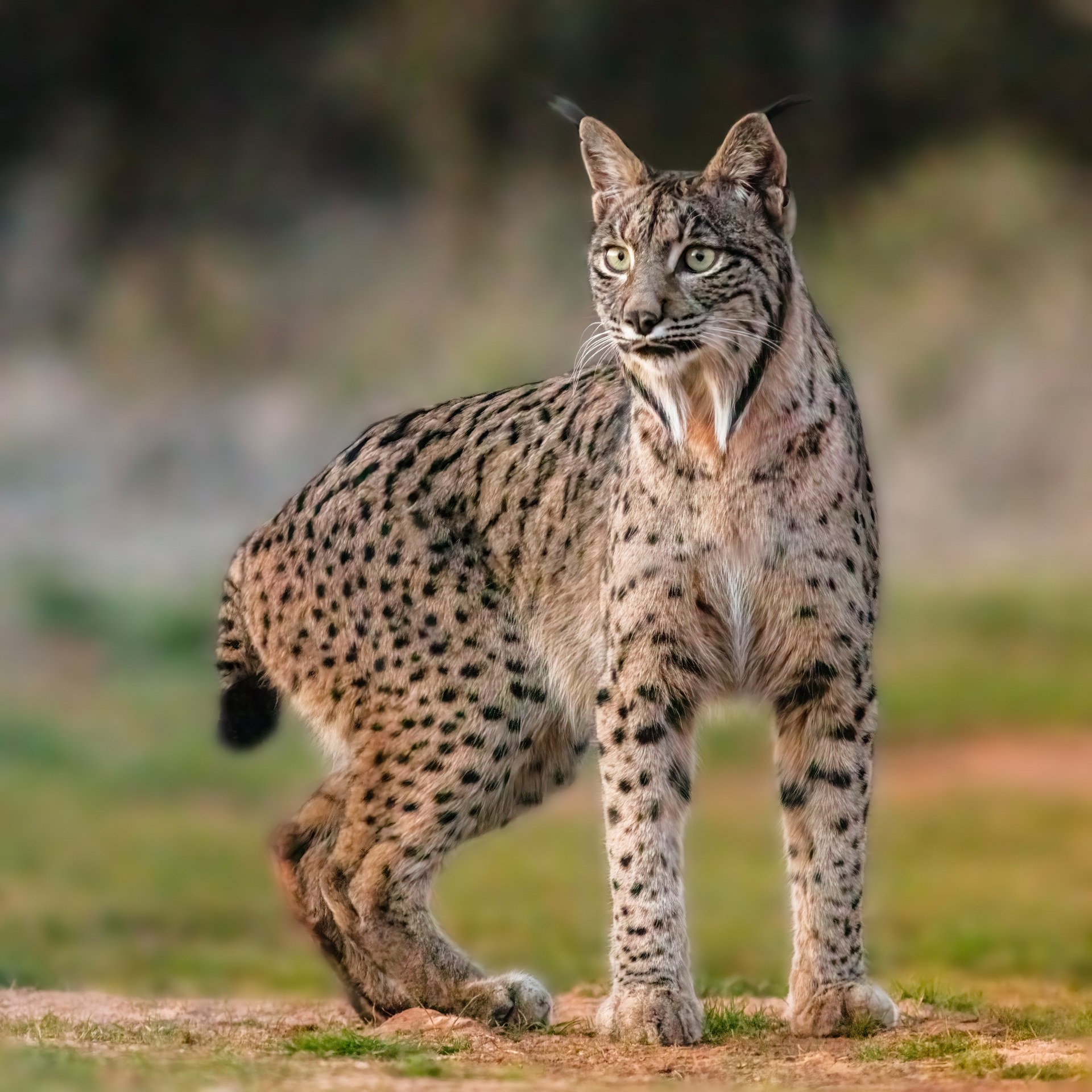
Image: Diego Delso via Wikimedia Commons (CC BY-SA 4.0)
Spain and Portugal brought the Iberian lynx back from the edge: the 2025 census counted 2,663, almost double 2021 (MITECO).
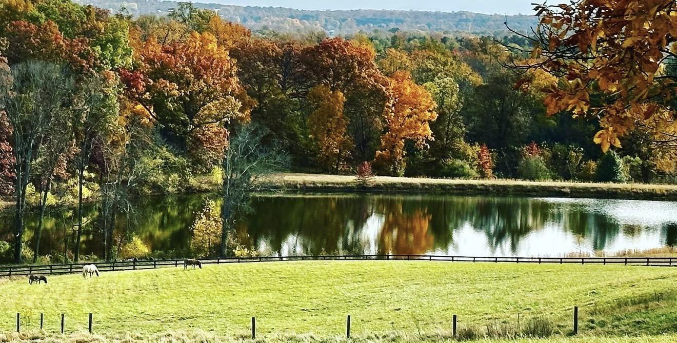
Created by the Founder and SI
Saving Planets' own forest rule: plant three trees for every one removed, so each removal becomes a net gain for habitat, soil and shade, and is easy to verify.
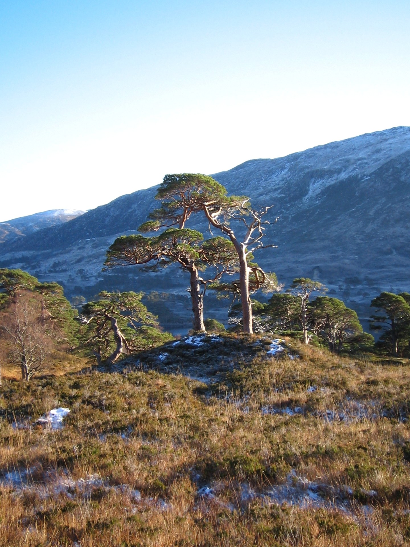
Image: Chris via Wikimedia Commons (CC BY-SA 2.0)
Trees for Life is rewilding the Scottish Highlands, bringing back the Caledonian forest, of which less than 2% survives (Trees for Life).
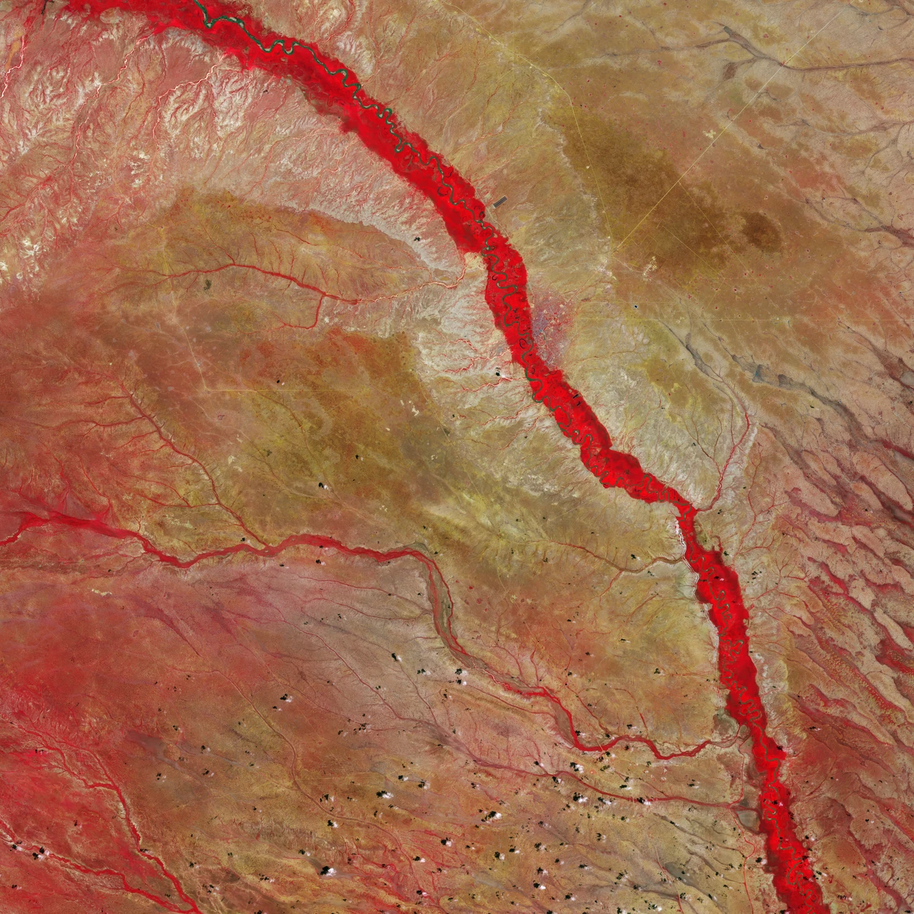
Image: contains modified Copernicus Sentinel data (2020), processed by ESA (CC BY-SA 3.0 IGO)
Partnering with East African farmers on regenerative farms: 450M+ trees grown and 99,000 acres restored (nonprofit figures).
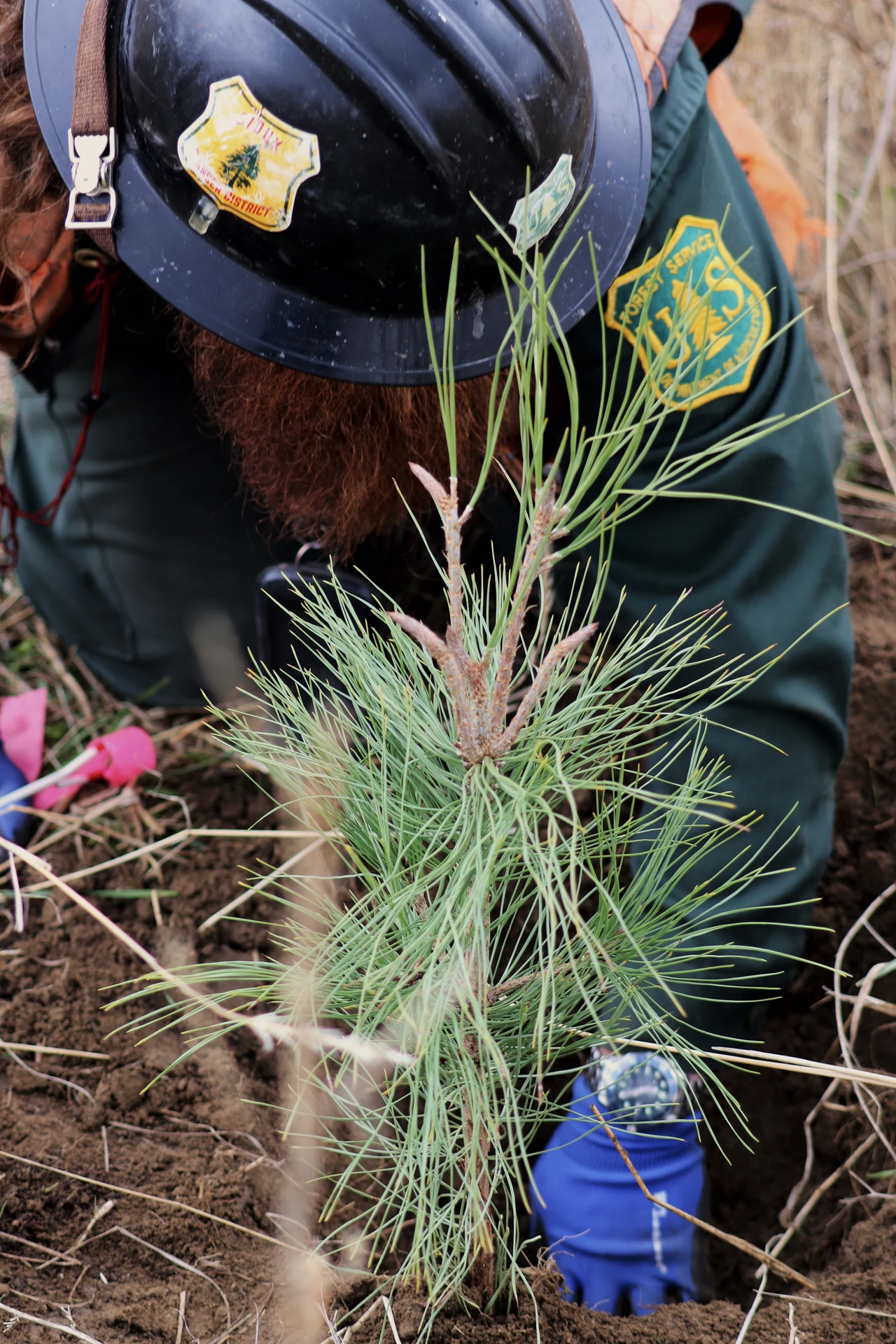
Image: USDA Forest Service (public domain)
WeForest has grown more than 118 million trees and has 100,000 hectares of forest under restoration and conservation (WeForest).
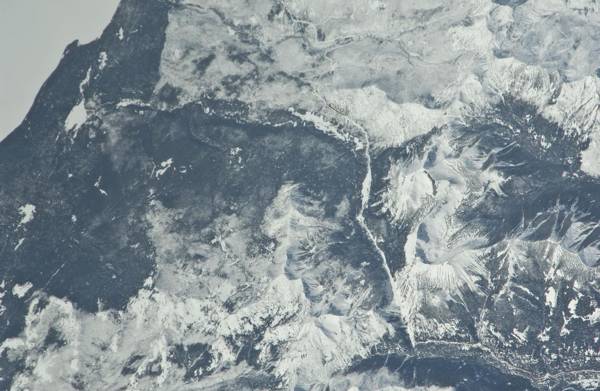
Image: NASA (ISS023-E-007925)
Gray wolves returned to Yellowstone in 1995 after nearly 70 years; in January 2026 at least 84 lived in the park, in eight packs (NPS).
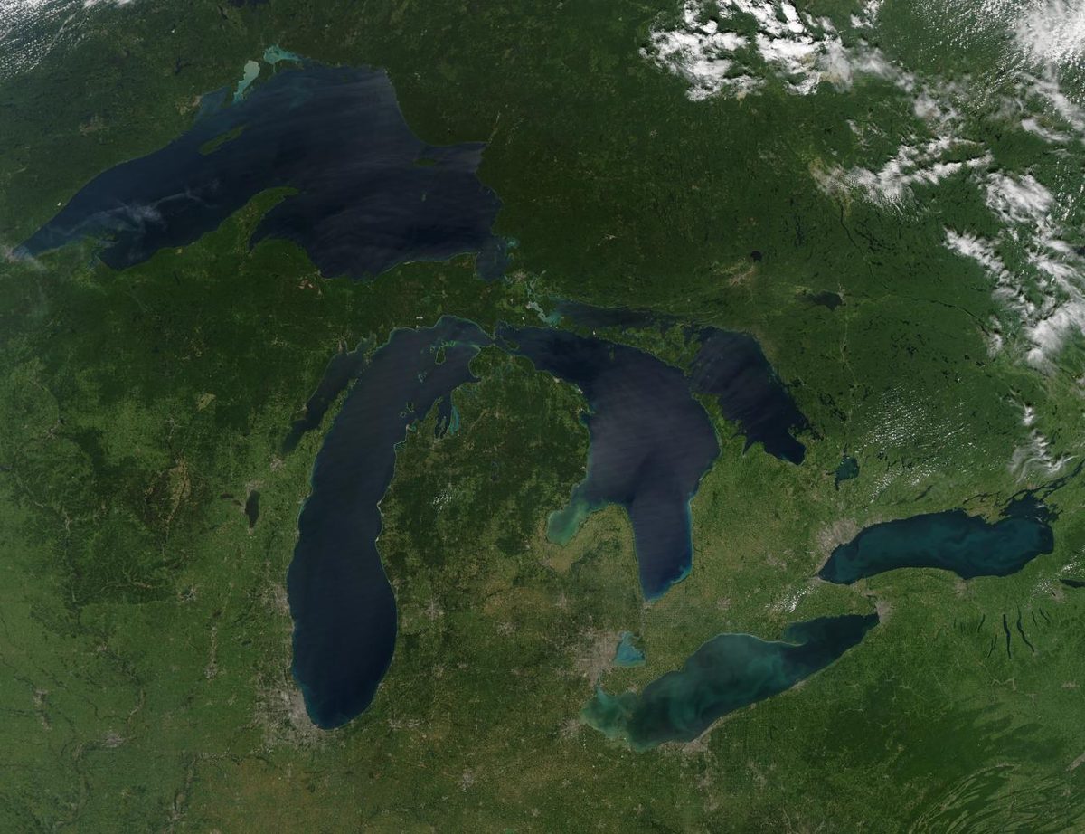
Image: NASA/Goddard
Each year, Adopt-a-Beach volunteers remove tens of thousands of pounds of litter from Great Lakes beaches, about 85% of it plastic.
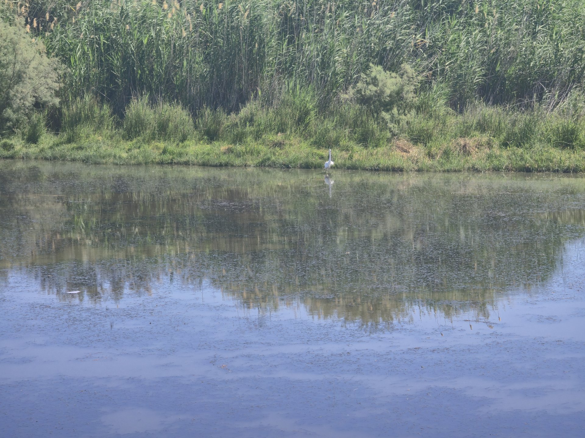
Image: Mohammad hajeer via Wikimedia Commons (CC BY-SA 4.0)
Since 1994, Jordan's Royal Society for the Conservation of Nature has been restoring the Azraq wetland in the eastern desert (RSCN).
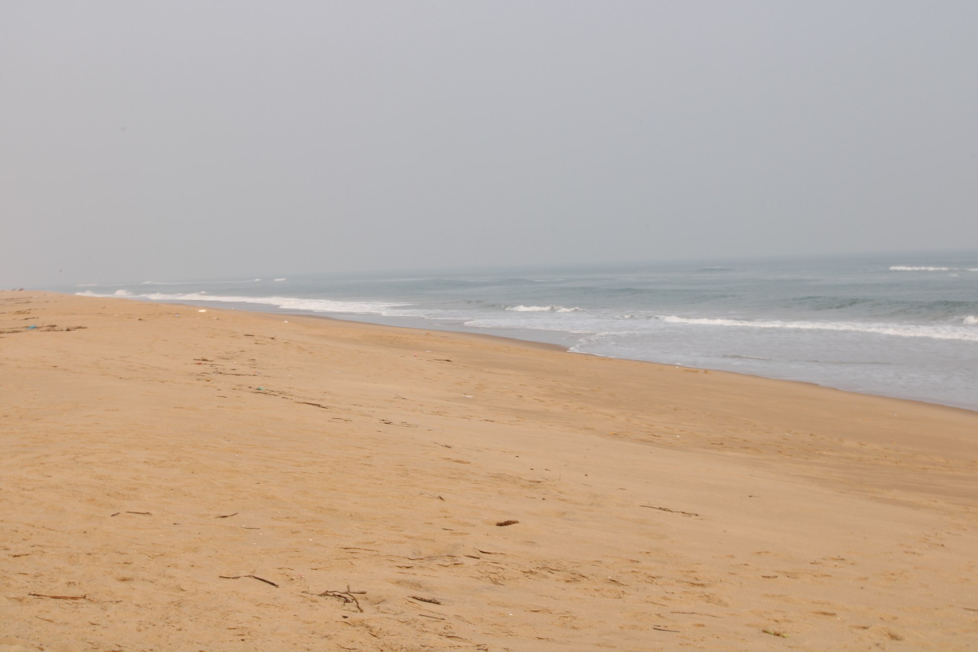
Image: Phadke09 via Wikimedia Commons (CC BY-SA 4.0)
In 2000, the Chilika Development Authority opened a new mouth between India's Chilika Lake and the sea, and the lagoon and its fisheries recovered (CDA).
Clean Lakes Alliance works to improve water quality in Madison's Yahara lakes; it reports 81 monitoring stations and over $1.4 million in grants (its figures).
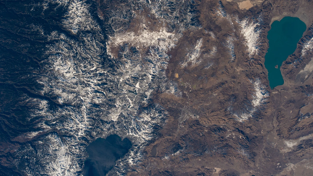
Image: NASA (iss064e015104)
Clean Up the Lake removes submerged litter from freshwater lakes using scuba divers and volunteers, and GPS-pins, sorts and weighs every piece it finds.
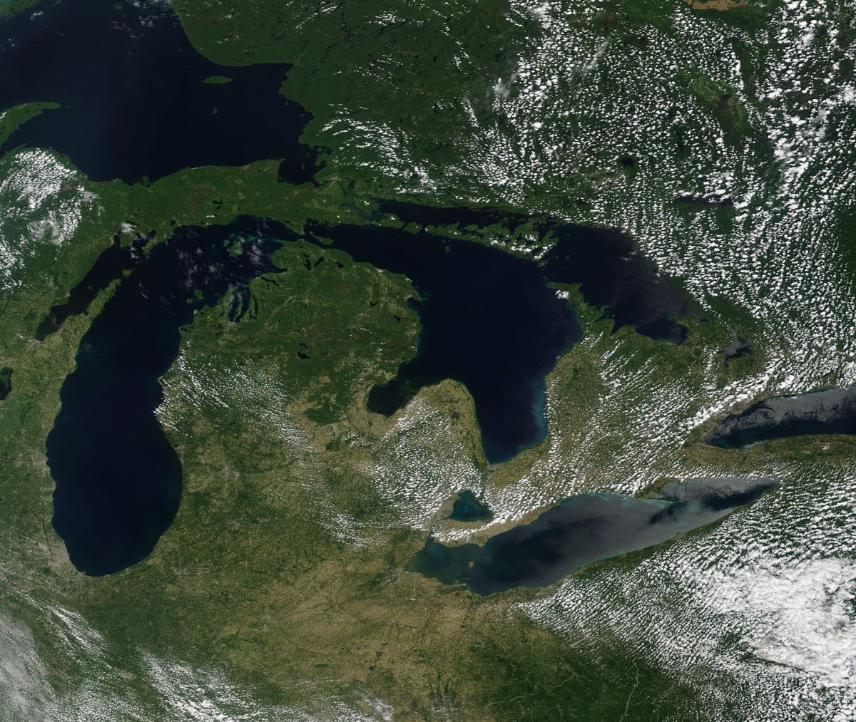
Image: NASA (ISS074-E-0642367)
The Great Lakes Plastic Cleanup captures plastic across the world's largest freshwater system using Seabins, drones, and beach robots.
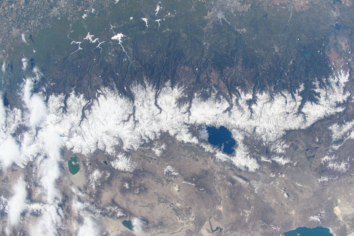
Image: NASA (ISS071-E-14284)
Keep Tahoe Blue, the League to Save Lake Tahoe, has protected the lake for decades, and its volunteers picked up 1,330 pounds of litter after July 4, 2026.
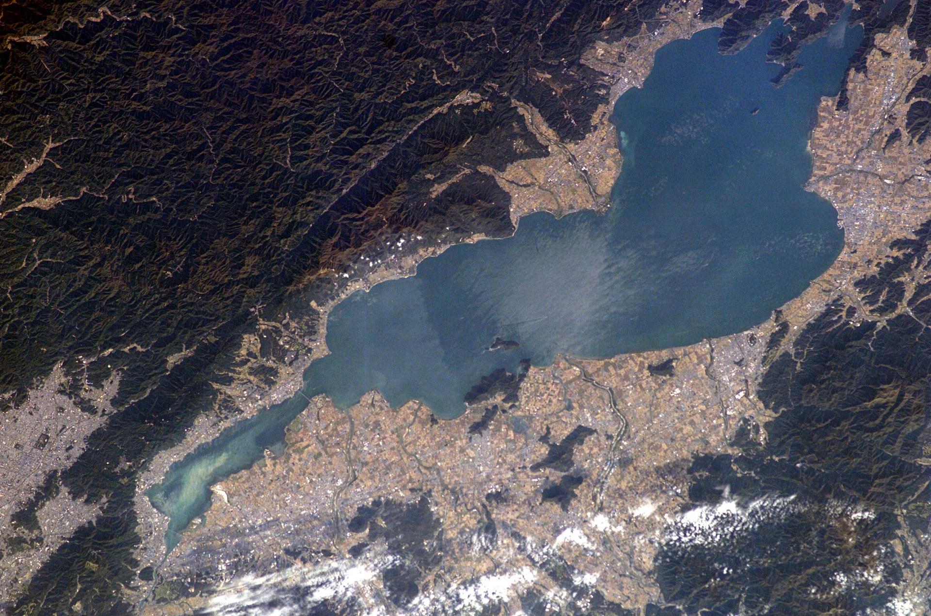
Image: NASA (ISS007-E-17620)
After a red tide in 1977, Shiga residents switched to soap, and in 1980 the prefecture limited phosphorus to protect Lake Biwa (Shiga Prefecture).
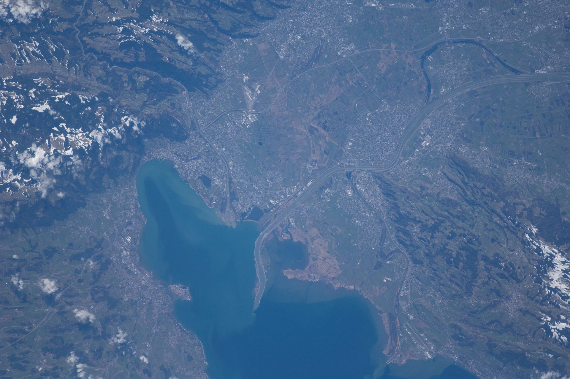
Image: NASA (ISS030-E-161620)
Treatment plants that remove phosphorus brought Lake Constance back to the clear state typical of Alpine lakes (International Commission for the.
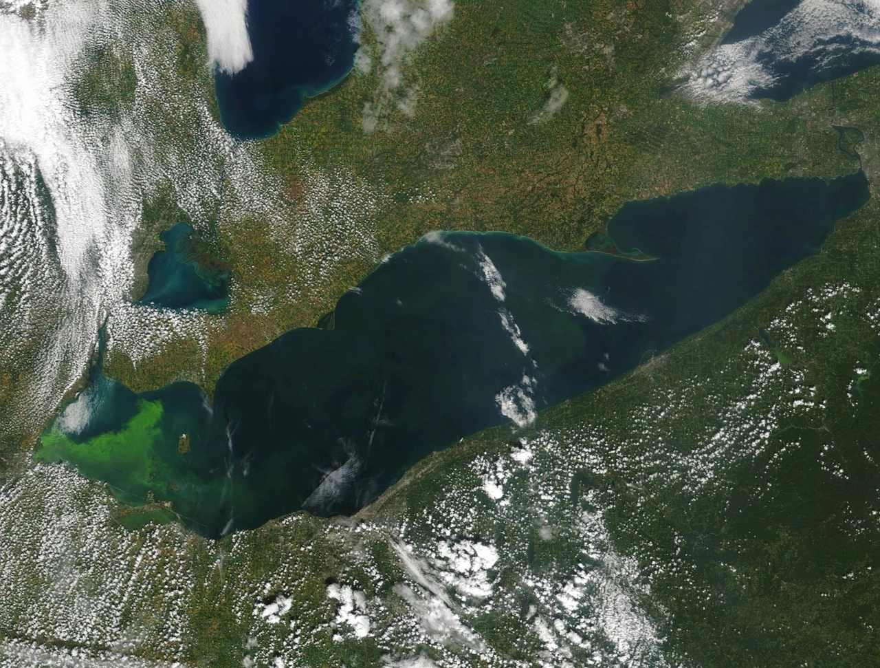
Image: NOAA Great Lakes Environmental Research Laboratory (public domain)
NOAA forecasts and tracks toxic algae in western Lake Erie through the summer so cities and swimmers can keep drinking water and people safe (NOAA NCCOS).
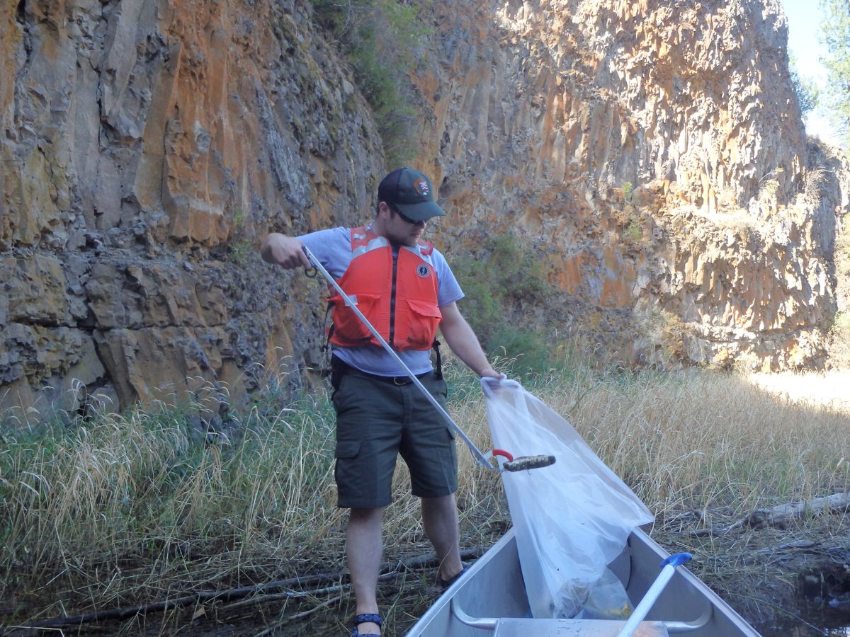
Image: NASA/Bill White (KSC-20170412-PH_SWW01_0081)
Saving Planets' own lake solution: recover plastic from freshwater lakes by skimming, shoreline collection and divers, before it travels downstream to the sea.
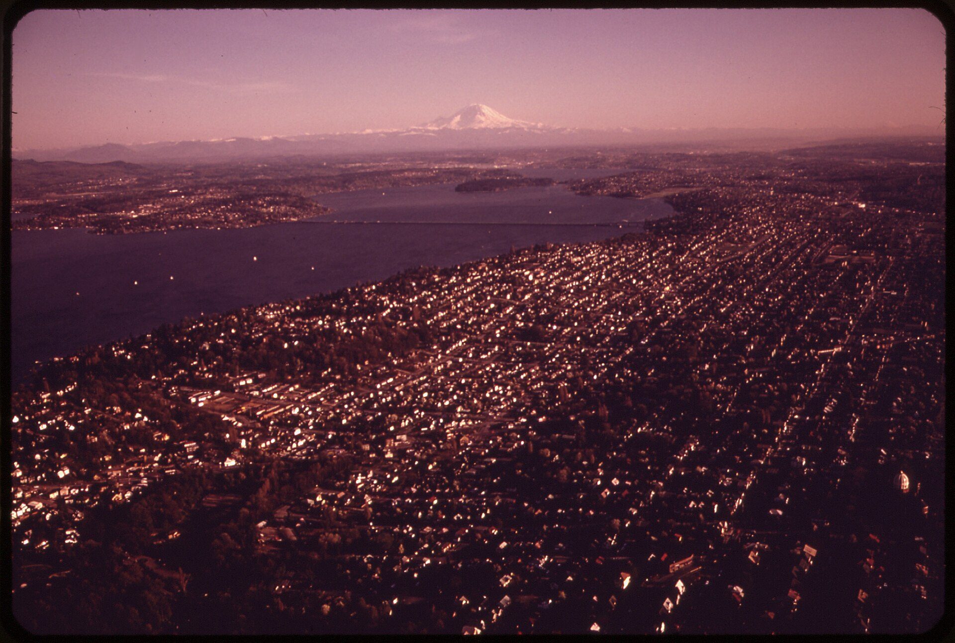
Image: Doug Wilson, U.S. National Archives (public domain)
✨ New solution
Sewage stopped flowing into the lake in February 1968. Clarity went from 30 inches in 1964 to nearly 25 feet in 1993.
Since 1998, the Global Nature Fund's Living Lakes Network has protected and restored lakes and wetlands with 130 member organizations in more than 60 countries.
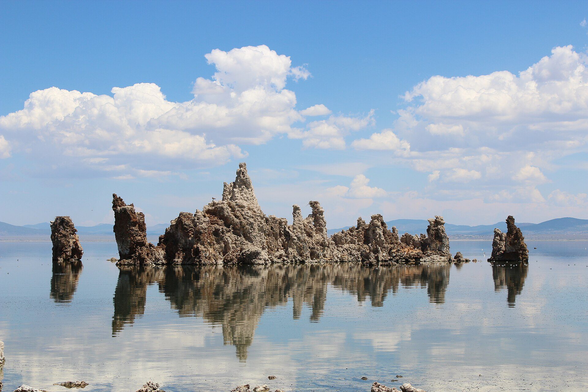
Image: Vezoy (CC BY-SA 3.0)
Decision 1631 set a protected level of 6,392 feet for Mono Lake after diversions dropped the lake 45 feet.
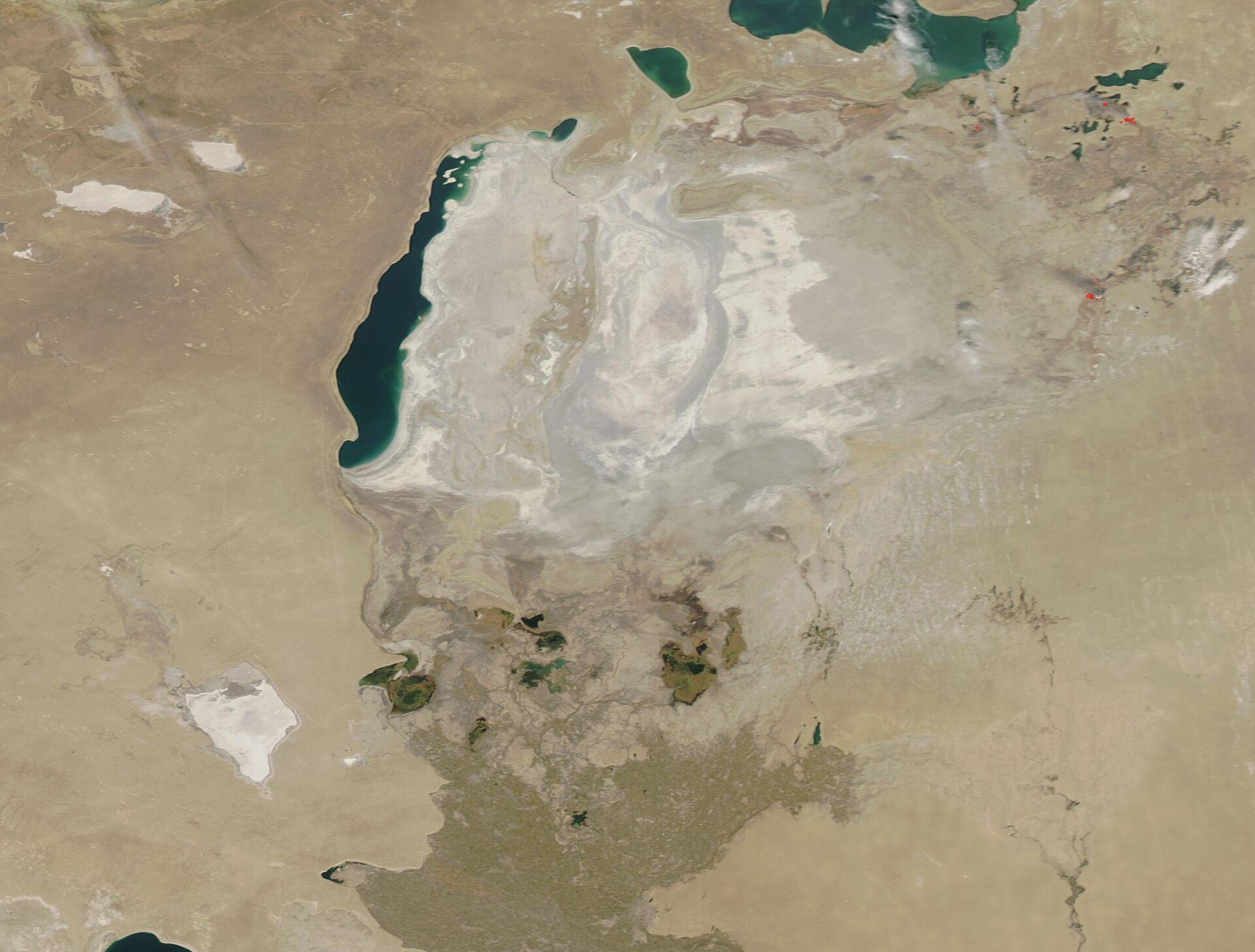
Image: NASA GSFC MODIS
A 13 km dike finished in August 2005 refilled the North Aral Sea to its design level in two years, and fish catches rose from 52 tons to 2,000 tons.
A Nevada nonprofit whose ROVs and volunteer divers pull submerged trash from Lake Tahoe, from the surface down to 1,640 feet: over 13 tons in summer 2024 alone.
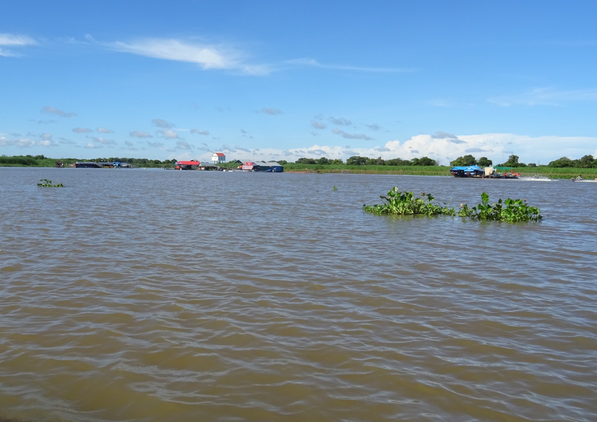
Image: Christophe95 via Wikimedia Commons (CC BY-SA 4.0)
Tonle Sap, the largest freshwater lake in Southeast Asia, is a UNESCO biosphere reserve whose flooded forests shelter villages and fish (UNESCO).

Created by the Founder and SI
4ocean removes plastic from oceans, rivers, and coastlines with full-time cleanup crews, funded by products made from recovered plastic.
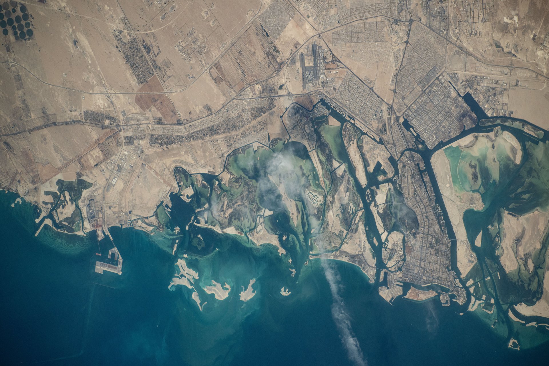
Image: NASA (iss071e378611)
The Environment Agency – Abu Dhabi tracks more than 18.5 million mangroves planted across over 1,775 hectares with its new Mangrove Observatory.
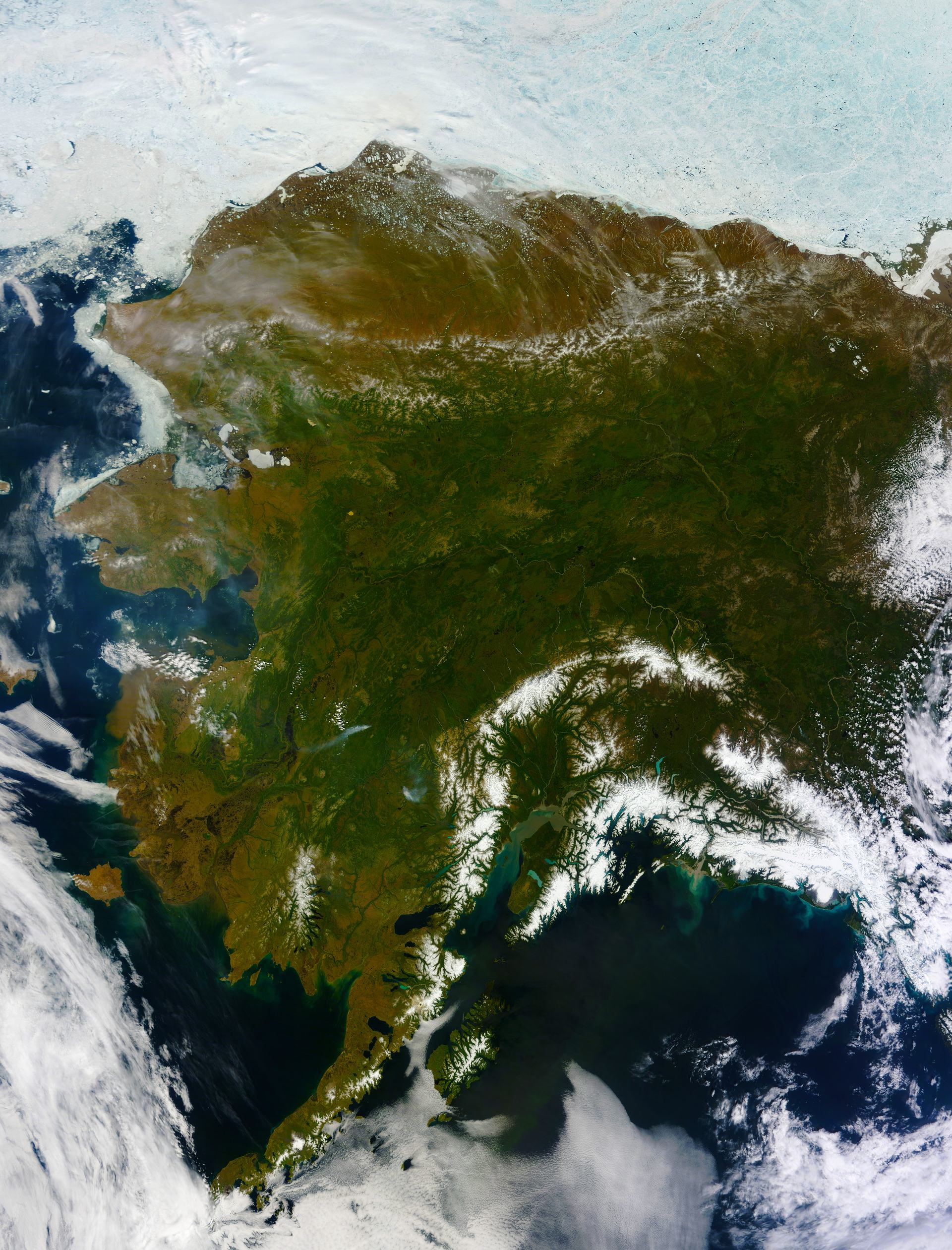
Image: NASA (GSFC_20171208_Archive_e001460)
More than 20 kelp farms grow ribbon, giant, bull and sugar kelp in Alaska's cold, nutrient-rich waters (Alaska Mariculture Alliance).
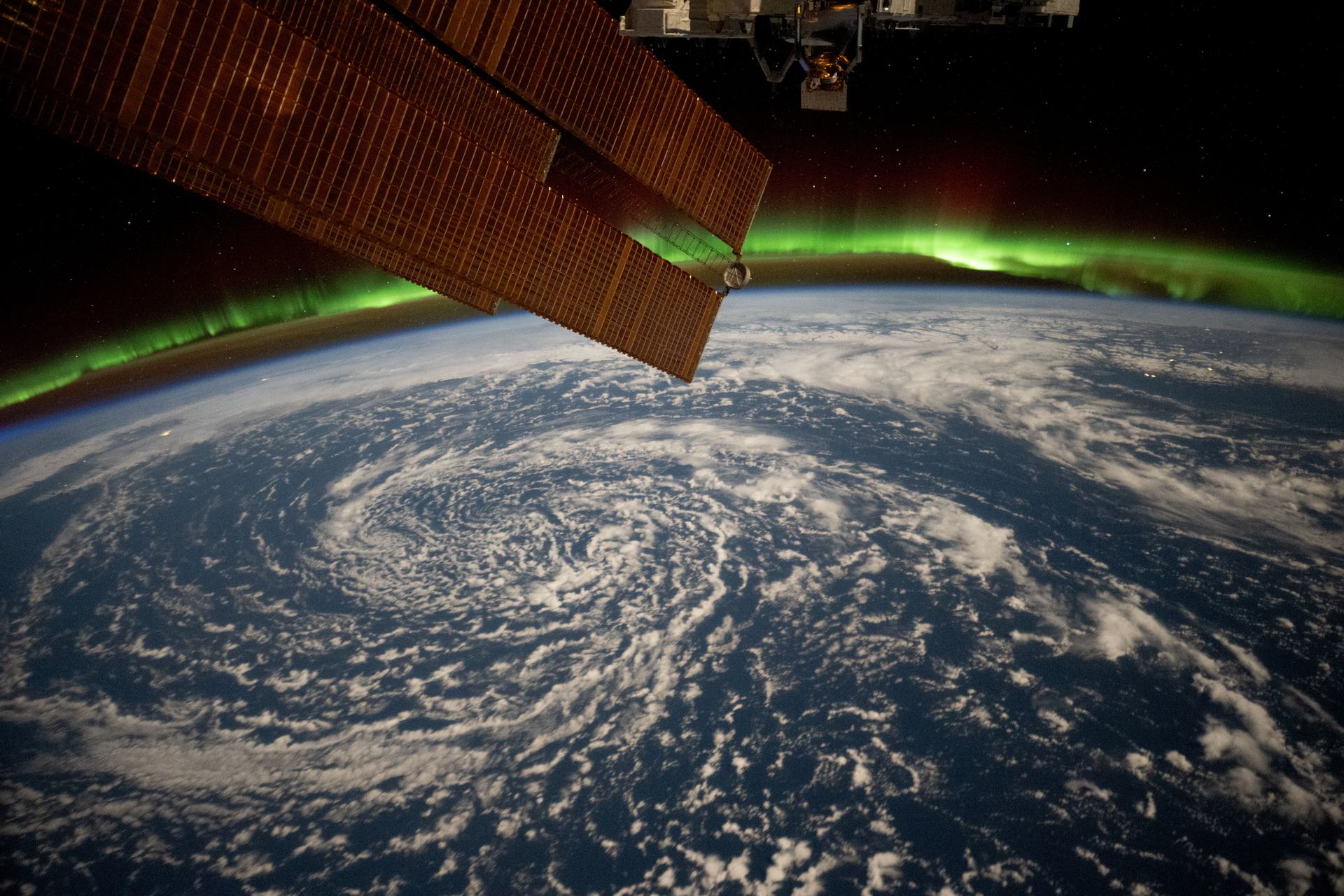
Image: NASA (iss072e820937)
The Alaska SeaLife Center in Seward is a nonprofit aquarium and research center that rescues stranded marine animals and studies Alaska's marine ecosystems.
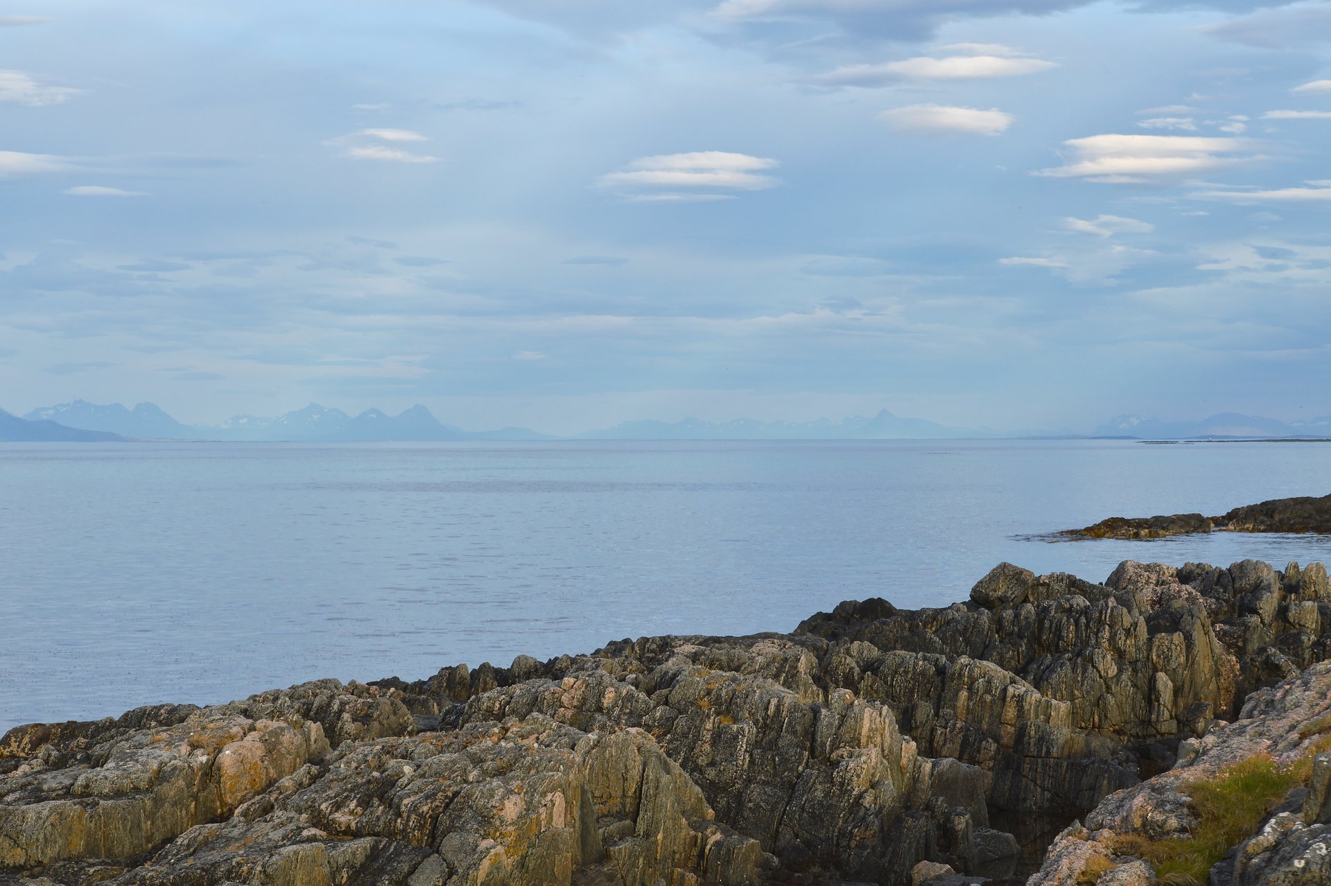
Image: Ryan Hodnett via Wikimedia Commons (CC BY-SA 4.0)
On 18 September 2026, Norway's government created the Andfjorden Marine Protected Area across Andøy, Harstad and Senja (Norwegian government).
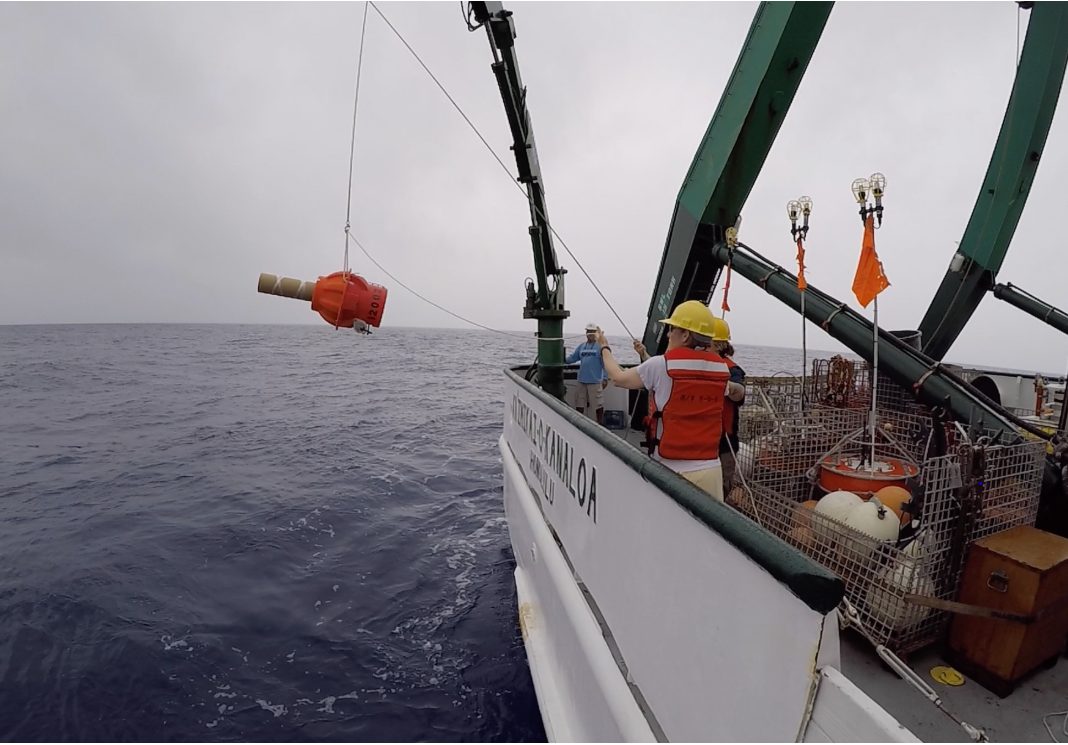
Image: NOAA
Close to 4,000 robotic floats dive through the ocean and send back temperature and salinity data, free to everyone. The 3 millionth profile came in 2024.
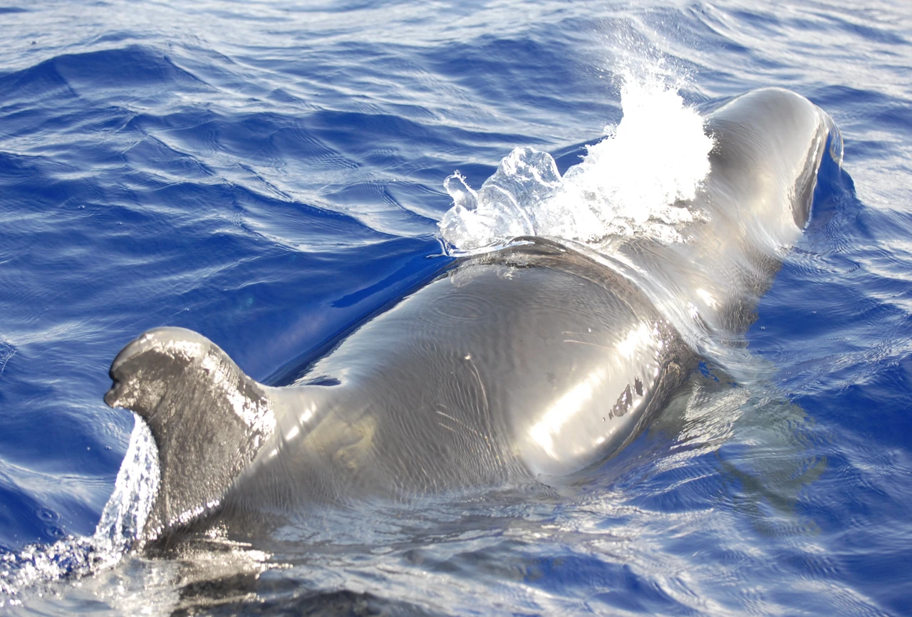
Image: Adam U / NOAA/NMFS/Pacific Islands Fisheries Science Center (public domain)
A satellite system that tracks wildlife and ocean instruments from tiny transmitters, following more than 8,000 animals every month for conservation science.
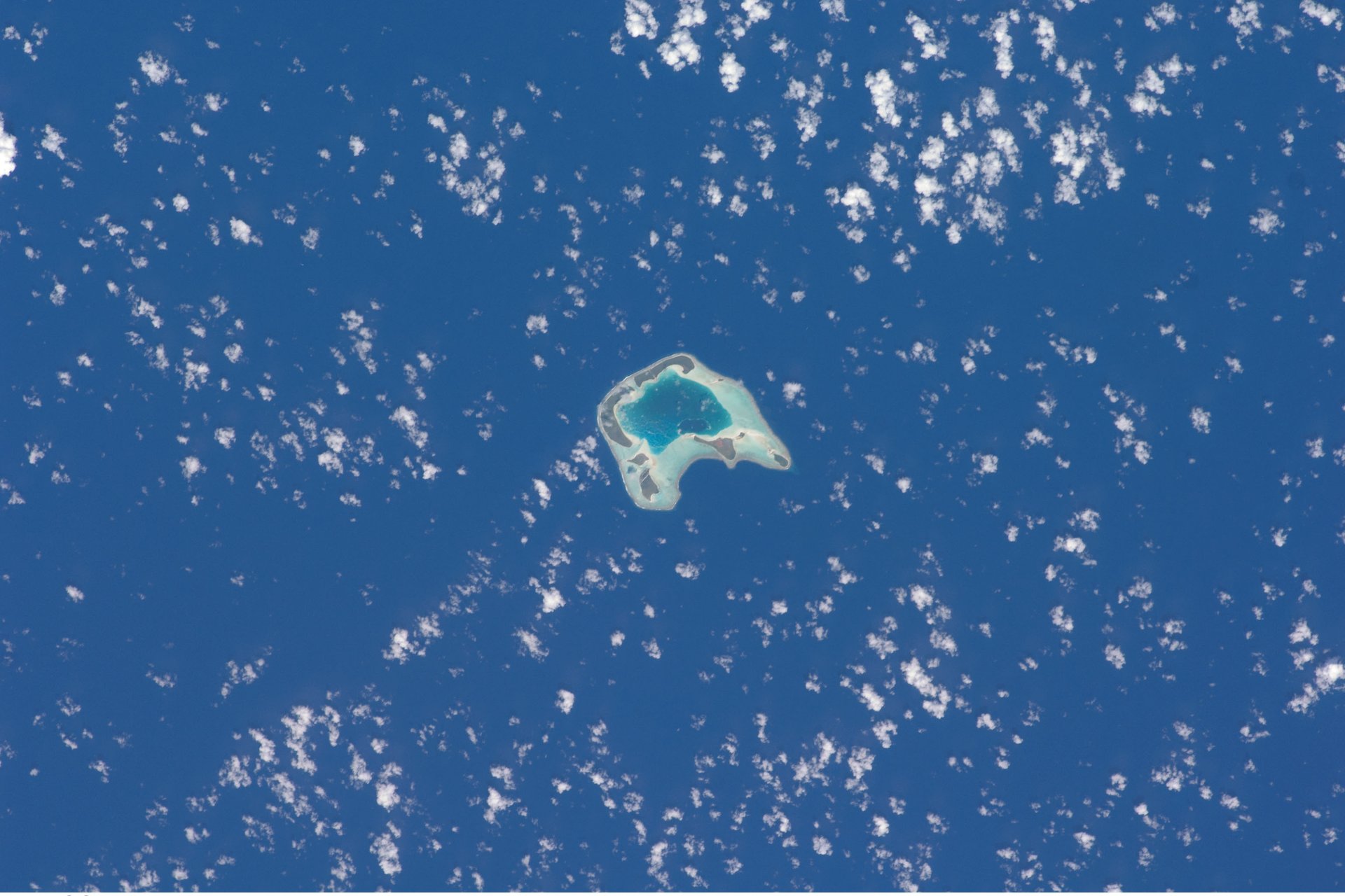
Image: NASA Johnson Space Center, ISS crew photo ISS018-E-024351
A 2026 study of 28 atoll islands found that removing rats and restoring native plants boosts the seabirds, reefs and sand that help atolls keep up with rising seas.
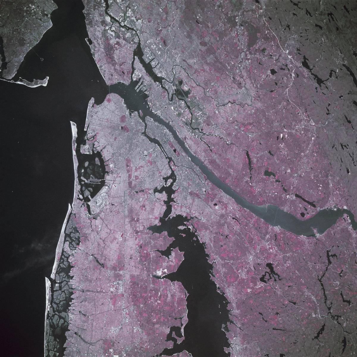
Image: NASA (STS039-88-054)
A New York nonprofit restoring the harbor with oyster reefs, aiming for one billion oysters by 2030 (nonprofit figures).
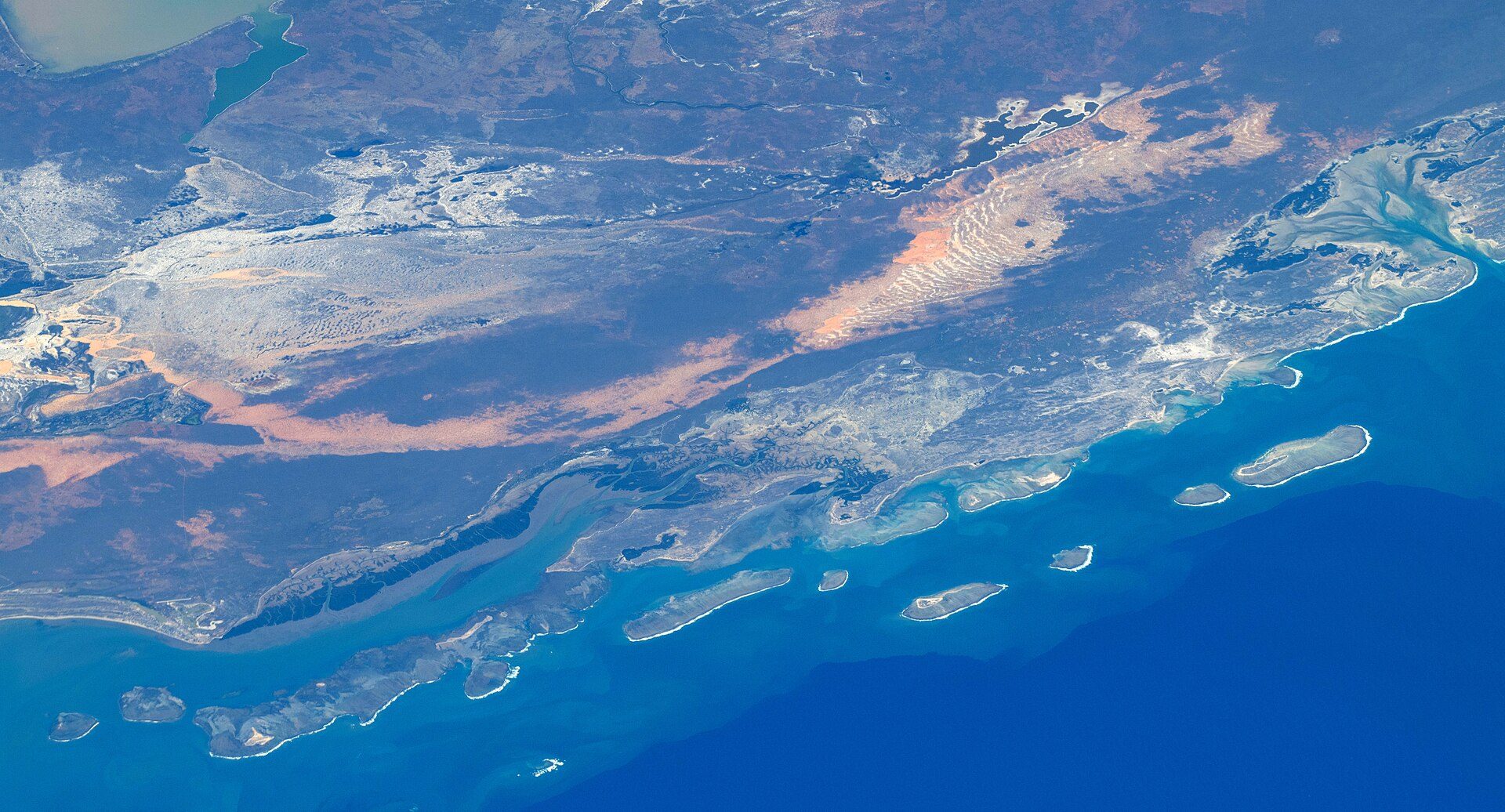
Image: NASA (ISS075-E-85199)
Since 2004, temporary octopus closures at Andavadoaka, Madagascar, have been copied more than 300 times.
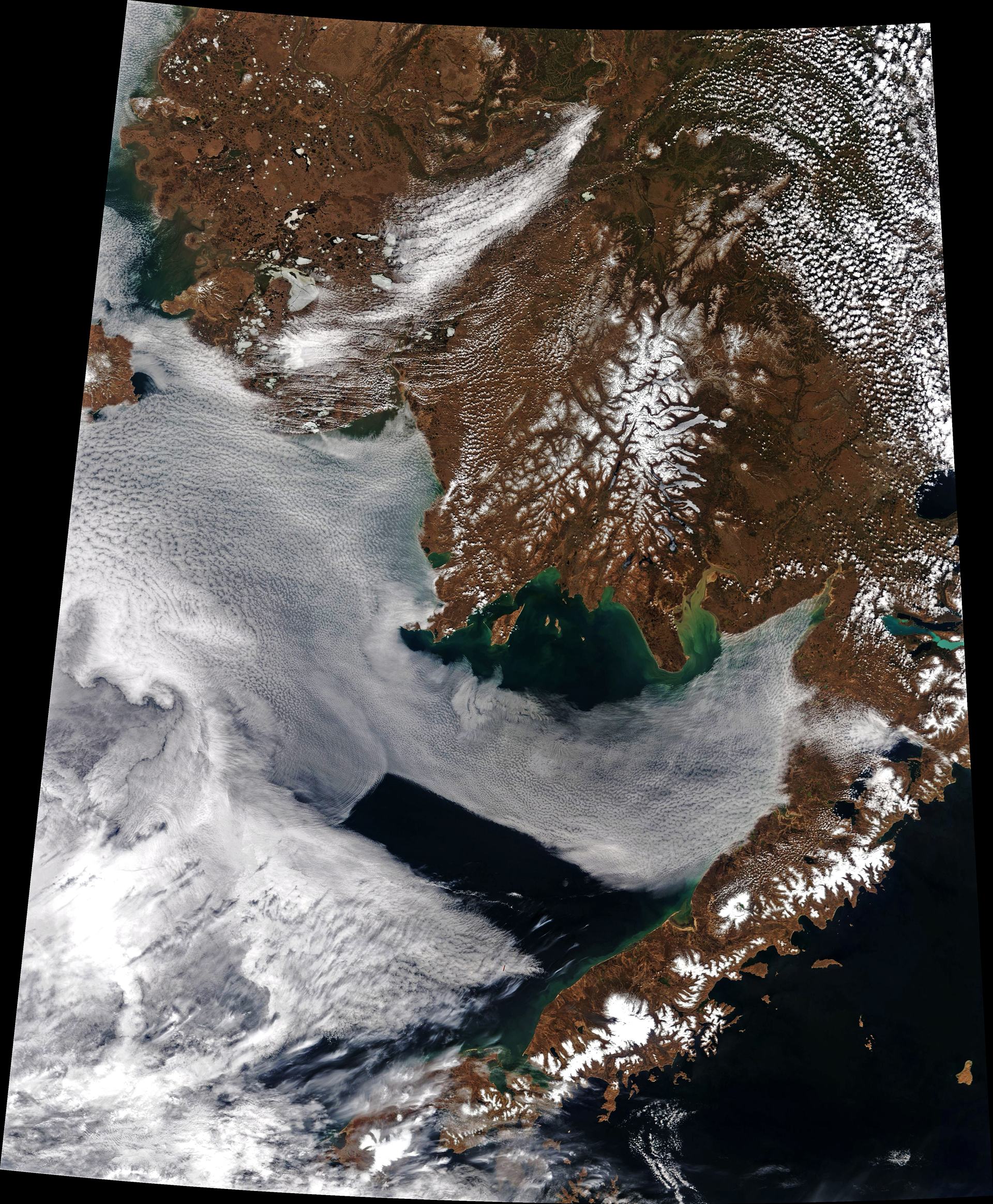
Image: NASA Earth Observatory image by Joshua Stevens, using MODIS data from LANCE/EOSDIS Rapid Response
In January 2023, the U.S. EPA used Clean Water Act section 404(c) to limit mine waste disposal in Bristol Bay headwaters near the Pebble deposit.
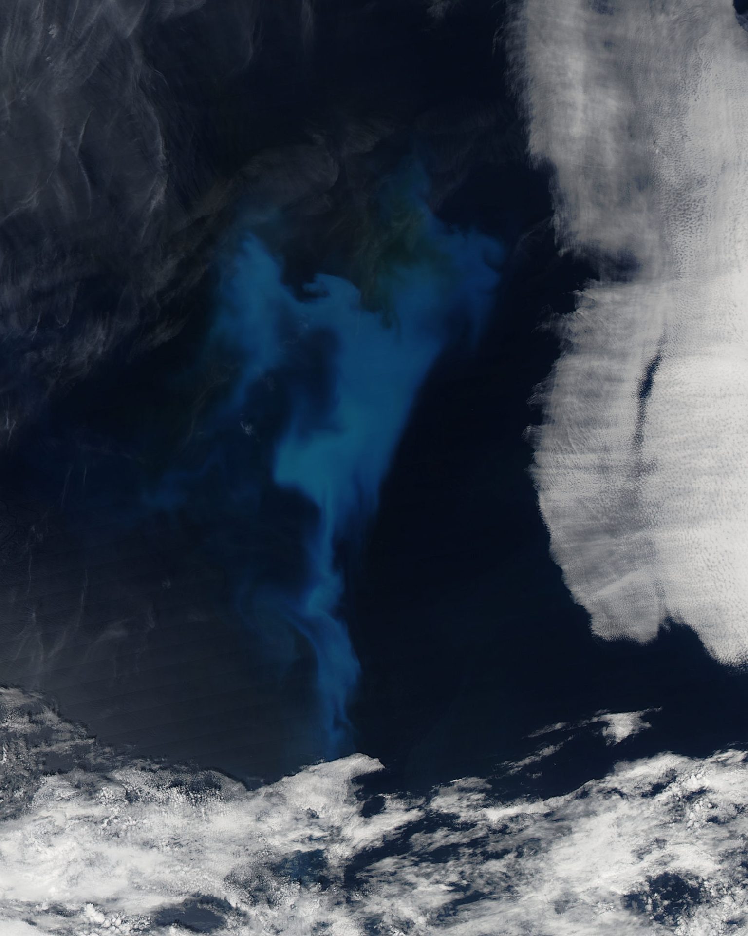
Image: NASA/GSFC/Jeff Schmaltz/MODIS Land Rapid Response Team
Free, open ocean data and forecasts for the whole planet. In 2025 users downloaded almost 15,000 terabytes of ocean data from Copernicus Marine.
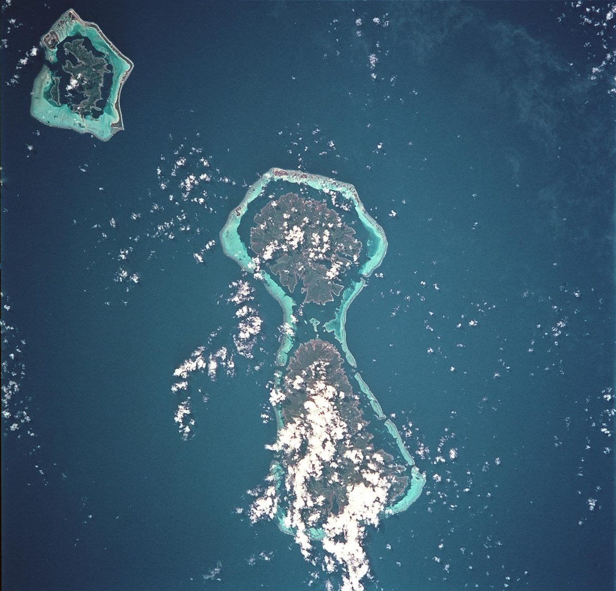
Image: NASA (STS093-717-066)
Coral Gardeners grows corals in nurseries and replants them on reefs in French Polynesia, Fiji and Thailand: 238,250 corals planted so far.
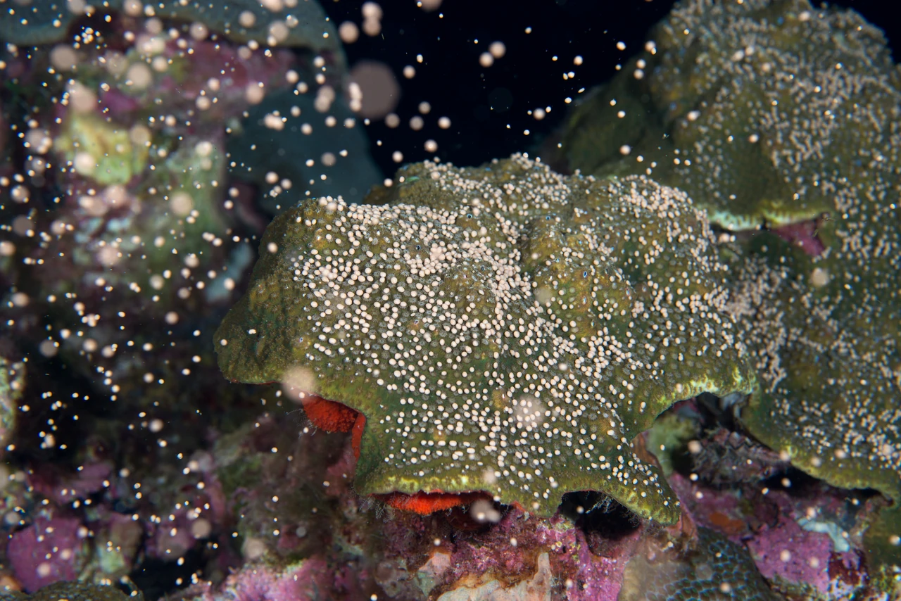
Image: G.P. Schmahl/NOAA (public domain)
Researchers capture coral spawn and rear millions of baby corals for damaged reefs; the first Coral IVF corals reproduced on the Great Barrier Reef in 2021.
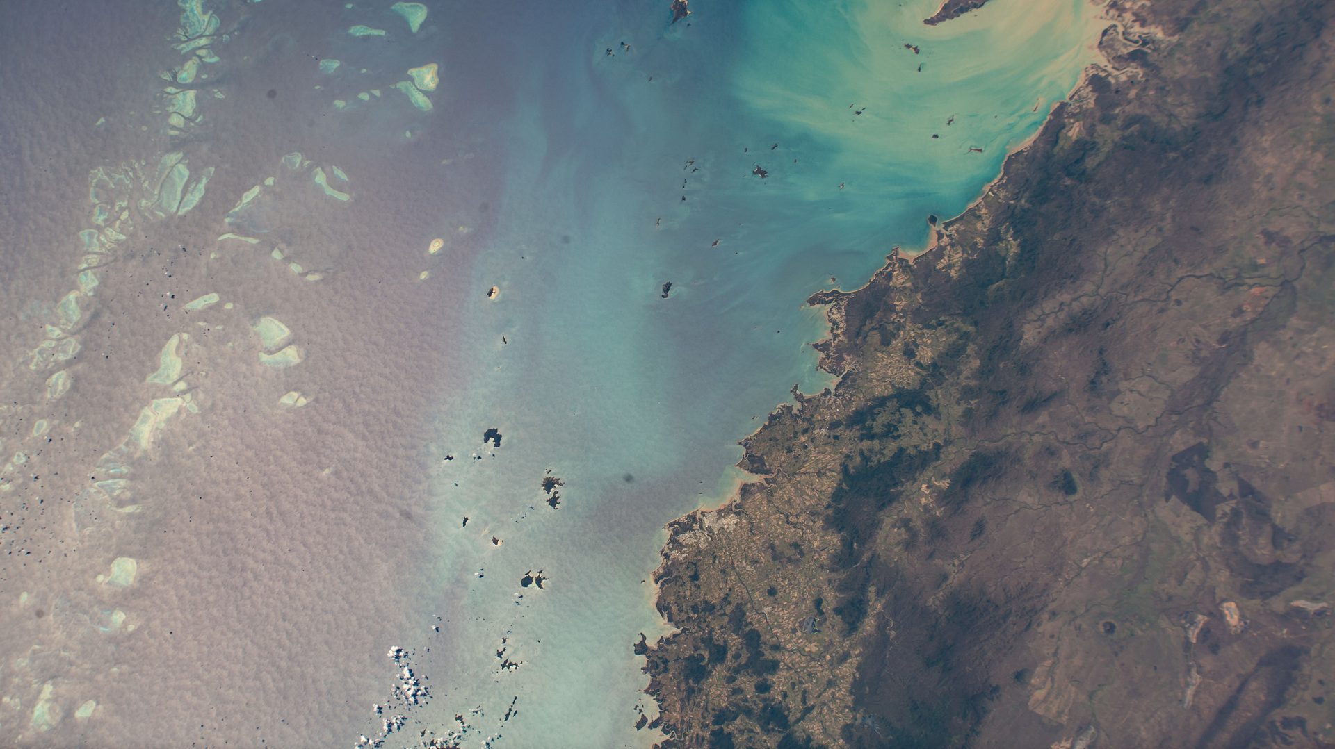
Image: NASA (ISS068-E-004262)
NOAA's Coral Reef Watch uses satellites to warn of the ocean heat that bleaches corals, with daily monitoring of 95% of the world's coral reefs.
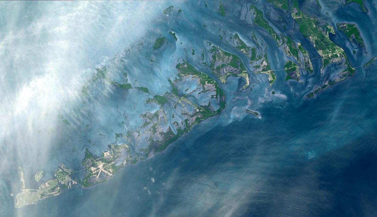
Image: NASA/GSFC/METI/ERSDAC/JAROS and U.S./Japan ASTER Science Team (PIA03890)
Coral Restoration Foundation had returned 253,833 corals to Florida's reefs by the end of 2024 (organization figure).
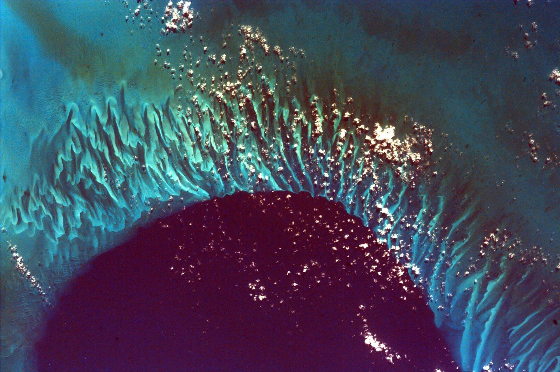
Image: NASA/JPL/UCSD/JSC (PIA11019)
Coral Vita grows reef-building corals on land up to 50 times faster than in nature, and says it has grown over 100,000 corals (company figures).
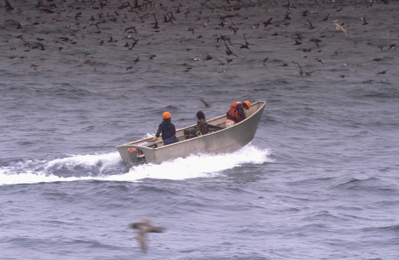
Image: Alaska Fisheries Science Center, Marine Observer Program (public domain)
Global Fishing Watch uses satellites and SI to map fishing; its 2024 Nature study found about 75% of industrial fishing vessels are not publicly tracked.
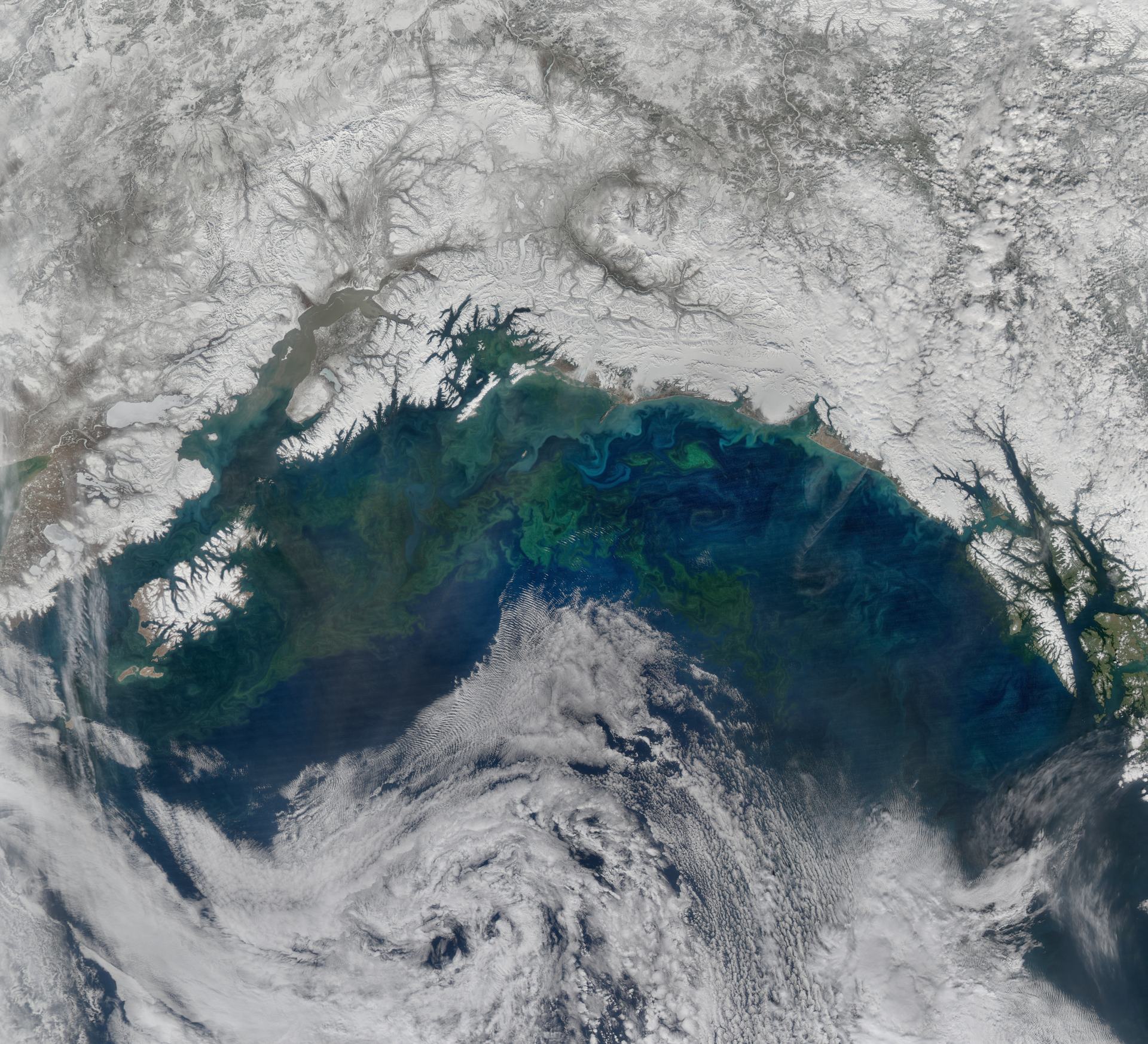
Image: NASA/Goddard/NPP (GSFC_20171208_Archive_e000038)
Gulf of Alaska Keeper (GoAK) is a nonprofit that removes marine debris from the remote shores of Prince William Sound and the northern Gulf of Alaska (GoAK).
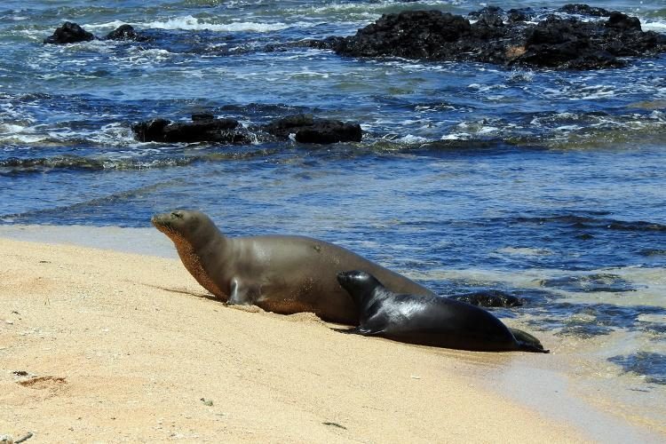
Image: NOAA Fisheries PIFSC
NOAA Fisheries estimates about 1,600 Hawaiian monk seals, and up to 30 percent of those alive today are alive because of direct recovery work.
Since 1985, Heal the Bay has worked to make the coastal waters and watersheds of Greater Los Angeles safe, healthy and clean (Heal the Bay).
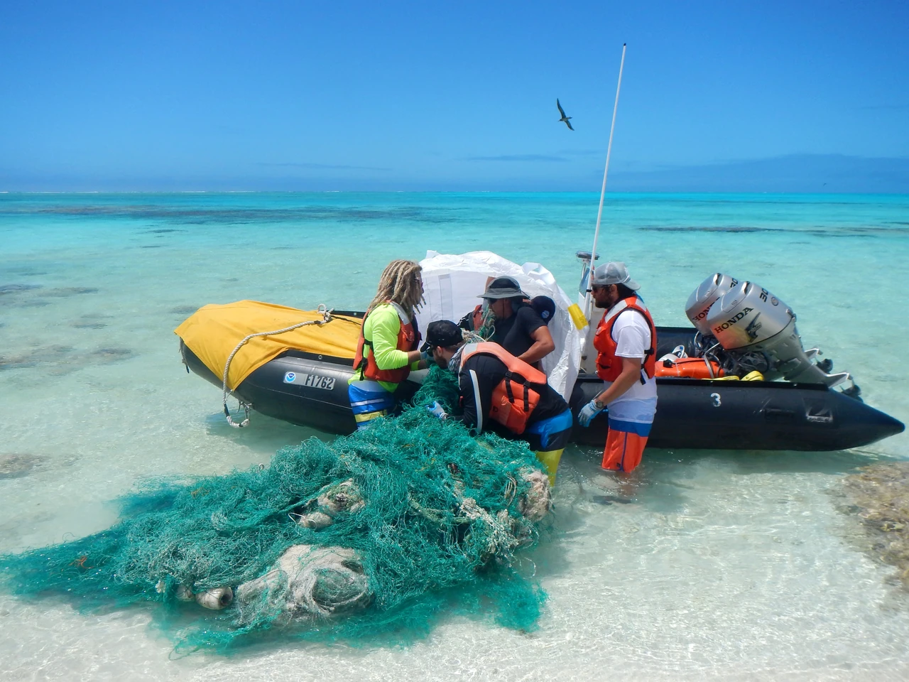
Image: NOAA (public domain)
Volunteer divers recover ghost nets: Healthy Seas reports 1,309.1 tons of nets and marine litter removed since 2013 (Healthy Seas figure).
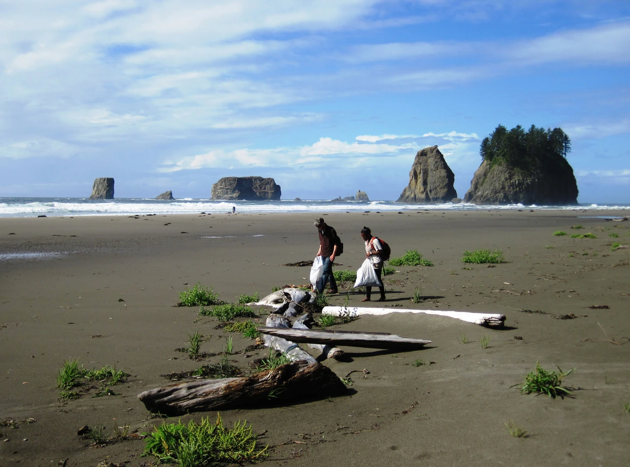
Image: Karlyn Langjahr/NOAA (public domain)
Since 1986, more than 19 million volunteers have collected more than 400 million pounds of trash from beaches and waterways (Ocean Conservancy).
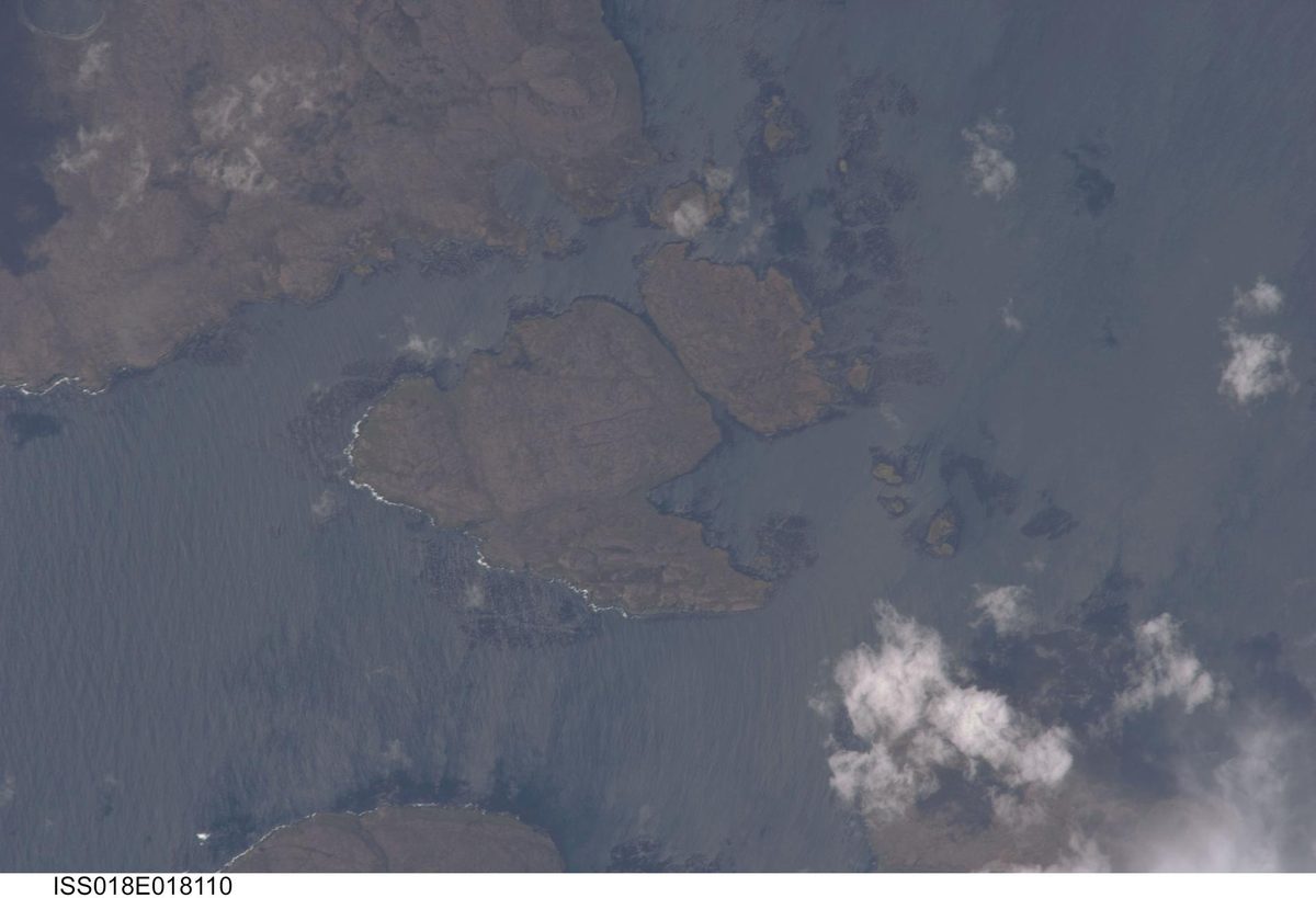
Image: NASA (ISS018-E-018110)
Kelp can grow up to 18 inches a day, building underwater forests that feed and shelter thousands of species.
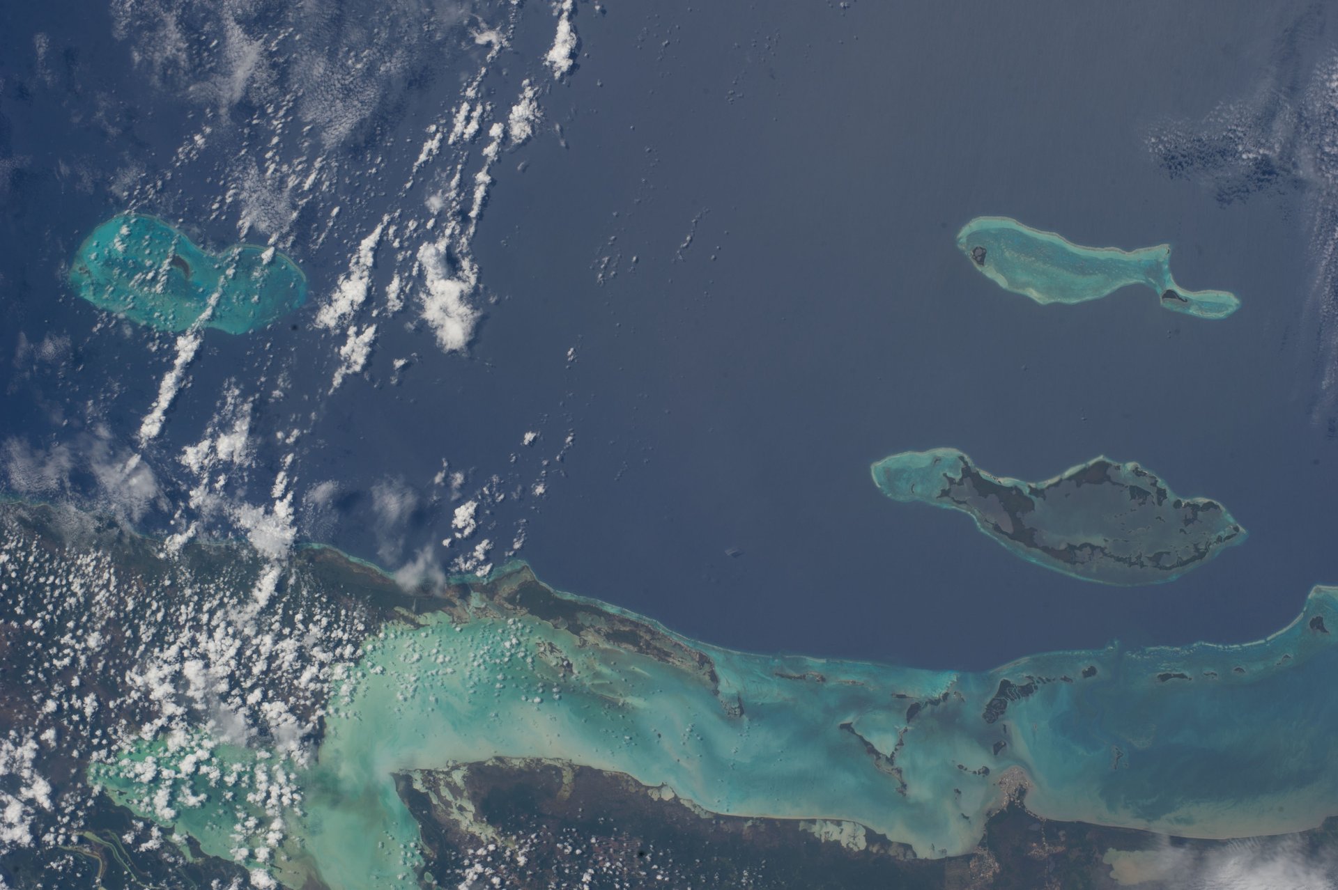
Image: NASA (ISS040-E-018752)
The MAR Insurance Programme, run by the nonprofit MAR Fund, uses parametric insurance to pay for fast reef repair after hurricanes along the 1,000 km.
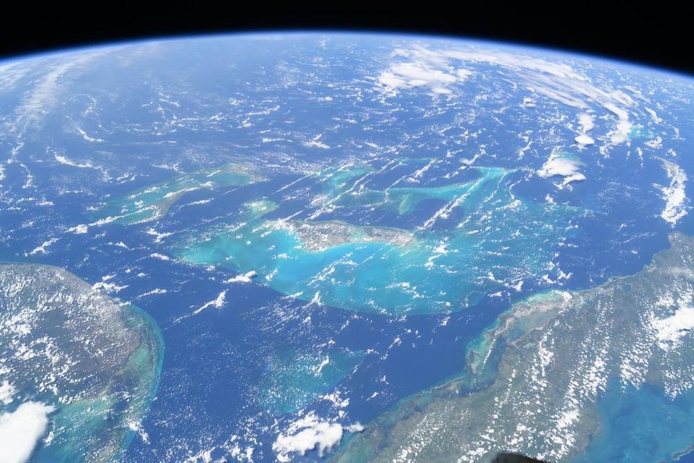
Image: NASA (ISS071-E-449837)
Founded by ocean scientist Dr. Sylvia Earle, Mission Blue backs a community-led network of 168 Hope Spots, ocean places local champions work to protect.
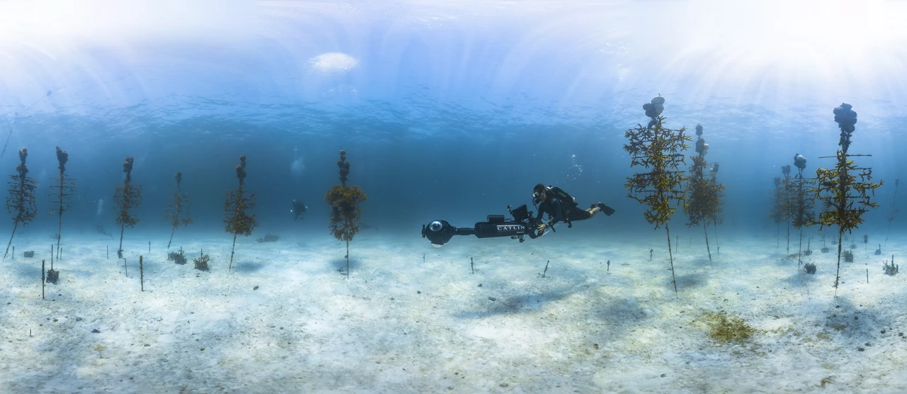
Image: NOAA Florida Keys National Marine Sanctuary (public domain)
Mote scientists have restored more than 216,000 corals to Florida's Coral Reef, and their restored corals now spawn (Mote figure).
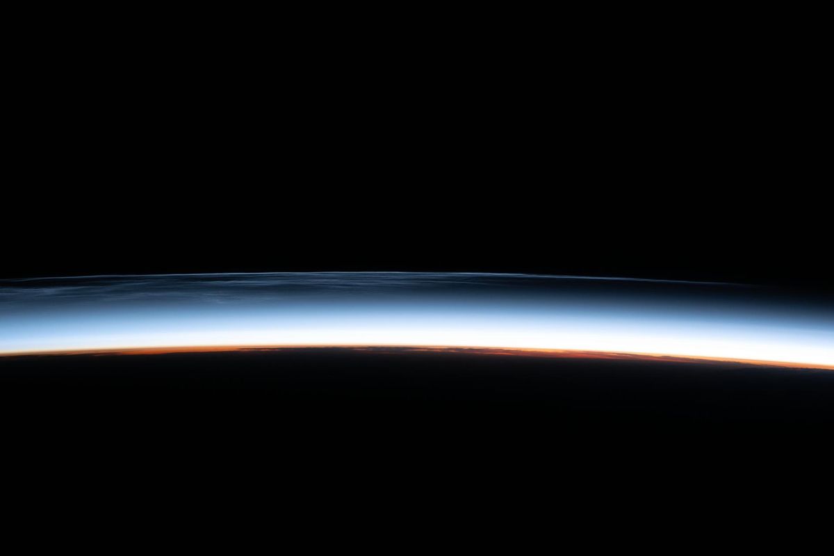
Image: NASA (ISS073-E-0257194)
A sailing nonprofit that has pulled more than 850,000 pounds of plastic from the Pacific Gyre in 10 voyages (nonprofit figure).
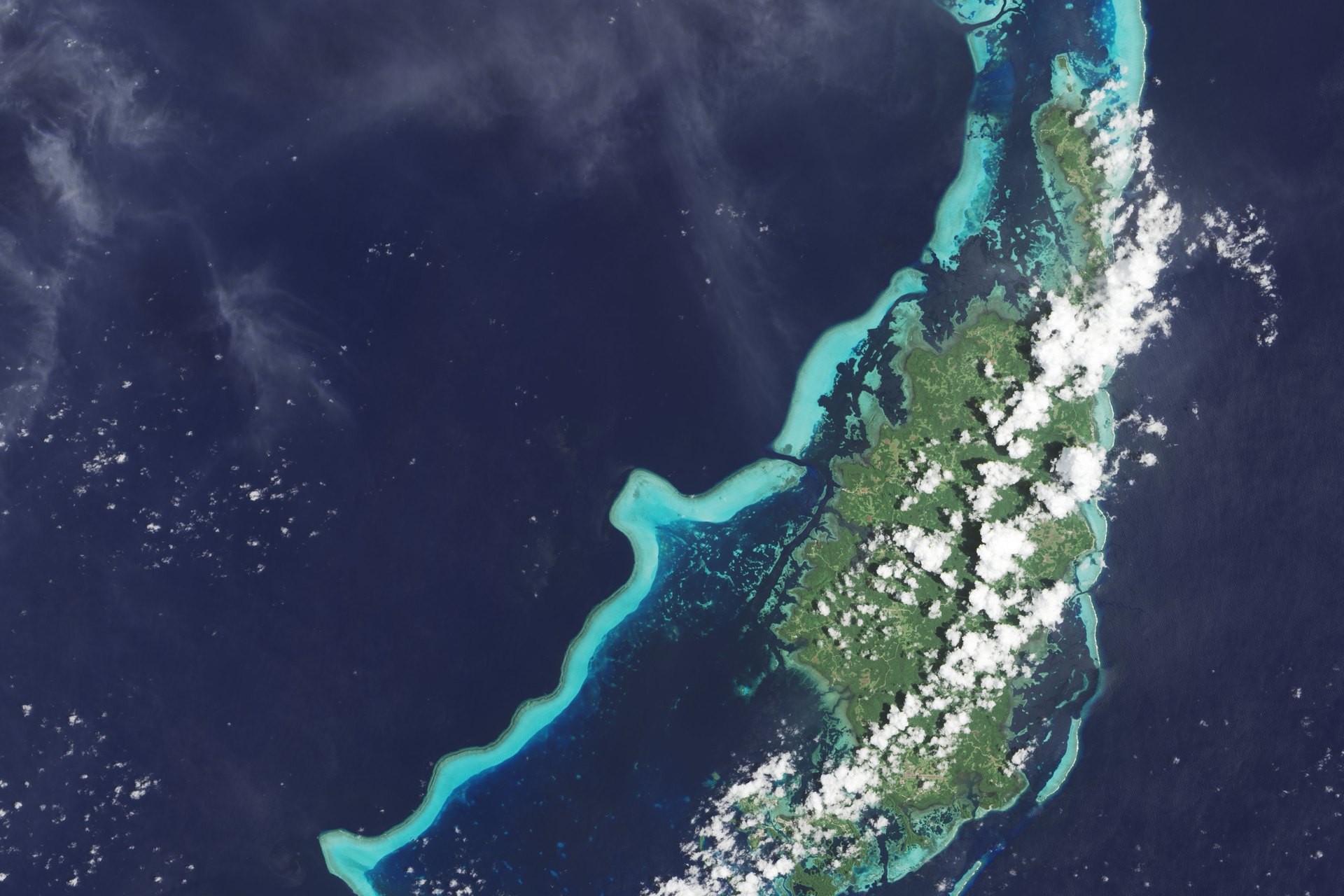
Image: NASA Earth Observatory/Jesse Allen, Landsat 8 data from USGS
The Palau National Marine Sanctuary makes about 80% of Palau's exclusive economic zone a no-take area, with the other 20% kept as a Domestic Fishing Zone.
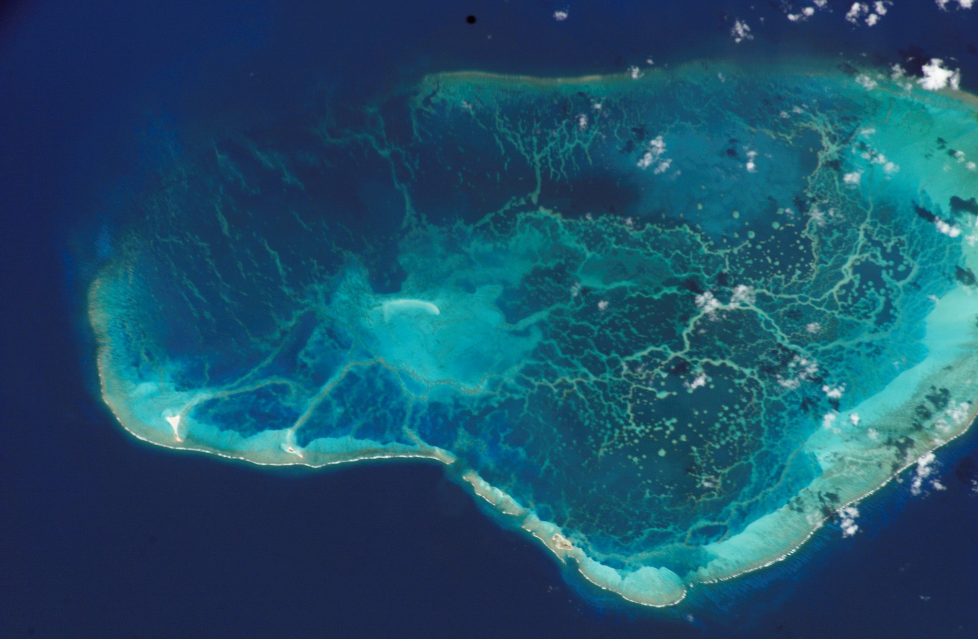
Image: NASA (ISS005-E-13929)
Designated in 2025 as America's 18th national marine sanctuary, Papahānaumokuākea covers 582,570 square miles of Pacific Ocean around Hawaiʻi (NOAA).
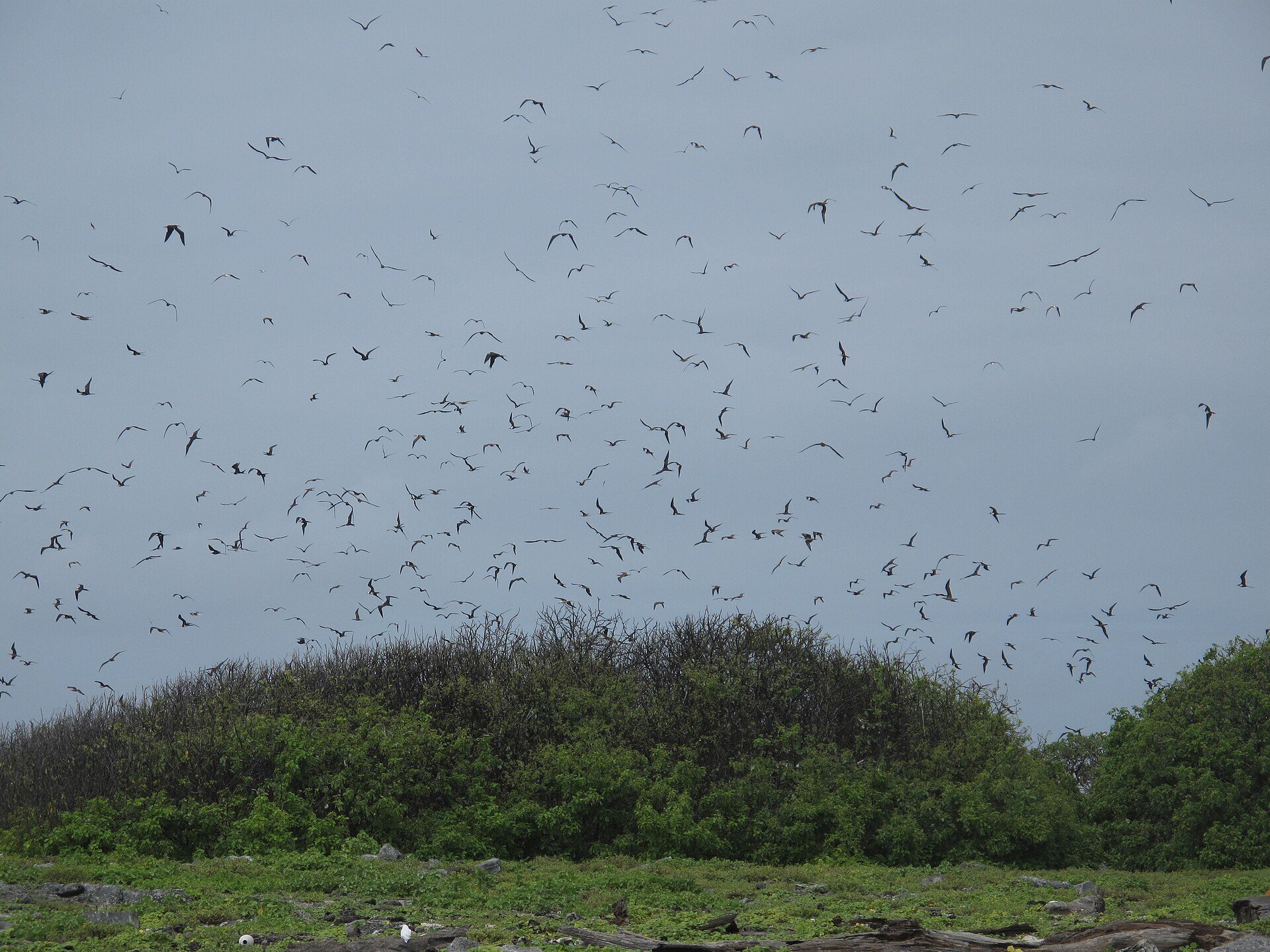
Image: Ron Van Oers / UNESCO (CC BY-SA 3.0 IGO)
✨ New solution
408,250 km² of protected ocean in Kiribati, home to about 800 known animal species, including about 200 coral species and 500 fish species.
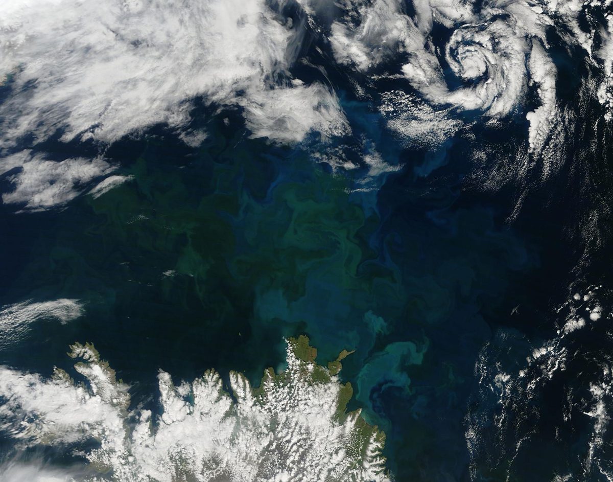
Image: NASA/Goddard
Tiny ocean plants produce about half of Earth's oxygen, making phytoplankton one of the planet's most important natural systems.
Plastic Bank pays collectors in vulnerable communities to gather ocean-bound plastic, exchanged at local branches for income, food vouchers and school supplies.
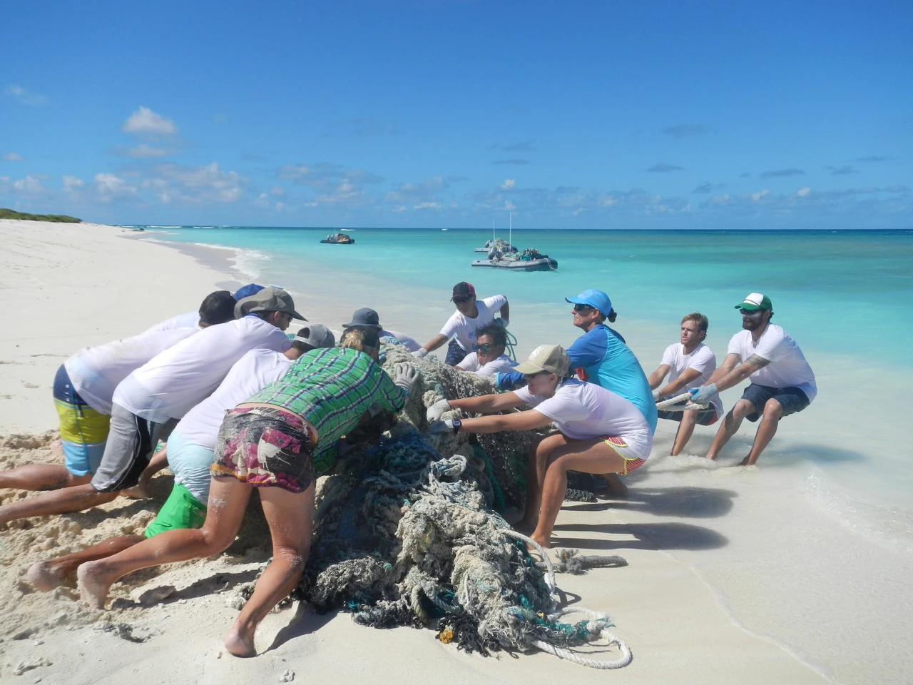
Image: NOAA (public domain)
Plastic Odyssey sets up small recycling factories in places with no recycling system, turning plastic waste into useful products and local jobs.
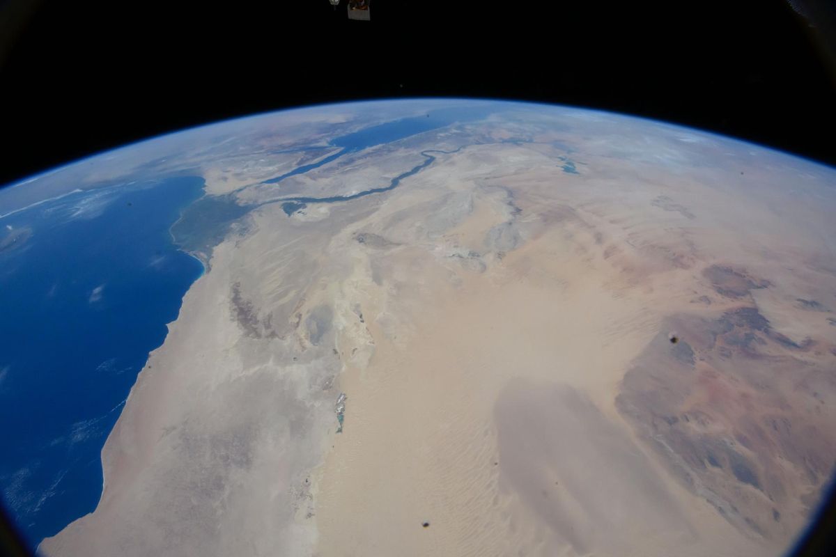
Image: NASA (ISS071-E-207494)
The Mediterranean seagrass Posidonia oceanica forms meadows that are thousands of years old and store carbon in the seafloor (CEAB-CSIC).
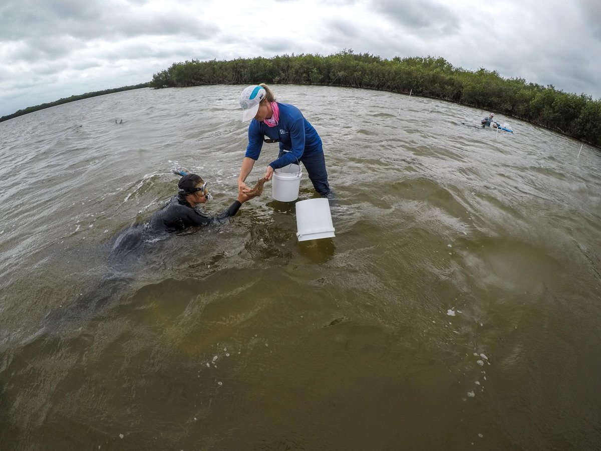
Image: NASA/Kim Shiflett (KSC-20230329-PH-KLS01_0304)
Project Seagrass, a UK charity, has planted more than 150,000 seagrass seeds to bring back underwater meadows (organization figures).
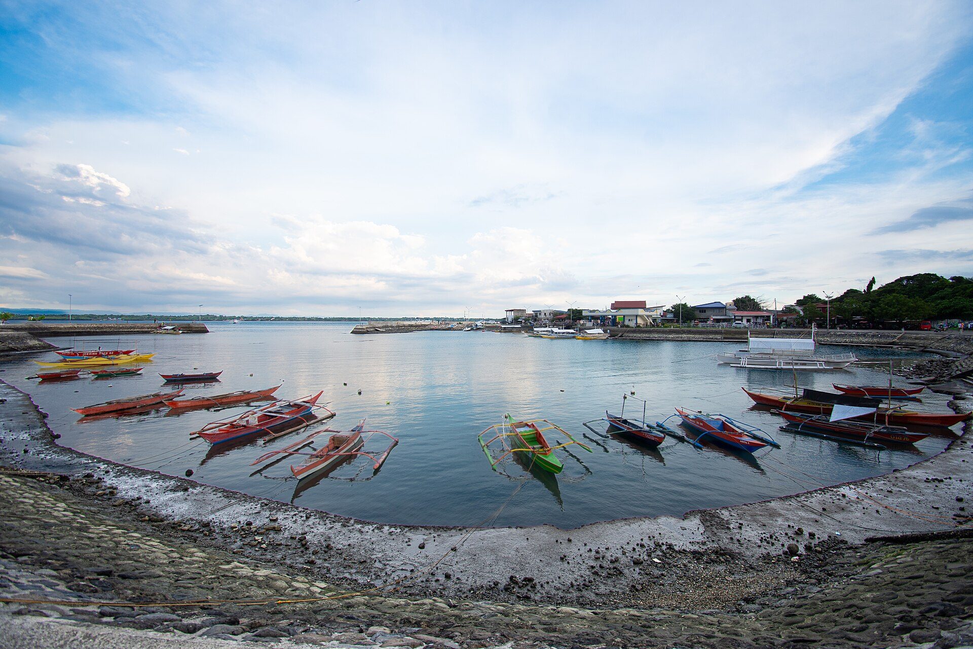
Image: Balairos Helton (CC BY-SA 4.0)
✨ New solution
Community-run fishing areas with no-take reserves: target fish stable or rising at 97% of sites after three years.
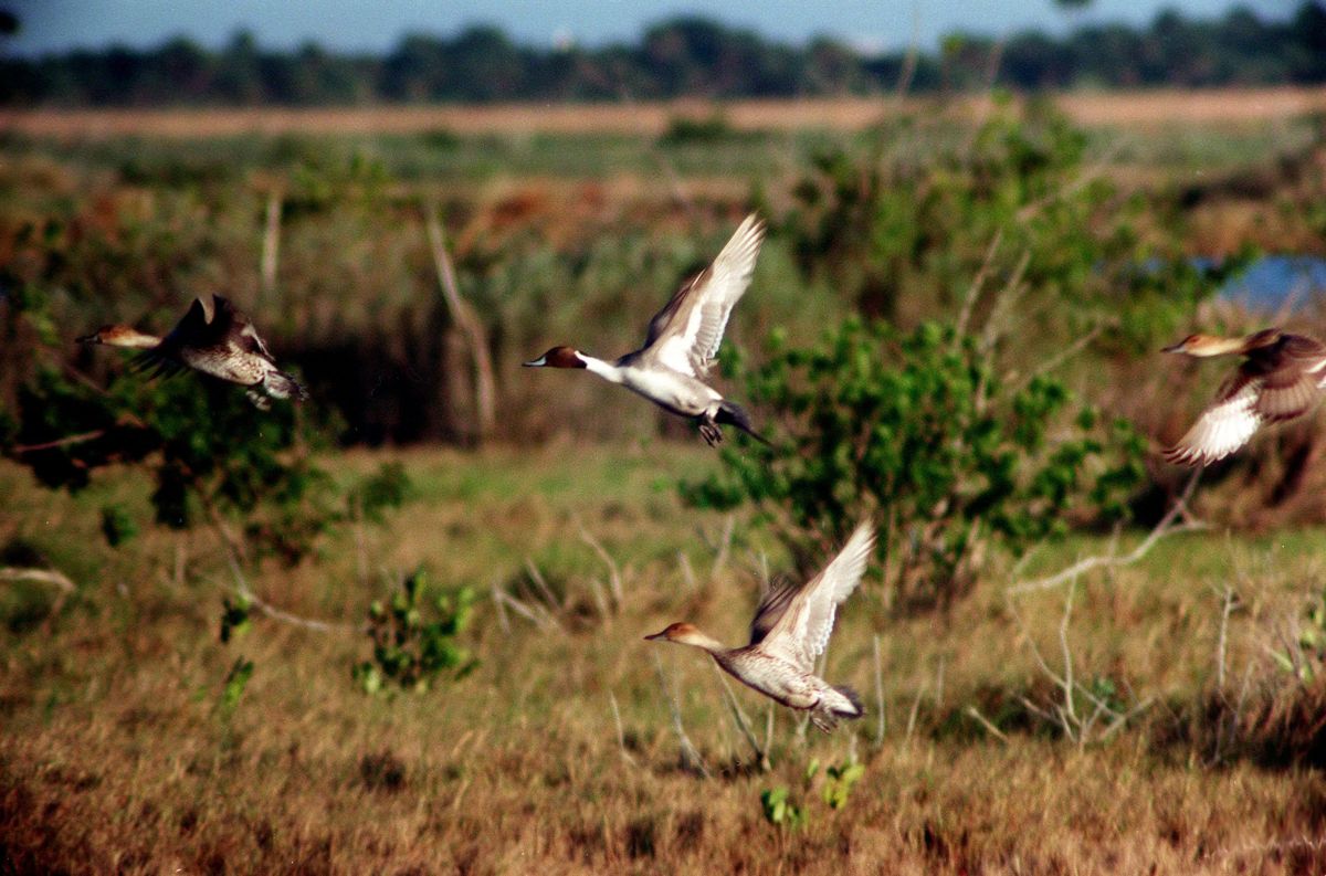
Image: NASA/KSC (KSC-99WL10)
Salt marshes are nurseries for more than 75% of fisheries species and buffer shorelines from erosion and floods (NOAA).
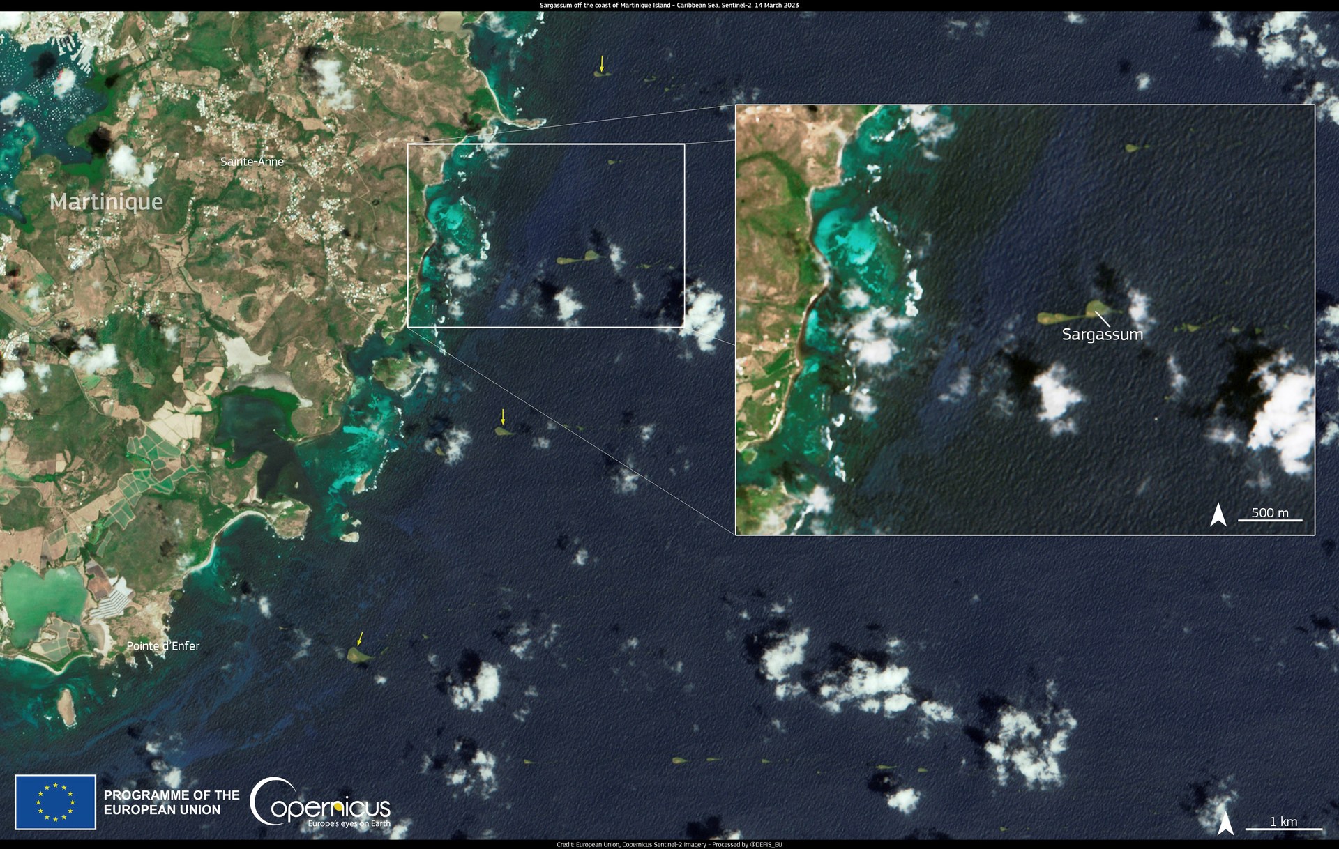
Image: Contains modified Copernicus Sentinel-2 data, processed by ESA
The University of South Florida uses NASA satellite data to track the Great Atlantic Sargassum Belt and warn coasts about seaweed blooms (USF).
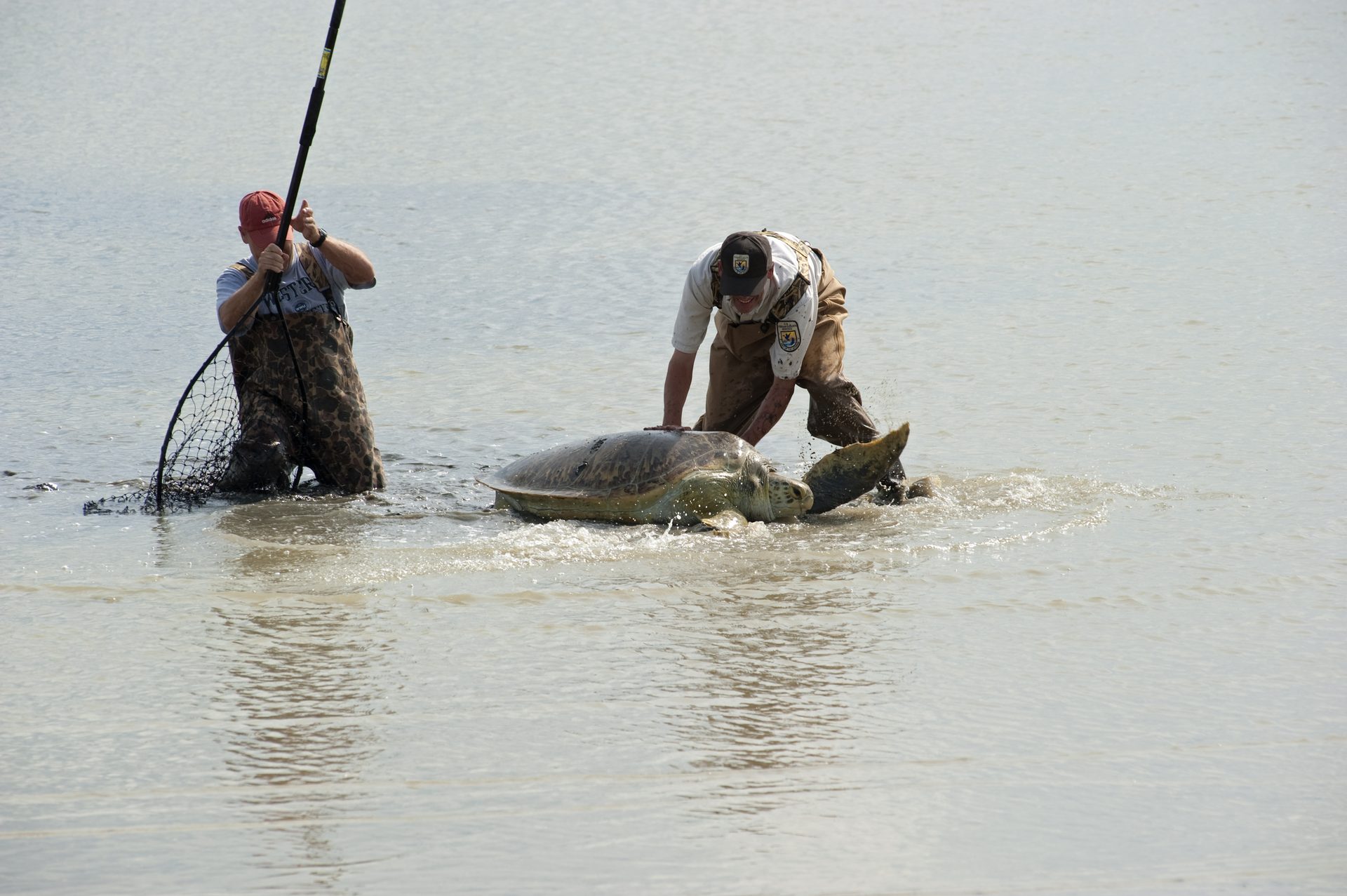
Image: NASA (2010-5237)
Sea Turtle Conservancy works in 8 countries, has tagged and monitored more than 550 turtles and trained over 1,200 researchers (nonprofit figures).
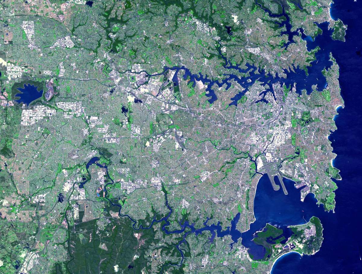
Image: NASA/GSFC/METI/ERSDAC/JAROS and U.S./Japan ASTER Science Team (PIA03498)
Seabin's floating bins have captured 33.2 million items in Sydney Harbour since 2020, including 19.0 million microplastics (company figures).
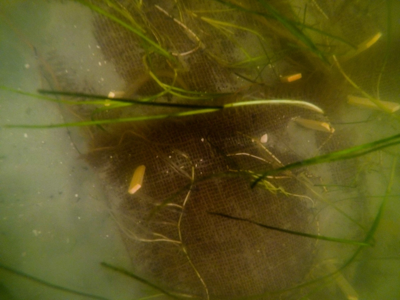
Image: NASA/Kim Shiflett (KSC-20230329-PH-KLS01_0323)
Seagrass covers just 0.1% of the seafloor but stores 11% of the ocean's buried organic carbon, and one acre can support almost 40,000 fish, NOAA says.
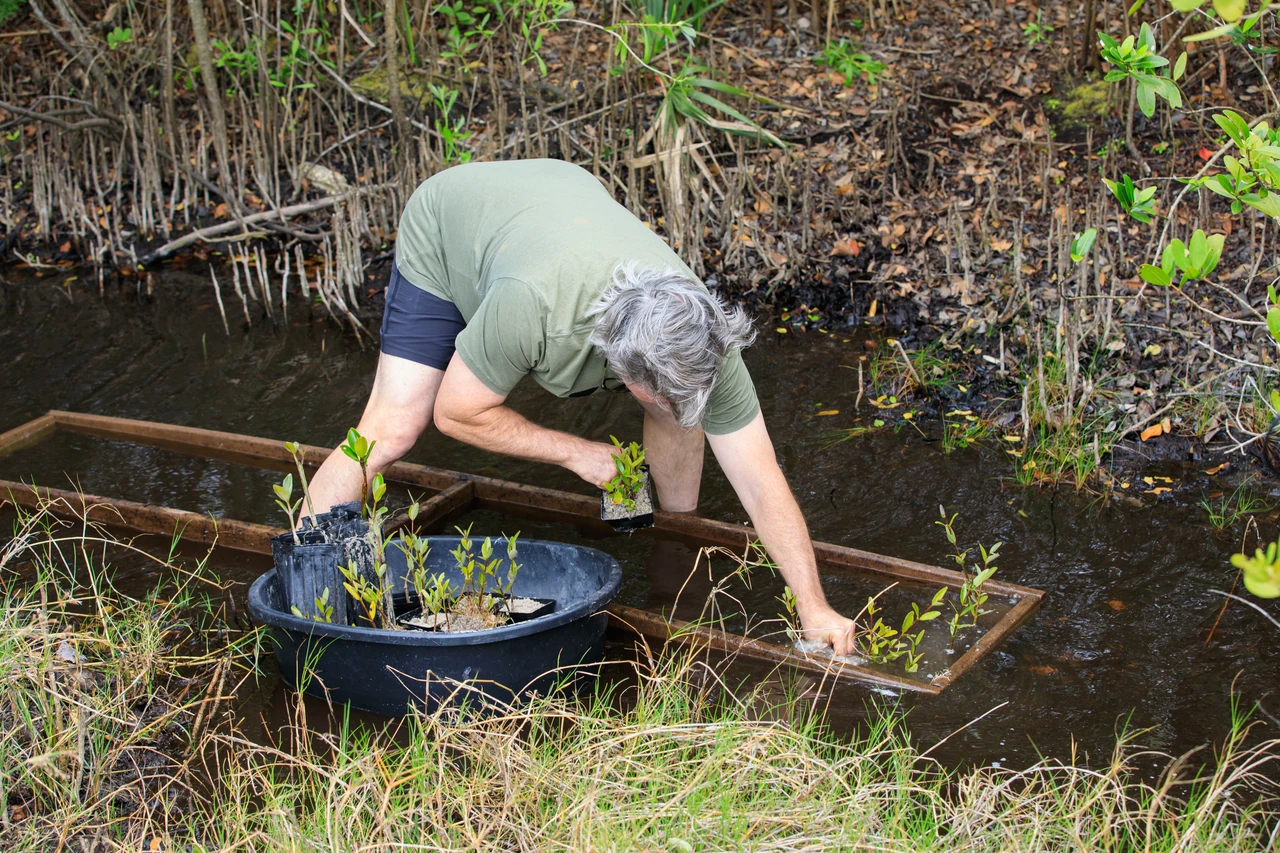
Image: NASA/Glenn Benson (KSC-20230412-PH-GEB01_0152)
SeaTrees connects people with local partners restoring mangroves, coral reefs, kelp forests and seagrass meadows around the world (SeaTrees).
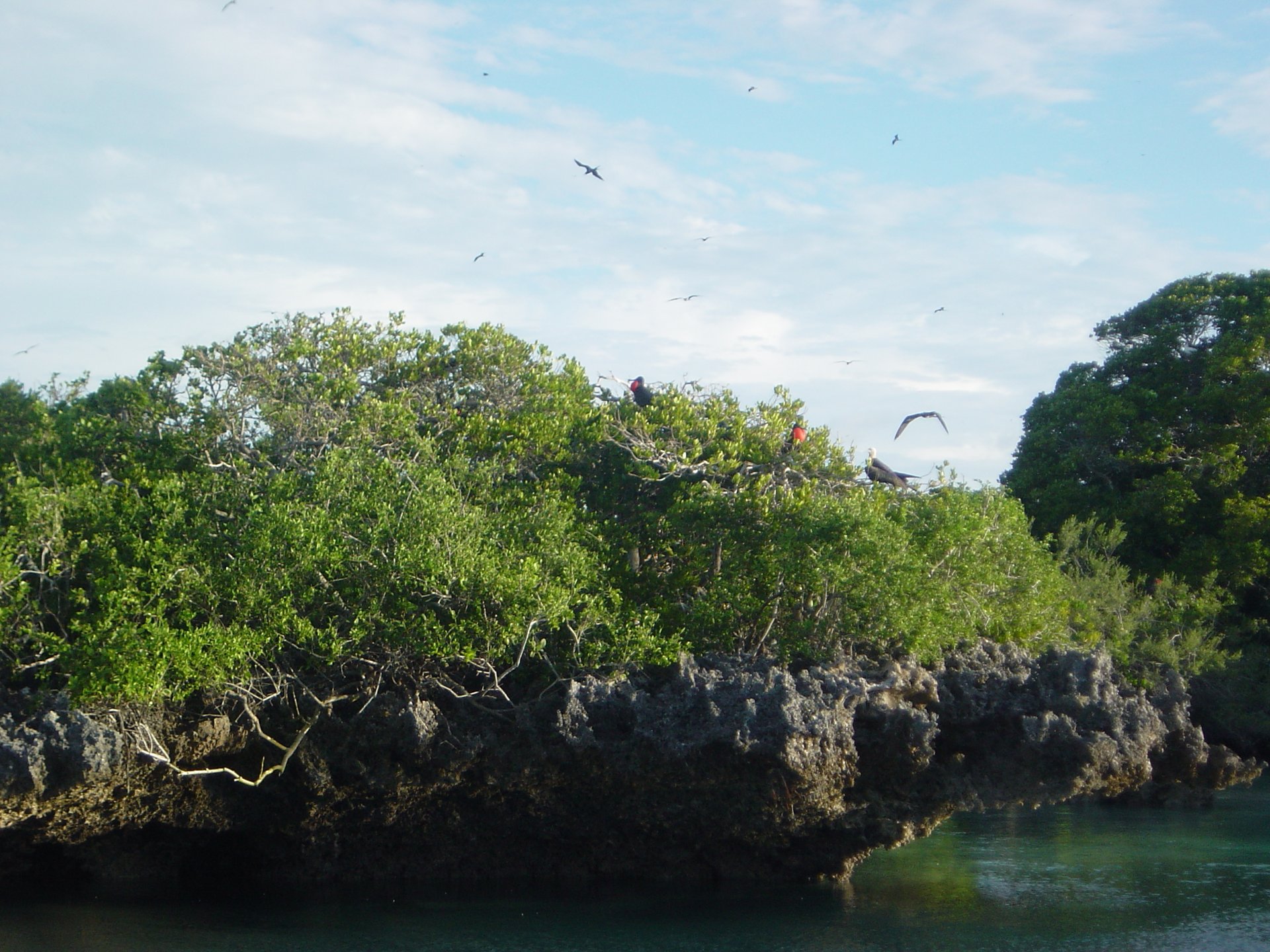
Image: Ron Van Oers/UNESCO via Wikimedia Commons (CC BY-SA 3.0 IGO)
Seychelles turned a debt-for-nature swap with The Nature Conservancy into a plan that protects 30% of its waters (State House Seychelles).
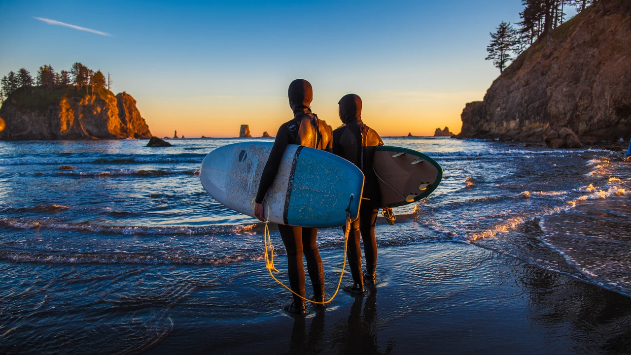
Image: Matt McIntosh/NOAA (public domain)
Surfrider Foundation volunteers protect the ocean, waves and beaches, and in 2025 they removed 338,383 pounds of trash from U.S. coasts (Surfrider).

Created by the Founder and SI
The Ocean Cleanup removes legacy plastic from ocean garbage patches and intercepts it in rivers: more than 65 million kilograms caught as of October 2026.
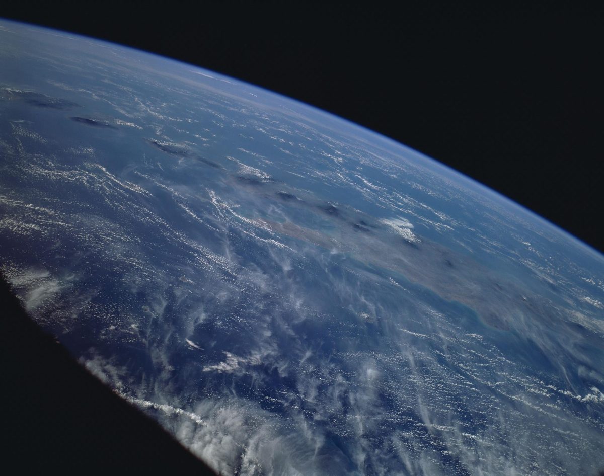
Image: NASA (STS066-154-157)
Mobula cleanup boats catch plastic close to where it starts, and in Malaysia one boat turned 135,000 pieces of debris into community walkways (The SeaCleaners).
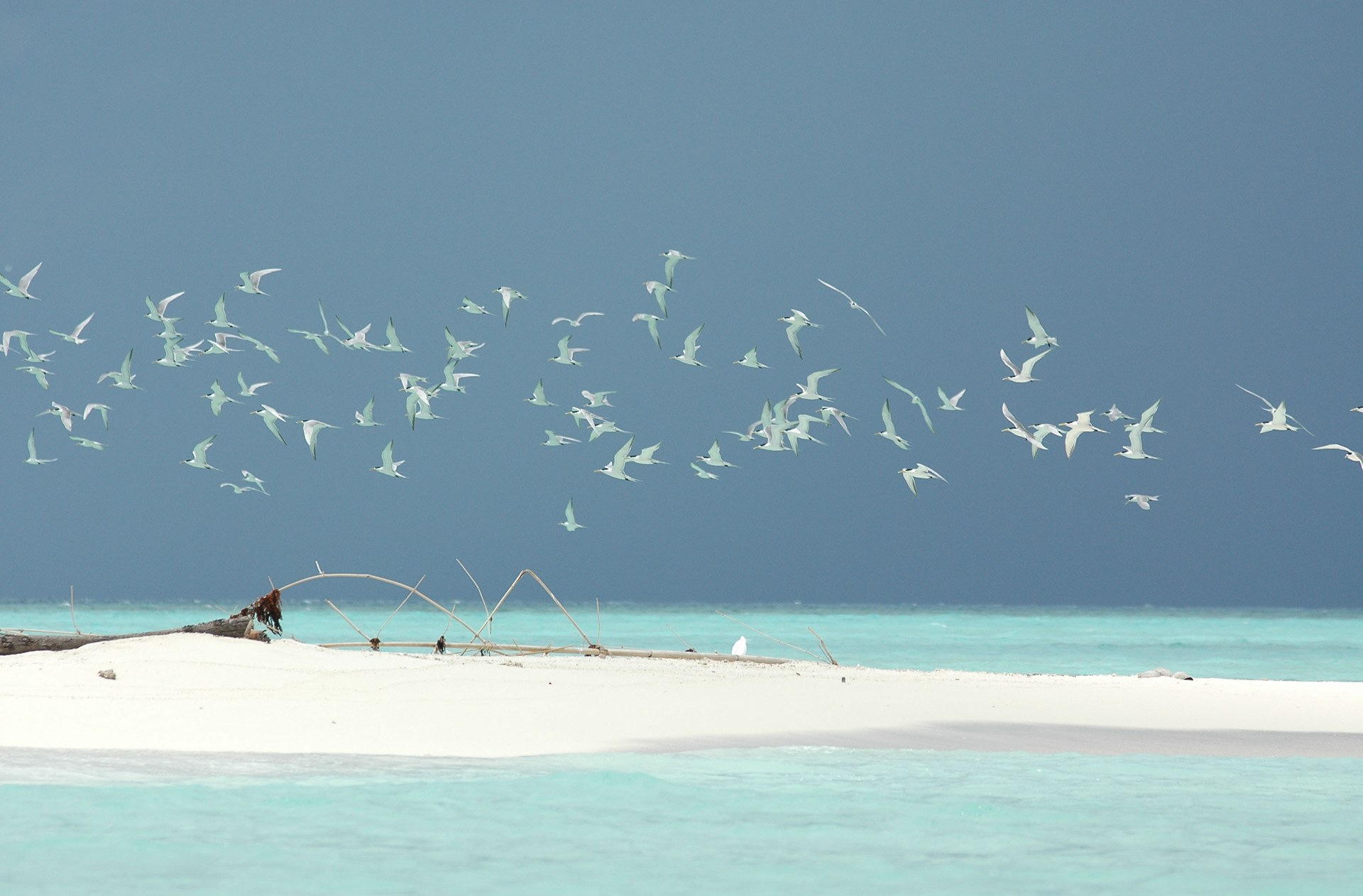
Image: Ron Van Oers/UNESCO via Wikimedia Commons (CC BY-SA 3.0 IGO)
Tubbataha, a no-take marine park of 96,828 hectares in the Philippines, protects pristine coral atolls and the sea life that seeds the Sulu Sea (UNESCO).
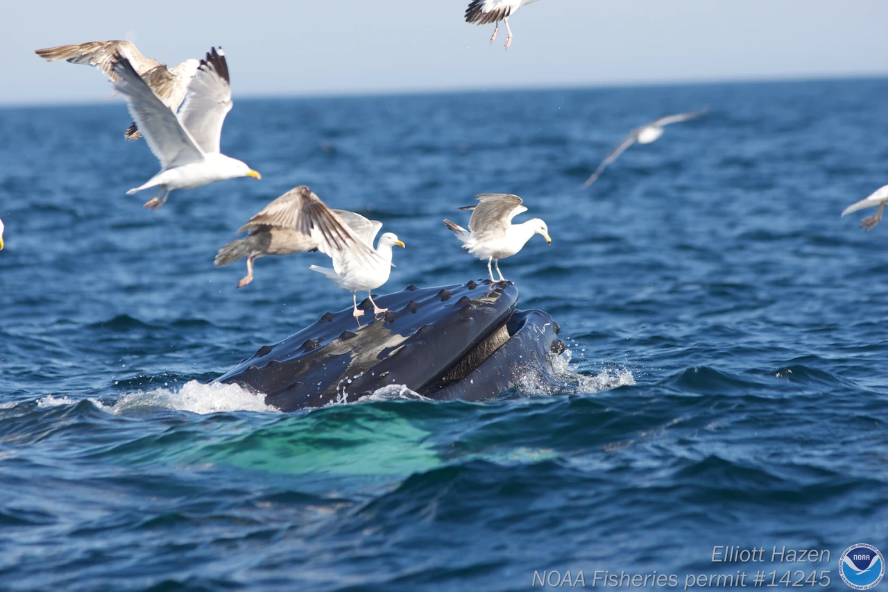
Image: Elliot Hazen/NOAA Fisheries Permit #14245 (public domain)
Whale waste carries nutrients to the ocean surface and fertilizes phytoplankton, the tiny plants at the base of the ocean food web (NOAA Fisheries).
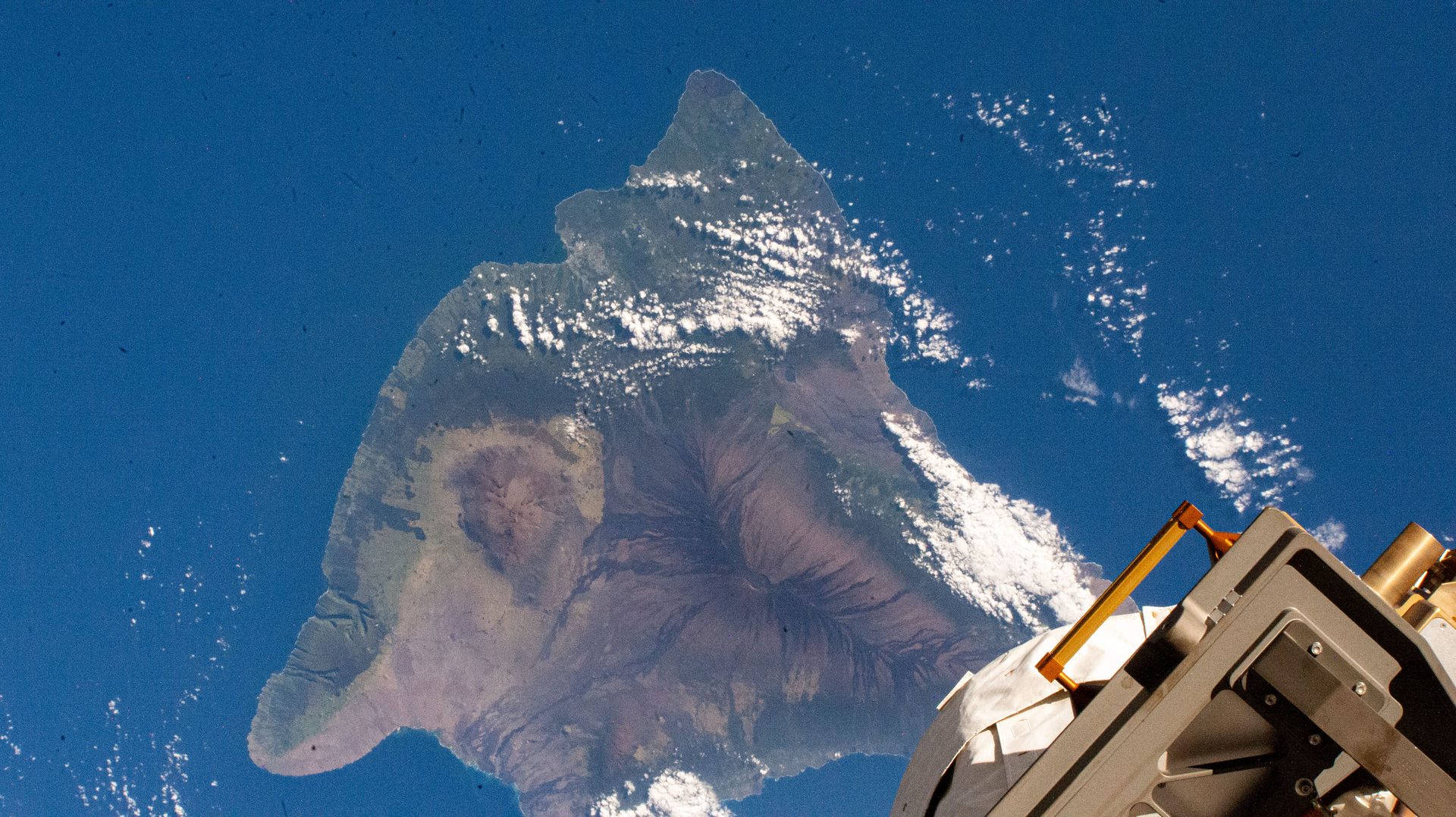
Image: NASA (ISS072-E-421839)
Four robotic telescopes, two in Hawaiʻi, search the entire dark sky every 24 hours for asteroids that could hit Earth, so people can be warned.
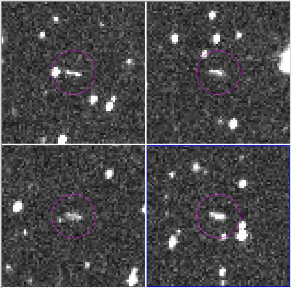
Image: NASA/JPL-Caltech/CSS-Univ. of Arizona (PIA22468)
A NASA-funded survey in Arizona that has discovered more near-Earth objects than any other: 17,930 near-Earth asteroids since 1995.
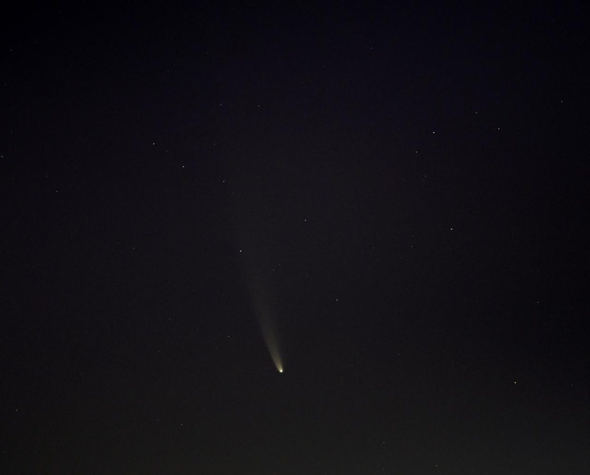
Image: NASA/Bill Ingalls (NHQ202007120001)
Three spacecraft will wait in space for a fresh comet and fly past it together to make a 3D map; launch is planned for late 2028 or early 2029 (ESA).
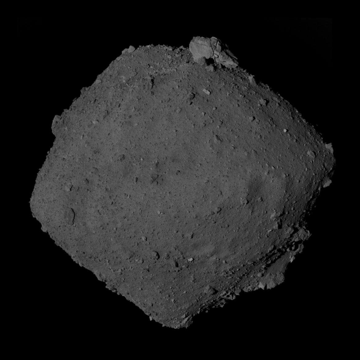
Image: JAXA Hayabusa2 ONC data, processed by Anonymsiy (CC BY 4.0)
On 5 July 2026, JAXA's Hayabusa2 passed about 400 m above asteroid Torifune, the closest flyby of any Solar System body so far (JAXA).
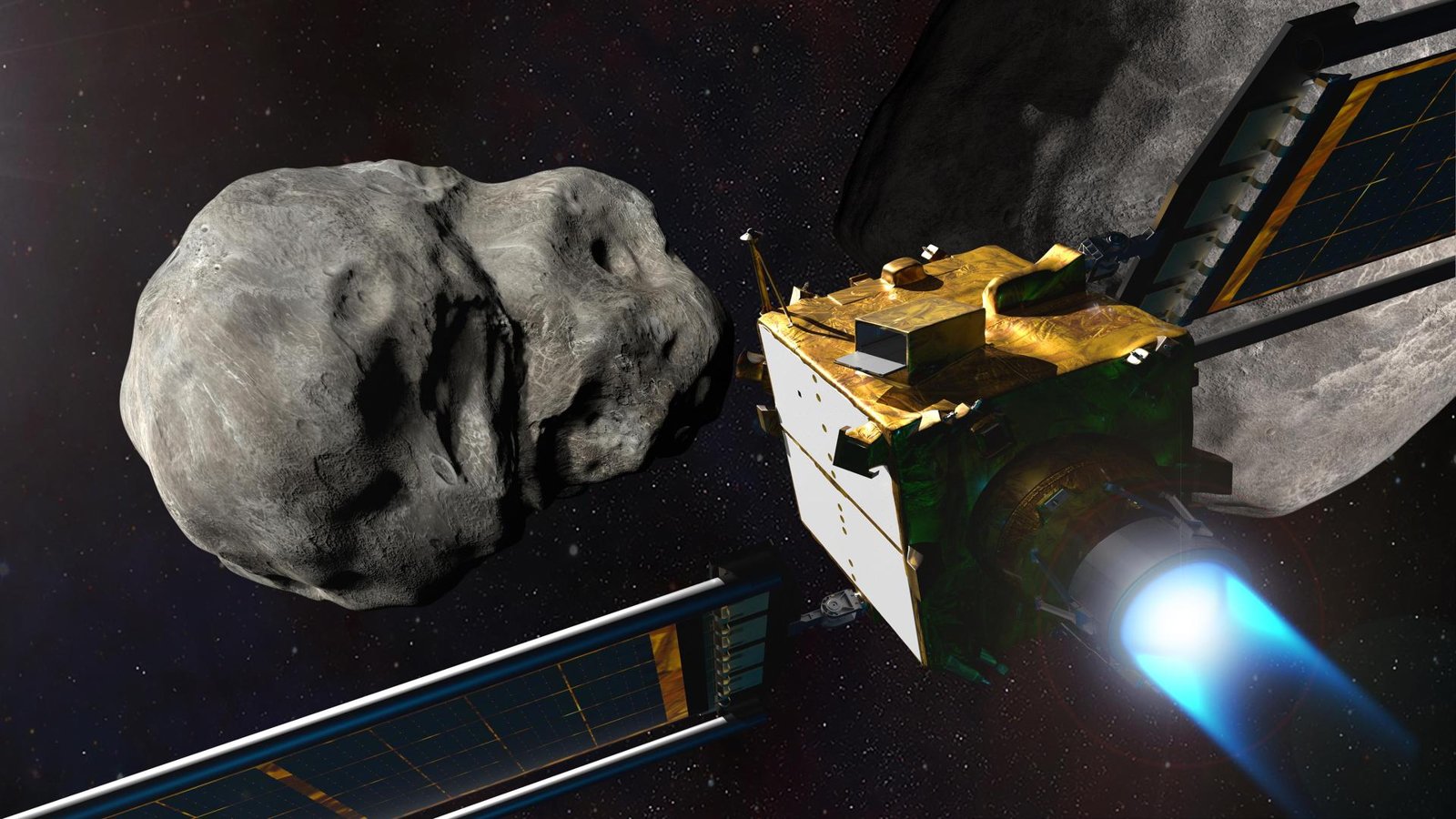
Image: ESA – Science Office (CC BY-SA 3.0 IGO, resized)
ESA's Hera has arrived at the Didymos asteroids to measure what NASA's DART impact did to Dimorphos, turning deflection into a repeatable defense.
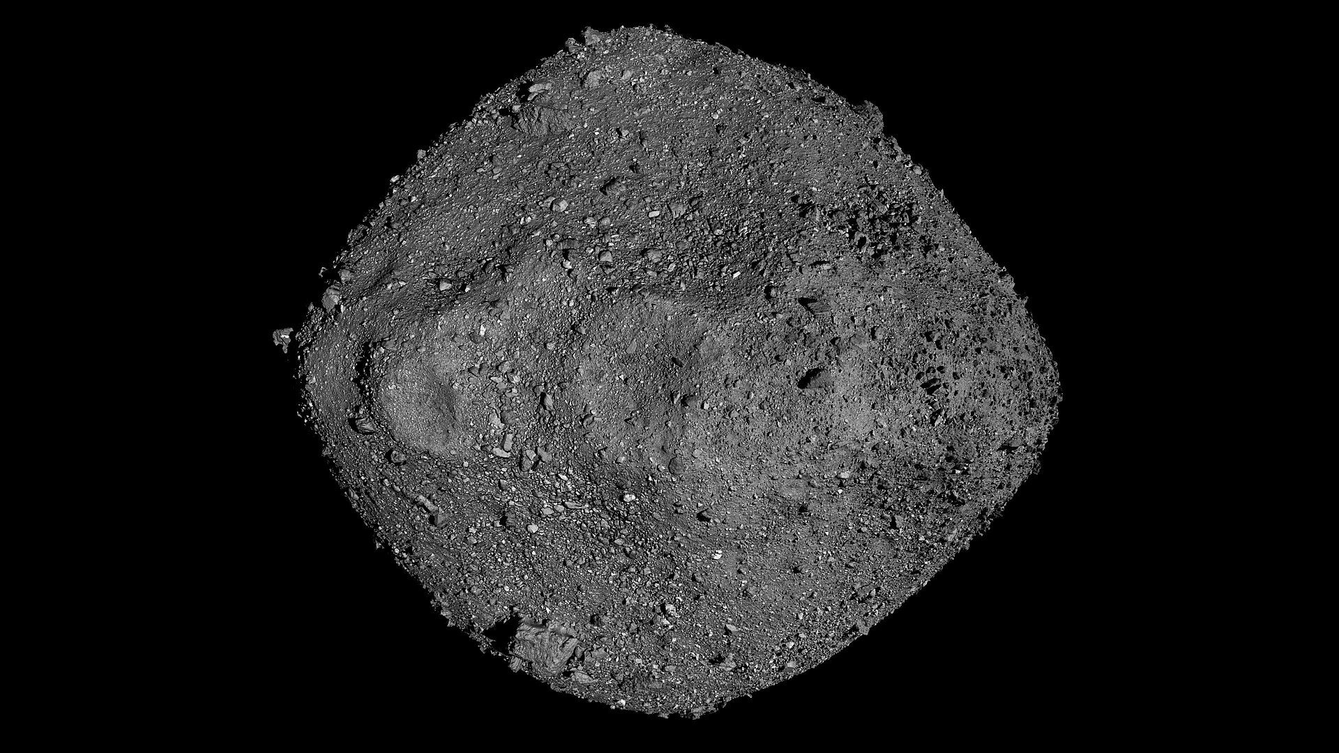
Image: NASA/Goddard/University of Arizona (public domain)
✨ New solution
The world’s clearinghouse for asteroid and comet sightings: 43,286 near-Earth objects discovered, 273 this month (as of Nov 16, 2026).
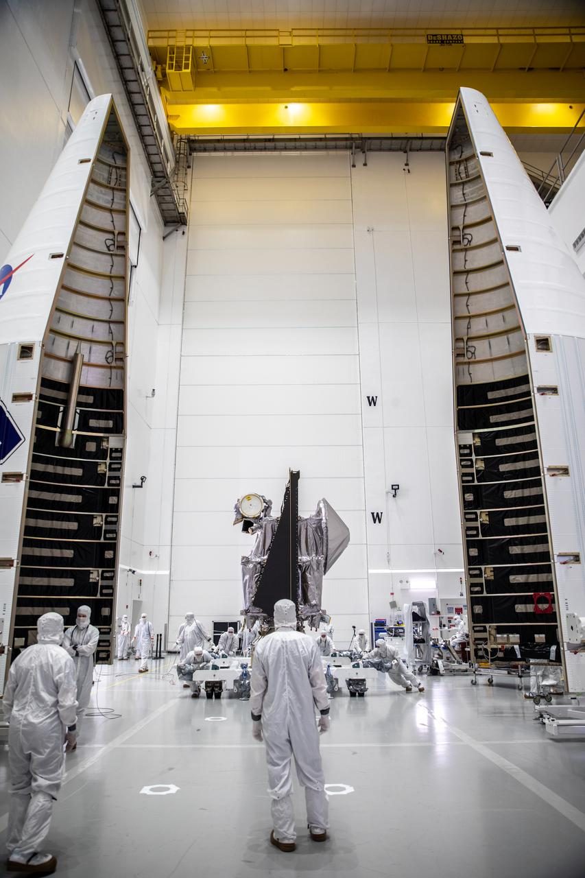
Image: NASA/Ben Smegelsky (KSC-20210929-PH-JBS01_0051)
NASA's Lucy is touring asteroids; after Dinkinesh and Donaldjohanson, it reaches its first Trojan asteroid, Eurybates, on 11 August 2027 (NASA).
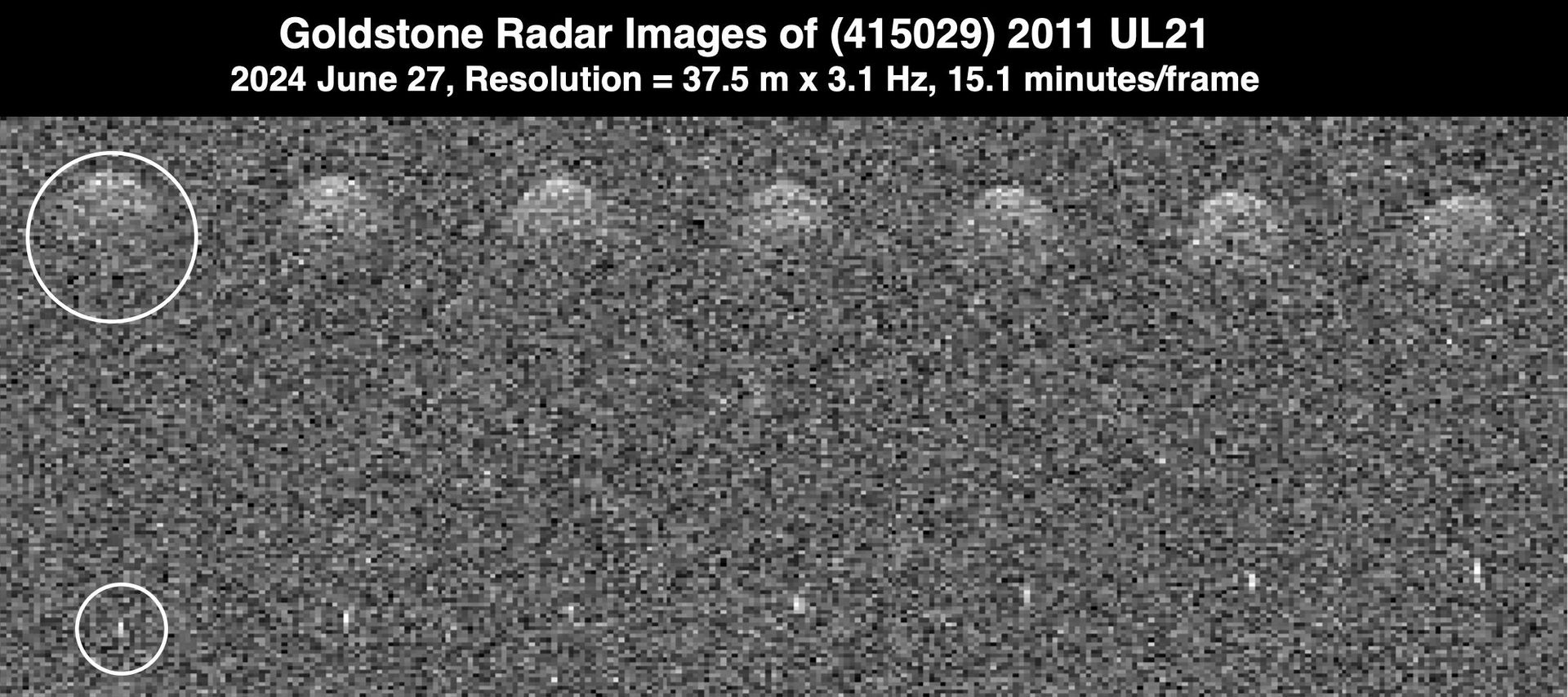
Image: NASA/JPL-Caltech (PIA26384)
Europe's asteroid watch centre computes orbits and impact risks every day and keeps a public list of every asteroid with a non-zero chance of hitting Earth.
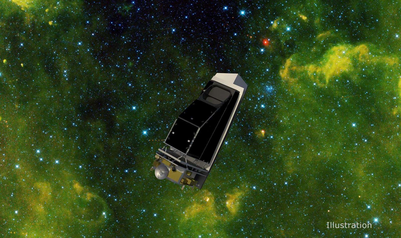
Image: NASA/JPL-Caltech/University of Arizona (PIA25253)
NASA NEO Surveyor is the first space telescope built to find hazardous asteroids, including dark ones hidden in the Sun's glare. Launch NET September 2027.
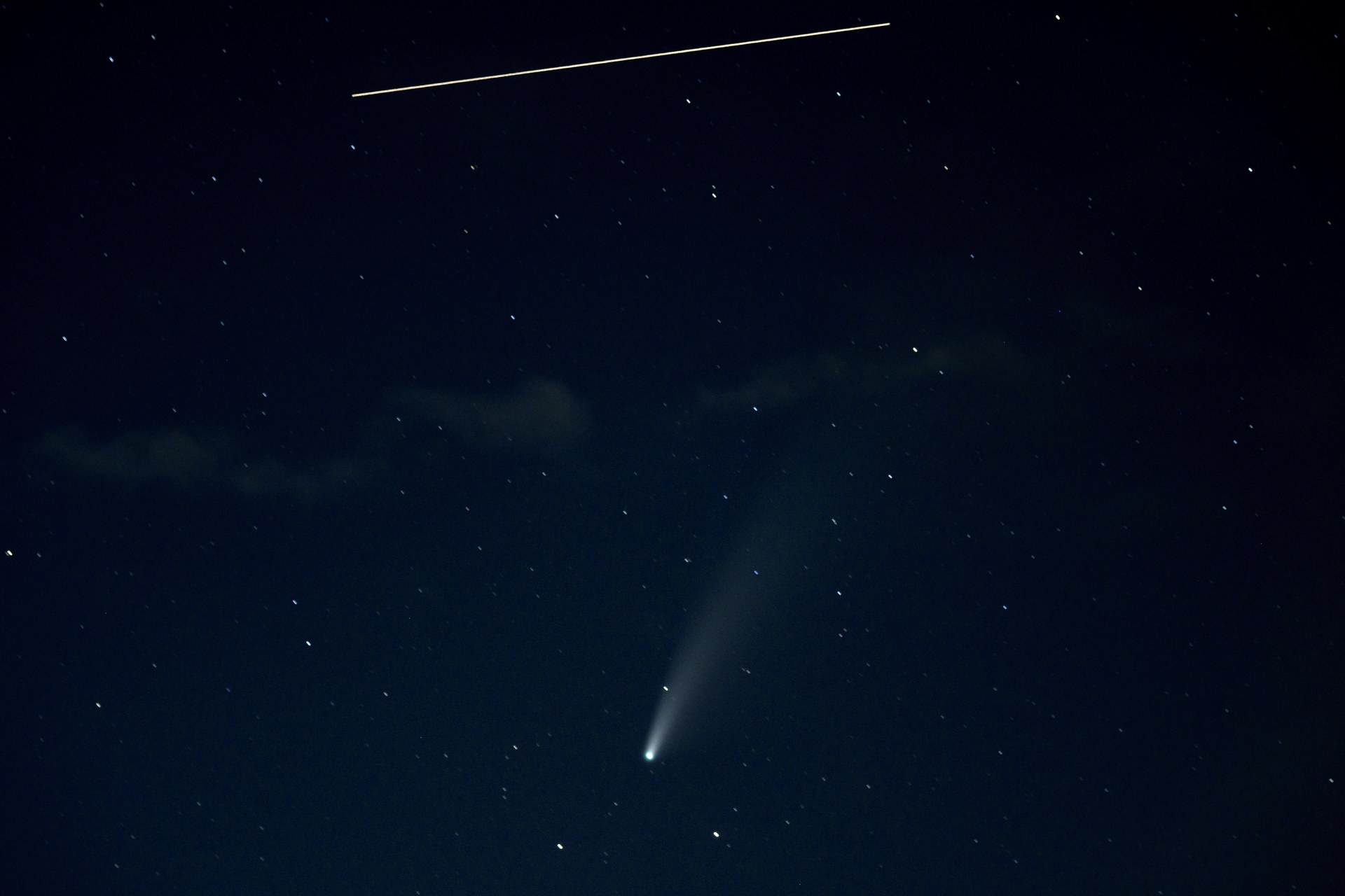
Image: NASA/Bill Ingalls (NHQ202007180001)
Canada's NEOSSat circles Earth every 100 minutes, scanning near the Sun for asteroids and comets and tracking satellites and debris (CSA).
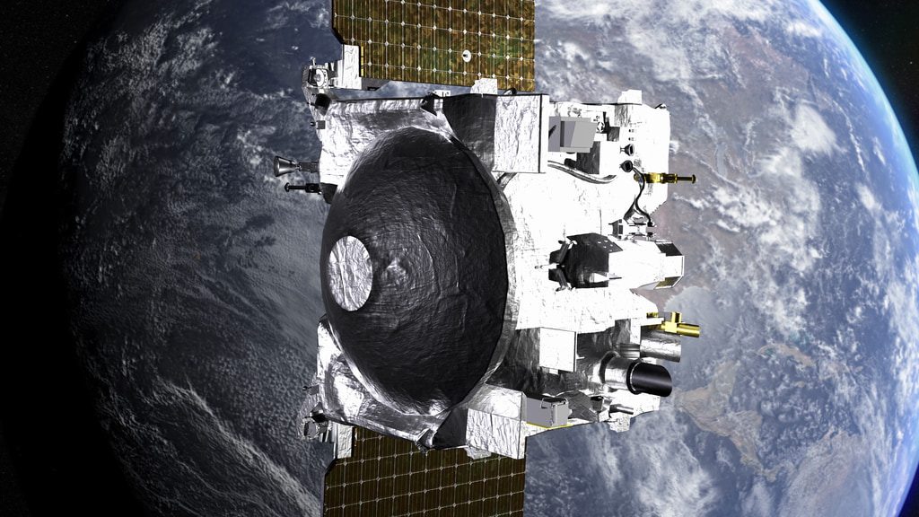
Image: NASA
On April 13, 2029, asteroid Apophis passes about 20,000 miles from Earth. NASA's OSIRIS-APEX meets it in June 2029 to see how that close pass changes it.
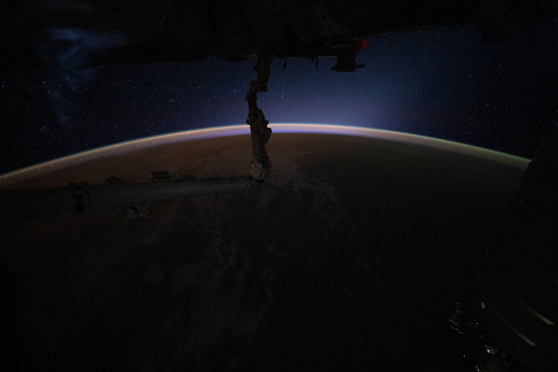
Image: NASA (ISS074-E-0480485)
Two telescopes on Haleakalā, Maui, that in 2021 found nearly as many near-Earth objects as the rest of the world's observatories combined.
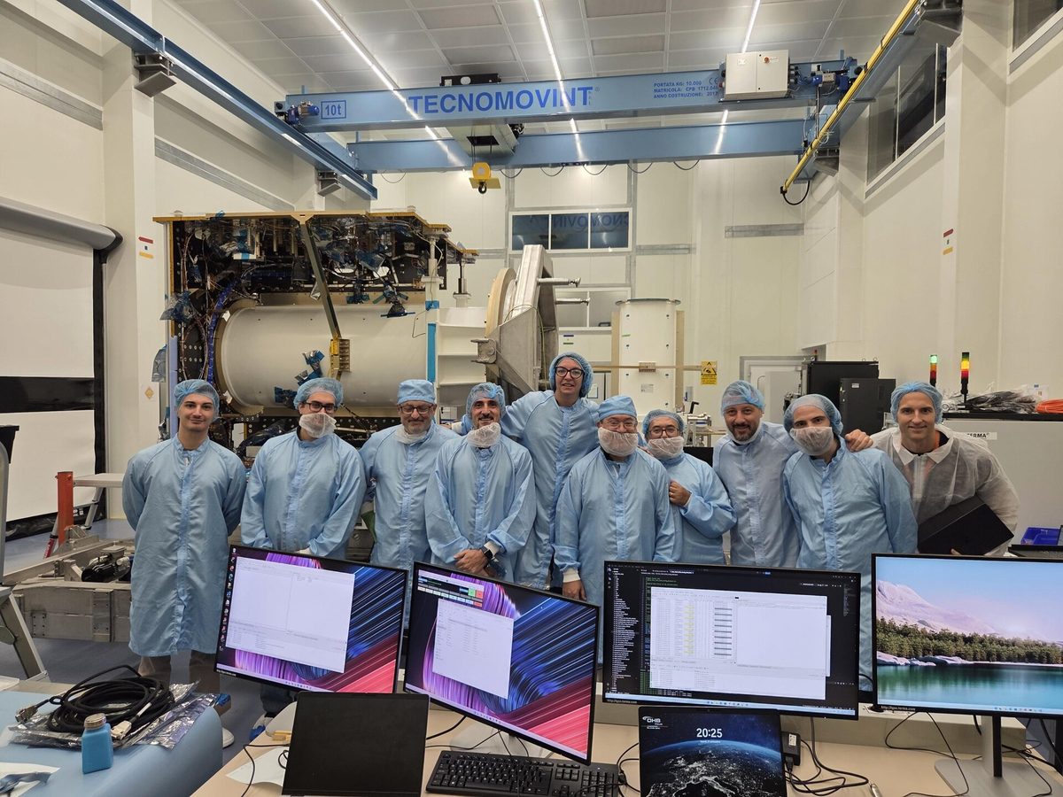
Image: ESA
ESA and JAXA's Ramses must launch by spring 2028 to meet Apophis before its 2029 Earth pass. Its €81.2 million build contract was signed in February 2026.
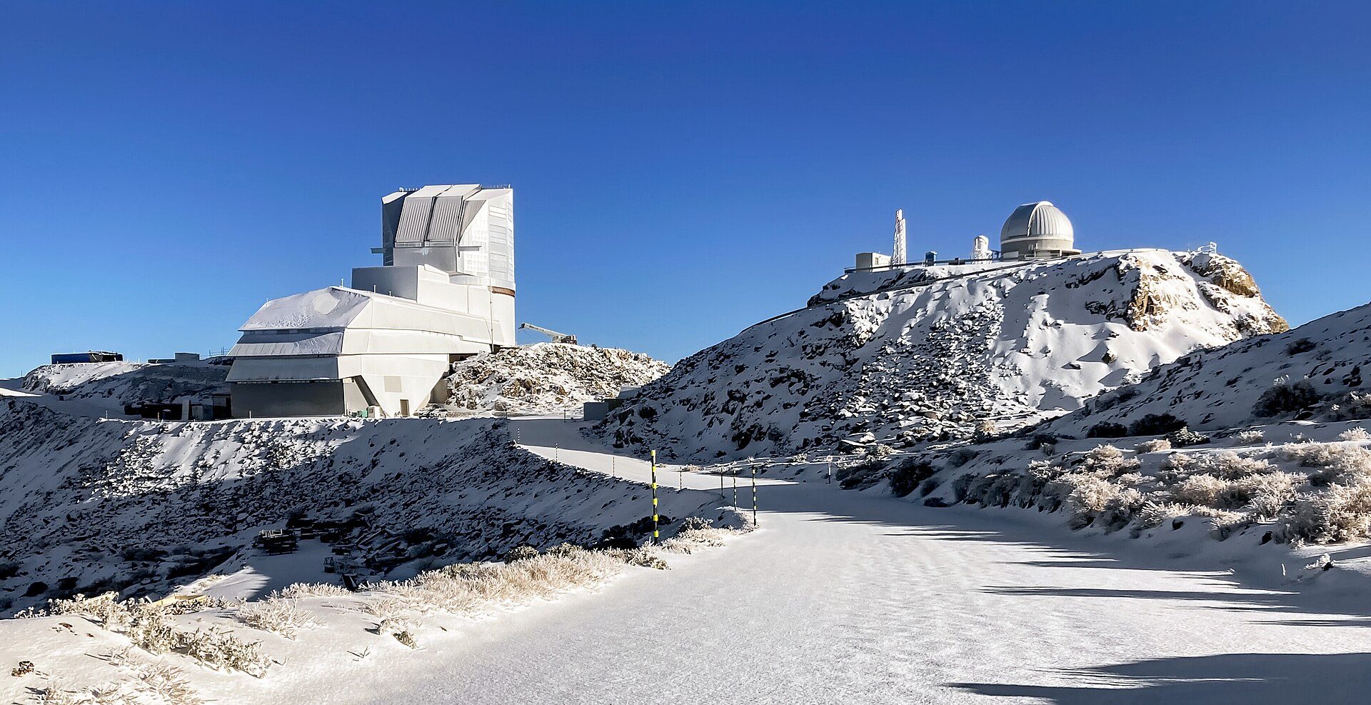
Image: Rubin Observatory/NOIRLab/NSF/AURA/F. Bruno (CC BY 4.0)
A new NSF–DOE observatory on Cerro Pachón, Chile, began its 10-year sky survey in July 2026 and is already finding asteroids by the thousand.
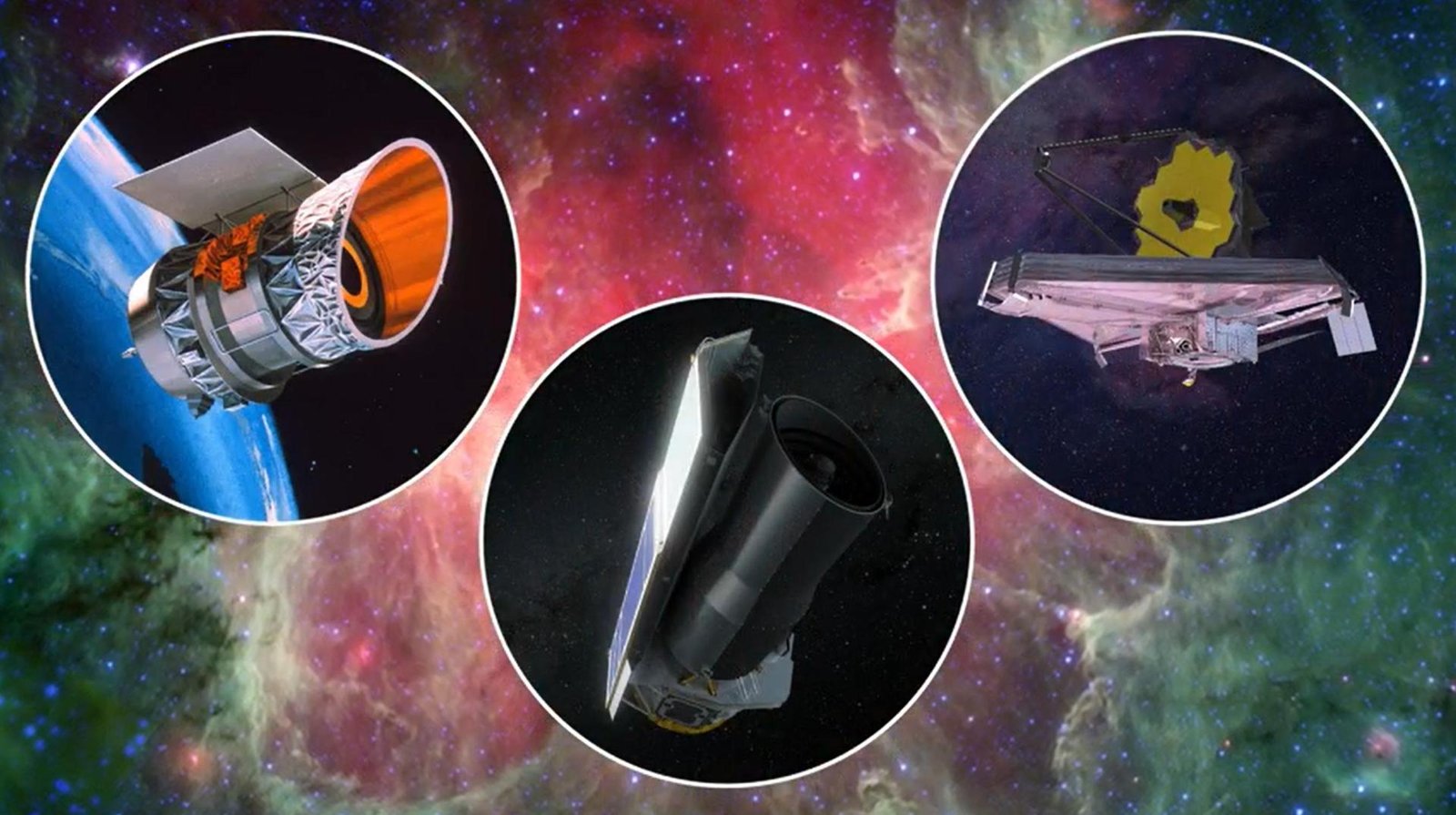
Image: NASA/JPL-Caltech (PIA25790)
How the James Webb Space Telescope tracked asteroid 2024 YR4 in February 2026 and ruled out a 2032 Moon impact, two years before ground telescopes could.
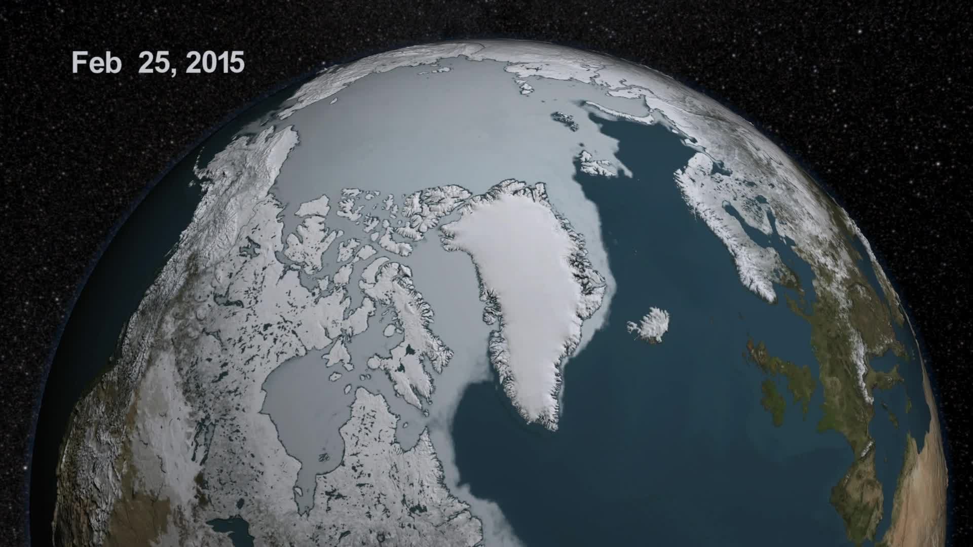
Image: NASA Scientific Visualization Studio (GSFC_20171208_Archive_e000613)
Arctic Basecamp is a registered not-for-profit that spotlights the global threats of polar climate change and communicates areas of action (Arctic Basecamp).
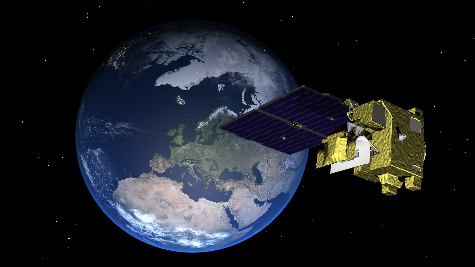
Image: ESA (CC BY-SA 3.0 IGO)
ESA's small Arctic Weather Satellite, launched in August 2024, paved the way for EPS-Sterna, a fleet of 20 satellites from 2029 (ESA, EUMETSAT).
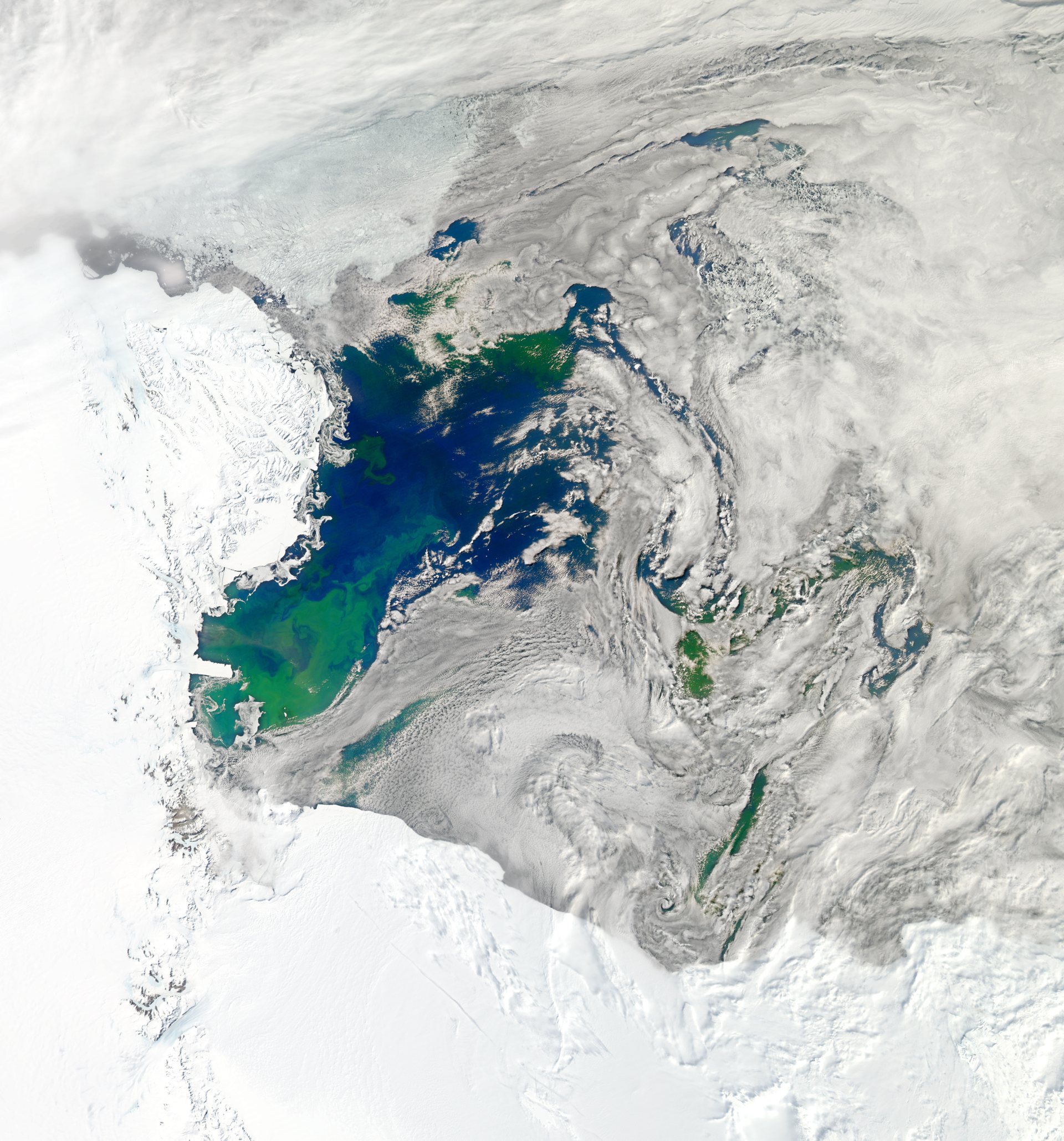
Image: NASA (GSFC_20171208_Archive_e001951)
ASOC, a coalition of conservation groups, has advocated for stronger protection of Antarctica and the Southern Ocean since 1978 (ASOC).
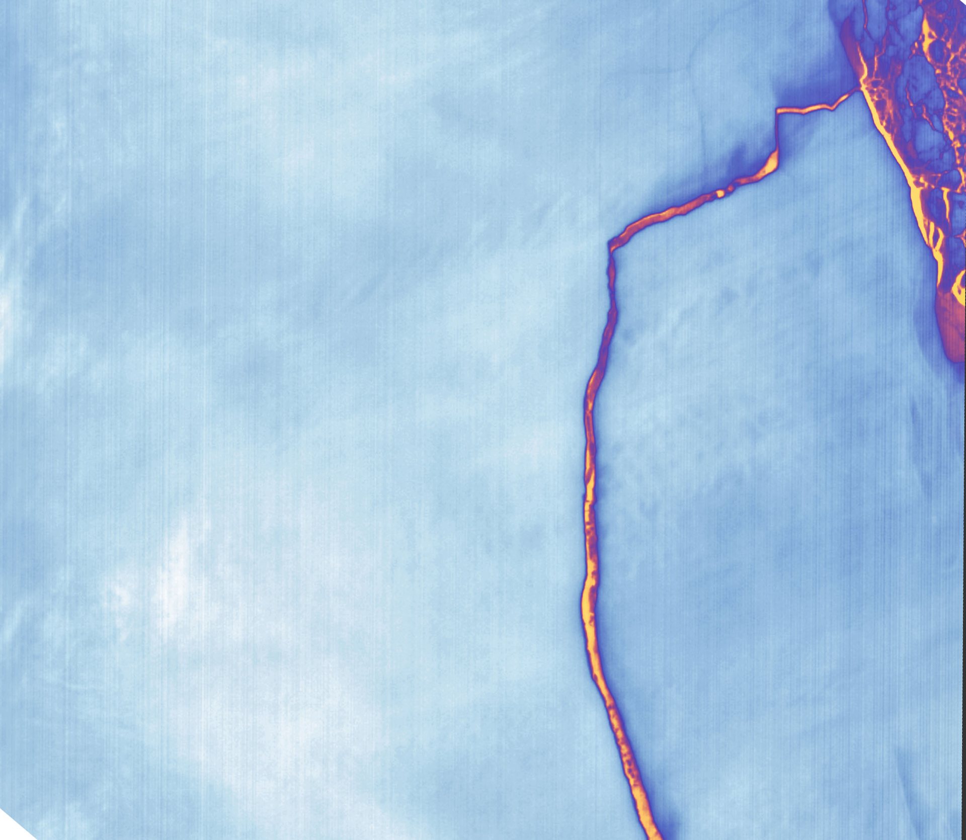
Image: NASA Earth Observatory image by Joshua Stevens, Landsat data from USGS (GSFC_20171208_Archive_e000021)
The European project Beyond EPICA – Oldest Ice drills Antarctic ice to read climate and environmental history (Beyond EPICA).
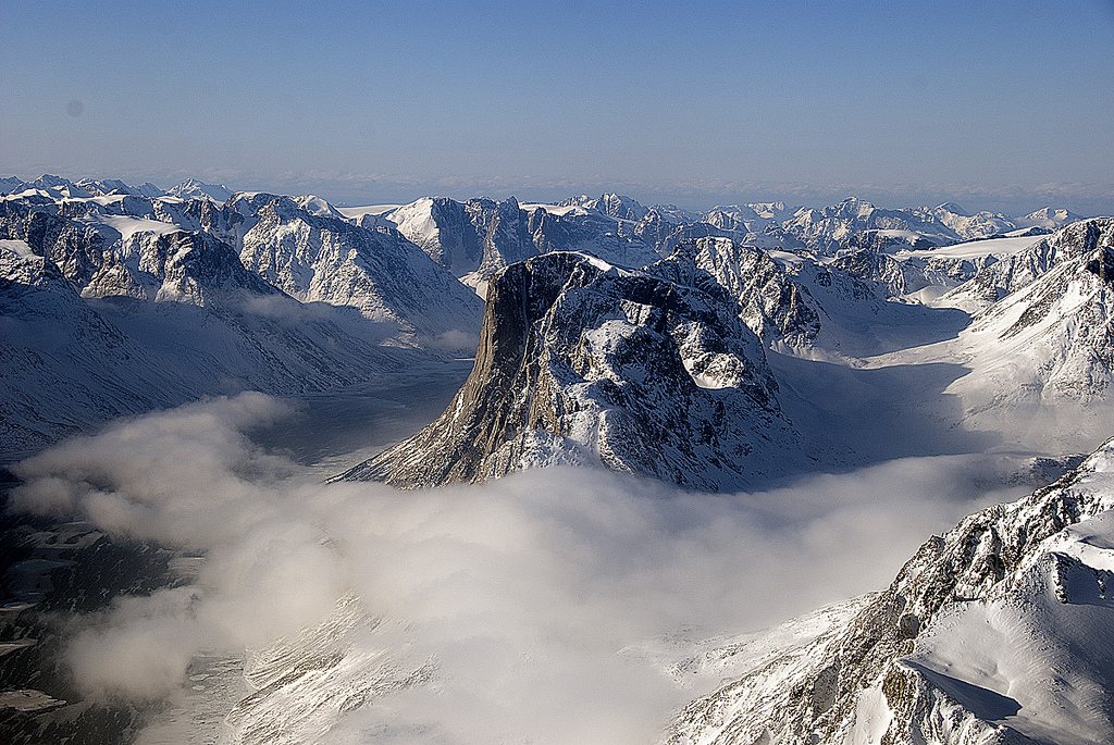
Image: NASA/GSFC/Michael Studinger (GSFC_20171208_Archive_e001911)
CAFF is the biodiversity working group of the Arctic Council (CAFF). Watching Arctic wildlife so changes are caught early.
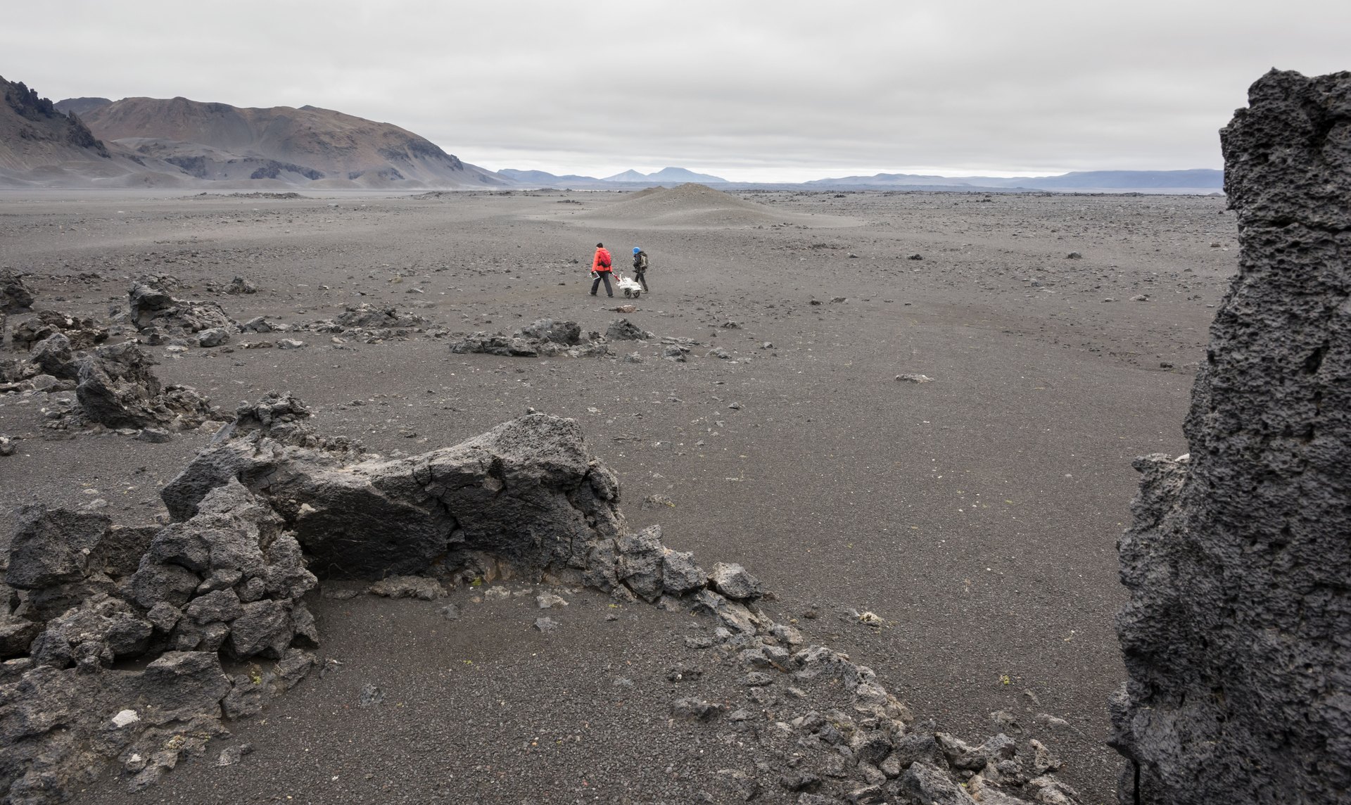
Image: NASA/James Blair (jsc2026e406058)
Carbfix dissolves carbon dioxide in water and injects it into basalt rock, where it turns into stone (company).
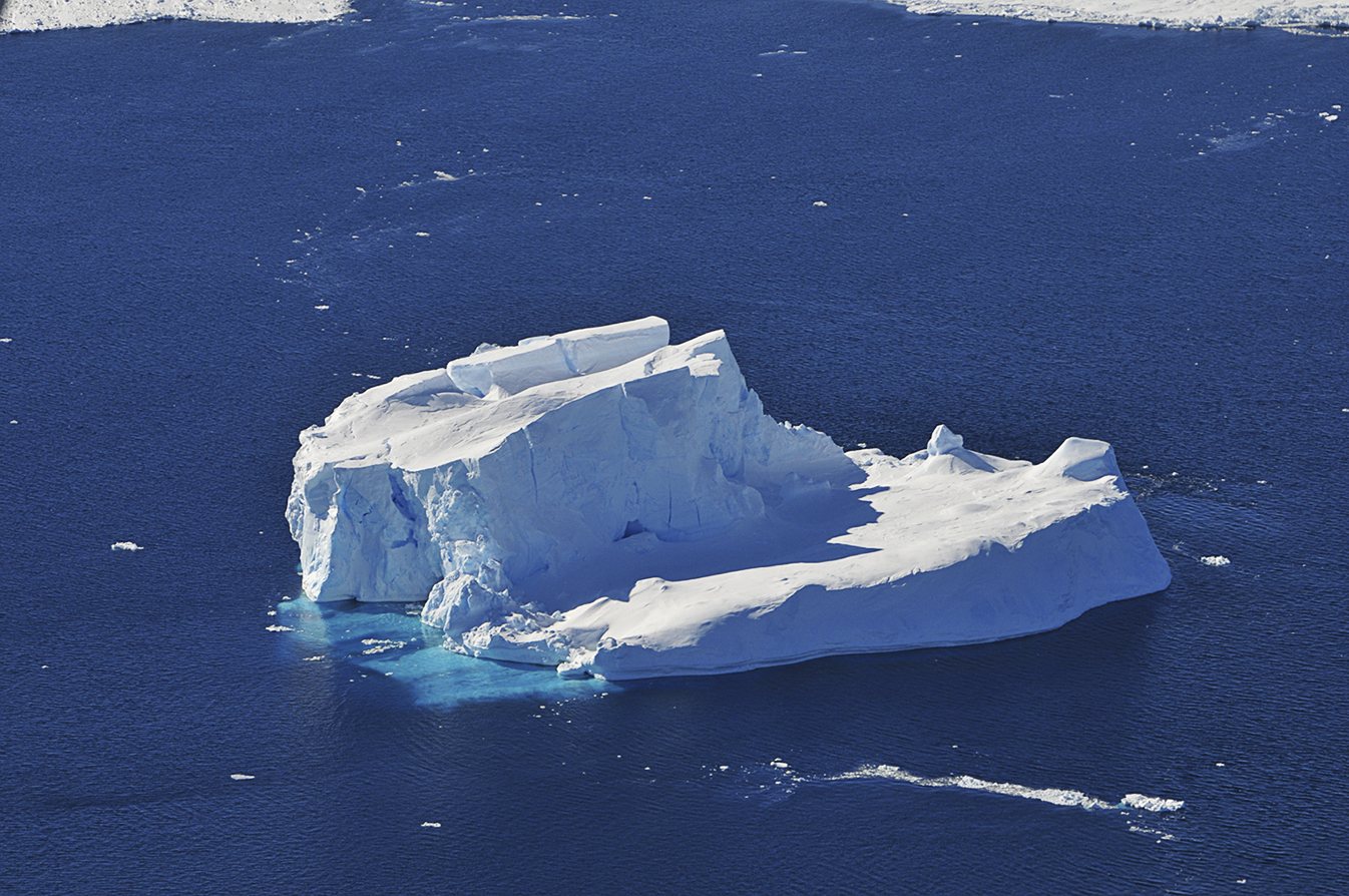
Image: NASA/Jane Peterson
CCAMLR manages Antarctic marine life with an ecosystem-based approach, allowing only sustainable harvesting that accounts for effects on the ecosystem (CCAMLR).
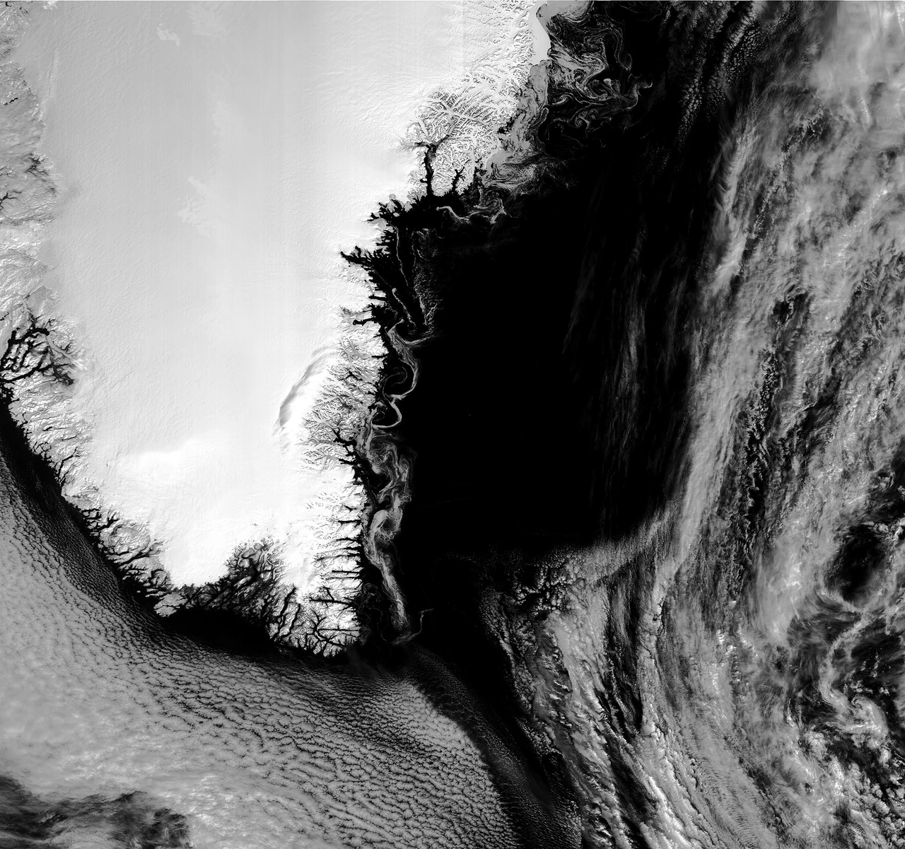
Image: contains modified Copernicus Sentinel data (2018), processed by EUMETSAT (CC BY-SA 3.0 IGO)
Two Copernicus satellites will measure sea ice, sea-surface temperature and salinity over 95% of the globe every day, with sub-daily polar views (ESA).
Also in: Earth Observation
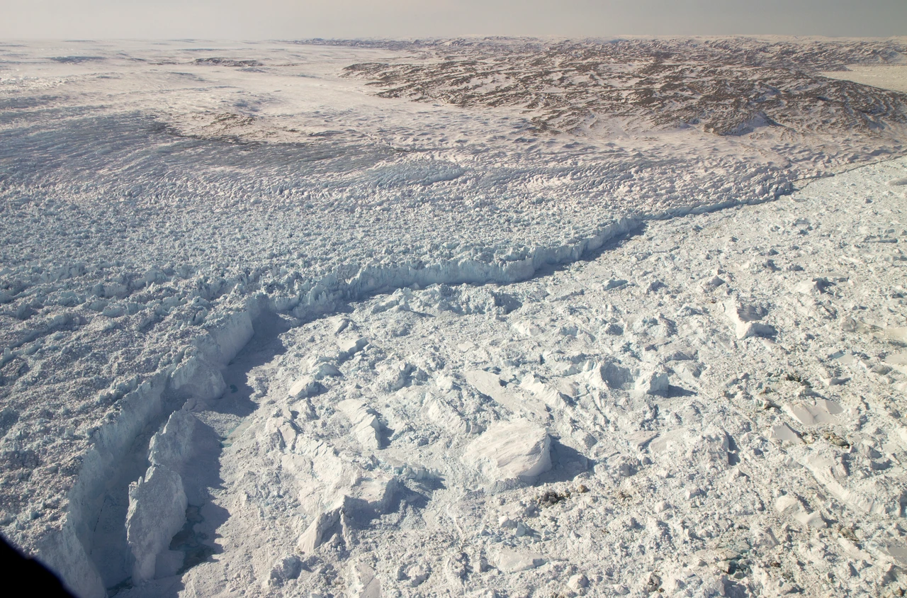
Image: NASA/GSFC/Jefferson Beck (GSFC_20171208_Archive_e001754)
CRISTAL will carry the first dual-frequency radar altimeter to measure polar sea-ice thickness and the snow on top, following ESA's CryoSat (ESA).
Also in: Earth Observation
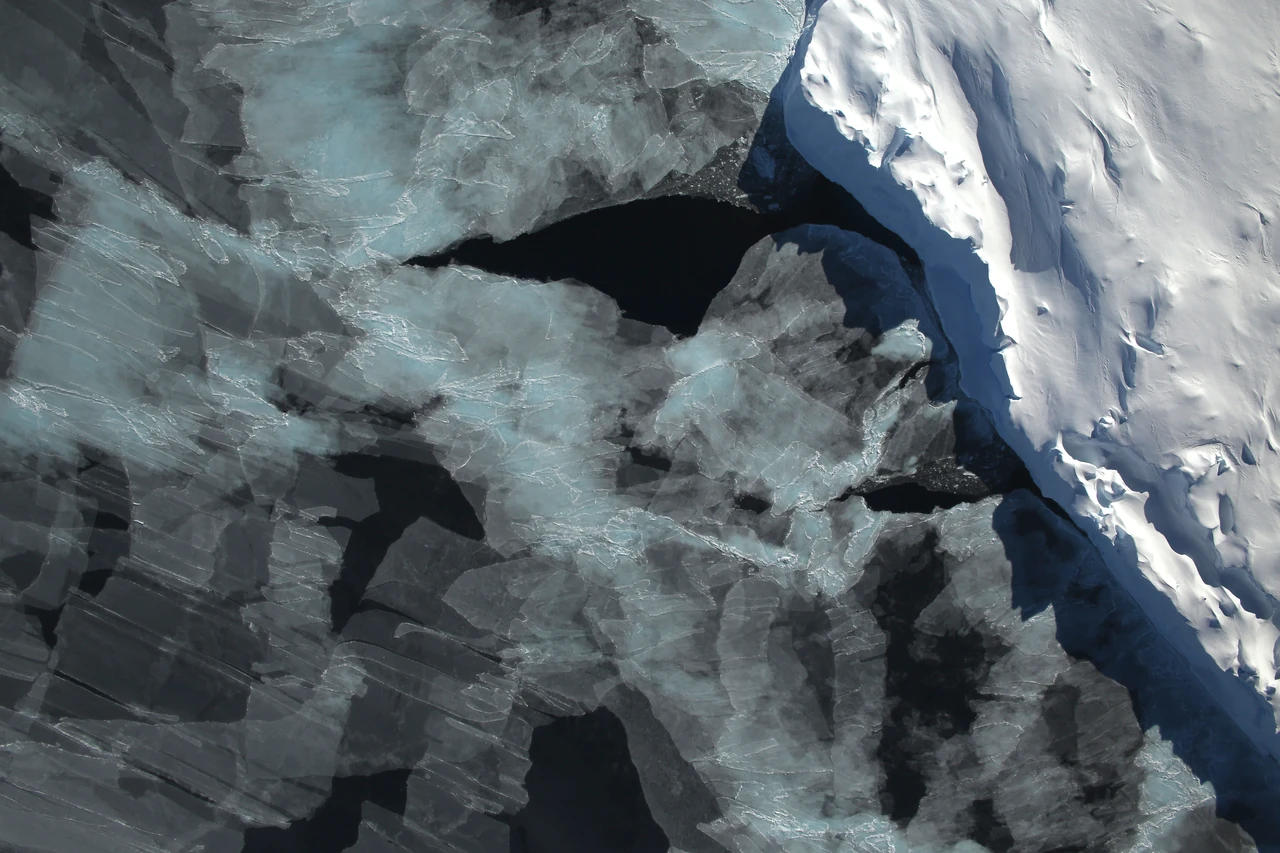
Image: NASA/Digital Mapping System (GSFC_20171208_Archive_e000907)
CryoSat measures polar sea ice and the great ice sheets from space, and its data revealed 85 hidden lakes under Antarctica (ESA).
Also in: Earth Observation
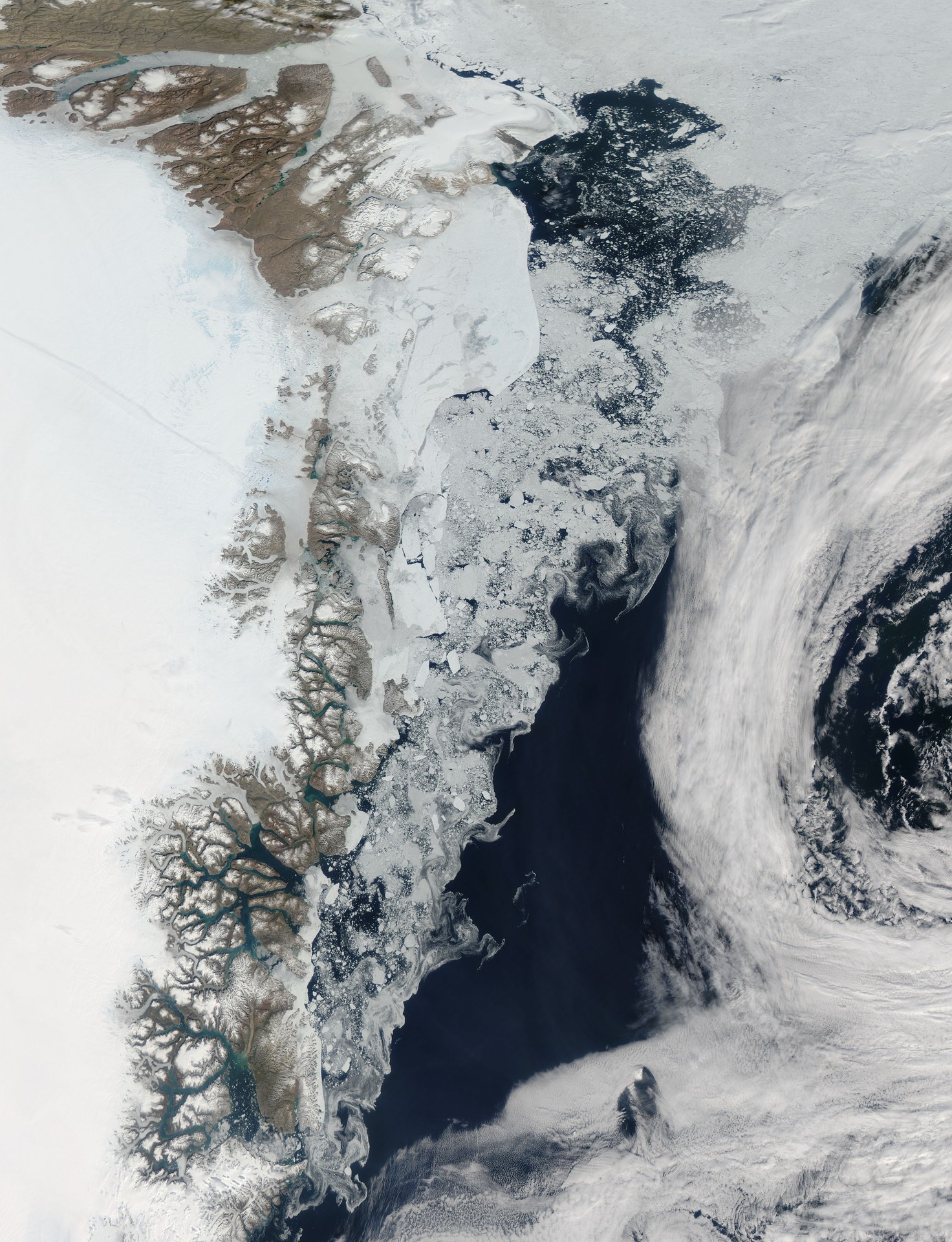
Image: NASA Goddard Space Flight Center
JAXA's SHIZUKU satellite, launched in 2012, measures sea ice, rain, snow and sea temperature through clouds, day and night (JAXA).
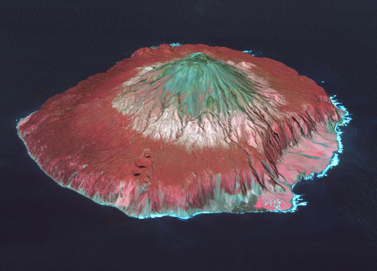
Image: NASA/METI/AIST/Japan Space Systems and U.S./Japan ASTER Science Team (PIA22506)
The RSPB-led Gough Island Restoration Programme tried in 2021 to remove the invasive mice that prey on seabirds.
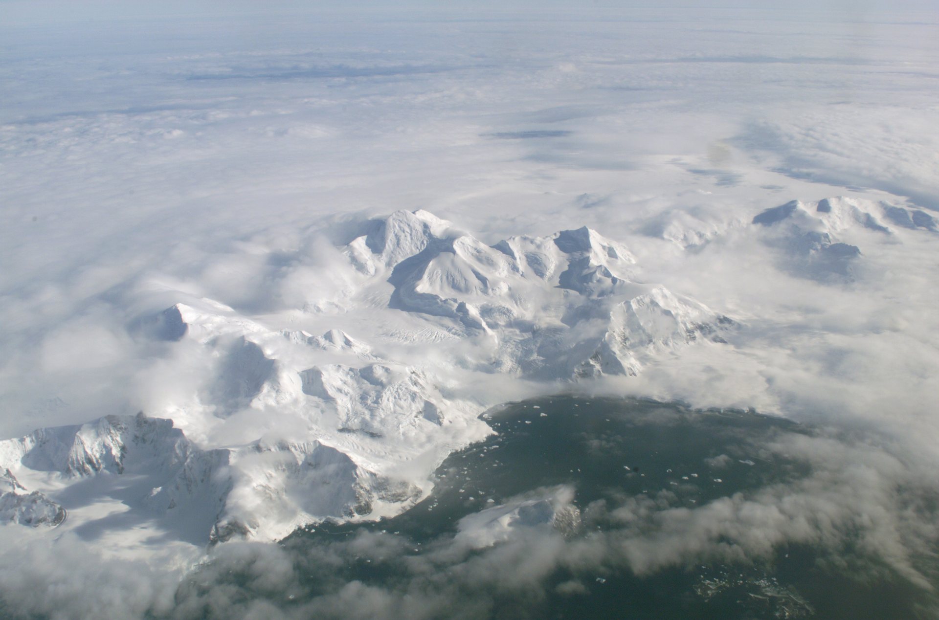
Image: NASA/Jim Ross
IAATO, founded in 1991, promotes safe and environmentally responsible private-sector travel to the Antarctic (IAATO).
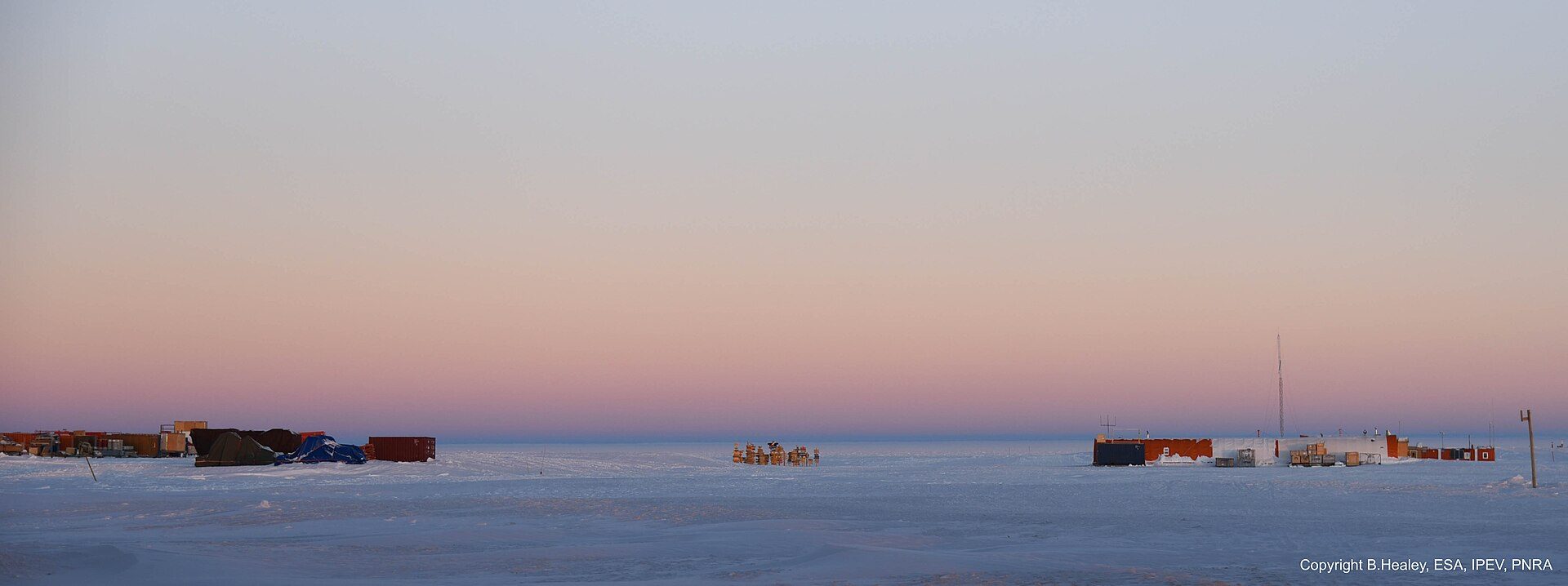
Image: B. Healey, ESA/IPEV/PNRA (CC BY-SA 2.0)
On 14 January 2026, the Ice Memory Sanctuary opened at Concordia Station: a 35-meter cave in the Antarctic ice, about −52 °C, with no mechanical refrigeration.
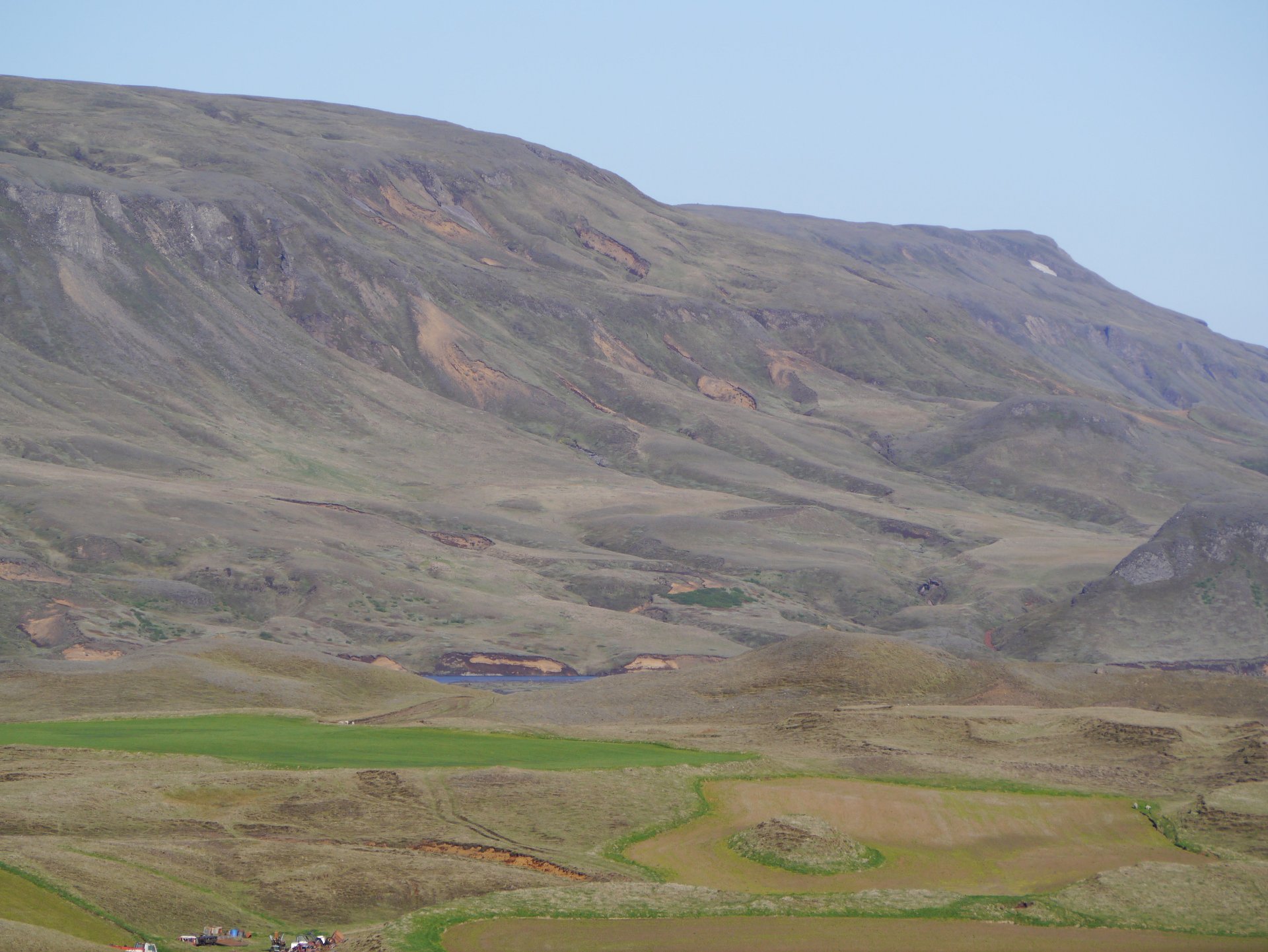
Image: Zairon via Wikimedia Commons (CC BY-SA 3.0)
Since 1907, Iceland's soil conservation agency, now Land and Forest Iceland, has worked with farmers to halt erosion and restore land (Government of Iceland).
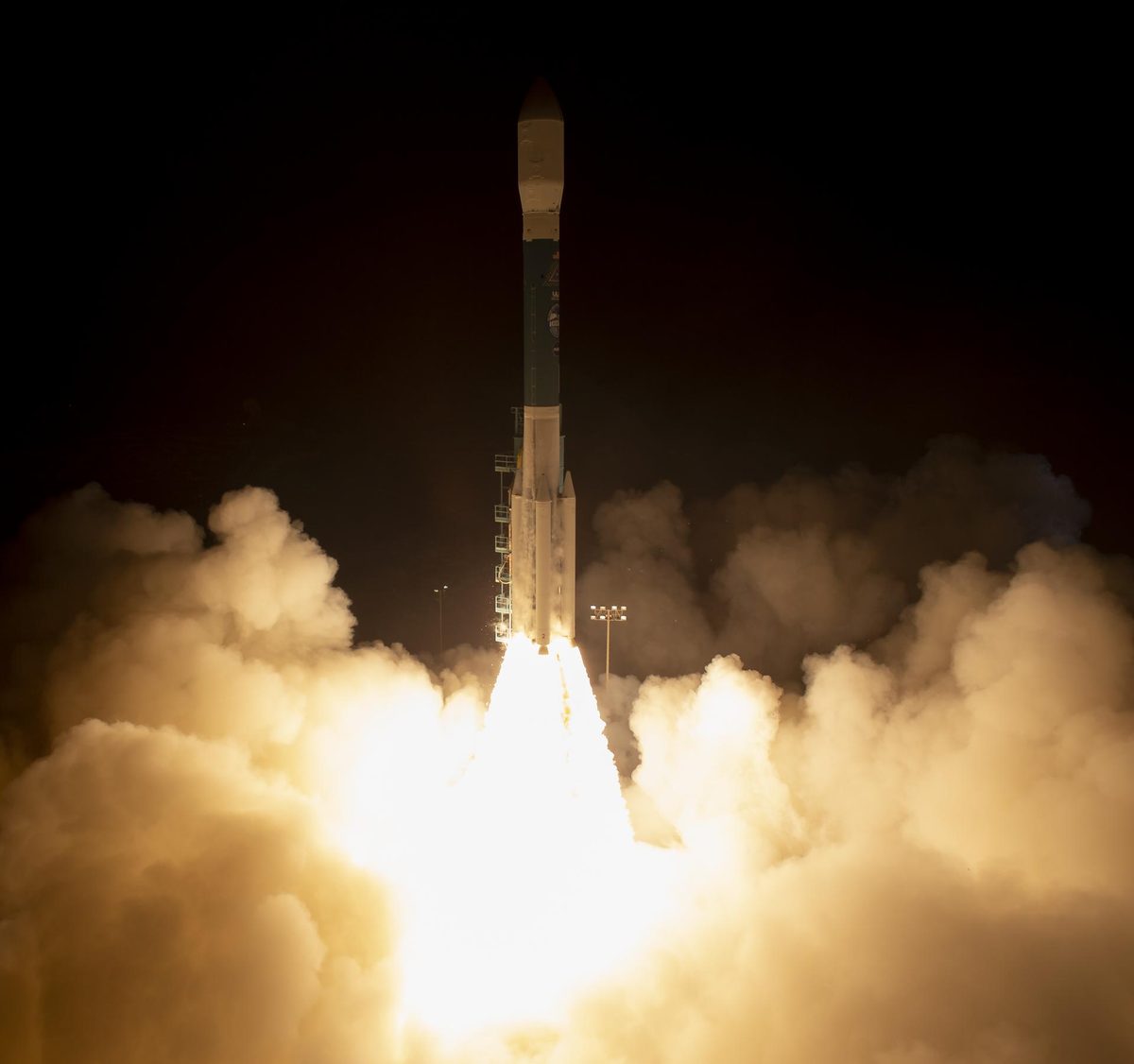
Image: NASA/Bill Ingalls (NHQ201809150011)
NASA's ICESat-2 laser fires 10,000 pulses a second to measure ice sheets, sea ice, forests and coastal seafloor in 3D. Active.
Also in: Earth Observation
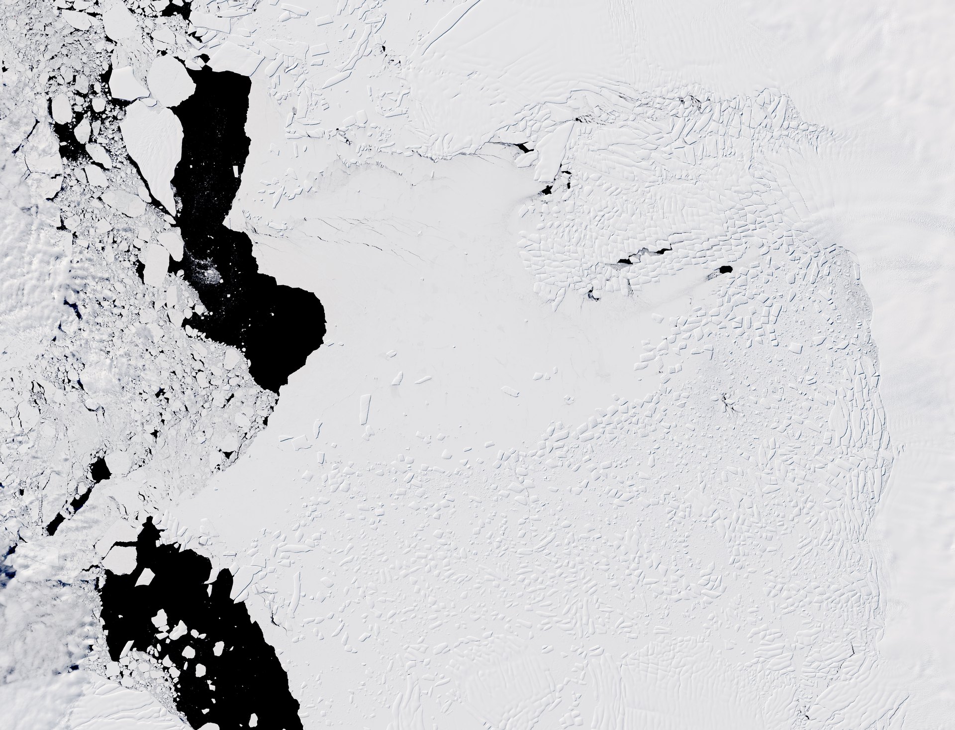
Image: NASA Earth Observatory/Lauren Dauphin, Landsat 8 data from USGS
About 100 scientists from the UK, US, South Korea, Germany and Sweden are working out how fast Antarctica's Thwaites Glacier could raise sea levels (ITGC).
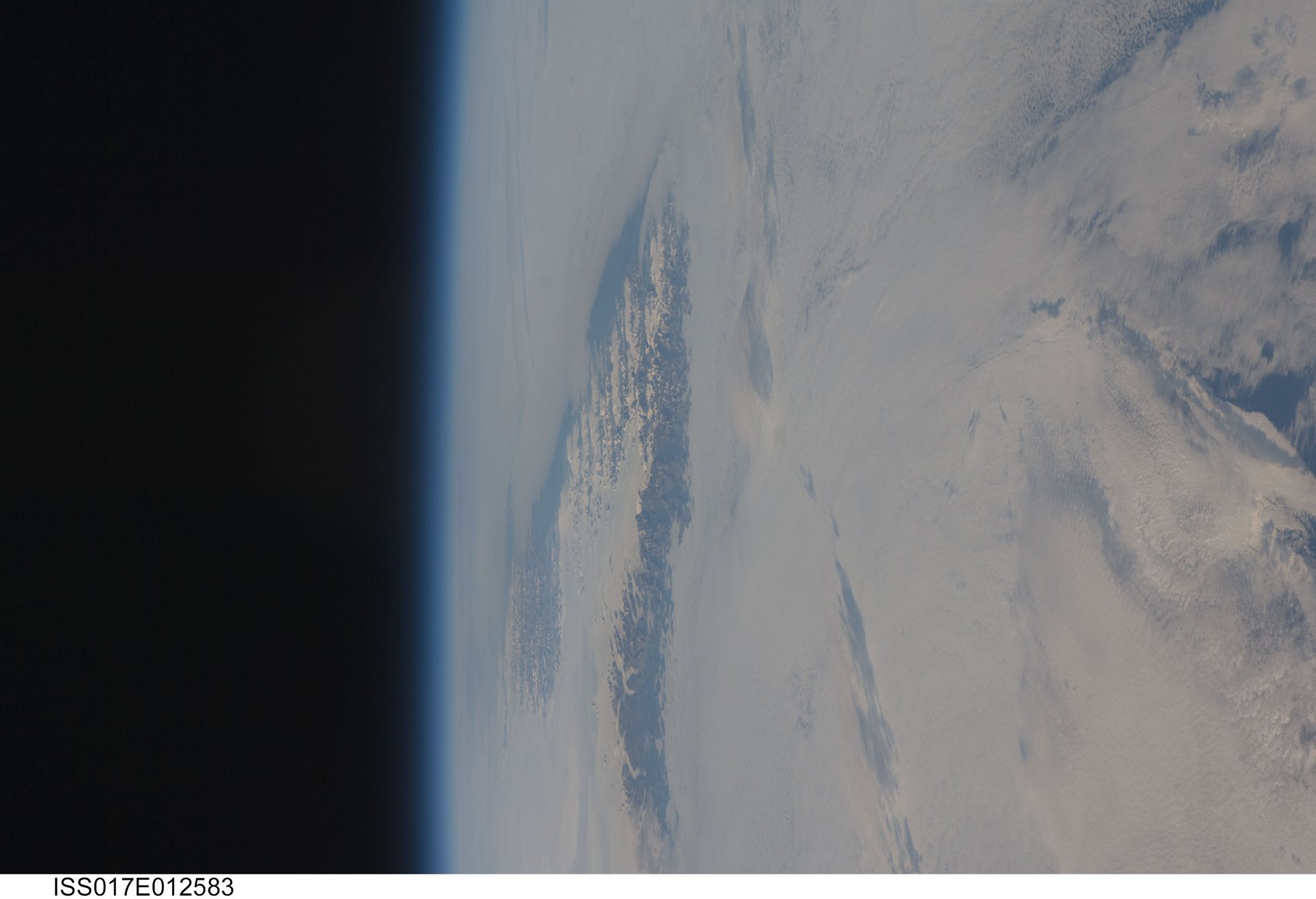
Image: NASA (ISS017-E-012583)
Founded in 1977, the Inuit Circumpolar Council brings Inuit rights and priorities to the international level (ICC).
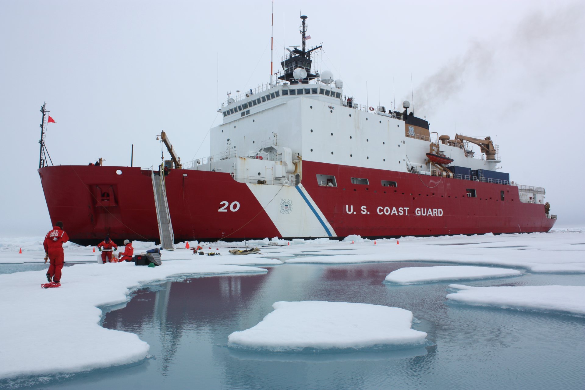
Image: NASA/Kathryn Hansen (GSFC_20171208_Archive_e001722)
MOSAiC was the first year-round expedition into the central Arctic to study its climate system (MOSAiC).
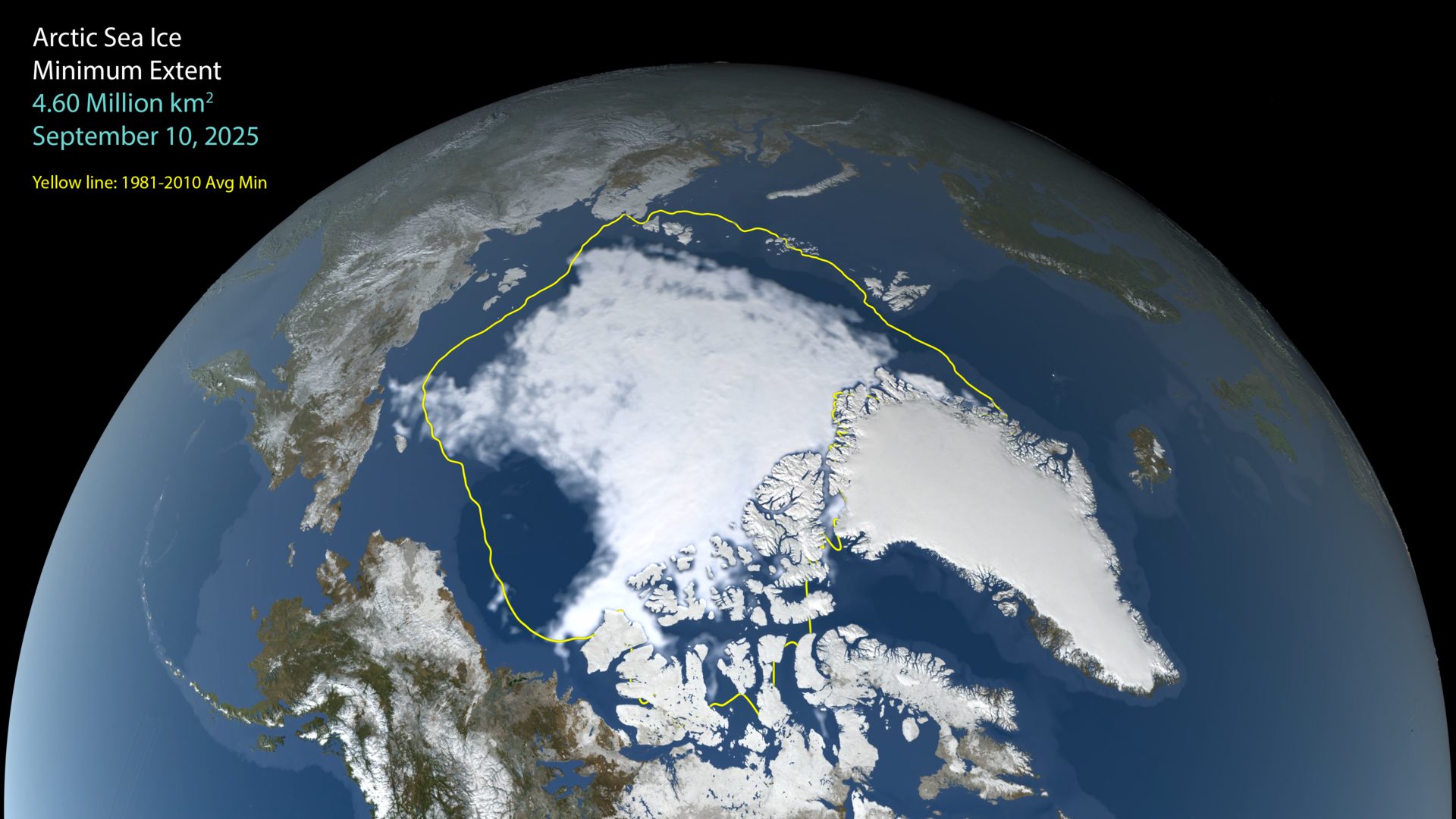
Image: NASA Scientific Visualization Studio (public domain)
✨ New solution
Arctic sea ice reached its 2026 minimum of 4.60 million km² on Sept 12. The last 20 years are the 20 lowest in the satellite record.
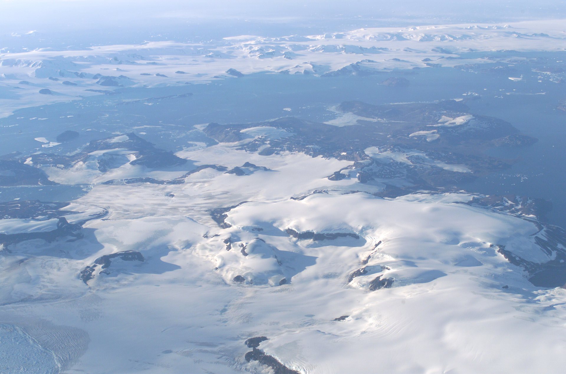
Image: NASA/Jim Ross
For more than 30 years, Oceanites has tracked penguin populations on the rapidly warming Antarctic Peninsula and shares the data openly (Oceanites).
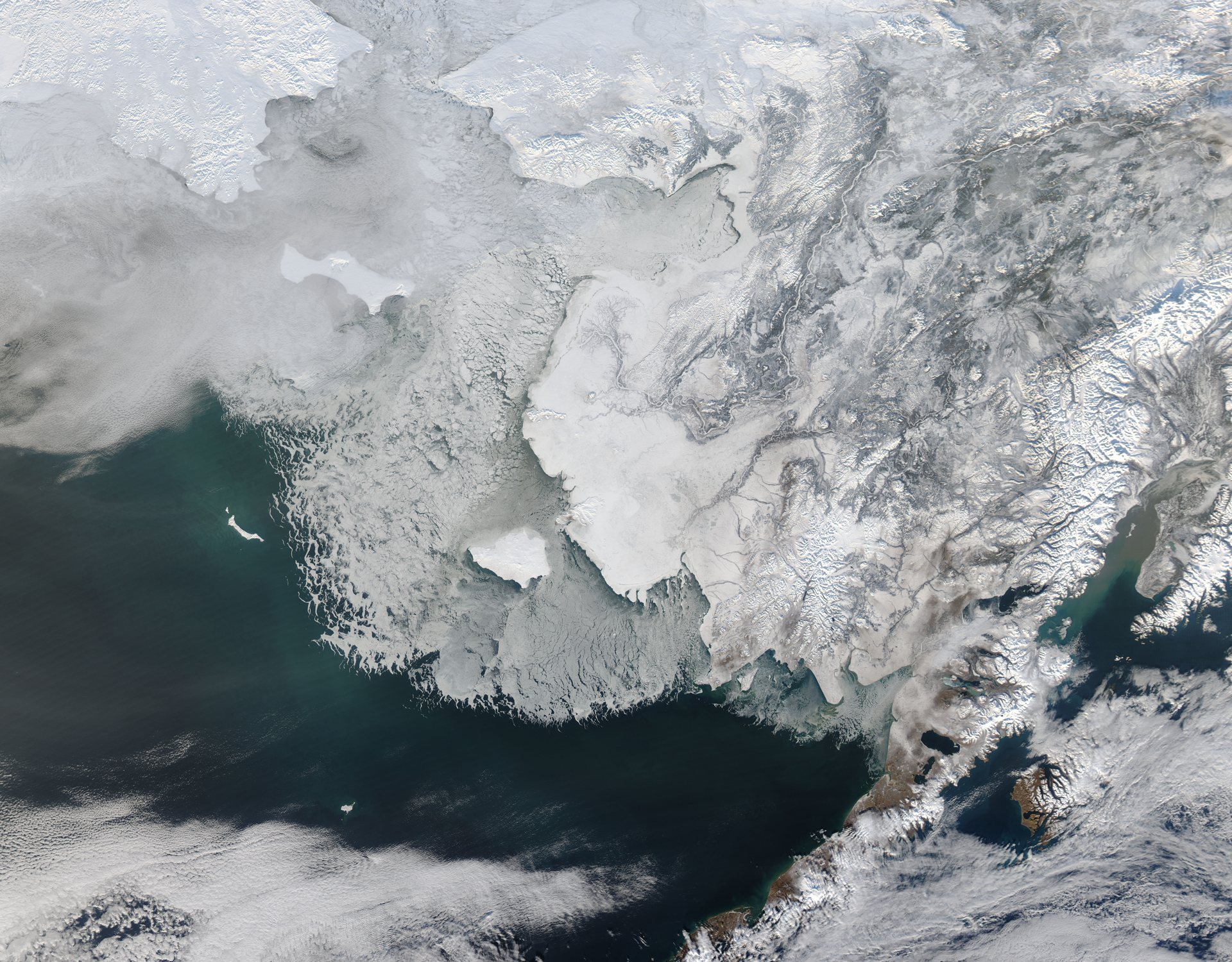
Image: NASA/GSFC/Jeff Schmaltz, MODIS Land Rapid Response Team (GSFC_20171208_Archive_e000769)
PAME is the Arctic Council working group for the protection and sustainable use of the Arctic marine environment (PAME).
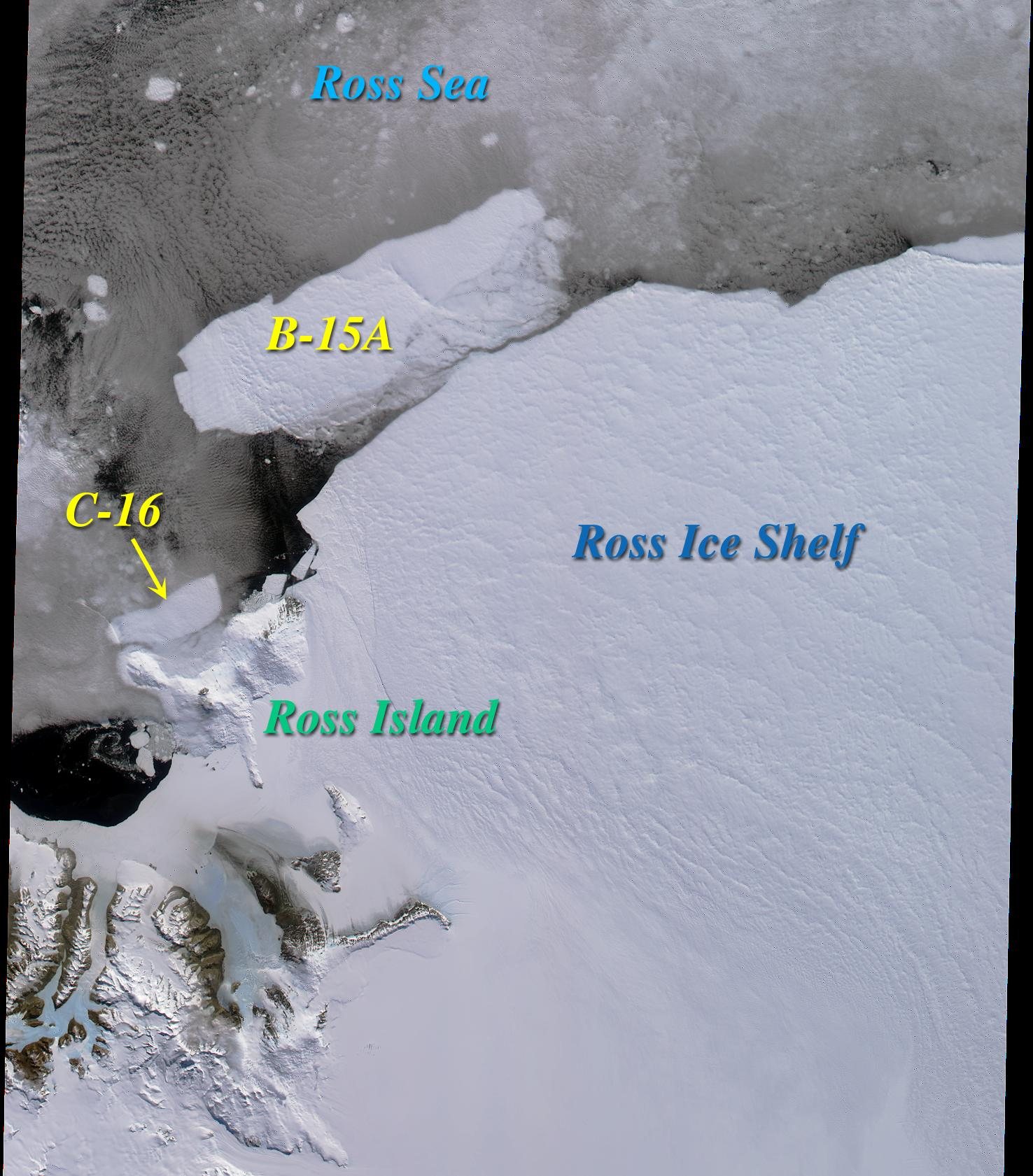
Image: NASA/GSFC/JPL, MISR Team (PIA02639)
On Penguin Watch, anyone online counts penguin adults, chicks and eggs in camera photos to help scientists understand their lives and environment (Zooniverse).
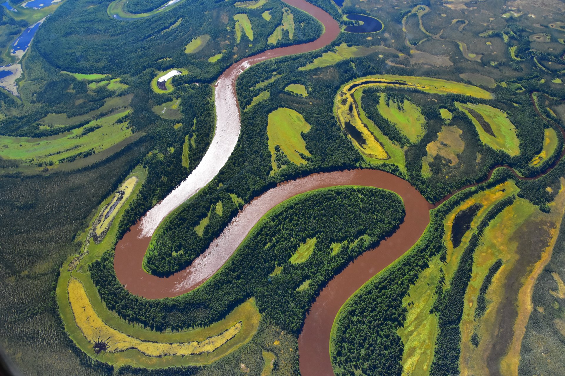
Image: NASA/Peter Griffith (GSFC_20171208_Archive_e000002)
Permafrost Pathways connects science, people and policy to address Arctic permafrost thaw and support affected communities (Permafrost Pathways).
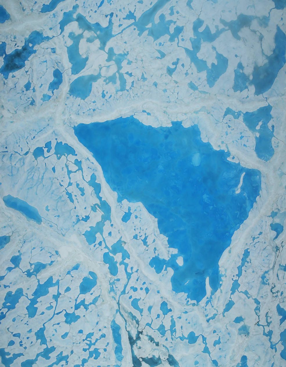
Image: NASA/Operation IceBridge (GSFC_20171208_Archive_e000266)
Polar Bears International works through research, policy and on-the-ground conservation to protect polar bears and their sea-ice habitat.
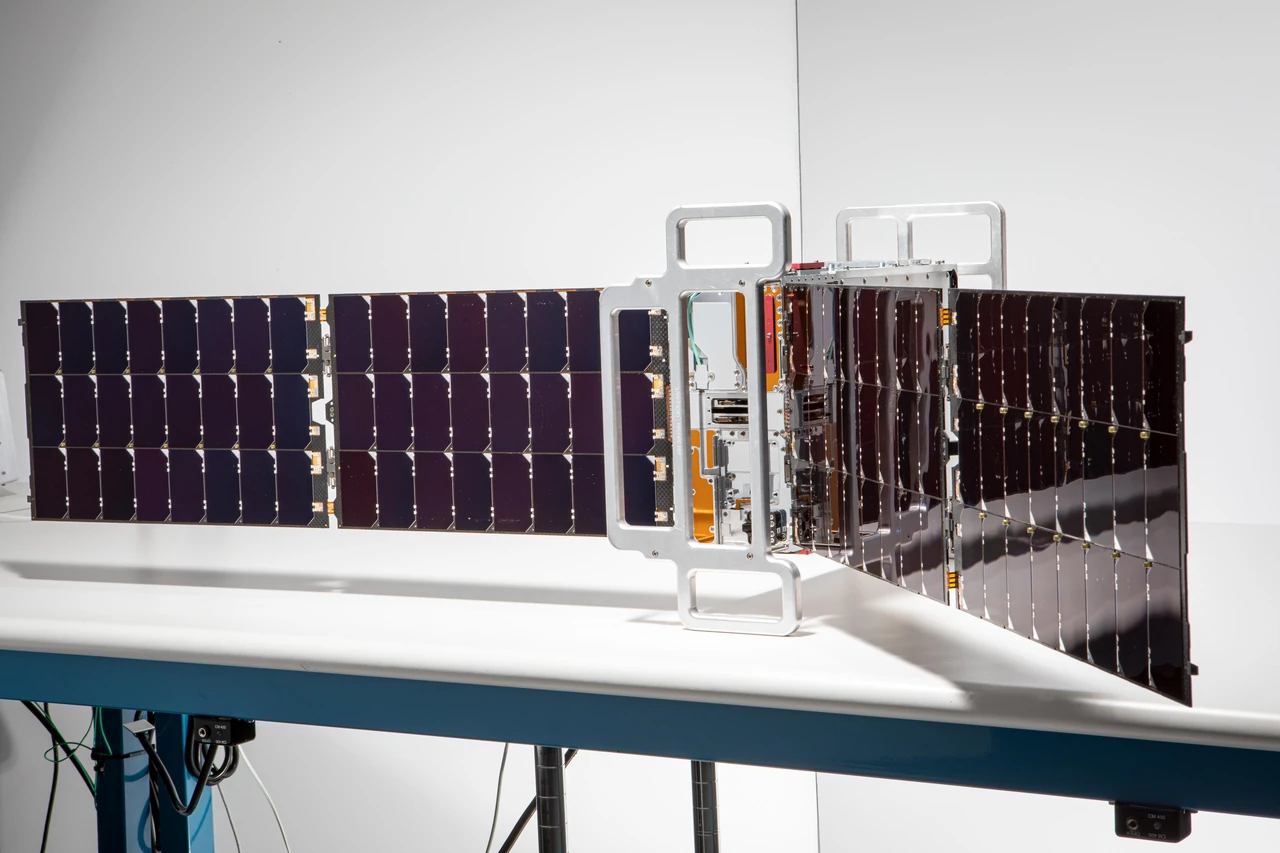
Image: NASA/JPL-Caltech (PIA26186)
Two shoebox-size NASA satellites measure the far-infrared heat that Earth's poles send into space (NASA JPL). Last reviewed: October 2026 · 4 sources cited
Also in: Earth Observation
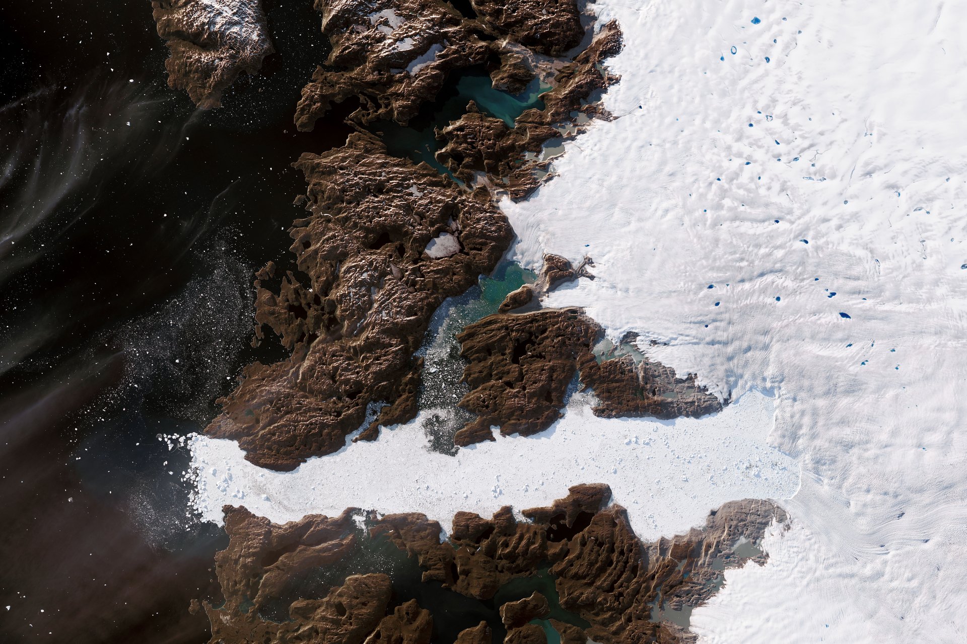
Image: NASA Earth Observatory/Joshua Stevens, Landsat data from USGS
PROMICE and GC-Net put automatic weather stations on the Greenland ice sheet and share the data openly (PROMICE).
Image: U.S. Department of State
New Zealand and the United States won unanimous agreement to protect the Ross Sea, and the MPA entered into force on 1 December 2017 (NZ MFAT).
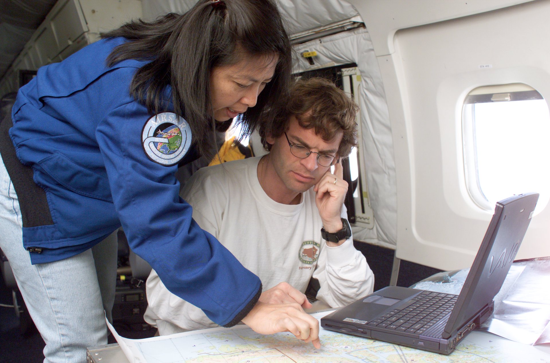
Image: NASA/Jim Ross
SCAR initiates, develops and coordinates international scientific research in the Antarctic region, including the Southern Ocean (SCAR).
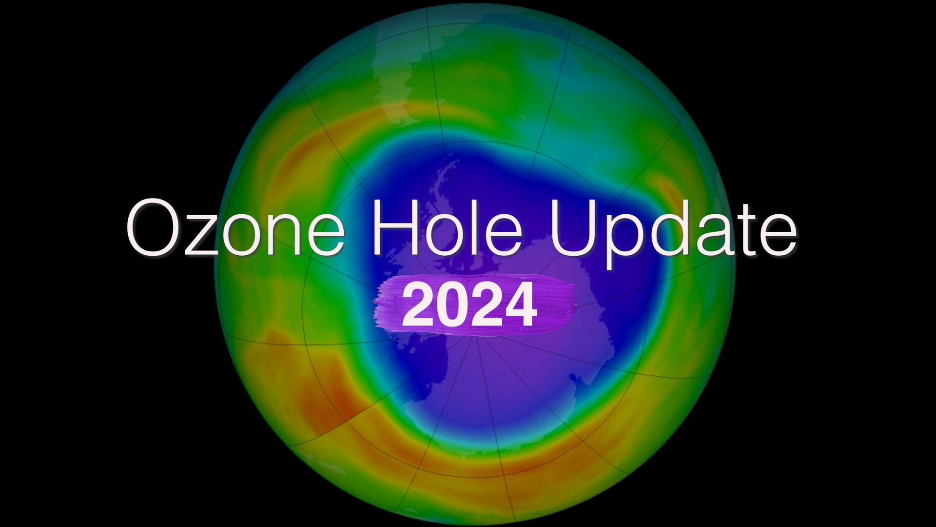
Image: NASA Scientific Visualization Studio
Canada's 150 kg SCISAT has measured the chemistry of the ozone layer since 2003, with a special focus on Canada and the Arctic (CSA).
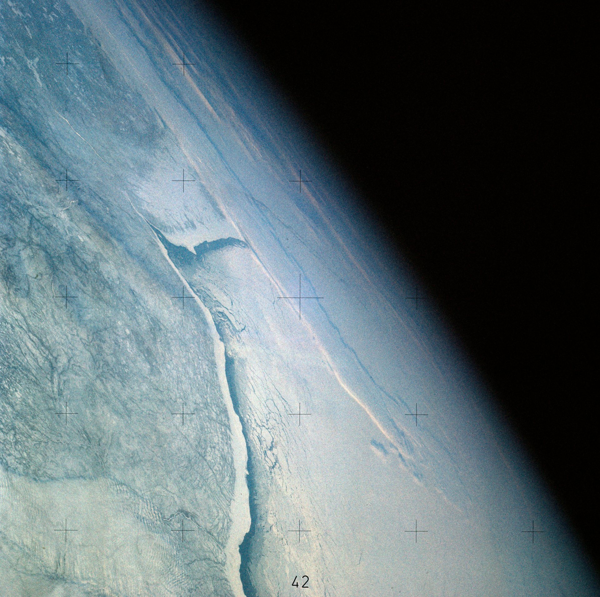
Image: NASA (SL4-141-4316)
SmartICE combines Indigenous and local knowledge of ice with sensors and satellite mapping to give near real-time ice-thickness information for safe travel.
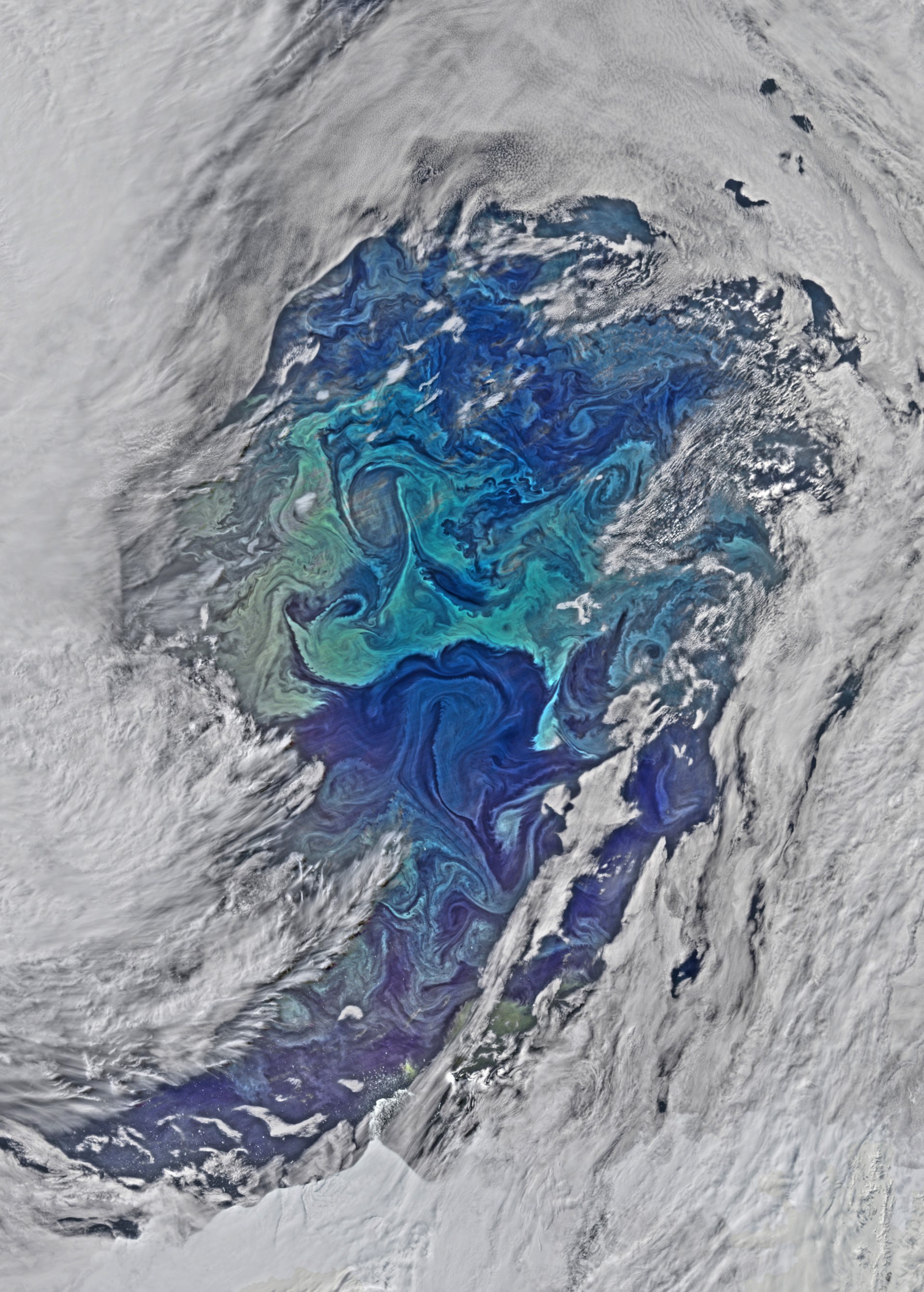
Image: NASA OceanColor/Suomi NPP/VIIRS (GSFC_20171208_Archive_e000750)
SOCCOM is a multi-institutional program focused on the Southern Ocean and its influence on climate, using floats and models (SOCCOM).
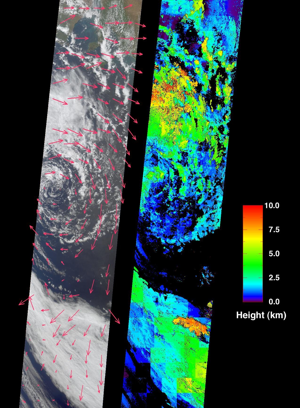
Image: NASA/GSFC/LaRC/JPL, MISR Team (PIA03430)
SOOS facilitates and enhances global Southern Ocean observations by coordinating fieldwork and sharing data (SOOS).
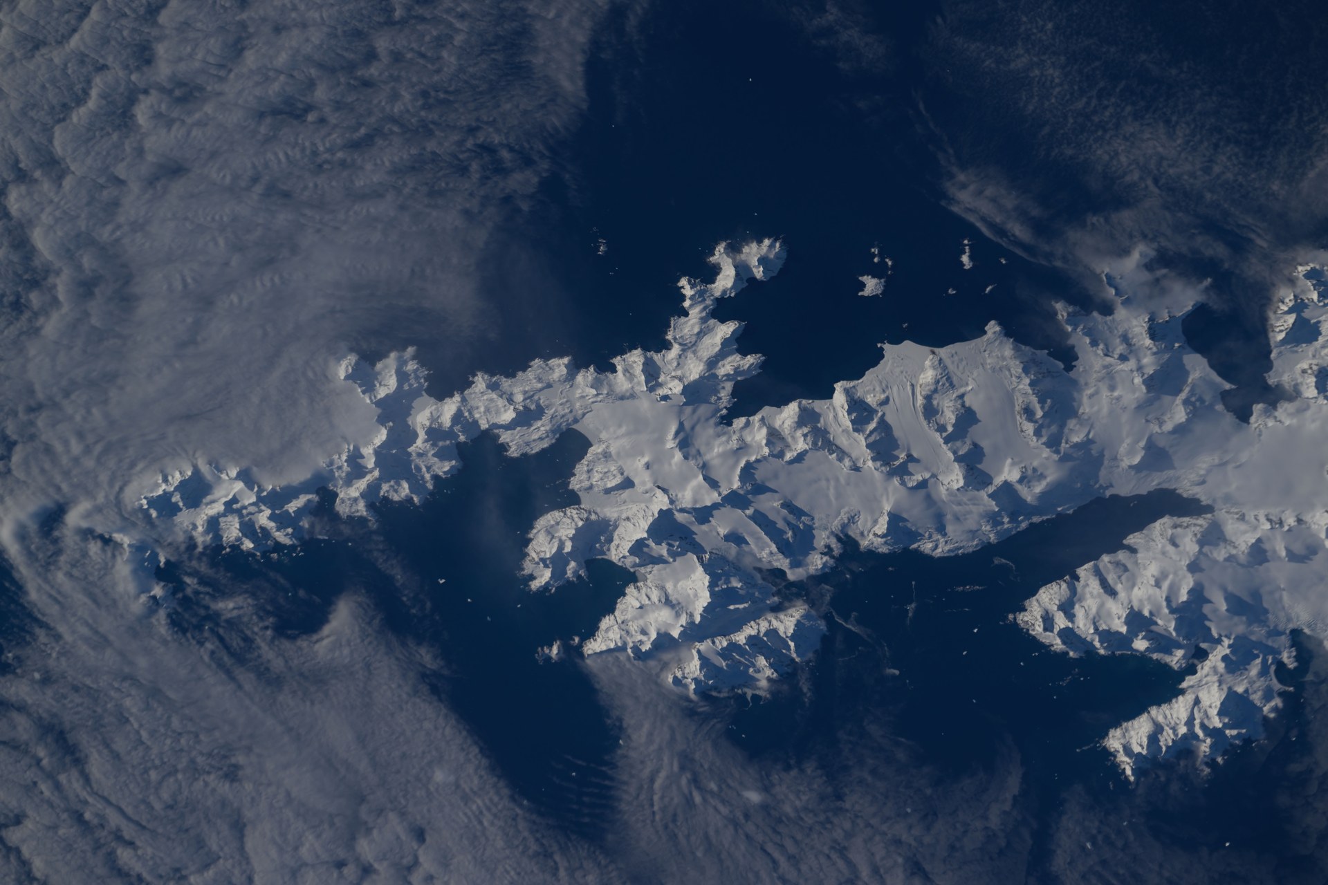
Image: NASA (ISS071-E-581850)
Two charities raised £10 million to clear rats and mice from South Georgia, and on 8 May 2018 the island was declared rodent-free (SGHT).
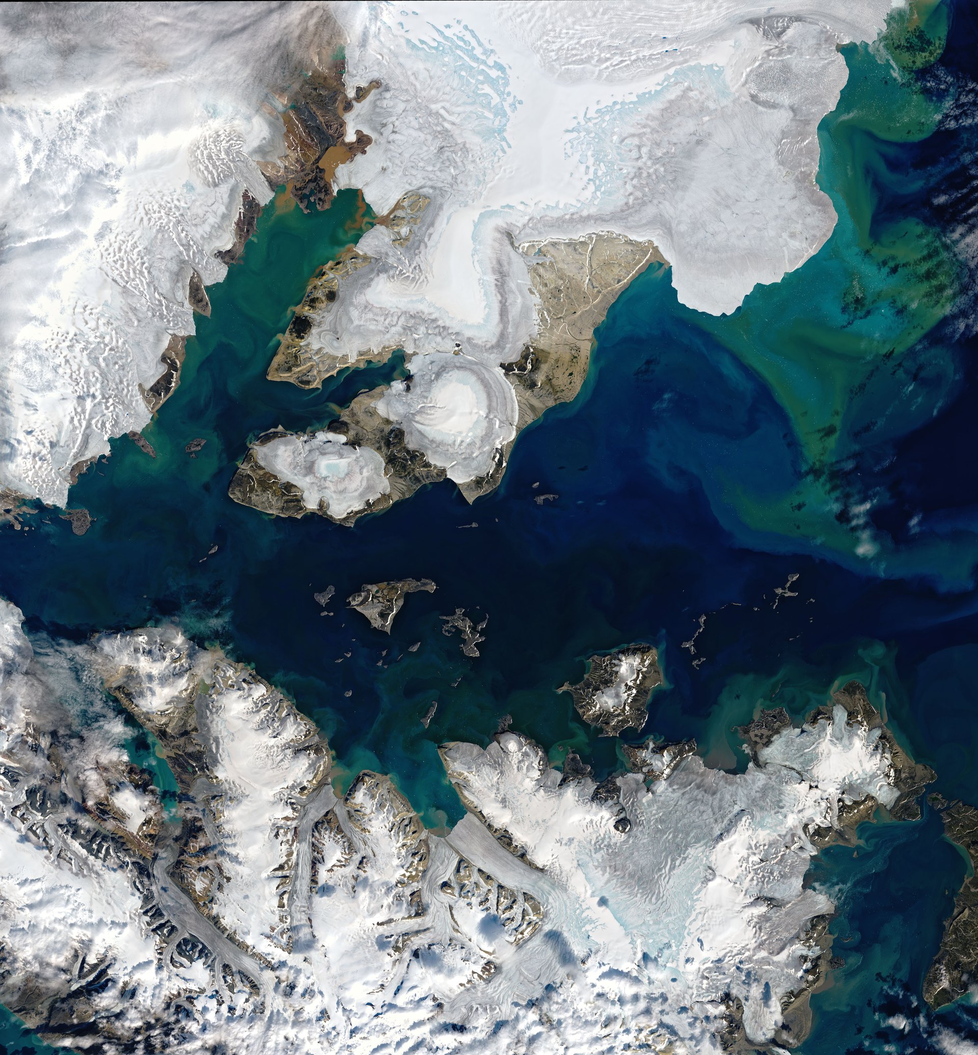
Image: NASA Earth Observatory/Joshua Stevens, Landsat 9 data from USGS
The Svalbard Global Seed Vault stores backup copies of the world's crop seeds free of charge, more than 100 metres inside an Arctic mountain (Seed Vault).
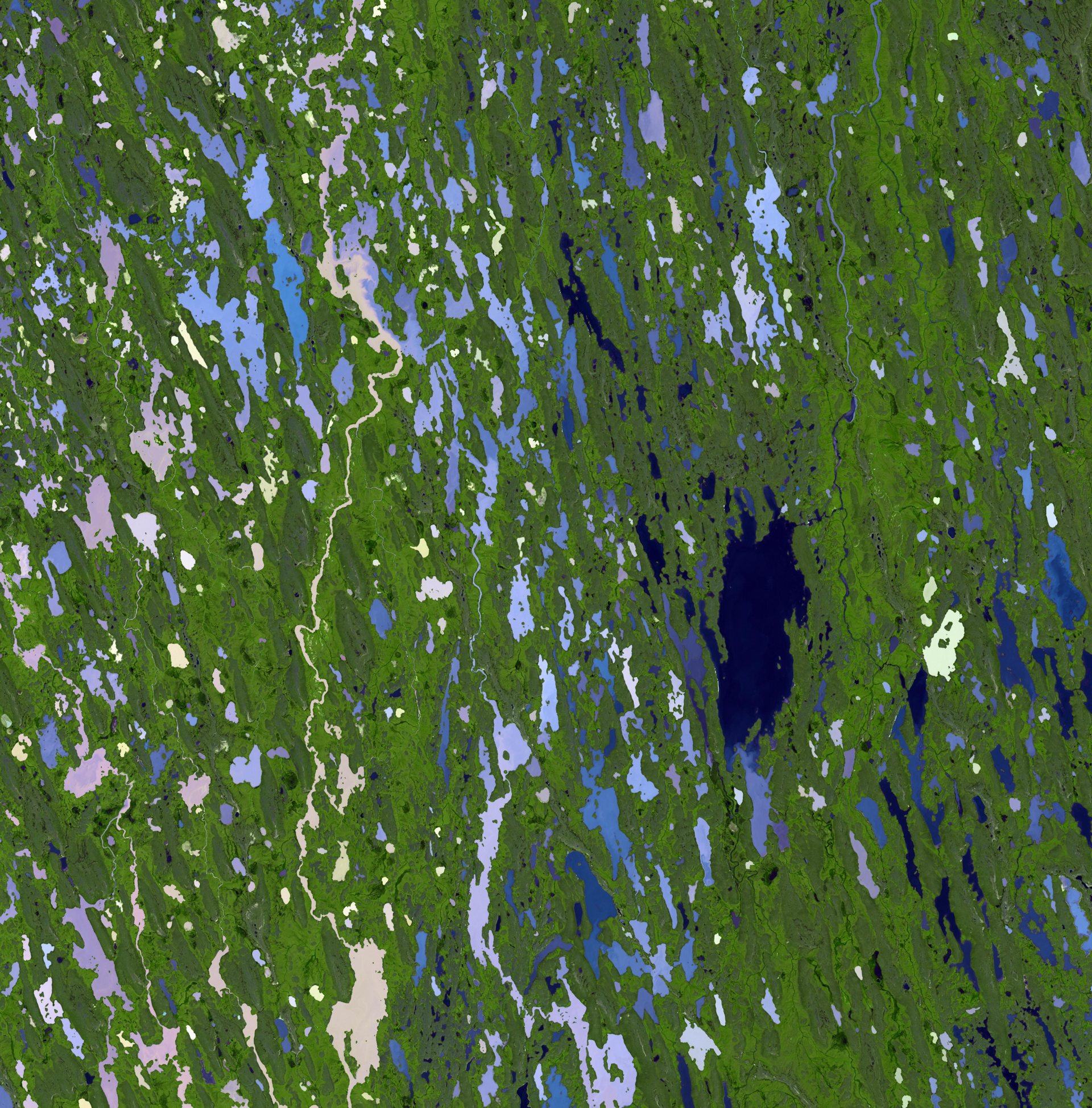
Image: NASA/GSFC/METI/ERSDAC/JAROS and U.S./Japan ASTER Science Team (PIA13963)
Tallurutiup Imanga, in Nunavut, protects Arctic waters where narwhals live alongside thousands of seabirds, next to Inuit communities (Parks Canada).
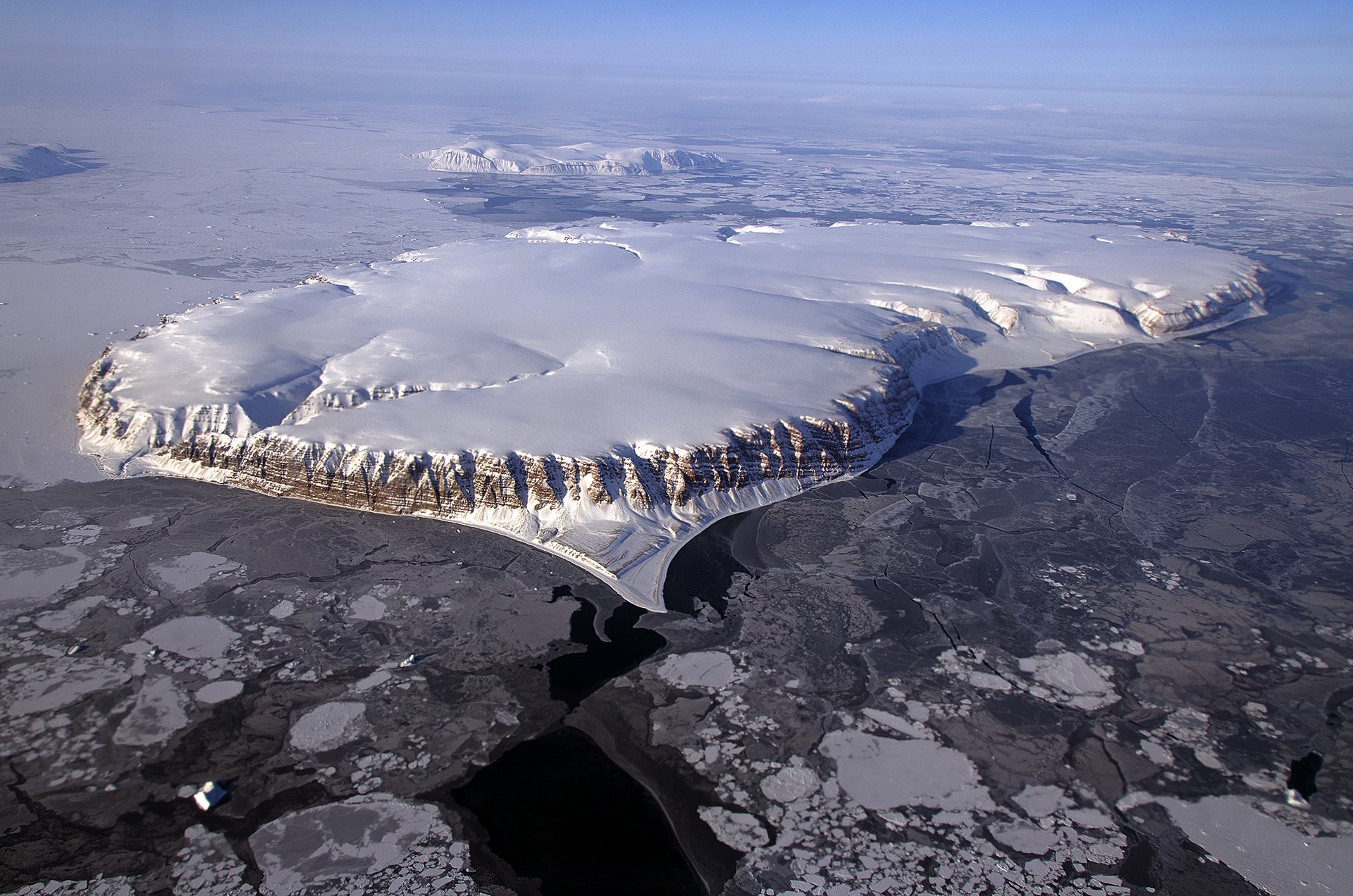
Image: NASA/Michael Studinger (GSFC_20171208_Archive_e001514)
Since 1992, WWF's Global Arctic Programme has worked for a well-managed, biodiverse and resilient Arctic (WWF Arctic).
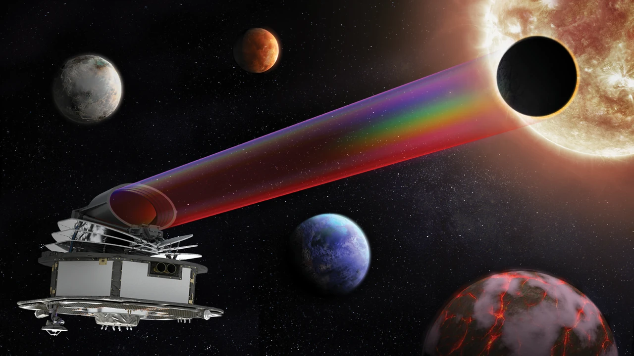
Image: ESA (CC BY-SA 3.0 IGO)
ESA's Ariel will study the atmospheres of a thousand planets orbiting other stars, revealing what they are made of (ESA).
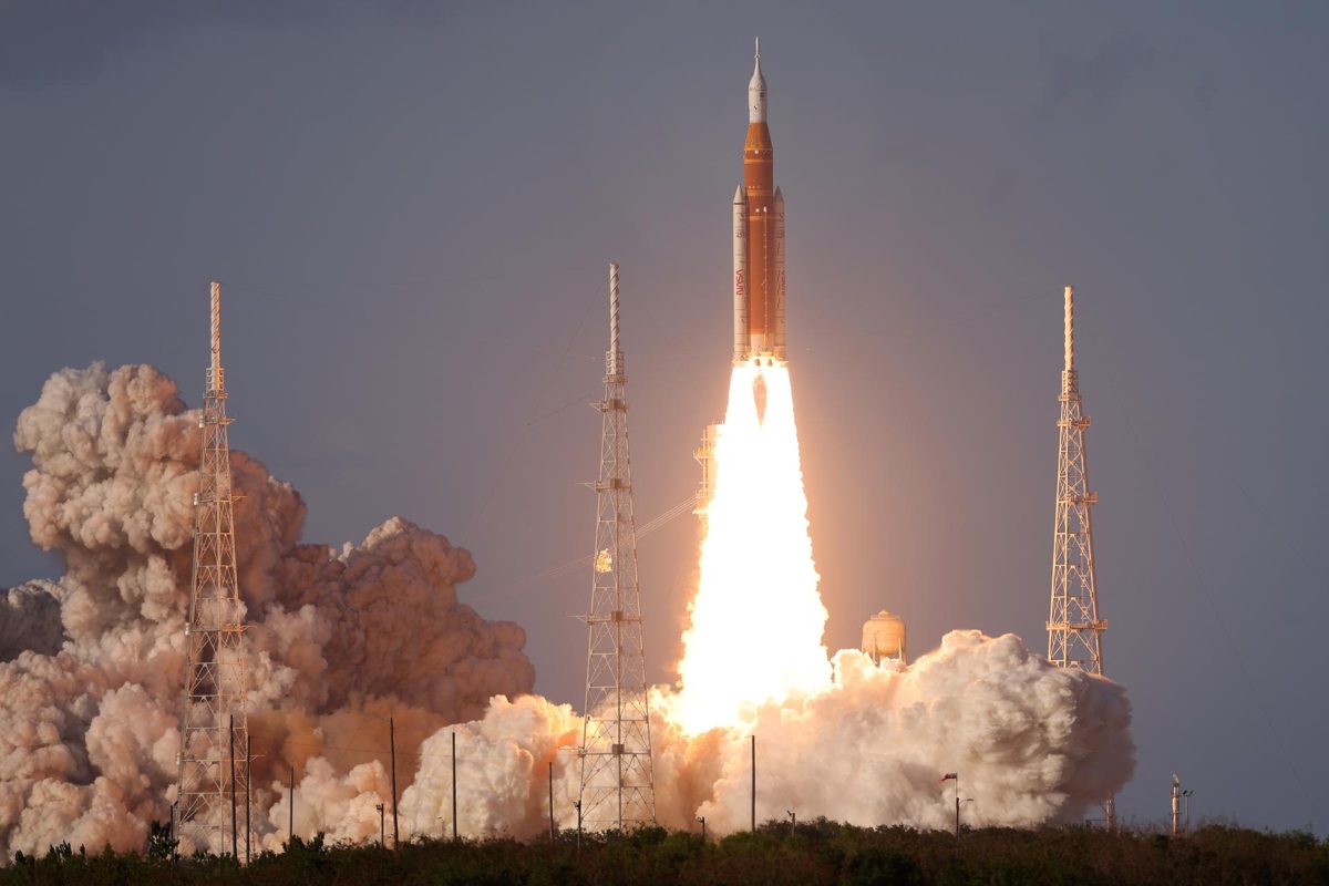
Image: NASA
NASA's Artemis program: Artemis I flew in 2022, Artemis II carried four astronauts 252,756 miles from Earth in April 2026, and Artemis III is targeted for 2027.
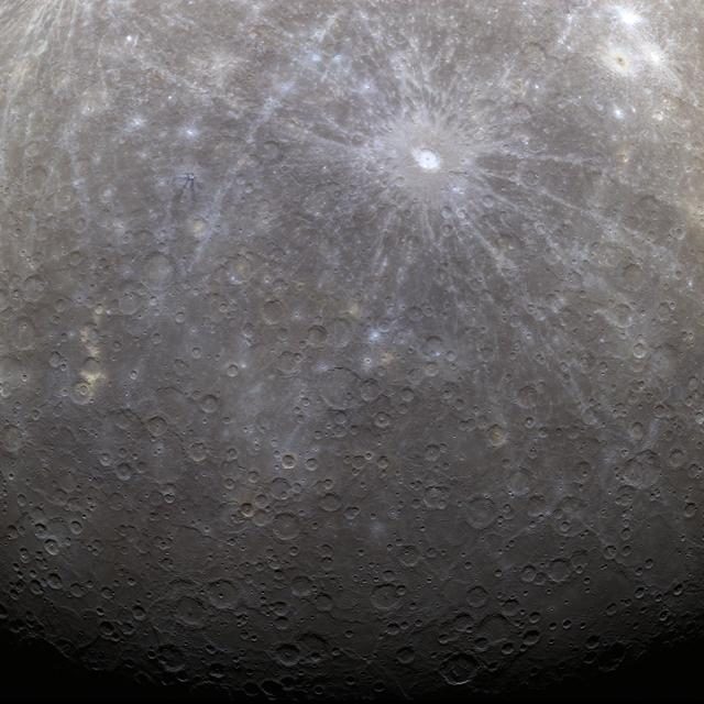
Image: NASA/JHUAPL/Carnegie Institution of Washington
After eight years in space, BepiColombo enters orbit around Mercury on 21 November 2026, the first mission to put two spacecraft there (ESA).
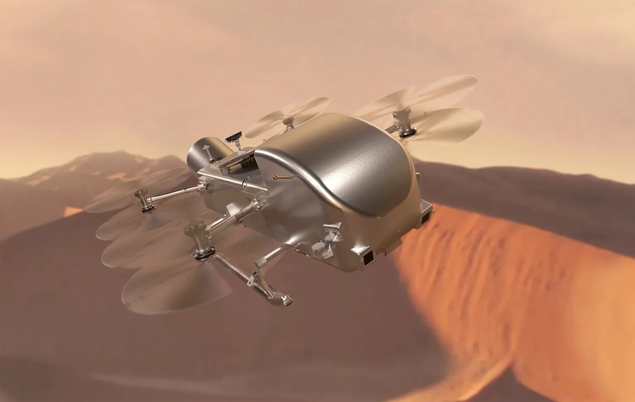
Image: Steve Gribben/NASA/Johns Hopkins APL (public domain)
NASA's Dragonfly is a car-size rotorcraft that will fly across Saturn's moon Titan to study the chemistry that came before life (NASA).
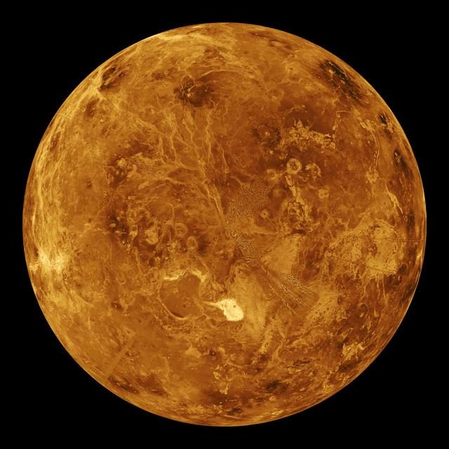
Image: NASA/JPL (PIA00271)
ESA's EnVision will study Venus from its inner core to its upper atmosphere, and may show how a planet like ours got so hot.
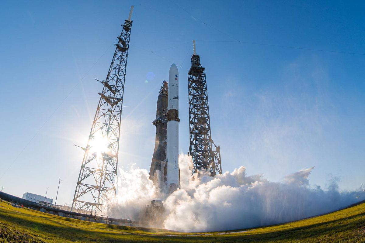
Image: Blue Origin via NASA (KSC-20251113-PH-BLU01_0007)
NASA's twin ESCAPADE spacecraft will study how the solar wind strips Mars' atmosphere, after an Earth slingshot in fall 2026.
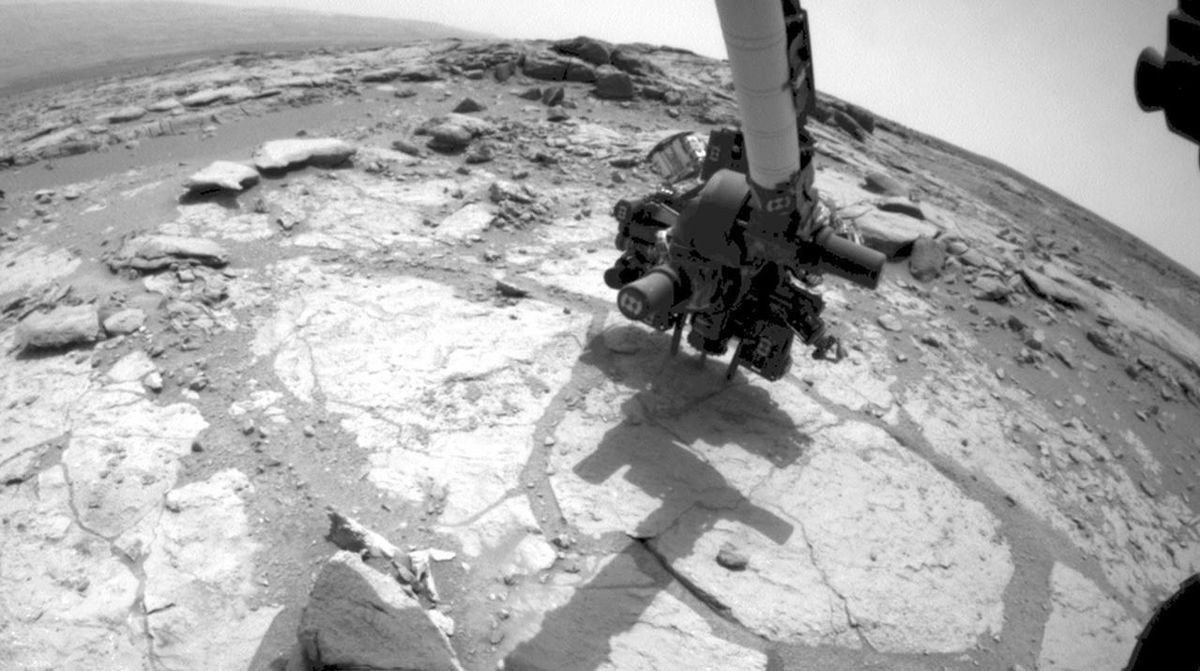
Image: NASA/JPL-Caltech (PIA17068)
Europe's first Mars rover, Rosalind Franklin, will drill 2 meters down to look for signs of past life, targeting launch in 2028.
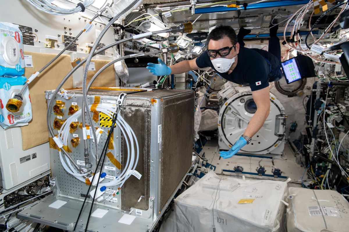
Image: NASA/Thomas Pesquet (iss065e333421)
The space station now recycles 98% of the water its crews bring along, thanks to a Brine Processor Assembly, technology that matters wherever water is scarce.

Image: NASA/Sydney Rohde
NASA's Roman telescope launched Aug 30, 2026 to L2: Hubble-sharp images 100x wider, a census of planetary systems, first images by early 2027.
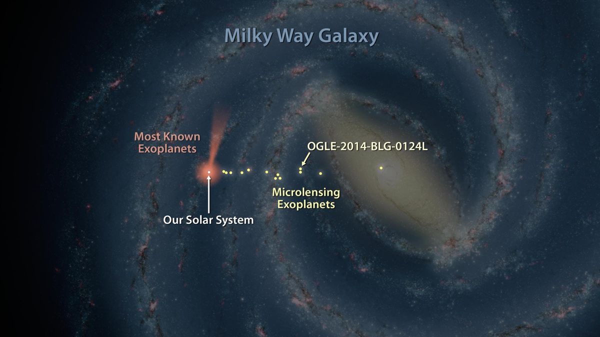
Image: NASA/JPL-Caltech (PIA19333)
ESA's Plato will use 26 cameras to hunt for Earth-like planets around Sun-like stars, with launch planned for March 2027 on Ariane 6.
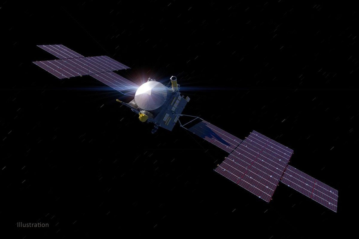
Image: NASA/JPL-Caltech/ASU (PIA24473)
NASA's Psyche used a Mars flyby on 15 May 2026 to head for a metal-rich asteroid it will orbit from August 2029, to learn what a planet's core is like.
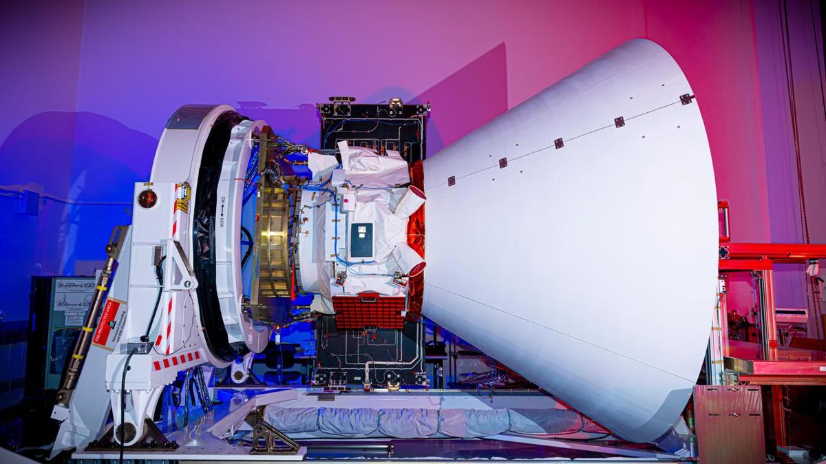
Image: NASA/JPL-Caltech/BAE Systems (PIA26537)
Launched 11 March 2025, NASA's SPHEREx maps the whole sky in 102 infrared colors and finished its first all-sky map in 2025 (NASA JPL).
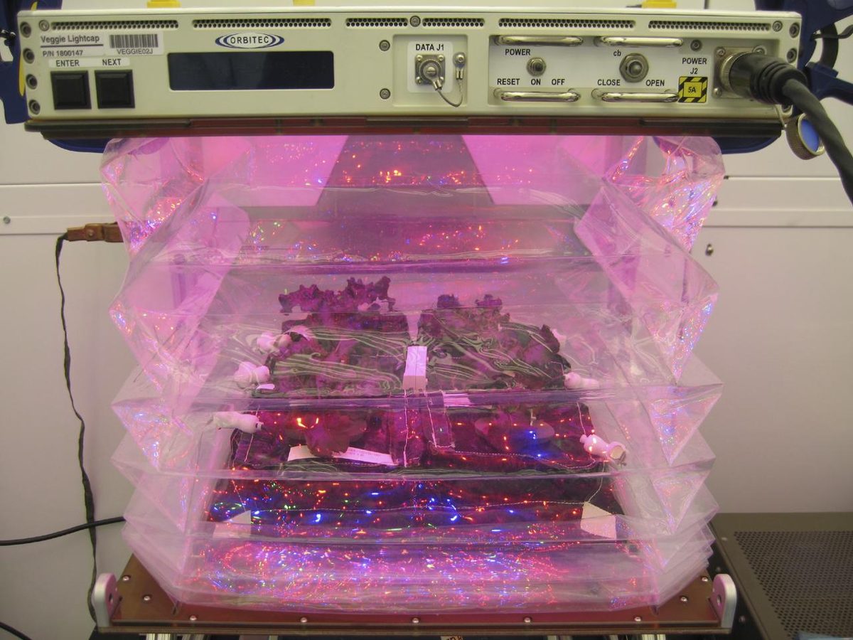
Image: NASA (KSC-2013-3567)
NASA's Veggie garden grows fresh food on the International Space Station; in 2015 astronauts ate the first lettuce grown in it (NASA).
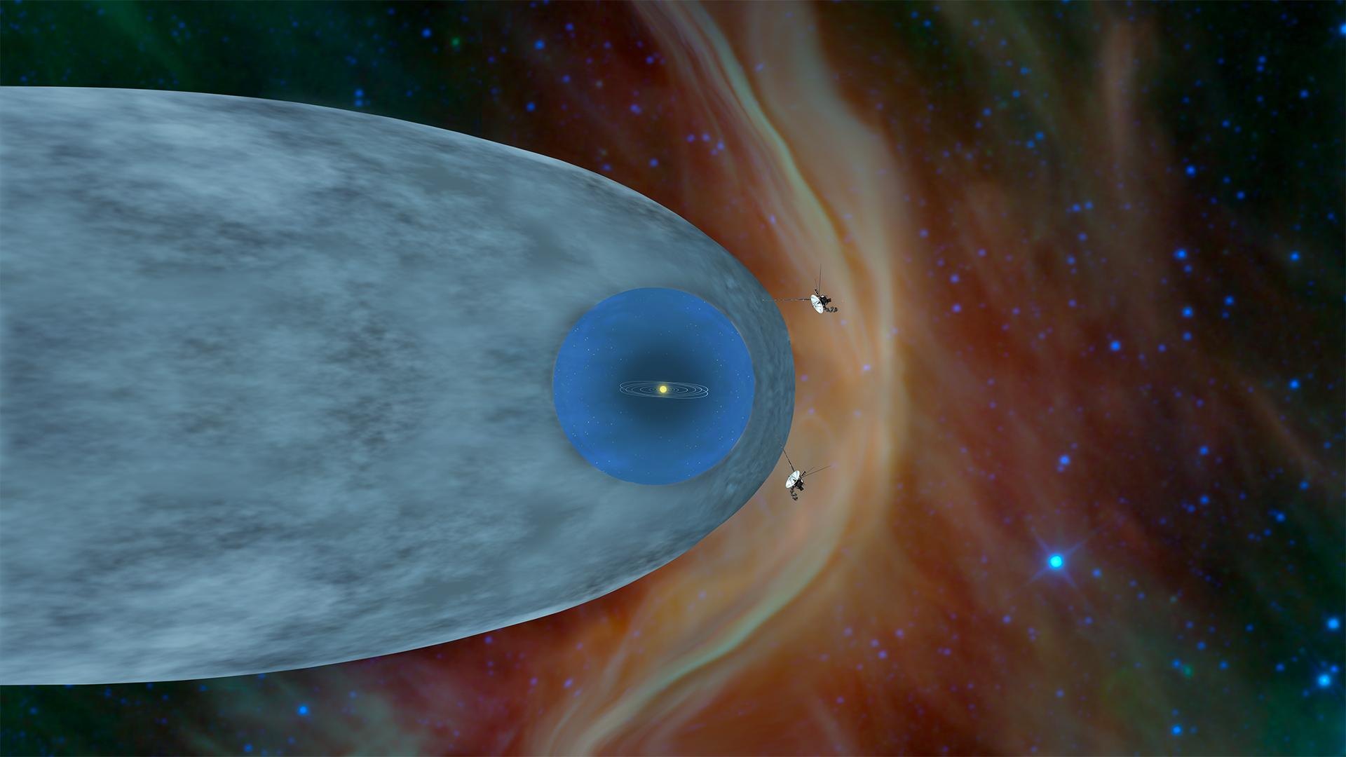
Image: NASA/JPL-Caltech (PIA22835)
Launched in 1977, the twin Voyagers are in interstellar space, and on Nov. 18, 2026, Voyager 1 will be one light-day from Earth (NASA).

Created by the Founder and SI
American Rivers has worked directly on more than 200 dam removals; in 2025 the U.S. removed 100 dams and reconnected more than 4,893 river miles.
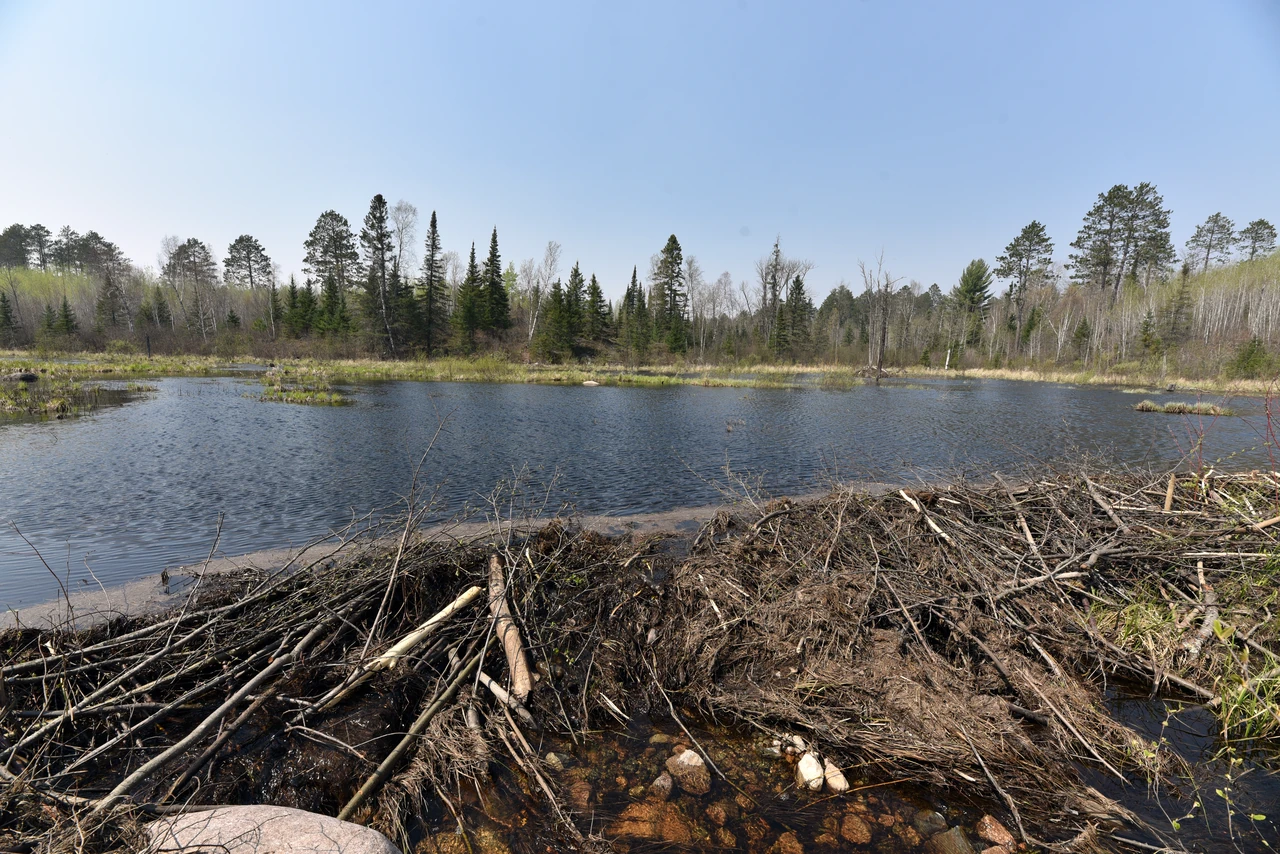
Image: Courtney Celley/USFWS (public domain)
In Oregon's Bridge Creek, beavers given simple dam starters raised juvenile steelhead survival 52% and production 175% (NOAA Fisheries).
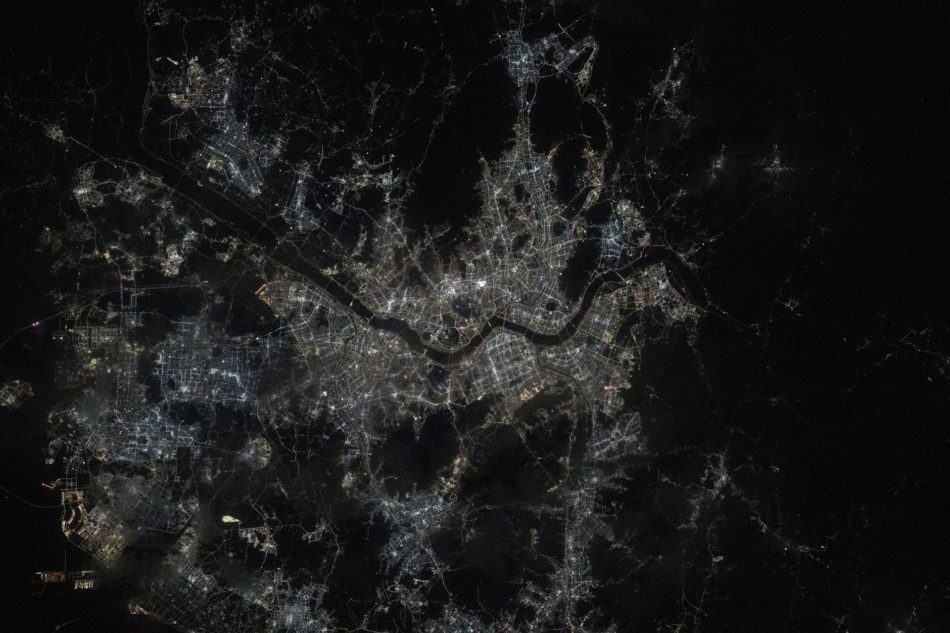
Image: NASA (iss072e757318)
Seoul removed an ageing road and elevated motorway that covered the Cheonggyecheon stream and restored it along a 5.84 km corridor through the city centre.
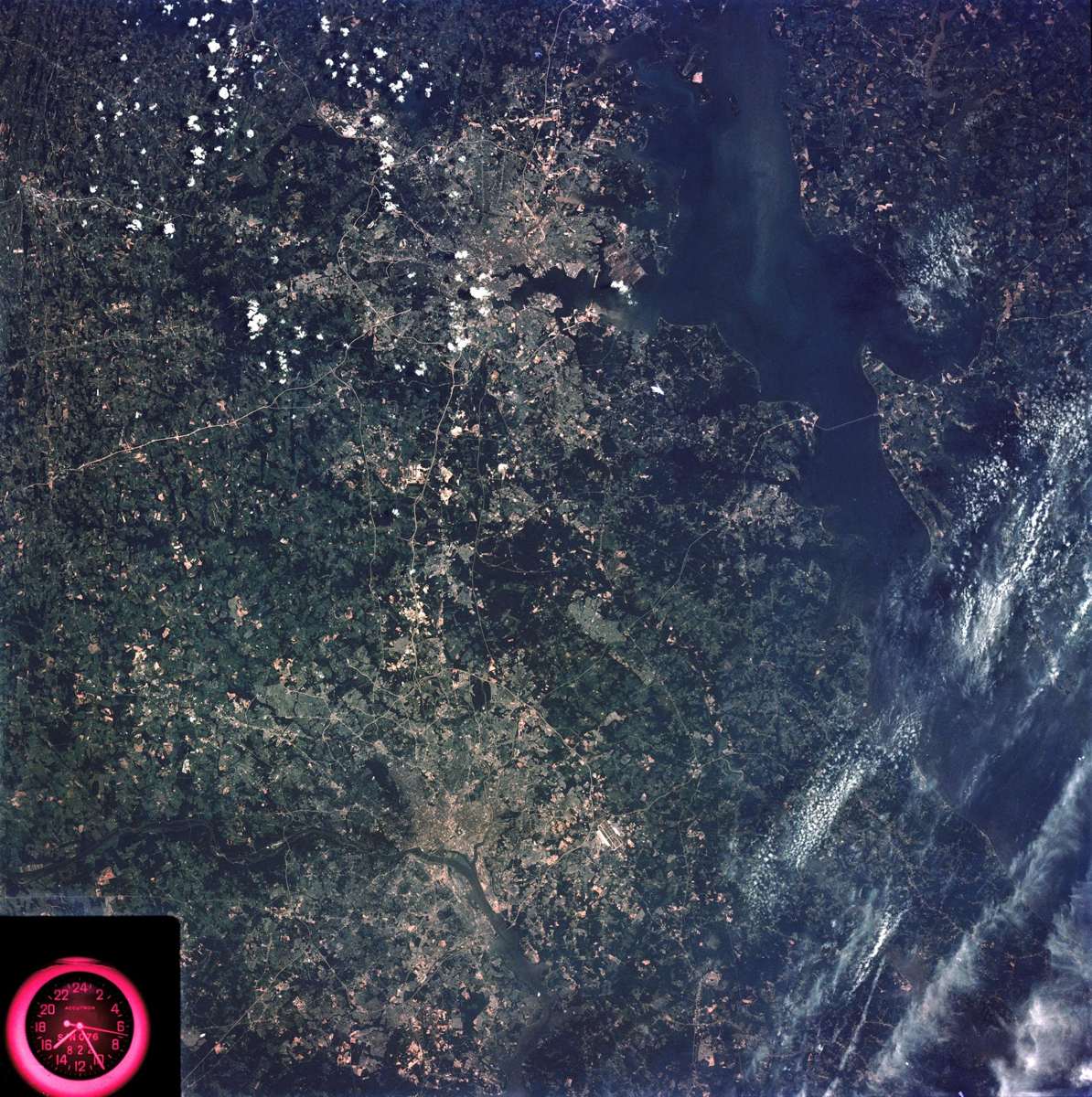
Image: NASA (SL3-83-166)
Since 1966, the Chesapeake Bay Foundation has worked to save the Bay and its rivers, adding more than 21 million oysters in fiscal year 2026 (CBF).

Image: Roy Luck (CC BY 2.0)
✨ New solution
Five listed impairments removed since 2017, from algae and fish tumors to beach closings in September 2024.
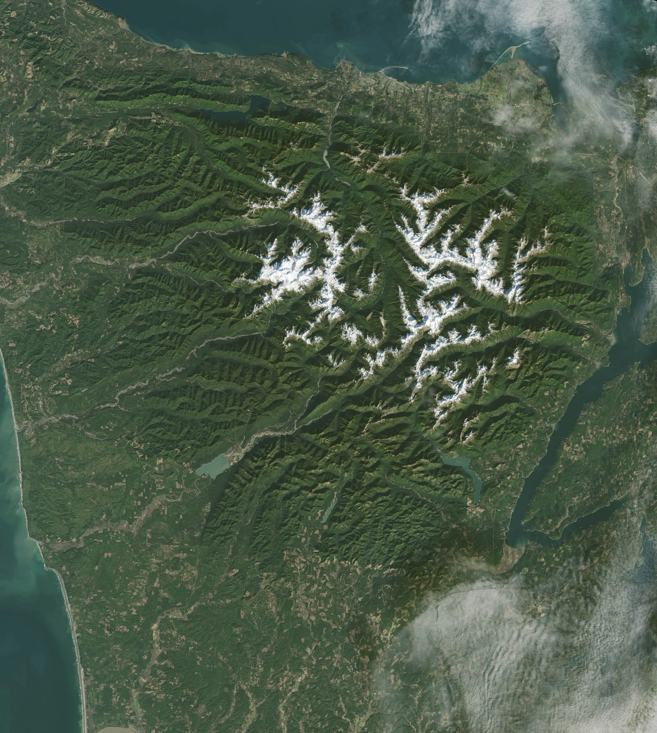
Image: NASA/Landsat 8 (GSFC_20171208_Archive_e000239)
Two Elwha River dams came down between 2011 and 2014, and more than 20 million tons of trapped sediment flowed downstream to rebuild the river and coast.
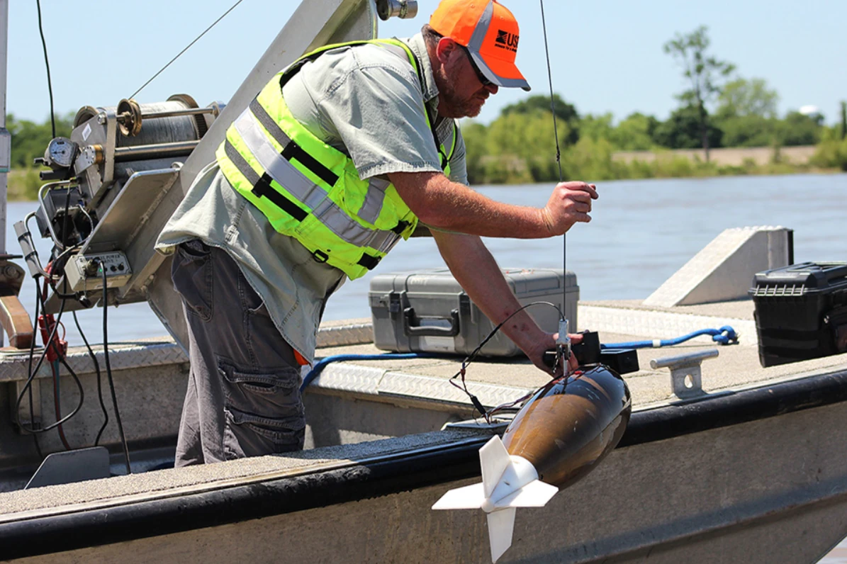
Image: Scott Dennis/USGS (public domain)
FreshWater Watch trains citizen scientists to test rivers, lakes and ponds: 80,000+ datasets from 22,000+ volunteers (organization figures).
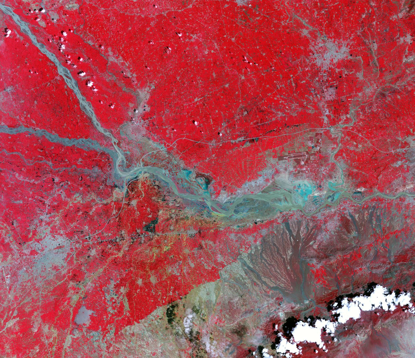
Image: NASA Earth Observatory
Free global river flood forecasts up to 30 days ahead, plus 4-month outlooks, from the Copernicus Emergency Management Service.
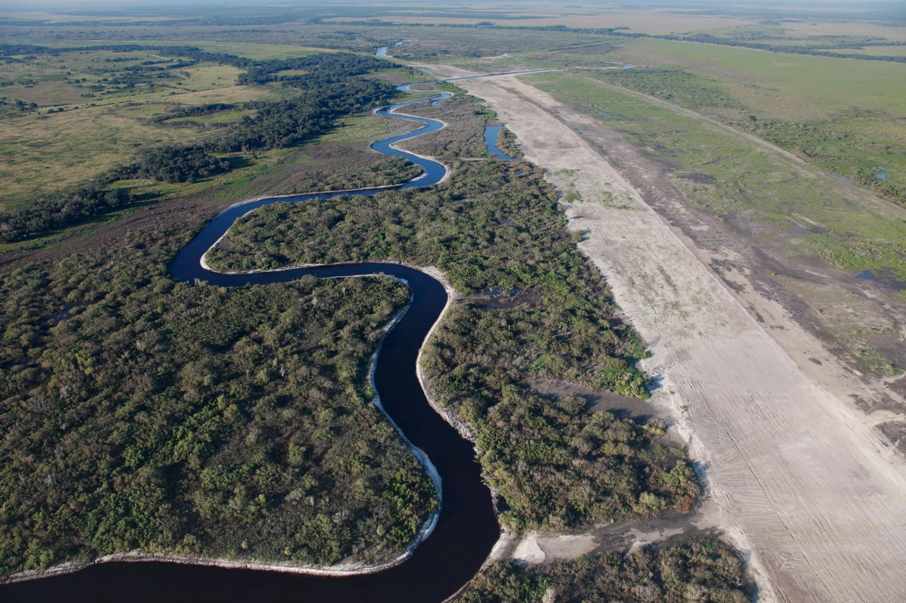
Image: U.S. Army Corps of Engineers (public domain)
Once straightened into a canal, Florida's Kissimmee River is winding again: 44 miles of river and 20,000 acres of wetlands restored (SFWMD).
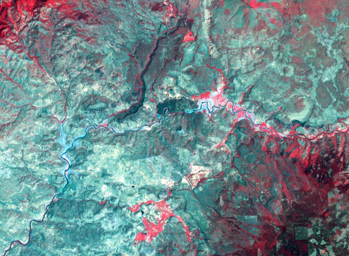
Image: NASA/METI/AIST/Japan Space Systems and U.S./Japan ASTER Science Team (PIA26448)
Four Klamath River dams came out by October 2024, reopening more than 400 miles of habitat to salmon, steelhead and lamprey (Klamath River Renewal).
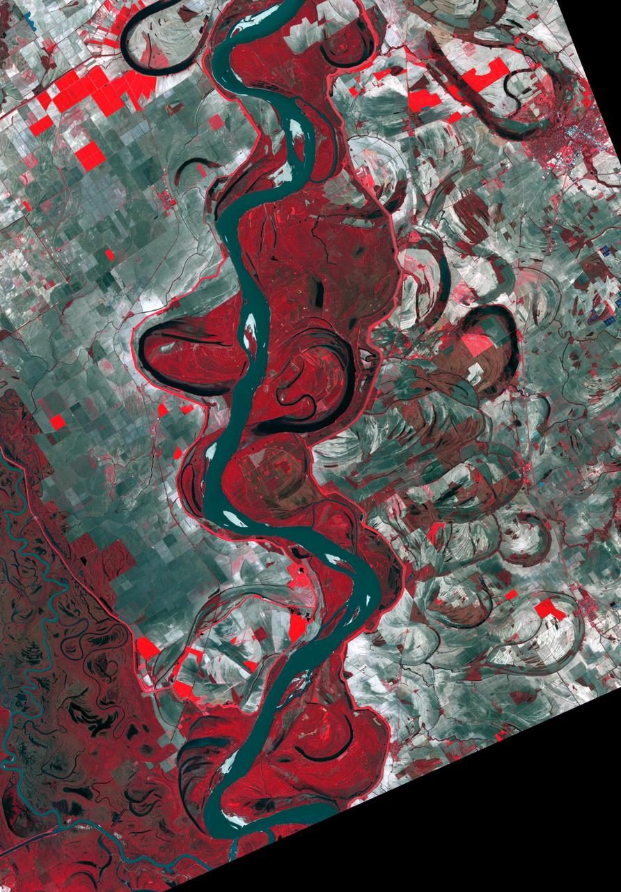
Image: NASA/METI/AIST/Japan Space Systems and U.S./Japan ASTER Science Team (PIA23534)
A barge-based river cleanup crew that, with more than 141,000 volunteers, has pulled over 14 million pounds of trash from U.S. rivers.
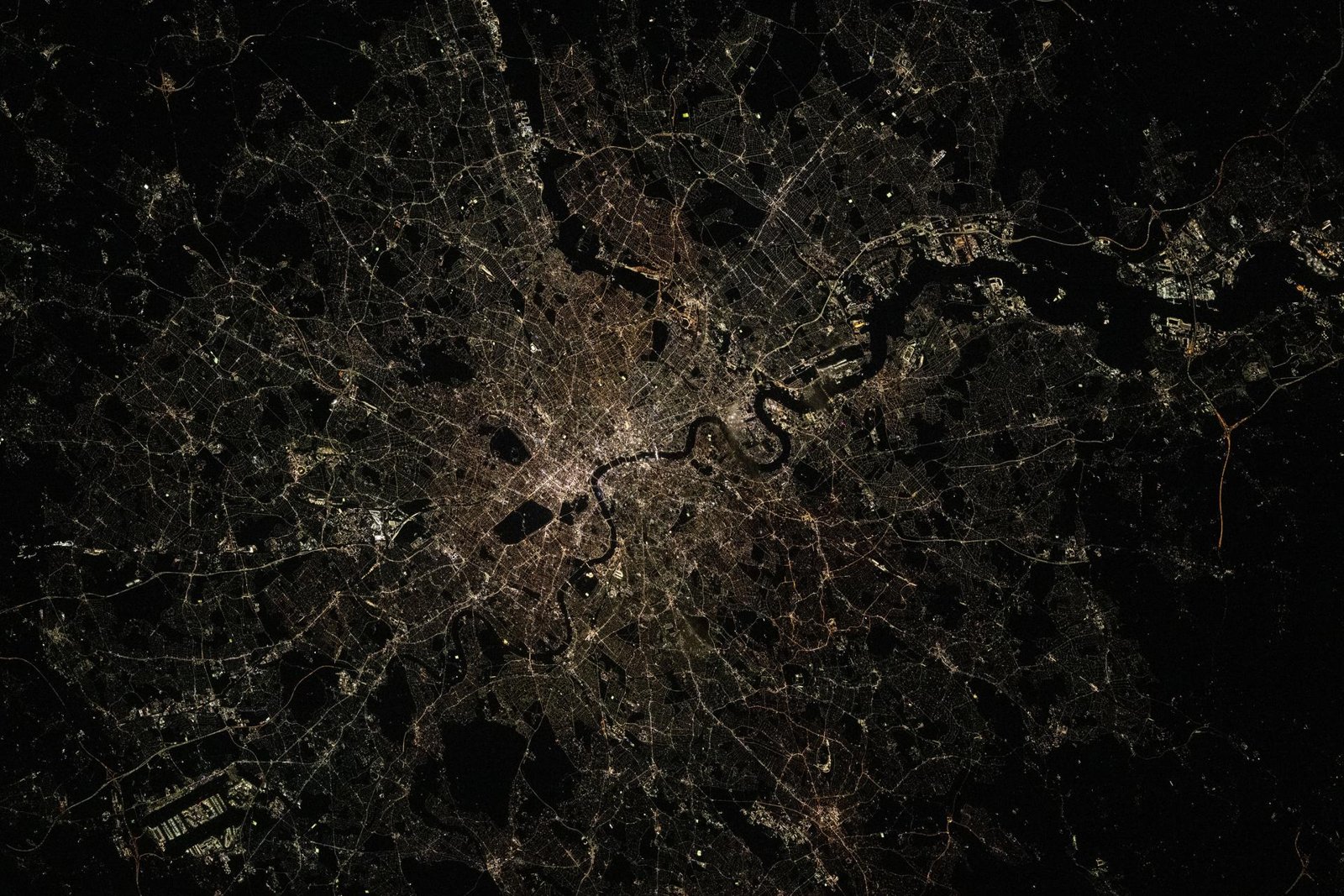
Image: NASA (ISS074-E-0381351)
London's new super sewer catches sewage that used to spill into the River Thames in storms, with room for 1.6 million cubic metres (Tideway).
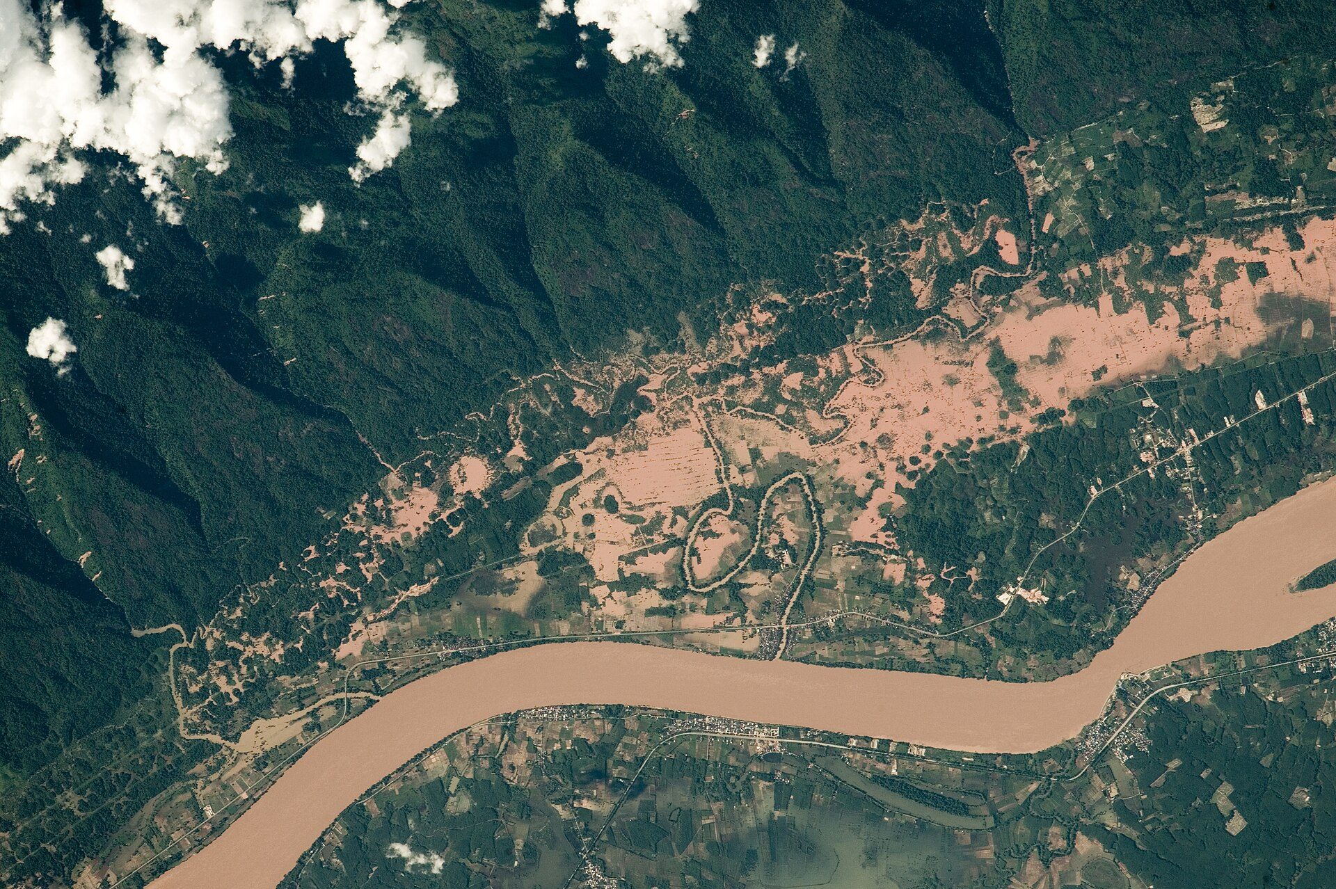
Image: NASA
The Mekong River Commission, founded in 1995 by four countries, works on a fishery of about 2.3 million tonnes a year.
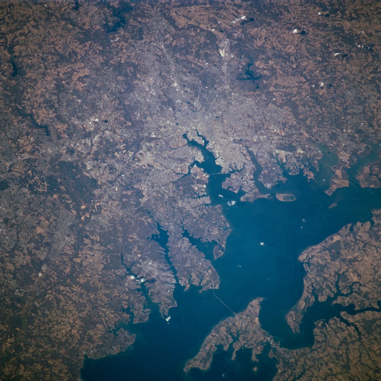
Image: NASA (STS098-716-057)
Baltimore's Trash Wheels intercept about 500 tons of trash a year before it reaches the harbor and the Chesapeake Bay (organization figure).
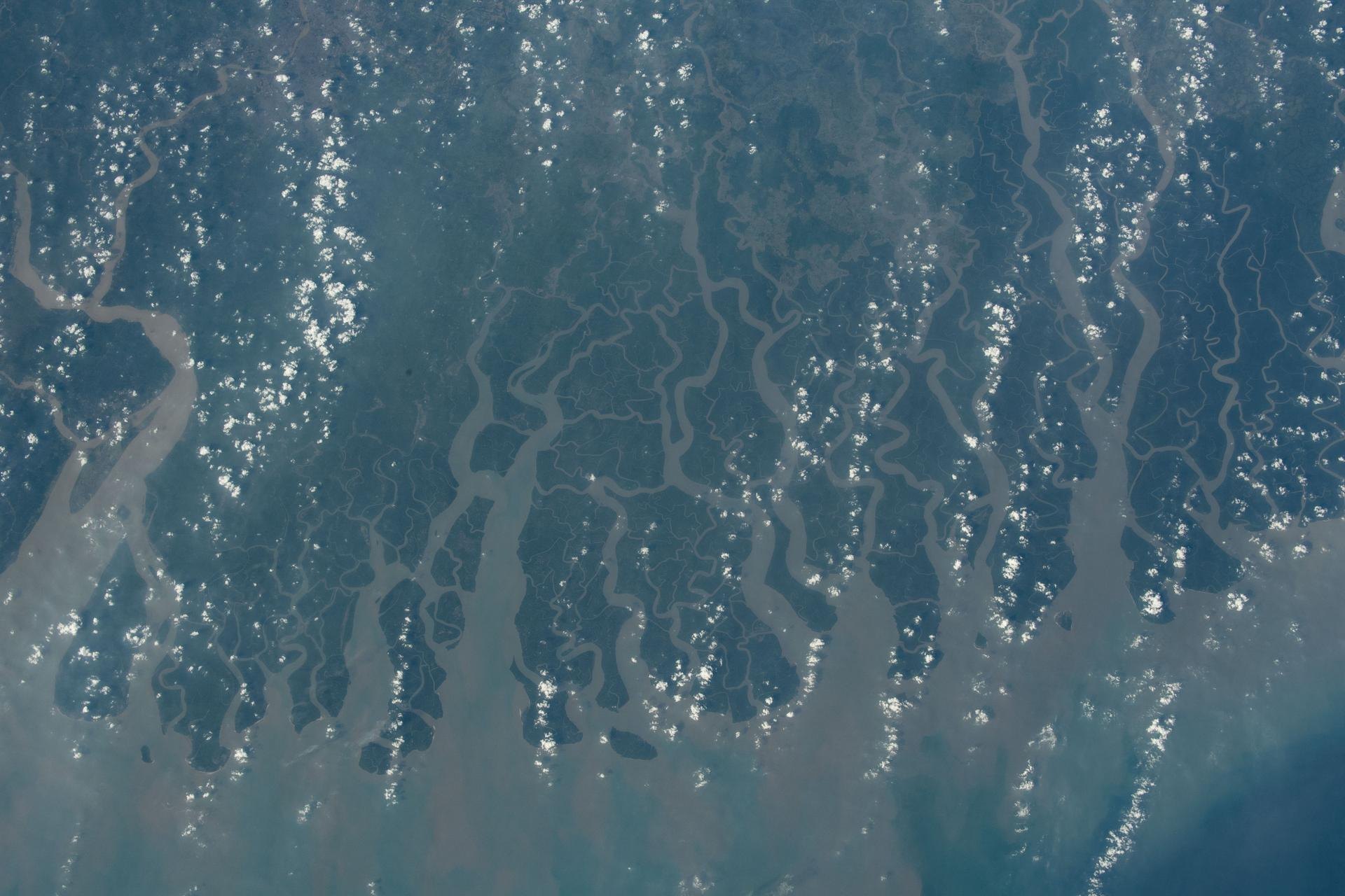
Image: NASA (ISS070-E-005997)
India's Namami Gange programme has created or rehabilitated 4,263 million litres a day of sewage treatment for the River Ganga (government figures).
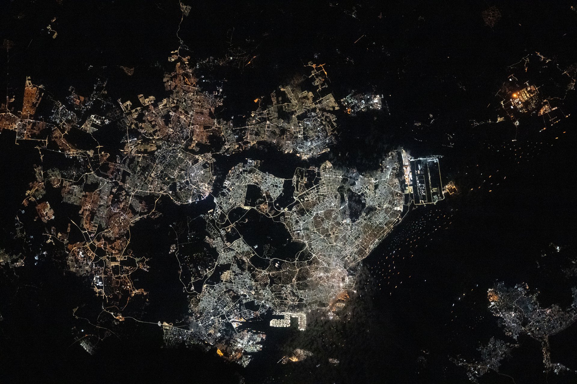
Image: NASA (iss073e0763866)
NEWater is high-grade reclaimed water from PUB, Singapore's National Water Agency, made from treated used water in a three-step purification process at 4 plants.
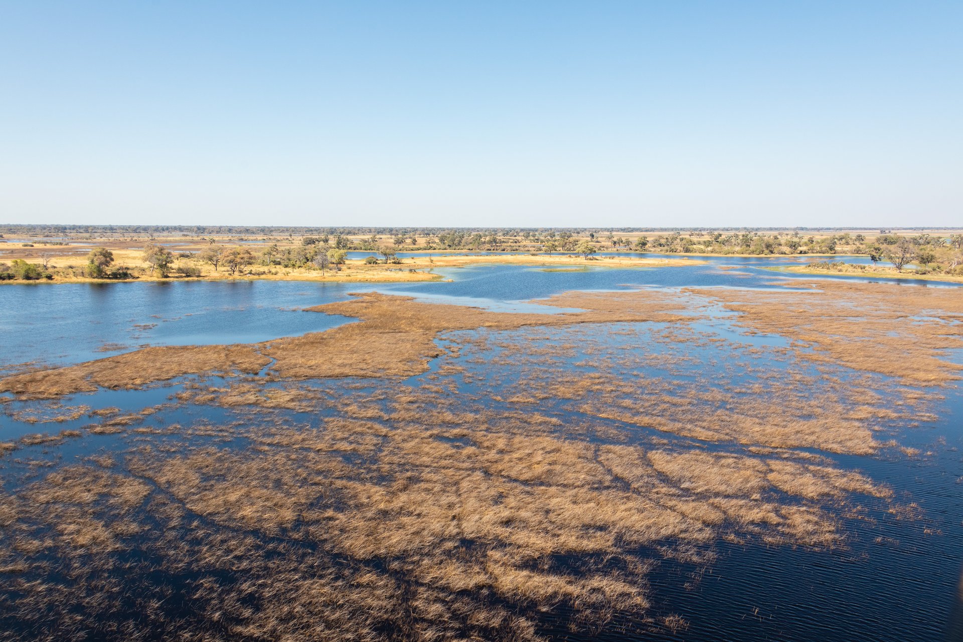
Image: Diego Delso via Wikimedia Commons (CC BY-SA 4.0)
The Okavango Delta in Botswana is a near-pristine inland delta whose waters drain into the Kalahari sands instead of the sea (UNESCO).
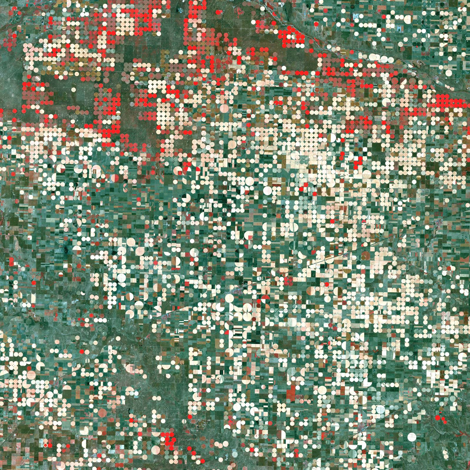
Image: NASA/GSFC/Landsat
Free satellite data on how much water crops and land use, now for all 48 contiguous states, with more than 13,000 registered users.
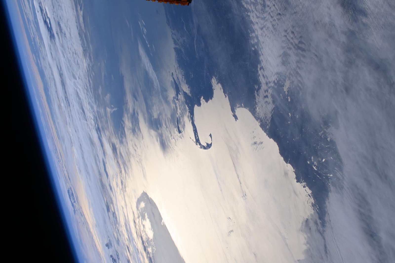
Image: NASA (ISS072-E-394484)
After two dams came out of Maine's Penobscot River, nearly 5.93 million river herring climbed the Milford fish lift in 2025, up from about 590,000 in 2015.
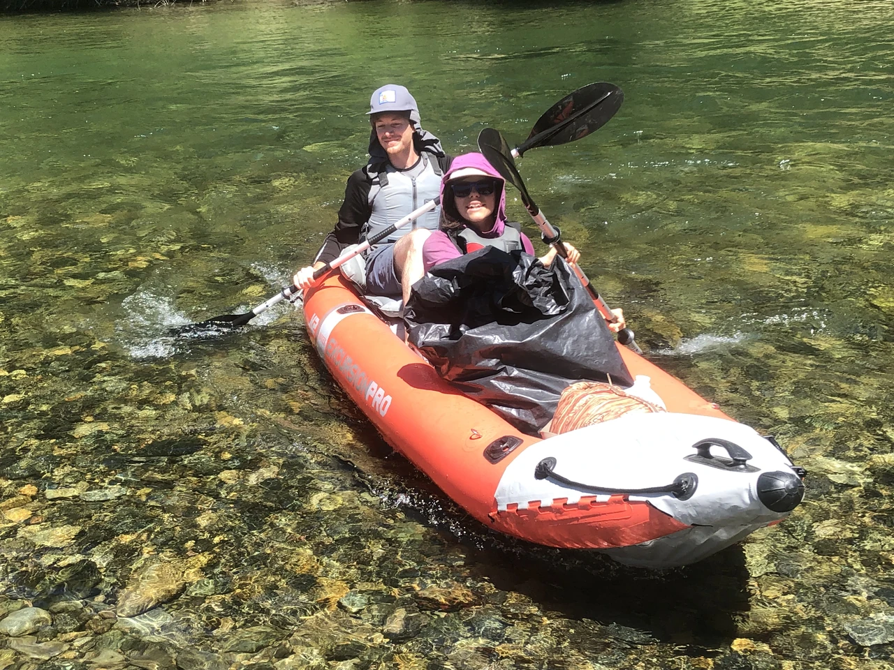
Image: David Byers, BLM (public domain)
River Cleanup and its volunteers have recovered more than 4.39 million kg of waste from rivers worldwide and aim for 1,000 plastic-free rivers by 2050.
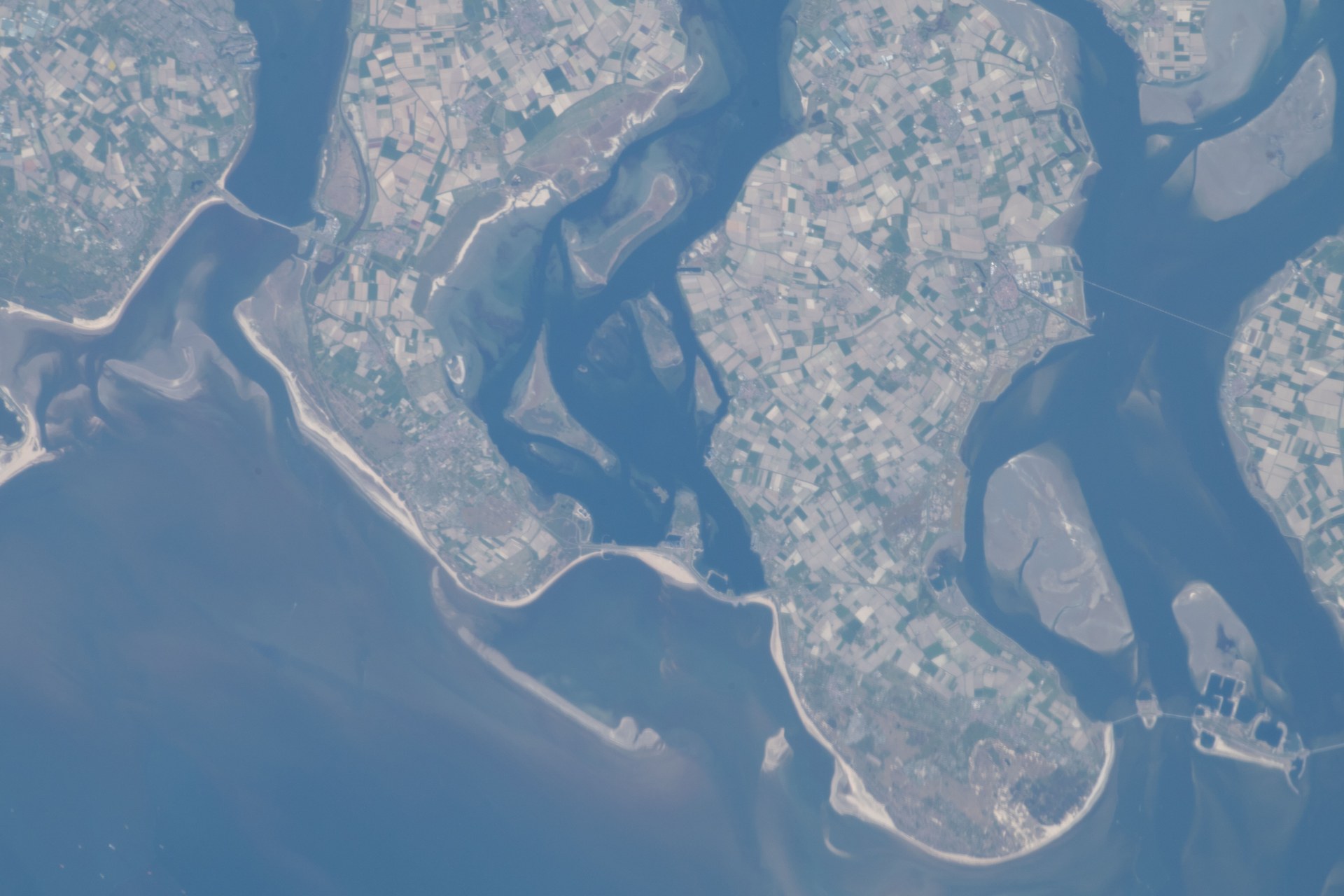
Image: NASA (ISS063-E-002730)
At 34 locations, the Netherlands widened floodplains and dug side channels so rivers can safely carry more water (Rijkswaterstaat).
Sungai Watch stops plastic in Indonesian rivers with trash barriers, daily collection and sorting, plus upcycling, working in Bali and Java since 2020.
The Great Bubble Barrier's bubble curtain guides plastic out of Amsterdam's canals into a catchment across the full width and depth, while boats and fish pass.
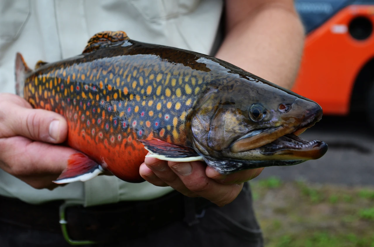
Image: Katie Steiger-Meister/USFWS (public domain)
Trout Unlimited restores and reconnects cold, clean rivers, reconnecting 1,052 miles of streams in its 2024-25 season (Trout Unlimited).
Waterkeeper Alliance unites hundreds of local Waterkeeper groups that patrol and protect more than 6 million square miles of rivers, lakes and coastlines.
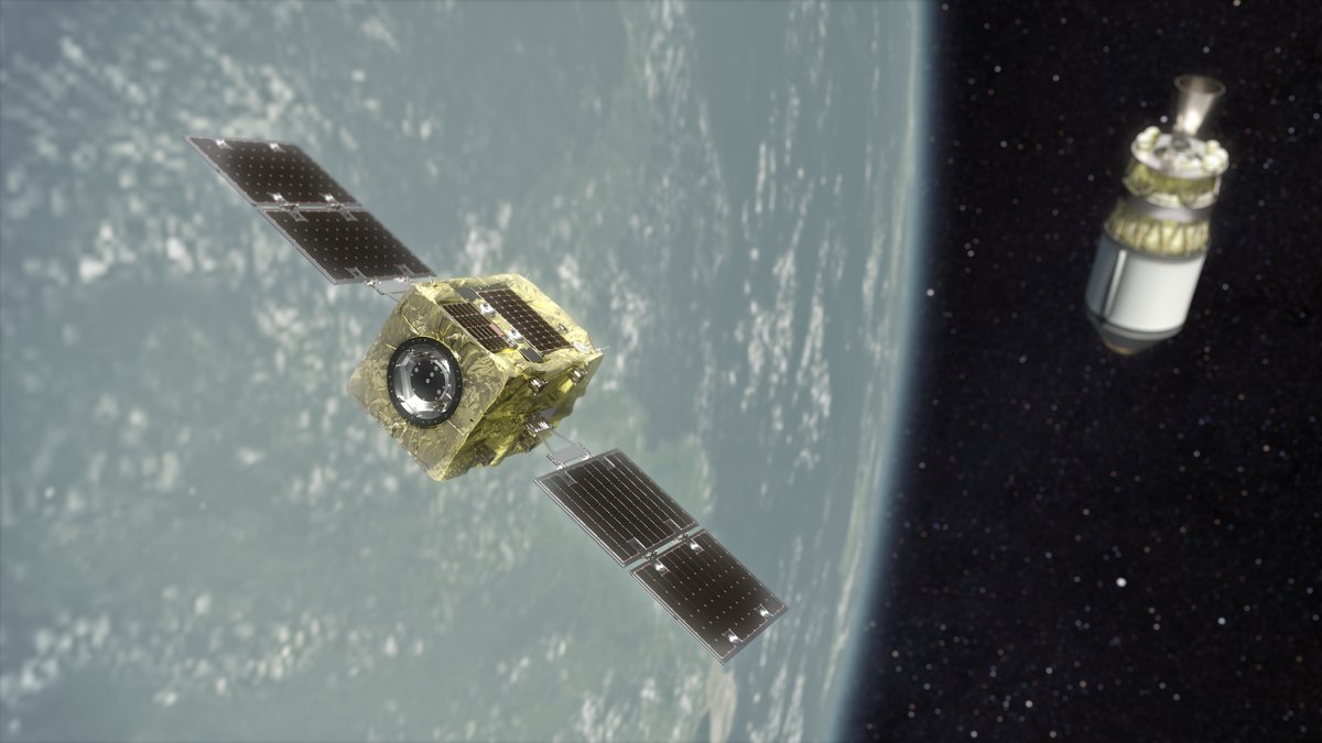
Image: Astroscale, via Wikimedia Commons (CC BY-SA 4.0, illustration)
Astroscale inspects, services and removes debris in orbit: ELSA-d, ADRAS-J's 2024 close-up of an H-IIA upper stage, and ADRAS-J2, targeted for fiscal 2027.
Also in: Space Disposal
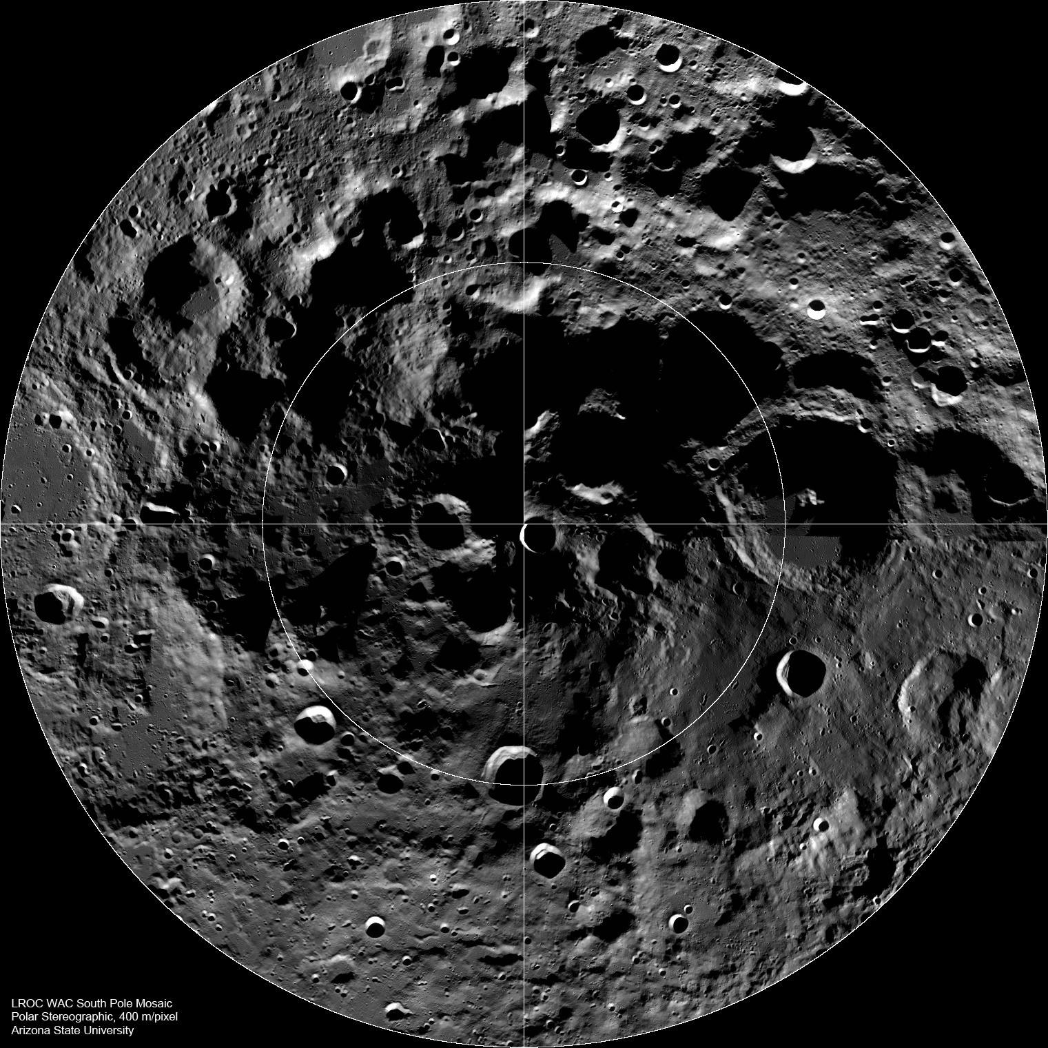
Image: NASA/GSFC/Arizona State University (PIA13523)
JAXA and ISRO are building LUPEX, also called Chandrayaan-5, to study water at the lunar south pole; launch is no earlier than 2028 on an H3 rocket (JAXA).
ClearSpace leads Europe's first active debris removal mission and provides in-orbit servicing. It is a privately held in-orbit servicing company.
Also in: Space Disposal
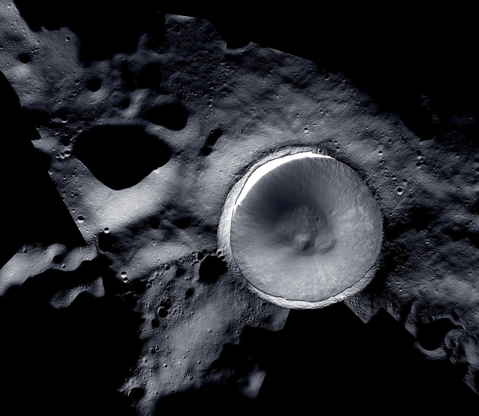
Image: LROC and ShadowCam teams, NASA/KARI/ASU
Korea's first lunar orbiter, Danuri, launched in August 2022 and now carries NASA's ShadowCam in a mission extended through 2027 (KASA).
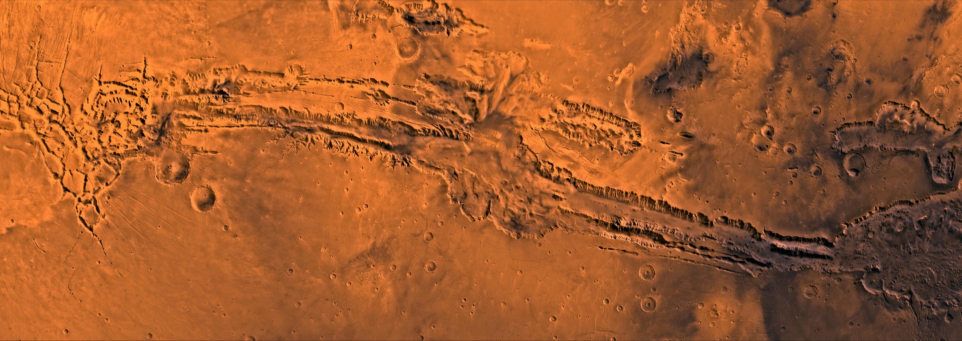
Image: NASA/JPL/USGS (PIA00422)
The UAE's Hope Probe has studied the Martian atmosphere from orbit since 2021, and its mission is now extended until 2028 (UAE Space Agency).
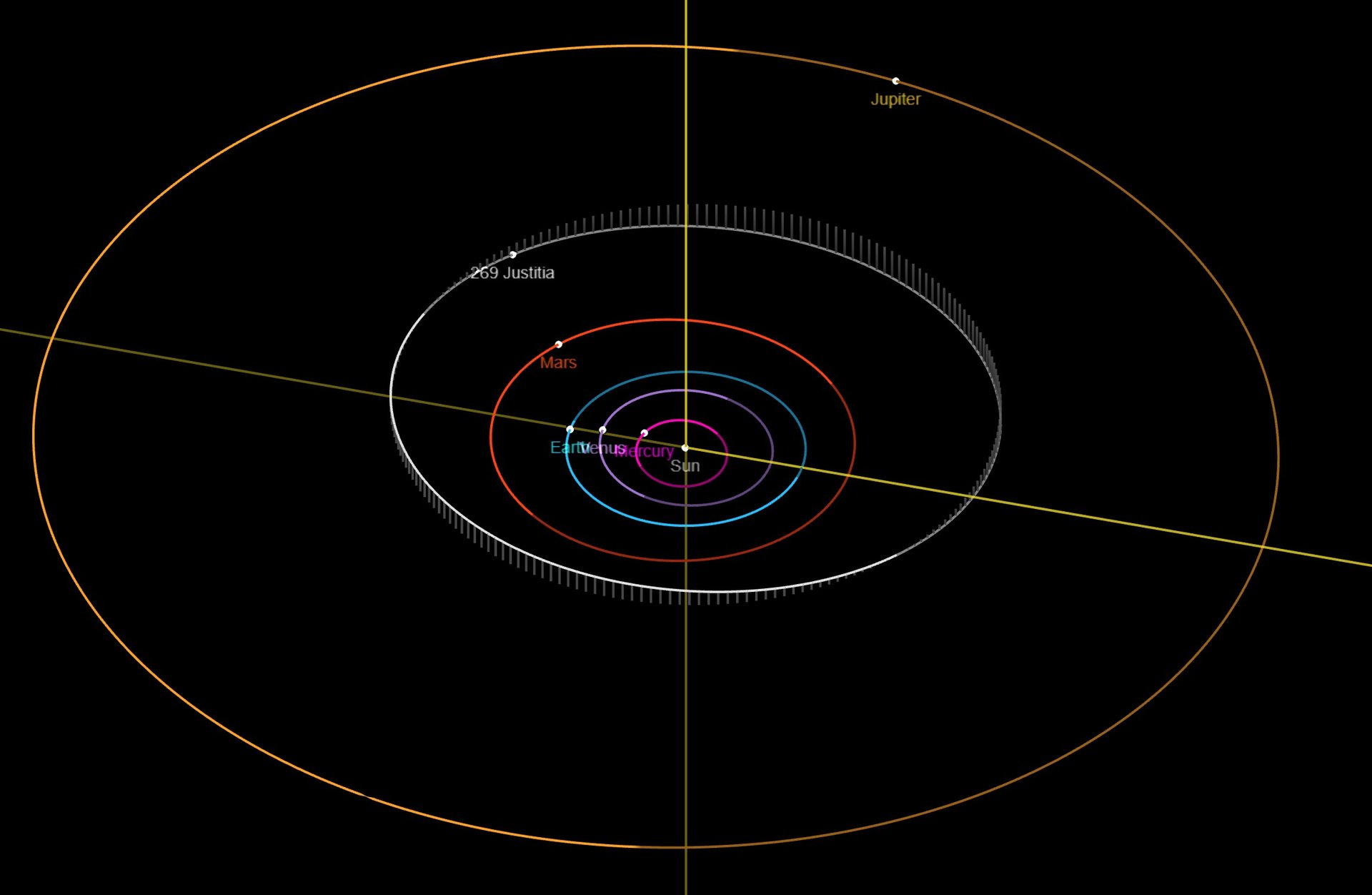
Image: JPL Solar System Dynamics/NASA
The UAE Space Agency's MBR Explorer is set to launch in March 2028 on Japan's H3 rocket to study asteroids beyond Mars (UAE Space Agency).
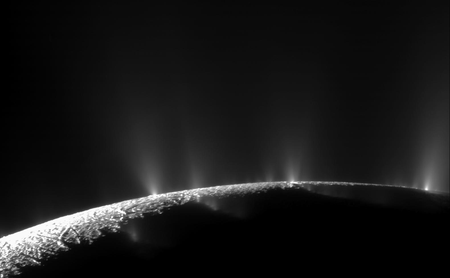
Image: NASA/JPL/Space Science Institute (PIA11688)
Saturn’s small moon Enceladus hides a global ocean and sprays it into space. Cassini found water, salts, organics, hydrogen and phosphates there.
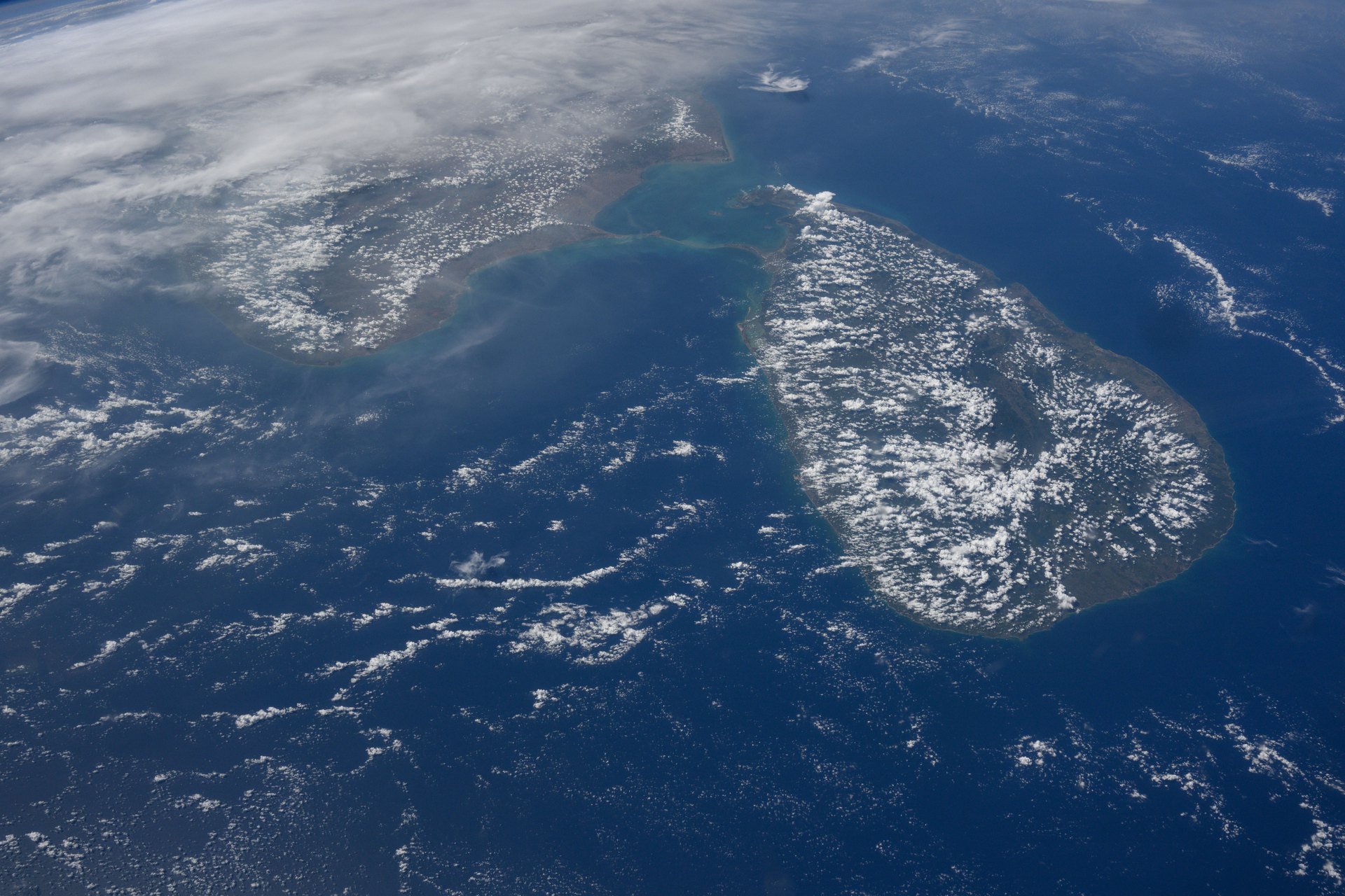
Image: NASA (iss071e014023)
Gaganyaan G1, ISRO's first uncrewed Gaganyaan flight, is targeted for late 2026 on the human-rated HLVM3 rocket (ISRO).
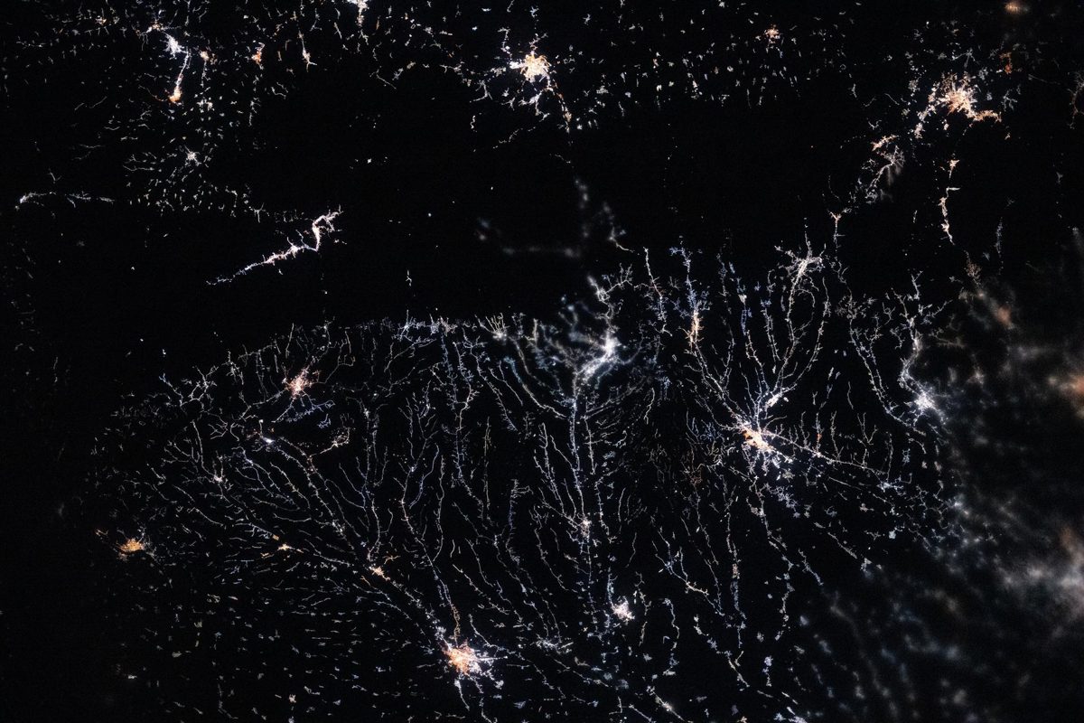
Image: NASA (ISS074-E-0149572)
Globe at Night invites anyone to measure how dark their night sky is. People have sent 331,147 observations to track light pollution (program figures).
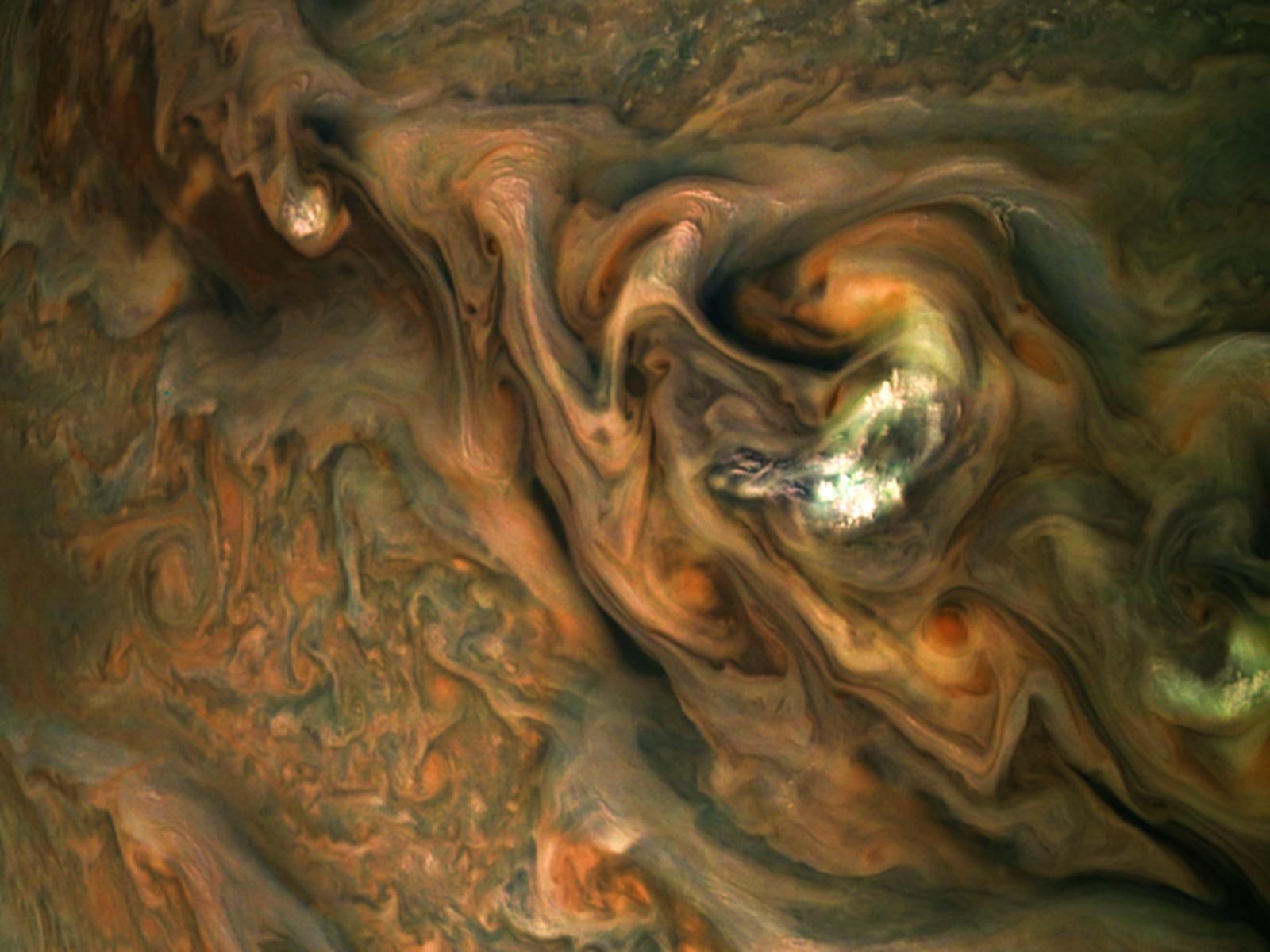
Image: NASA/ESA/Goddard/UC Berkeley/JPL-Caltech/STScI (GSFC_20171208_Archive_e000537)
Jupiter is a natural space debris removal system that swallows or flings away far more dangerous objects than any human mission could.
Also in: Planetary Defense, Space Disposal

Image: NASA/Michael Hopkins (ISS065-E-009492)
Data centers in orbit run SI chips on solar power and radiate waste heat into space, with no water-cooling towers.
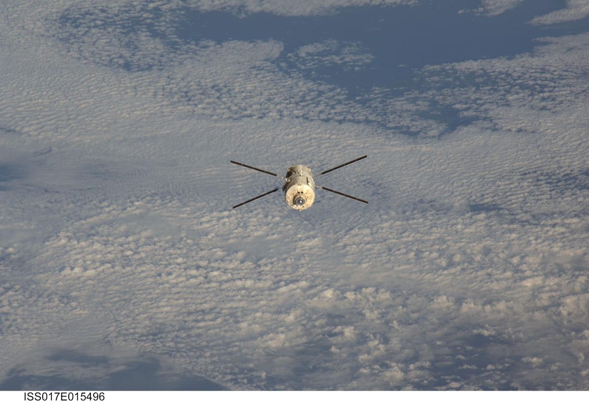
Image: NASA (ISS017-E-015496)
ESA guided its retired Aeolus wind satellite down in the first assisted reentry of its kind, cutting the already low debris risk by a factor of 150.
Atmospheric drag is Earth's natural space debris removal: it pulls low-orbit junk down to burn up, faster when the Sun is active, but barely works up high.
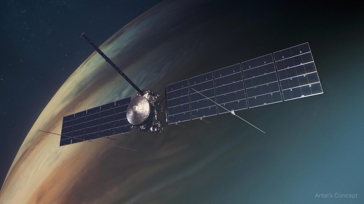
Image: NASA/JPL-Caltech (PIA26068)
NASA's Europa Clipper is on its way to Jupiter's ocean moon, with an Earth gravity assist on December 3, 2026 and 49 close Europa flybys from 2030.
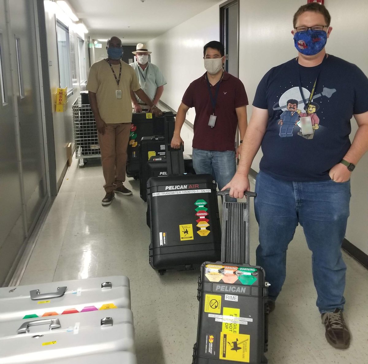
Image: NASA/JPL-Caltech (PIA24026)
ESA's Juice will study Ganymede, Callisto and Europa, with 35 moon flybys after it reaches Jupiter in July 2031. Cruising.
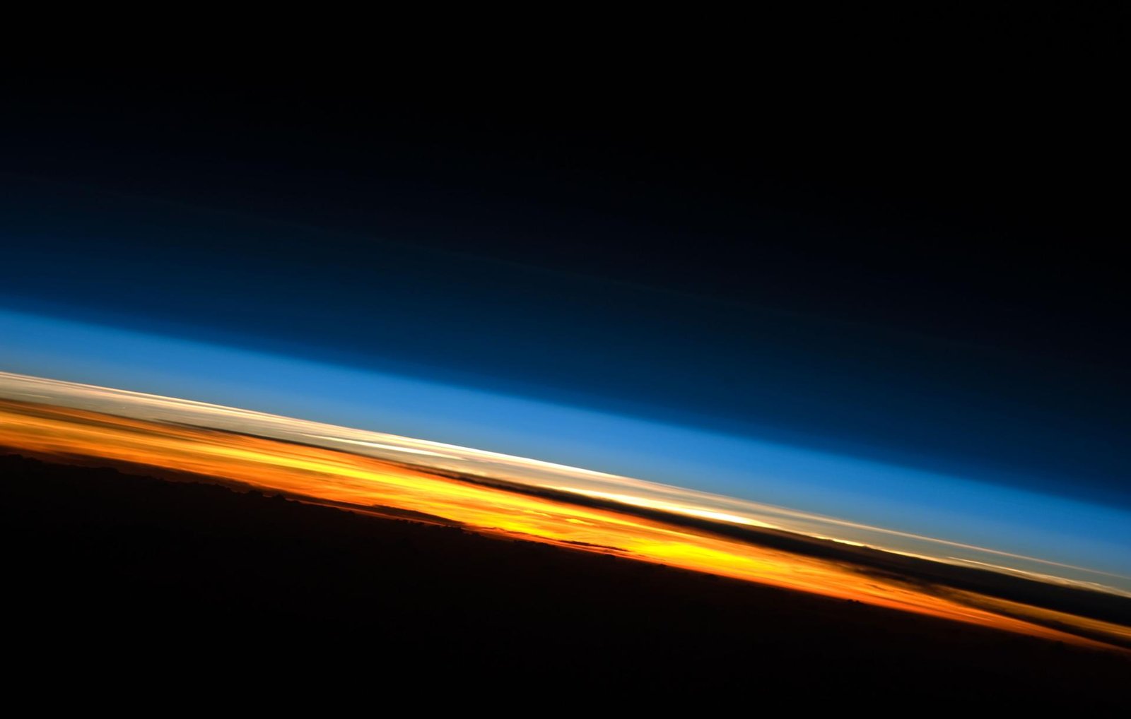
Image: NASA (ISS023-E-057948)
LeoLabs runs a global network of ground radars that track satellites and debris in low Earth orbit and turn the data into collision warnings.
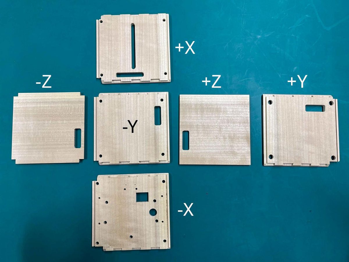
Image: Kyoto University via NASA (jsc2024e081747)
LignoSat, the world's first wooden satellite, proved wood can survive in orbit; a follow-on is a potential solution on the horizon.
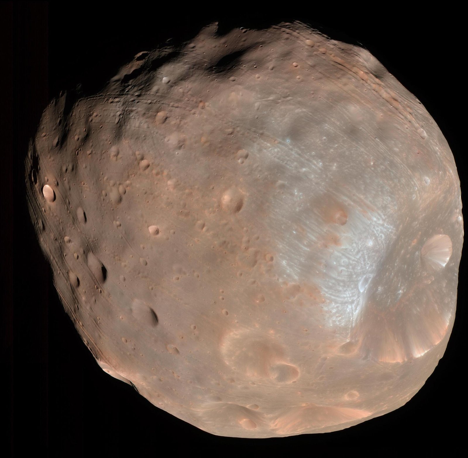
Image: NASA/JPL-Caltech/University of Arizona (PIA10368)
JAXA's MMX launches October 2026 to land on Mars's moon Phobos and return at least 10 grams of it to Earth in 2031, a first for the Mars system.

Image: NASA/Debora McCallum
Life extension in GEO: two MEVs have docked with three satellites, and the Mission Robotic Vehicle and three pods launched July 21, 2026 (company figures).
PRELUDE is a ClearSpace and ESA mission planned for June 2027 to validate close-proximity rendezvous technology. A potential solution on the horizon.
Also in: Space
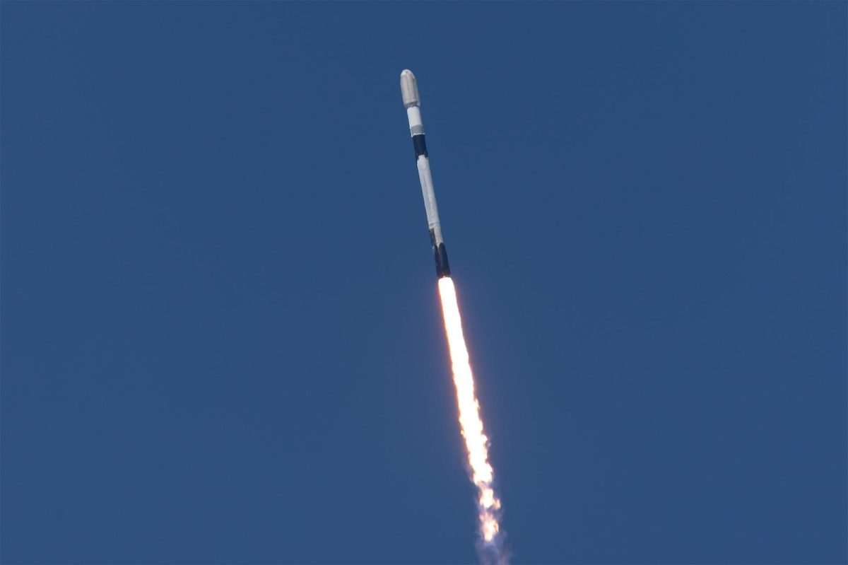
Image: SpaceX via NASA (KSC-20261001-PH-SPX01_0003)
The first Otter launched October 1, 2026 for NASA's SSPICY mission, inspecting up to four dead satellites and rocket bodies from 2027.
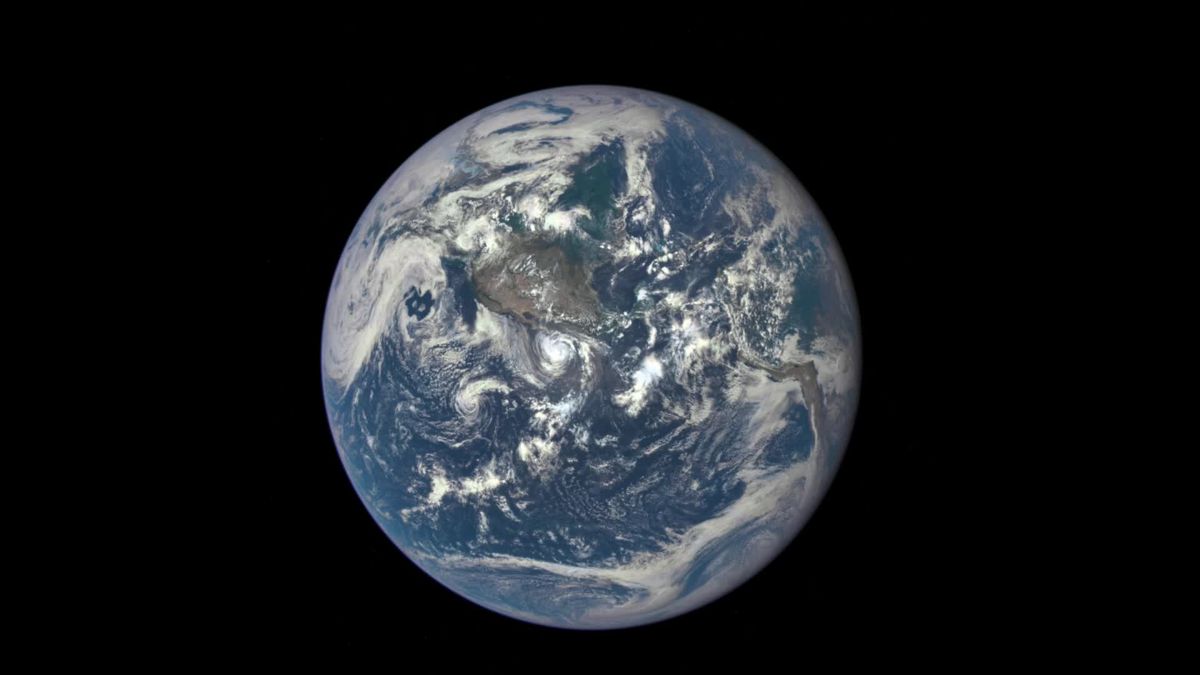
Image: NASA/NOAA DSCOVR EPIC
Saving moons, saving planets: the Moon keeps Earth's 23.5-degree tilt in check, which keeps our seasons and climate stable (NASA).
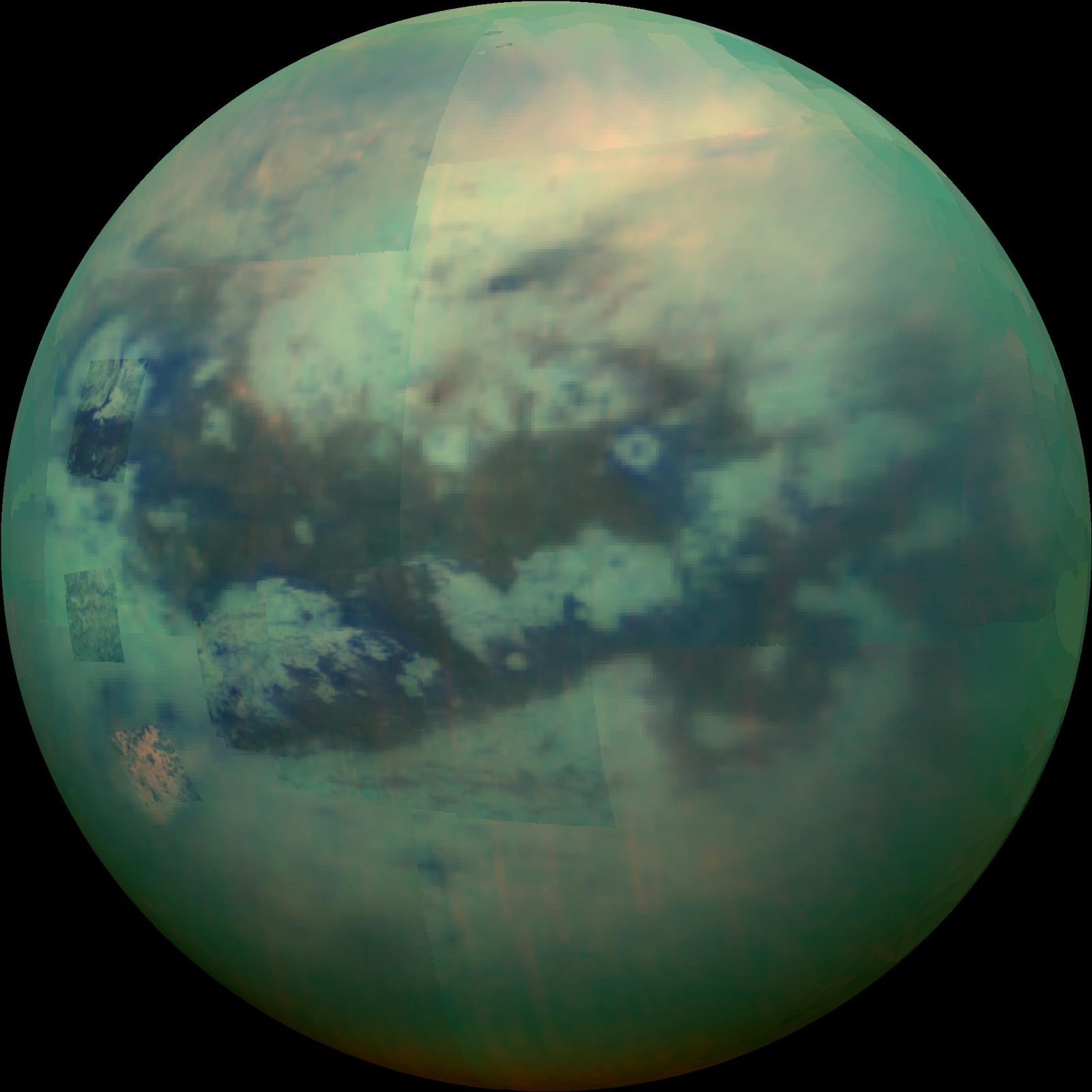
Image: NASA/JPL/University of Arizona/University of Idaho (PIA20016)
Titan is a prebiotic time capsule, and NASA's Dragonfly rotorcraft explores it from 2034, building radar, power and autonomy tools that matter for Earth.
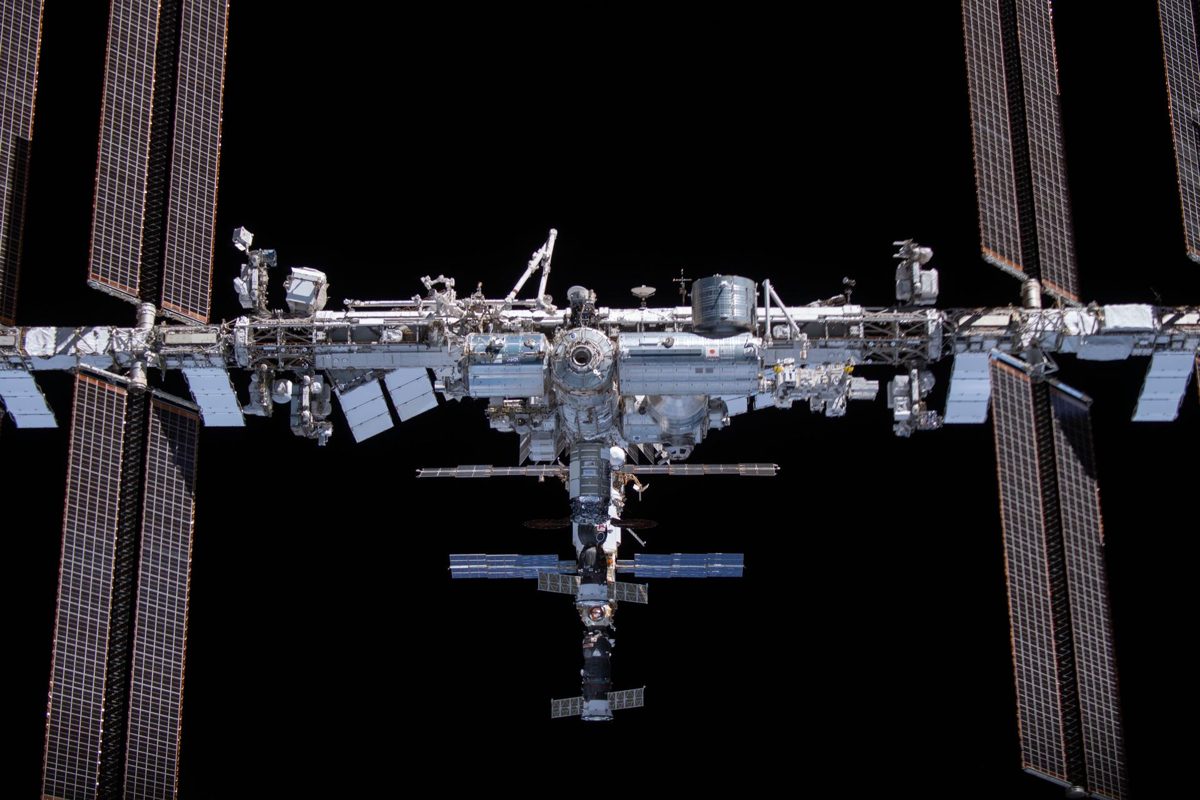
Image: NASA (ISS066-E-080762)
NASA selected SpaceX to build the U.S. Deorbit Vehicle that will guide the International Space Station safely out of orbit after 2030.
The Zero Debris Charter sets shared targets to stop creating space debris by 2030; by May 2026 it had 228 signatories from 34 countries (ESA).
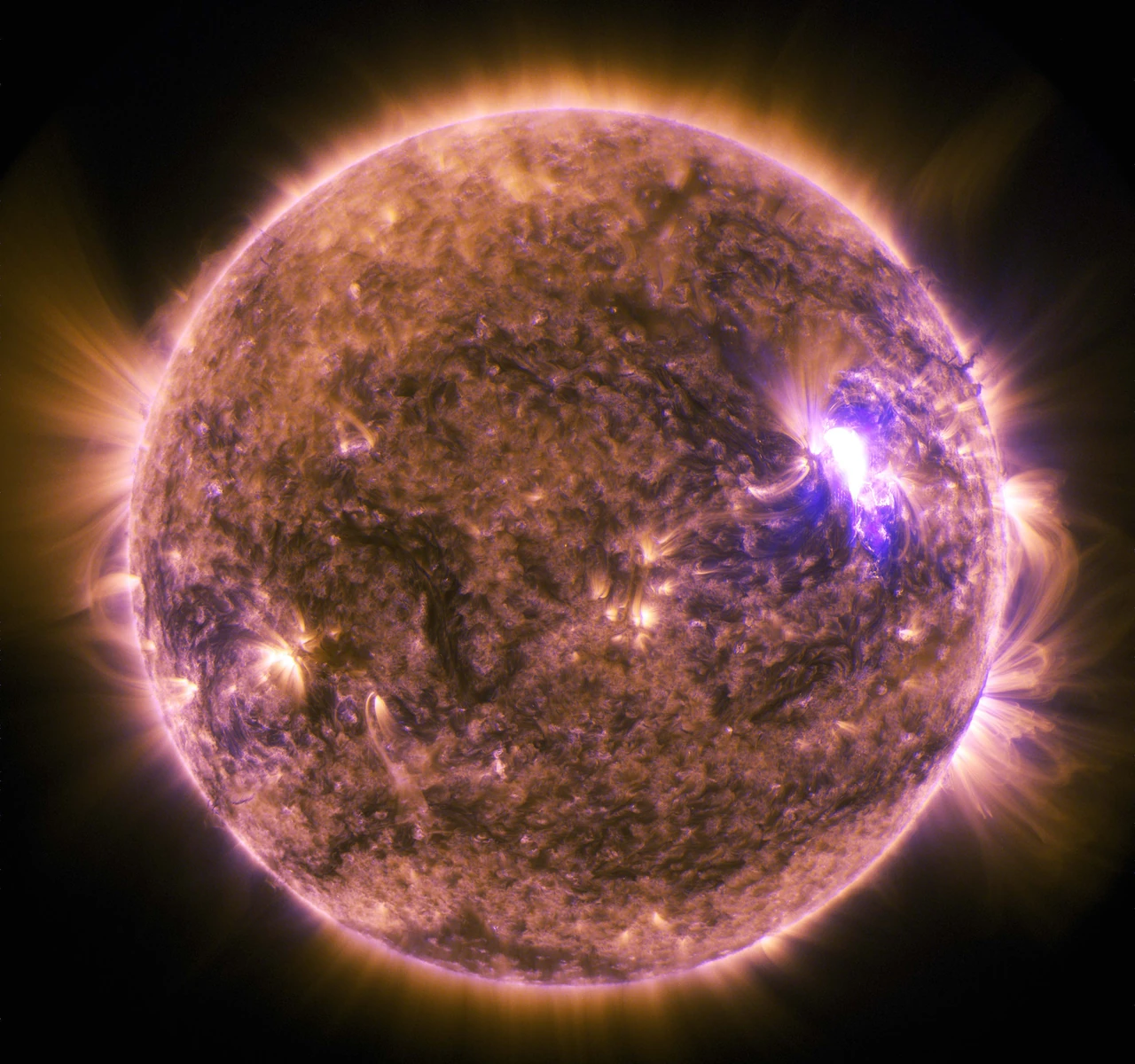
Image: NASA/SDO (public domain)
Aditya-L1 is ISRO's first space-based solar observatory, studying the Sun from a halo orbit around L1, about 1.5 million km from Earth.
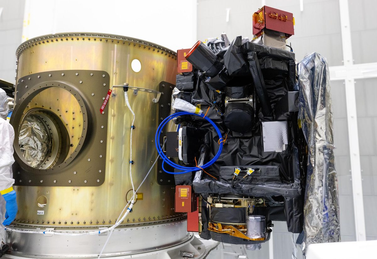
Image: NASA/Frank Michaux (KSC-20250905-PH-FMX01_0037)
The first mission dedicated to Earth's exosphere, Carruthers watches our planet's ultraviolet halo from about a million miles sunward.
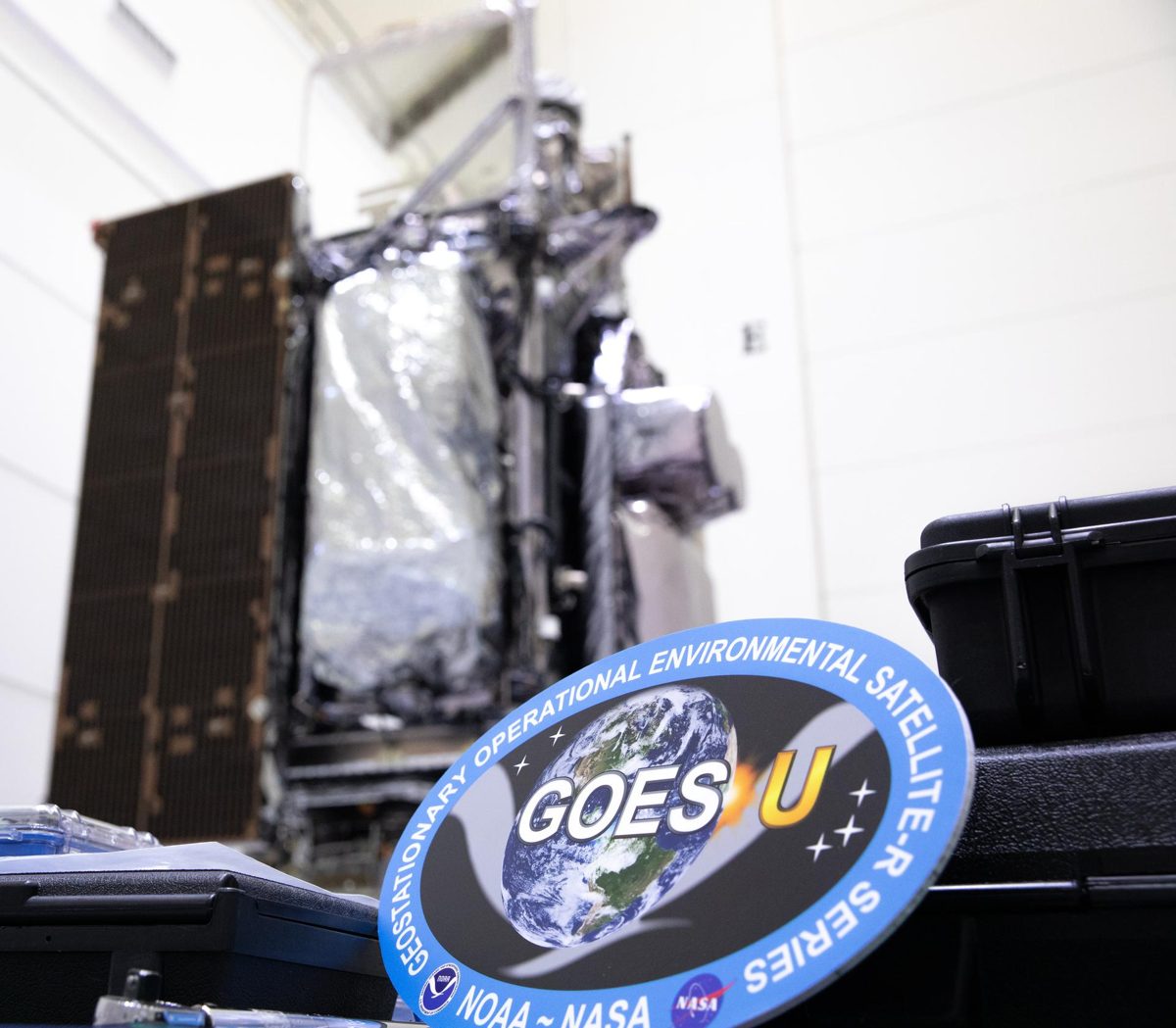
Image: NASA/Ben Smegelsky (KSC-20240124-PH-JBS01_0071)
NOAA's GOES-19 carries CCOR-1, the world's first operational space-based coronagraph, imaging the Sun's corona every 15 minutes.
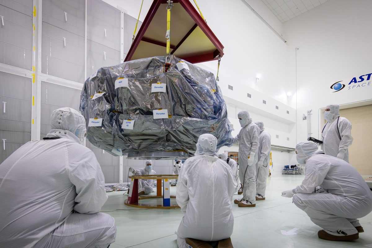
Image: NASA/Johns Hopkins APL/Ed Whitman (KSC-20250529-PH-EGW01_0012)
NASA's IMAP watches the Sun from about a million miles sunward and can give about a half hour's warning of incoming radiation.
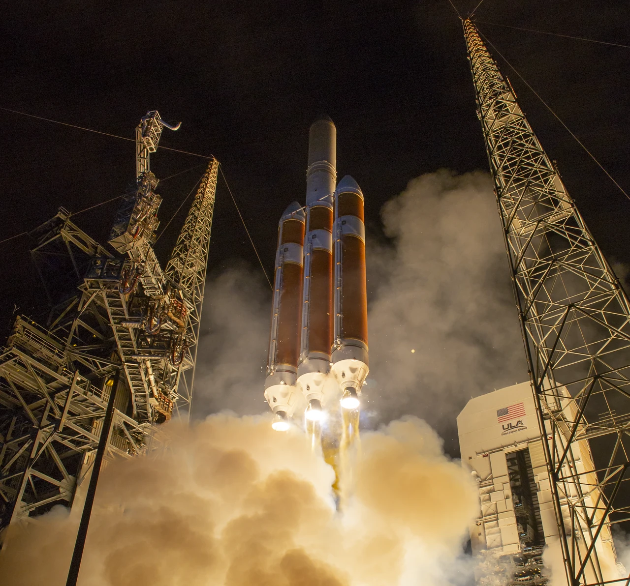
Image: NASA/Bill Ingalls (NHQ201808120013)
The first spacecraft to fly through the Sun's outer atmosphere, helping scientists understand the space weather that affects life and technology on Earth.
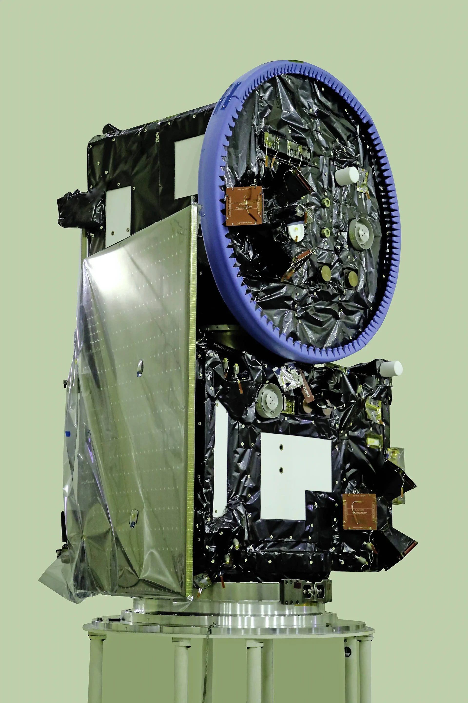
Image: ISRO (GODL-India)
Proba-3 is the first mission to make an artificial total solar eclipse with two satellites flying 150 meters apart.
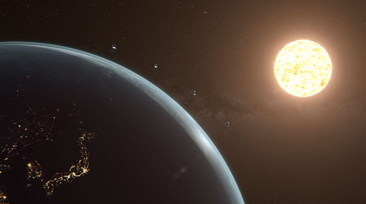
Image: NASA/Jim Ross (AFRC2025-0036-22)
Four suitcase-sized NASA satellites image the Sun's corona and solar wind together, in 3D, since March 2025. Active in low Earth orbit.
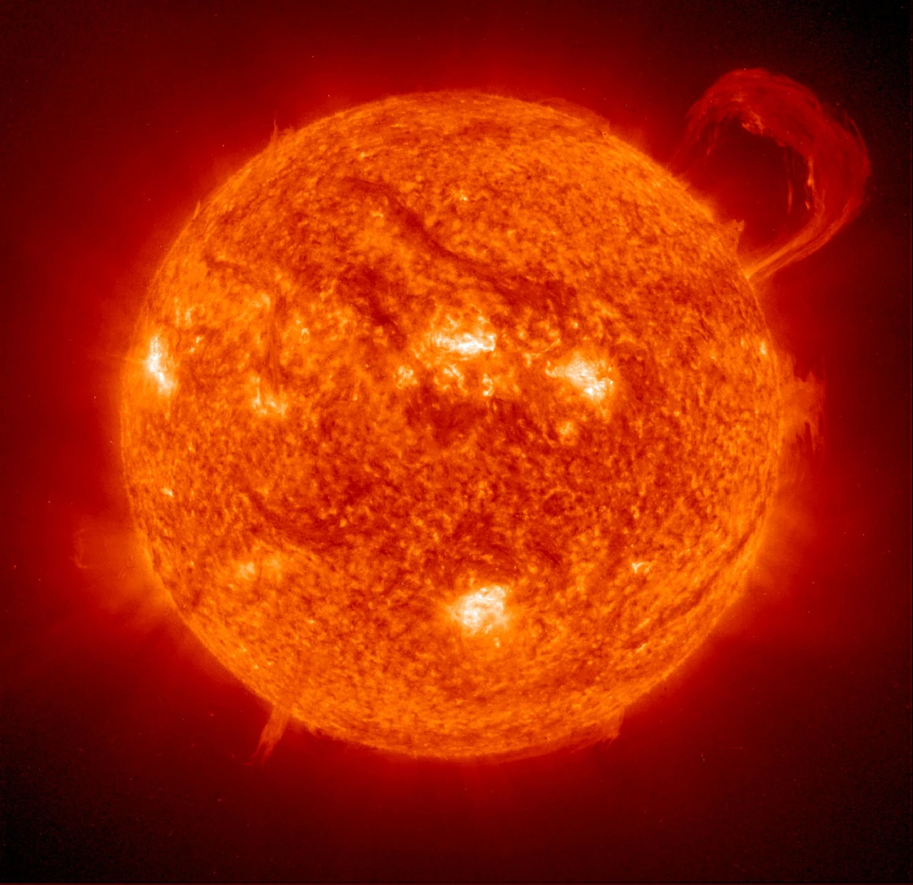
Image: ESA/NASA/SOHO (PIA03149)
Watching the Sun nonstop since 1995, SOHO helps experts predict solar storms and has found more than 5,000 comets (NASA).

Image: ESA/U. Ragnit via NASA (KSC-20200108-PH-ESA01_0001)
ESA and NASA's Solar Orbiter took the first close-up images of the Sun's poles, coming within 42 million km of the Sun. Active, orbiting the Sun.
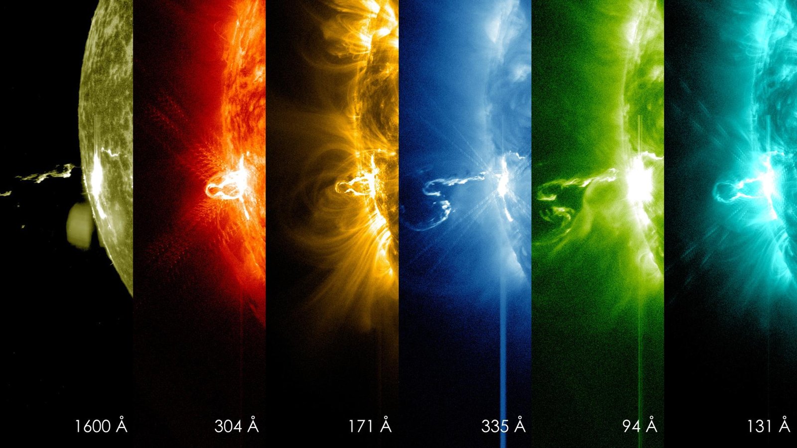
Image: NASA/SDO
NOAA's SOLAR-1 (formerly SWFO-L1) watches the Sun from L1, about one million miles from Earth, streaming space weather data to forecasters in real time.
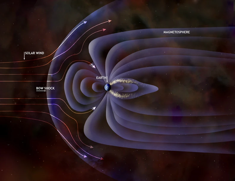
Image: NASA/CXC/M.Weiss (public domain)
Three natural shields protect Earth: the heliosphere, the magnetosphere, and the atmosphere with its ozone layer, deflecting solar wind and most harmful UV-B.
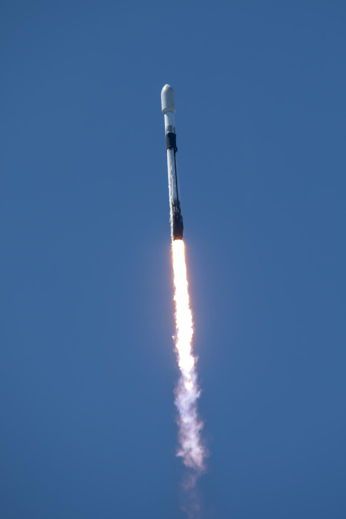
Image: SpaceX via NASA (KSC-20250723-PH-SPX01_0003)
NASA's twin TRACERS satellites fly through Earth's polar cusps to study magnetic reconnection, a key driver of space weather.
ESA's Vigil will watch the Sun from L5, giving up to four to five days' notice of certain space weather effects. Launch is planned for 2031.
Ocean solutions that are working now: The Ocean Cleanup's systems and river Interceptors, 4ocean's cleanup crews, and Plastic Bank's recycling economy.
Source: Oceans · On this site
4ocean removes plastic from oceans, rivers, and coastlines with full-time cleanup crews, funded by products made from recovered plastic.