
Active Earth Observation
Copernicus Atmosphere Monitoring Service (CAMS)
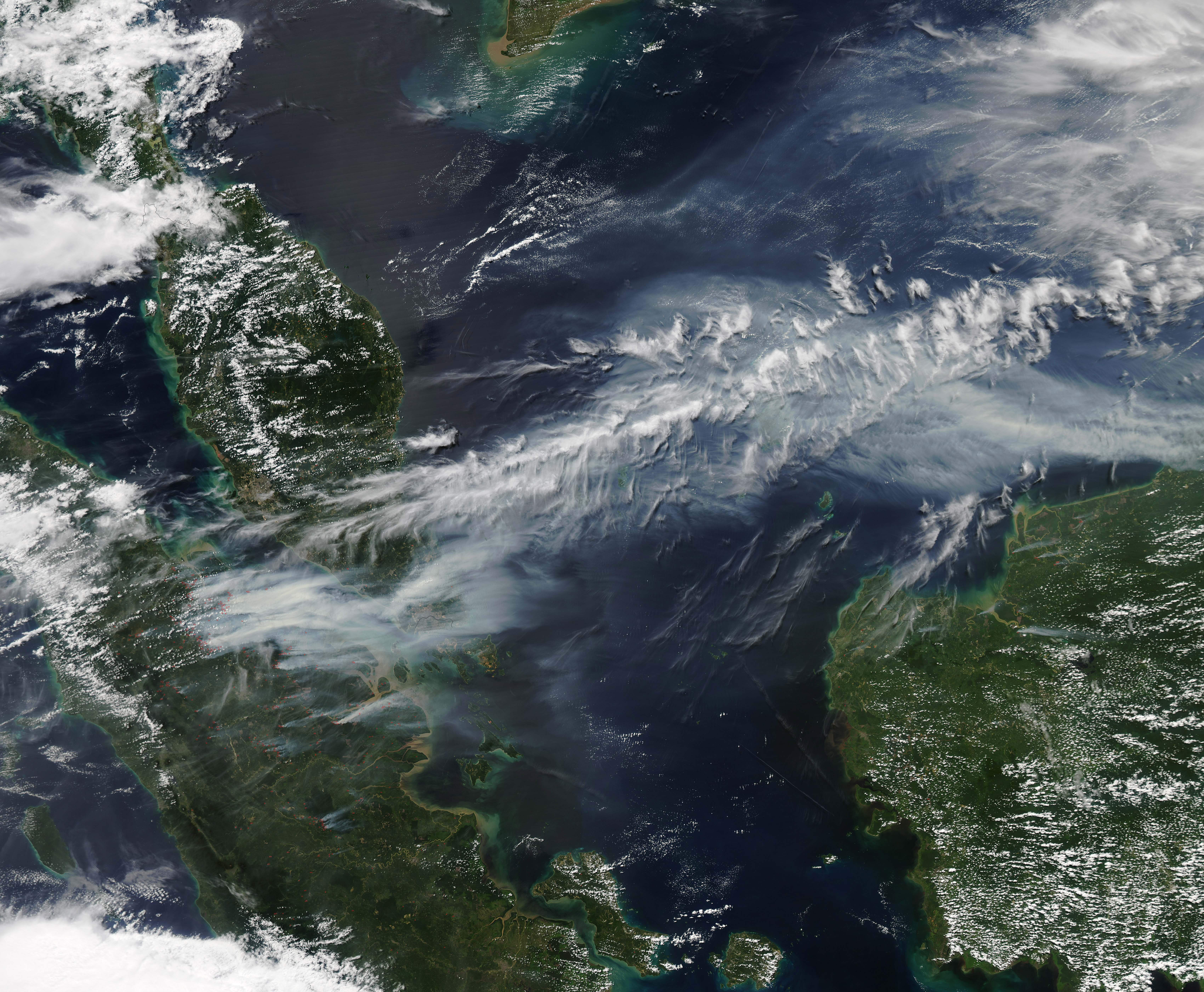
Free global forecasts of air pollution, smoke and dust, made twice a day; more than 23,500 users (CAMS, 2024).
You can't protect what you can't measure. These satellites map moving ground, forest carbon, methane leaks and the ozone over the whole planet, and much of their data is free for anyone to use.
NASA, ISRO, ESA and NOAA, plus Carbon Mapper and Planet.
Satellites that map moving ground, forest carbon, methane leaks and the whole sunlit Earth.
Ongoing; each mission section below gives its own dates and sources.
Low Earth orbit and the Sun-Earth L1 point (DSCOVR).
You can't protect what you can't measure, and much of this data is free for anyone to use.
Active Earth Observation
Free global forecasts of air pollution, smoke and dust, made twice a day; more than 23,500 users (CAMS, 2024).
Active Earth Observation
Free hourly global rainfall maps from a constellation of satellites; 18,673 registered users in 163 countries and regions (JAXA).
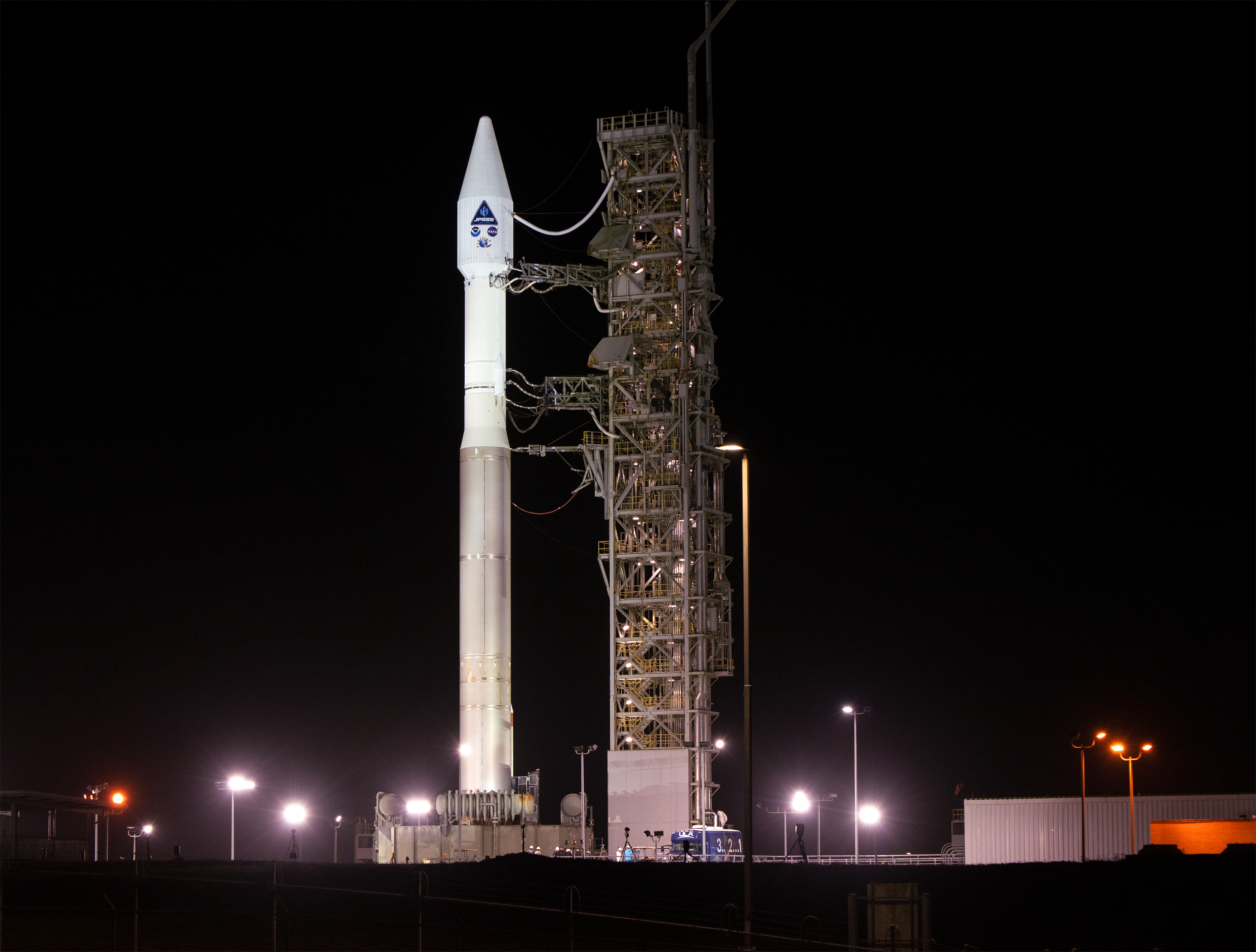
Active Earth Observation
Polar weather satellites behind forecasts and hurricane warnings; polar orbiters supply about 85% of weather model data (NOAA).
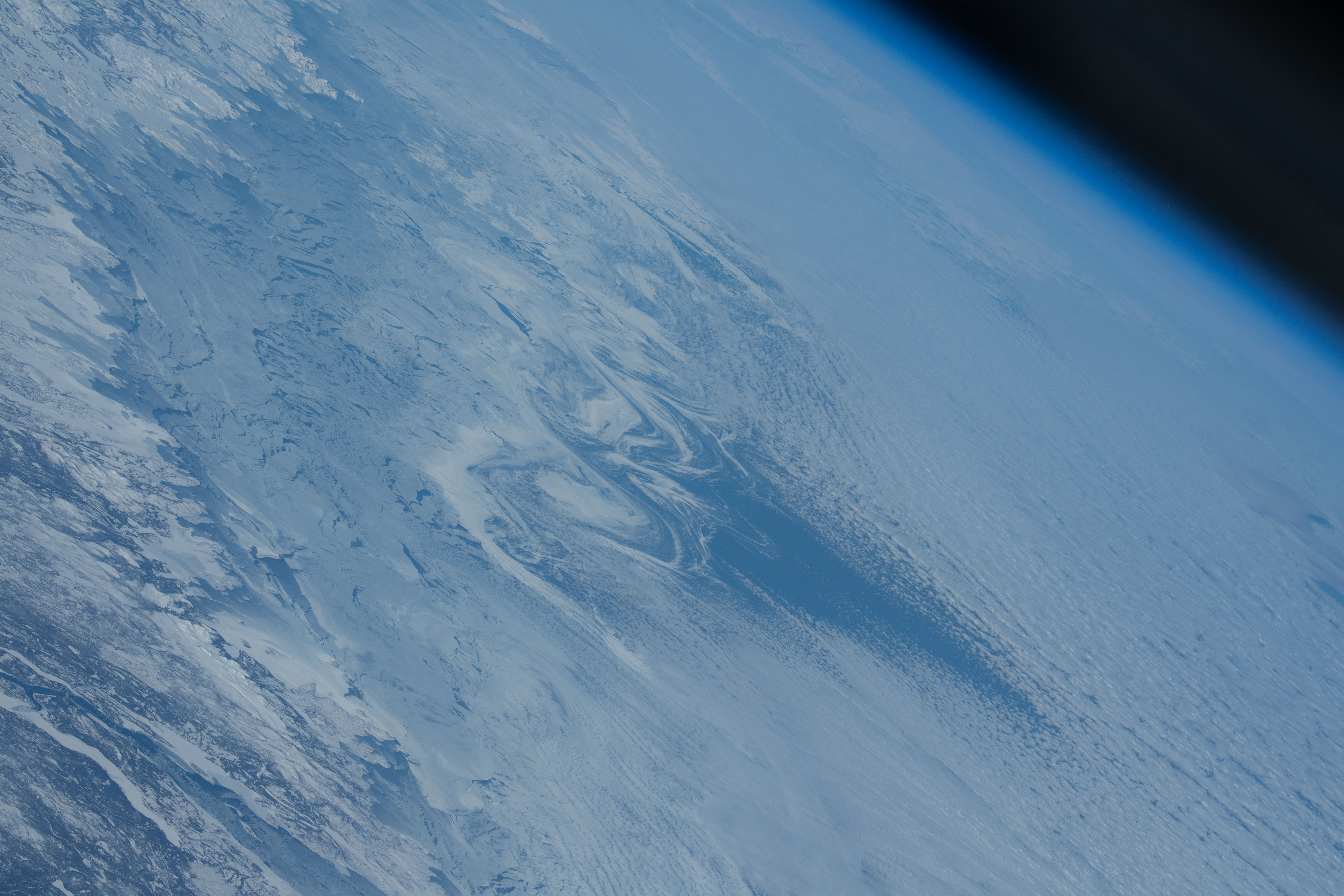
Active Earth Observation
Three radar satellites that see through cloud, watching sea ice, ships and floods; free public images (Canadian Space Agency).
Active Earth Observation
The Global Learning and Observations to Benefit the Environment (GLOBE) Program is an international science program that provides the public worldwide with the opportunity to participate in data collection and the scientific process, and contribute meaningfully to our understanding of the Earth system and global environment. 975,003 citizen scientists in 127 countries (GLOBE figures, November 10, 2026).
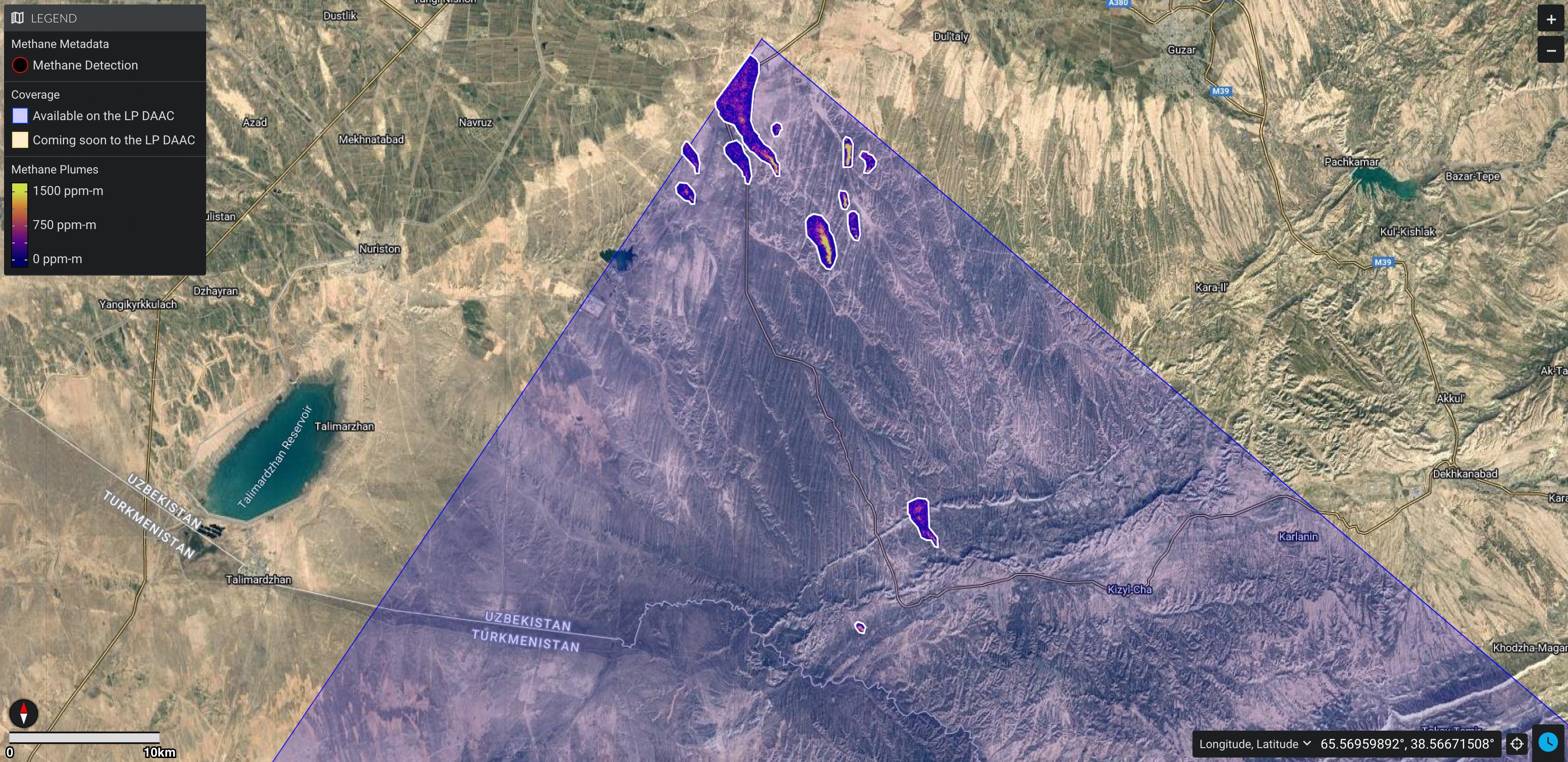
Active Earth Observation
UN satellite alerts tell governments and companies about huge methane leaks; 25 cases of action in 10 countries since 2022 (UNEP).
Active Earth Observation
Free near-real-time fire maps and email alerts from NASA satellites; global data within 3 hours (NASA FIRMS).
Active Earth Observation
EU satellite mapping for disasters, 24/7 since 2012; more than 1,000 activations reaching over 120 countries (Copernicus EMS).
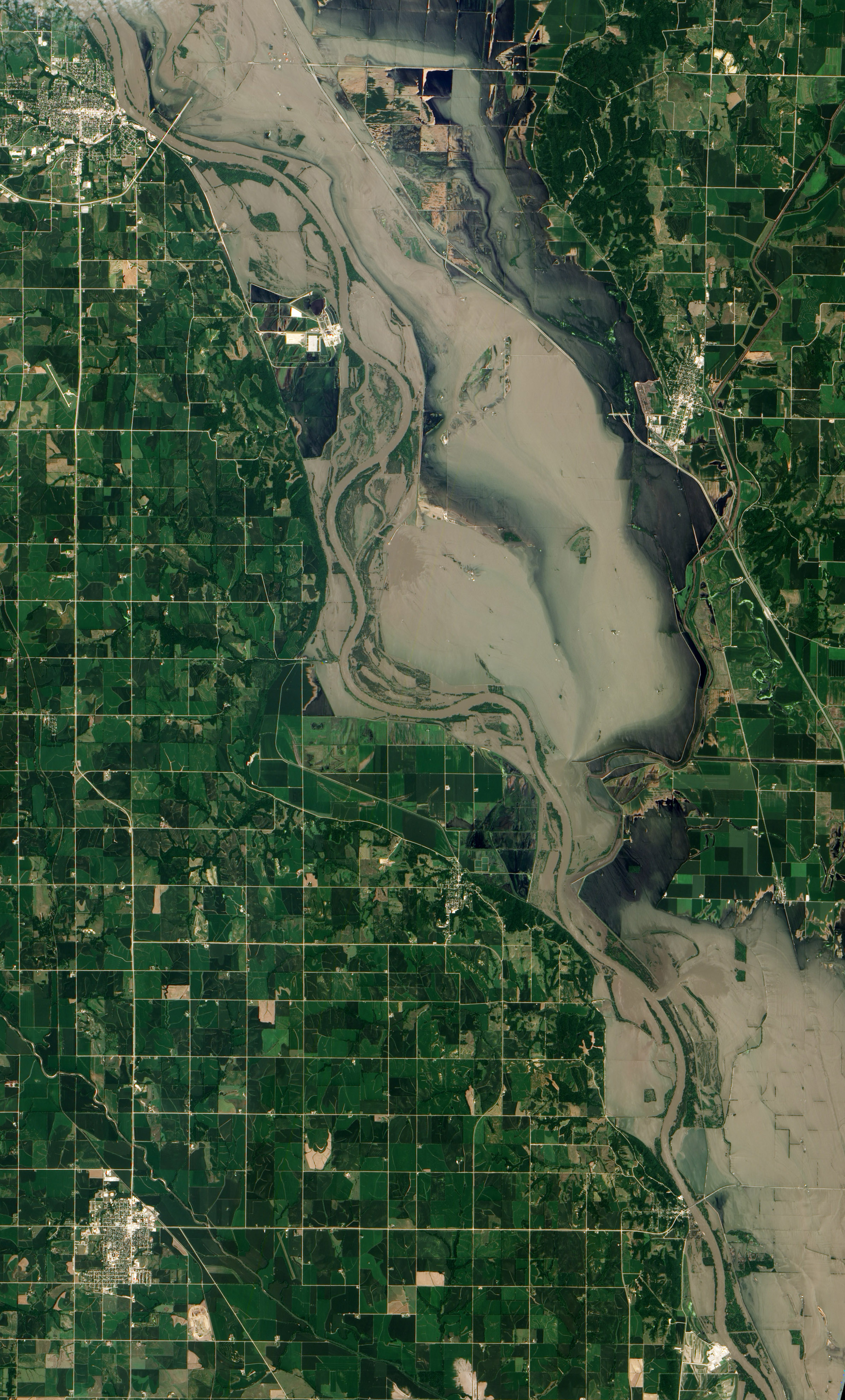
Active Earth Observation
Space agencies share free satellite images with rescue teams after major disasters; 1,000 activations in 146 countries (International Charter).
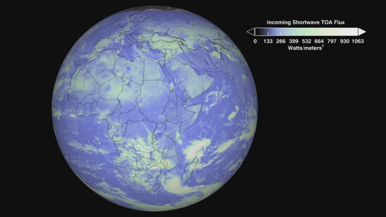
Image: NASA Goddard Space Flight Center
Active Earth Observation
A new instrument that will measure the energy Earth sends back to space; set to fly on JPSS-4 in 2027 (NASA).
Active Earth Observation
Measures ocean color, sea level, temperatures, ice and wildfires; Sentinel-3C joined the fleet in September 2026 (ESA).
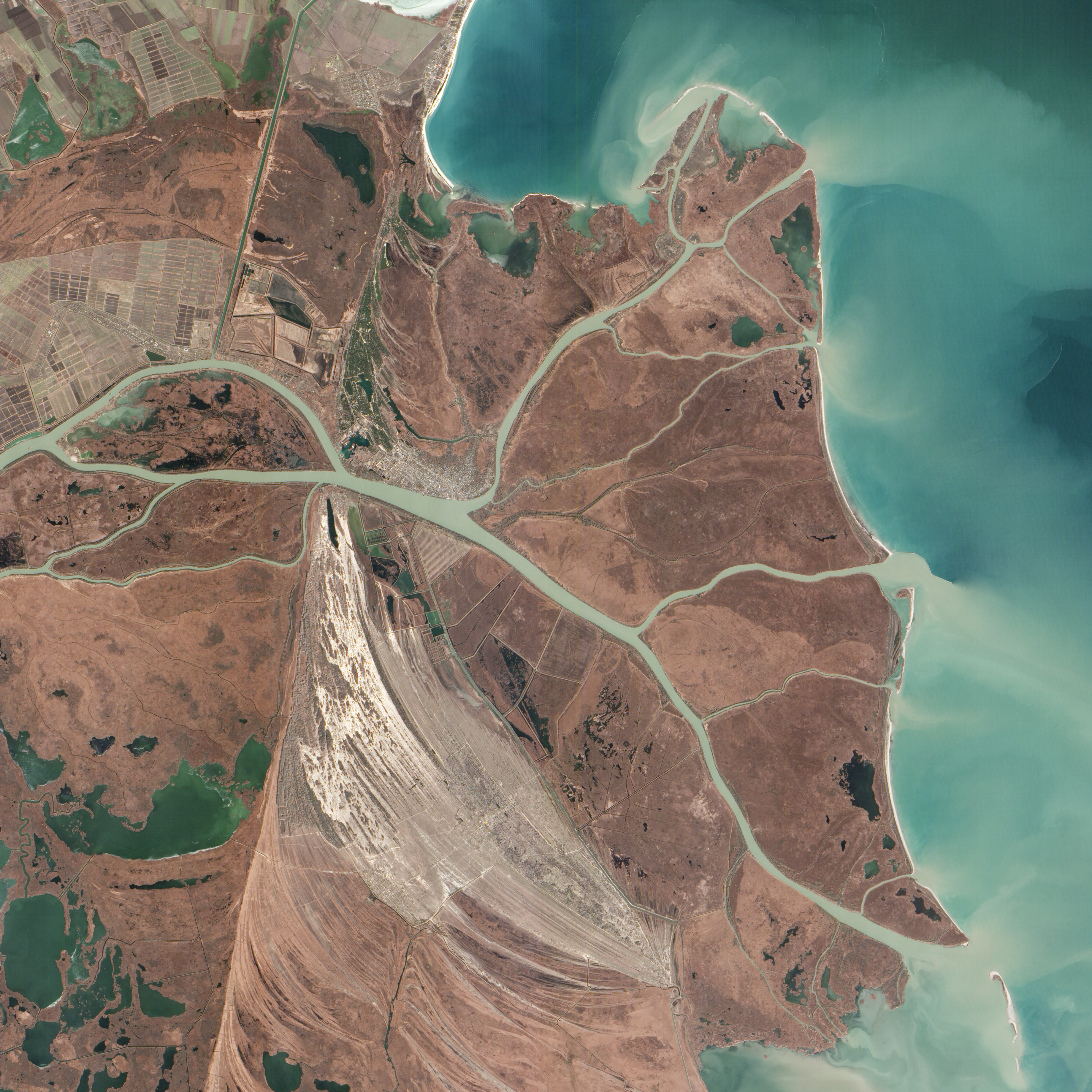
Active Earth Observation
Two small satellites that read reflected GPS-style signals to measure soil moisture and wetlands; data free worldwide since July 2026 (ESA).
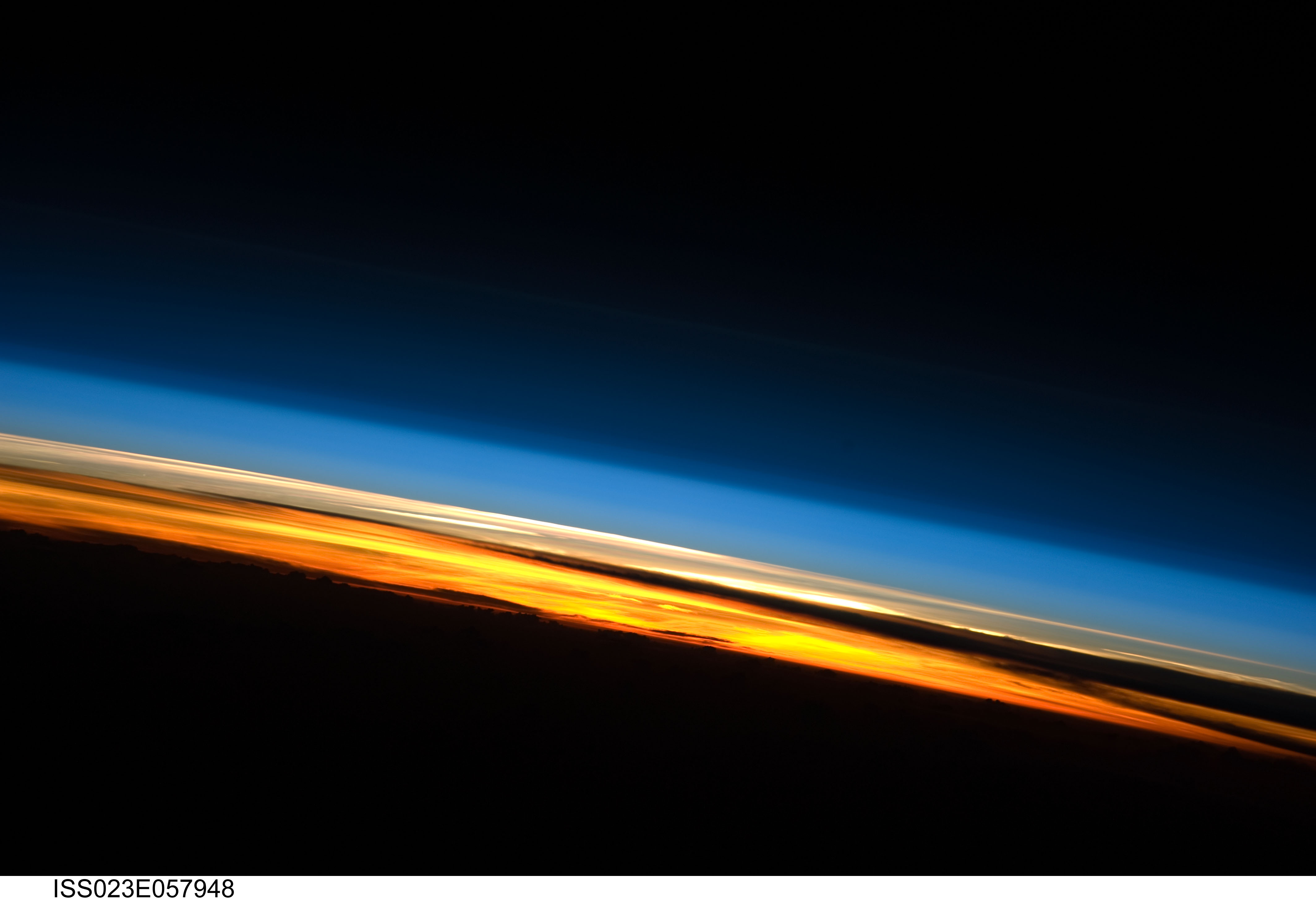
Active Polar
Two tiny CubeSats measuring how much heat the Arctic and Antarctica release to space; extended through at least September 2026 (NASA JPL).
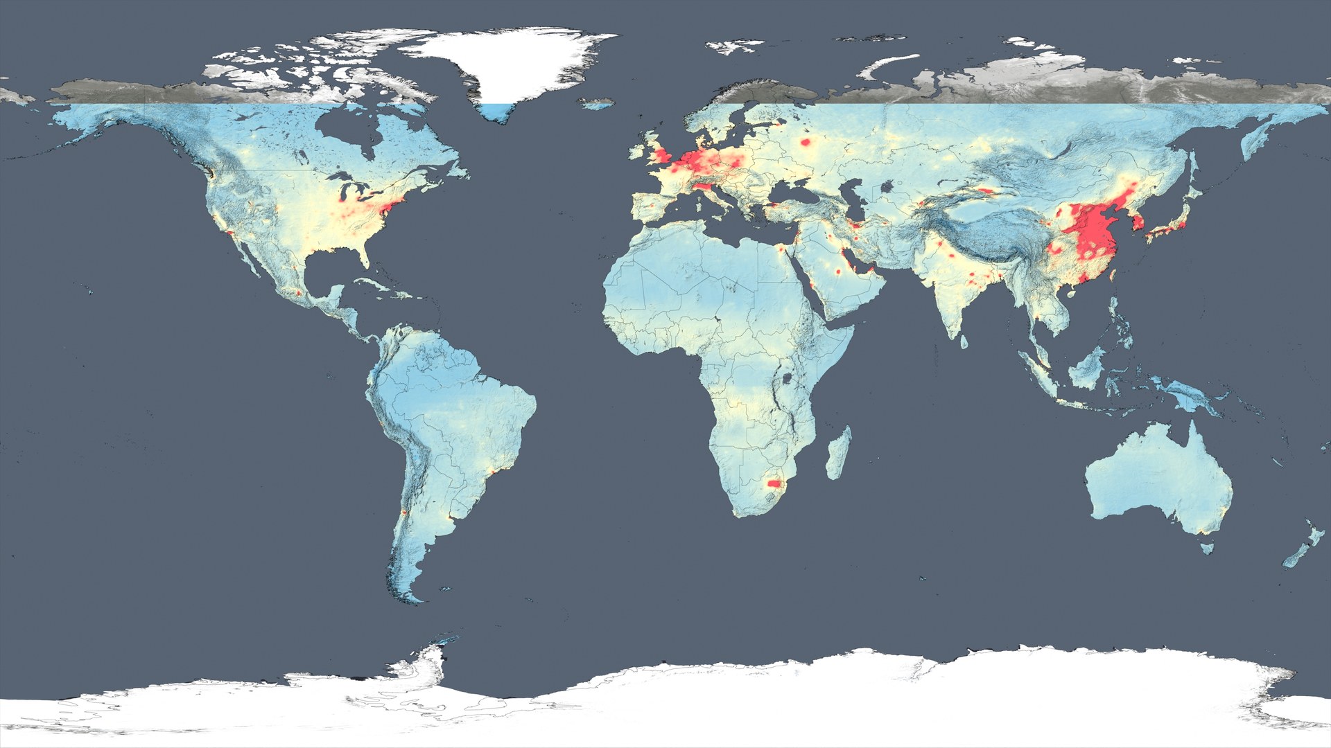
Image: NASA's Goddard Space Flight Center
Active Earth Observation
The first Copernicus mission dedicated to the atmosphere; maps air pollution and methane worldwide every day (ESA).
Active Earth Observation
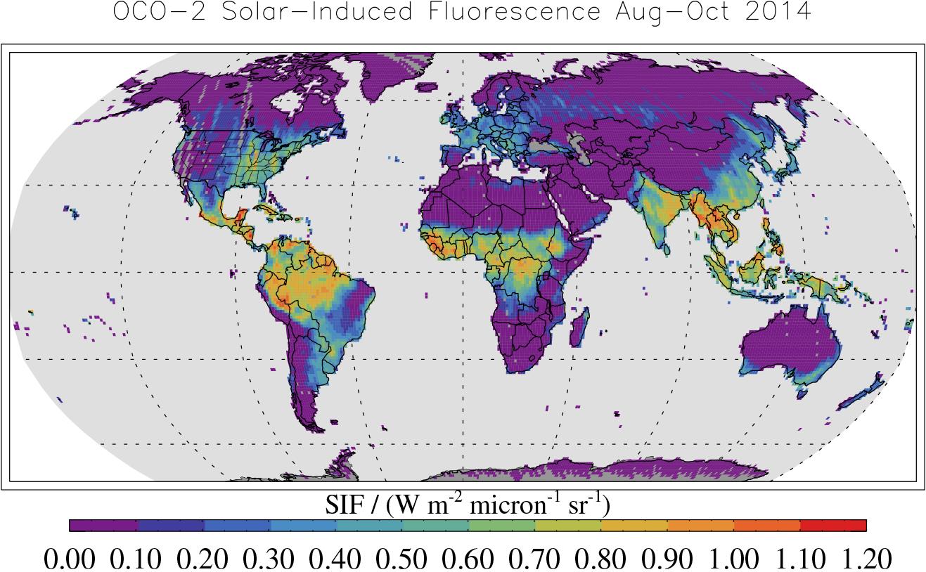
Measures carbon dioxide around the planet to find carbon sources and sinks; launched in 2014 and still working (NASA JPL).
Active Earth Observation
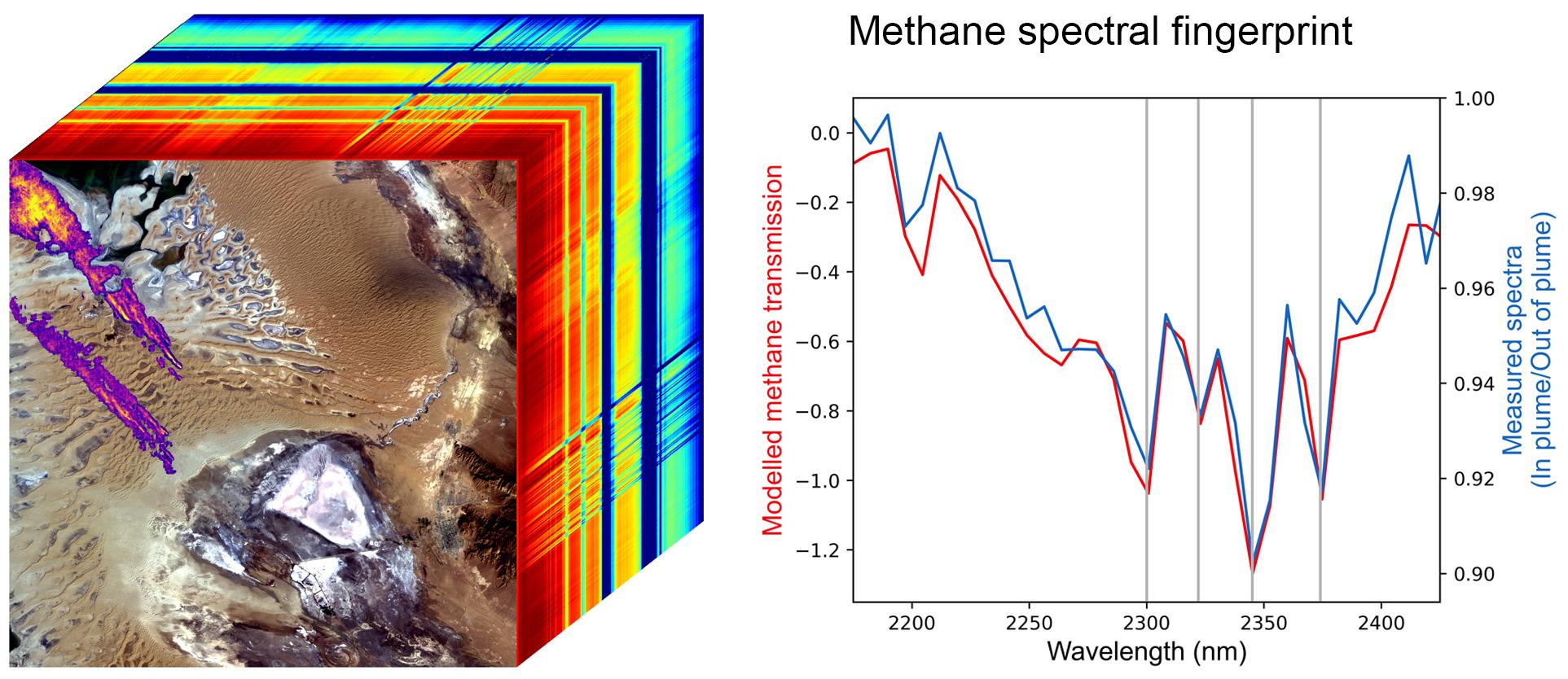
An imaging spectrometer on the space station that maps desert dust minerals and spots large methane leaks (NASA JPL).
Active Earth Observation
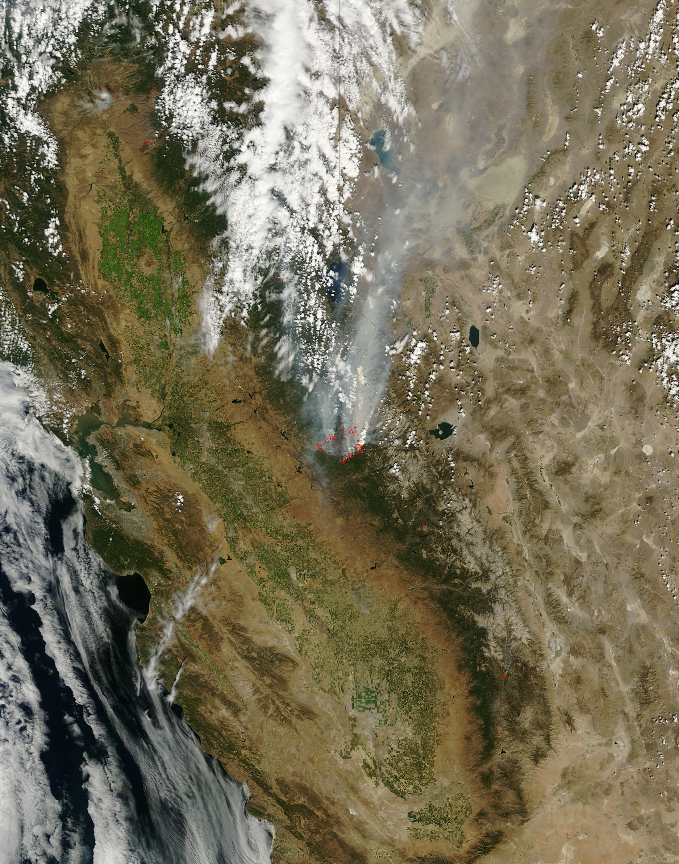
New FireSat satellites can spot wildfires as small as 5 by 5 meters; the first three reached orbit in July 2026 (Earth Fire Alliance).
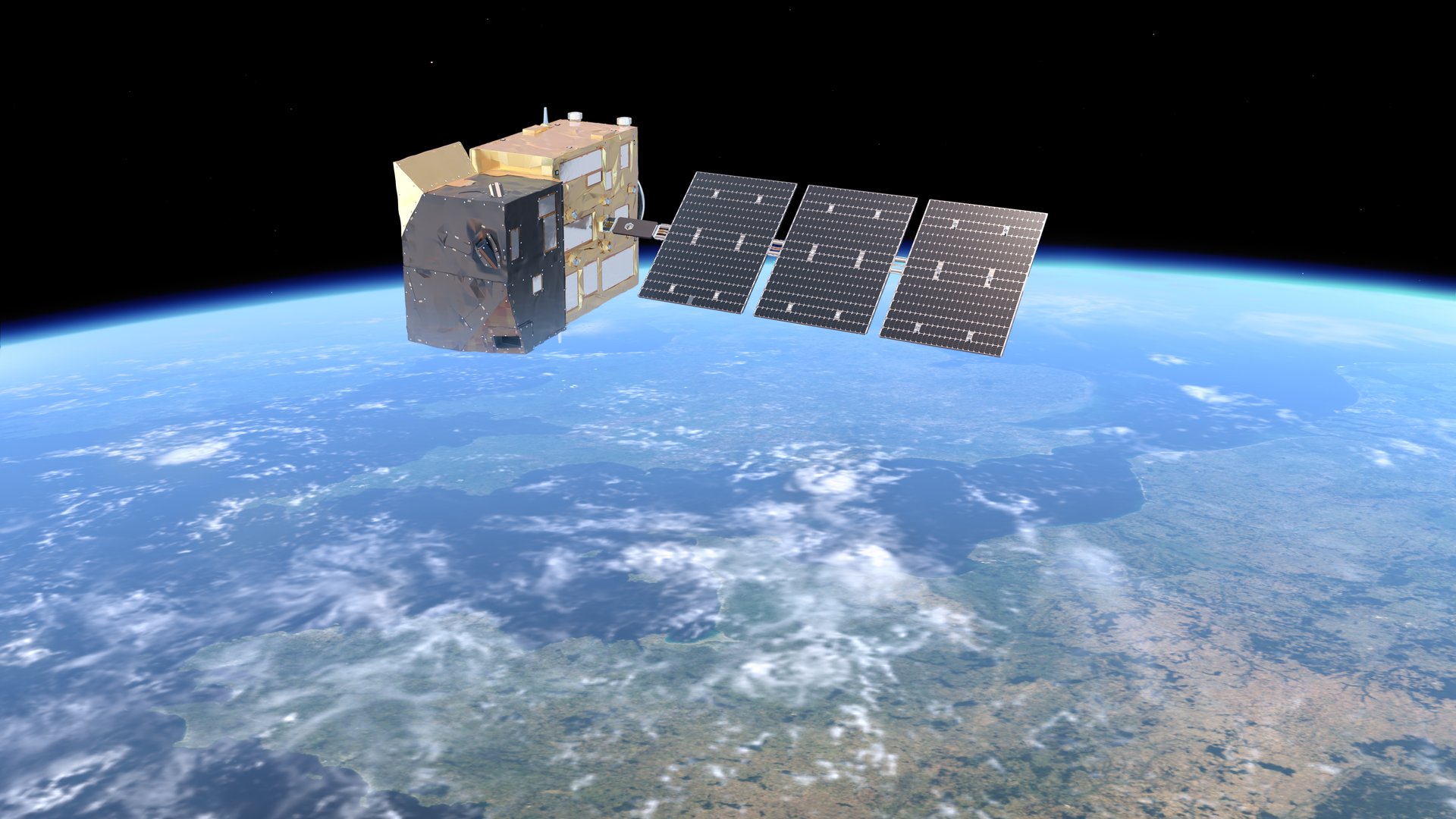
Image: ESA/Mlabspace
Active Earth Observation
Three planned satellites will measure the carbon dioxide and methane people release, so countries can check their emission cuts; first launch planned for 2027 (ESA).
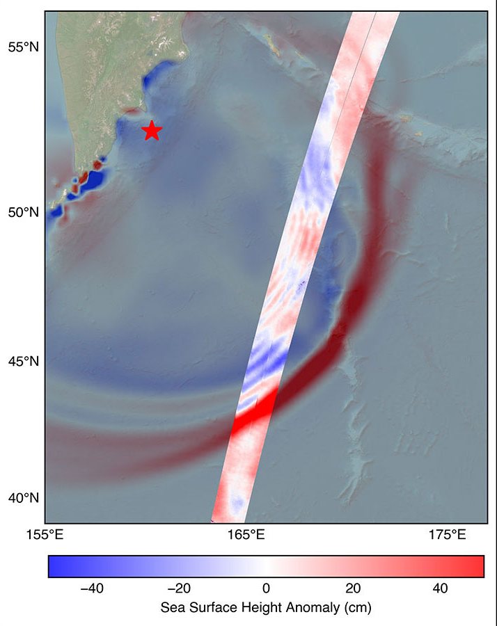
Active Earth Observation
Deep-ocean buoys, satellites, GPS signals and seafloor cables spot tsunamis in the open ocean so coastal communities get time to reach high ground (NOAA, NASA).
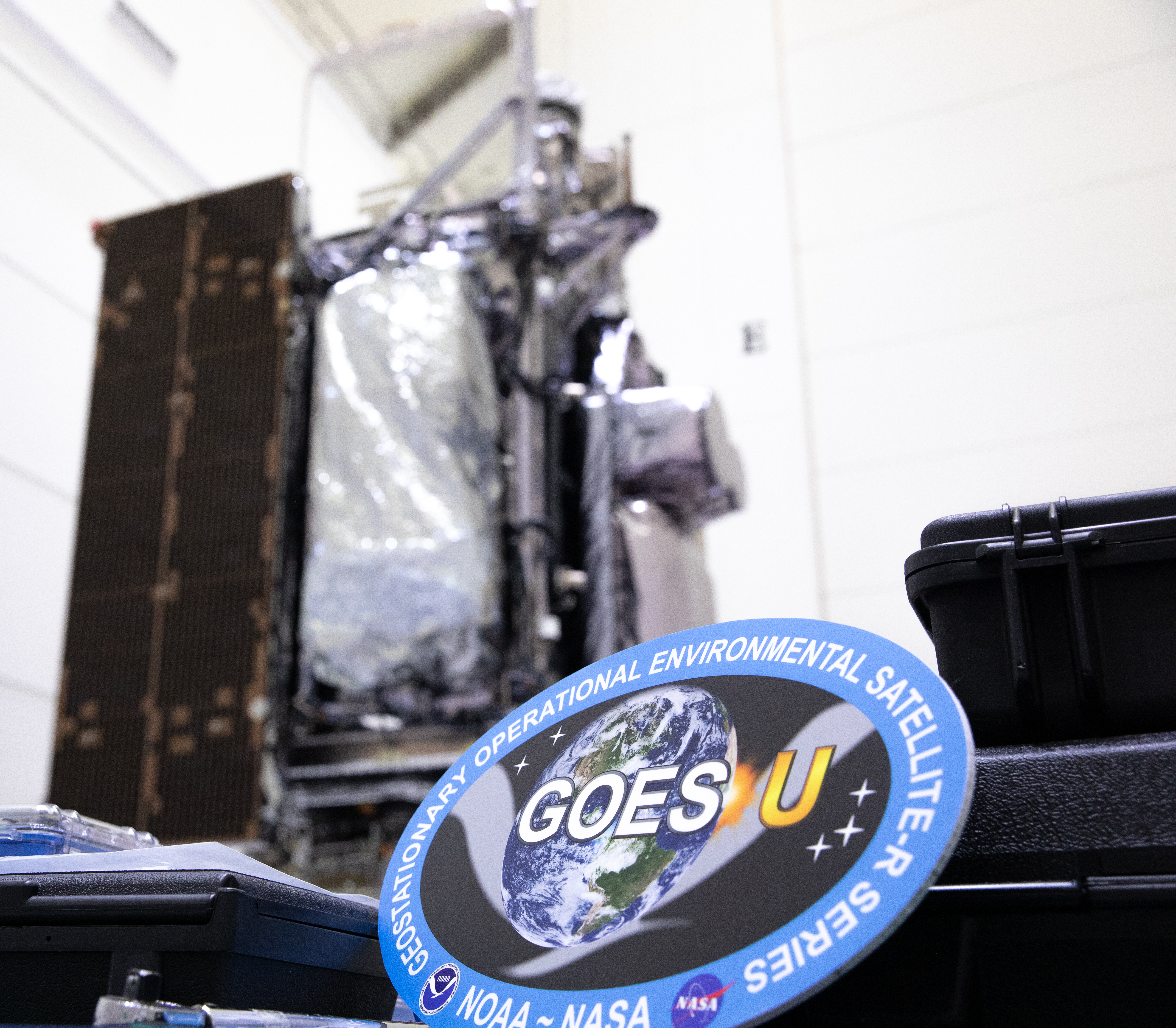
Active Earth Observation
NOAA's SARSAT satellites relay distress beacon signals to rescuers; the international system has supported more than 50,000 rescues worldwide since 1982 (NOAA).
Active Earth Observation
From geostationary orbit on MTG-S1, Sentinel-4 measures air pollution over Europe and North Africa every hour (ESA).
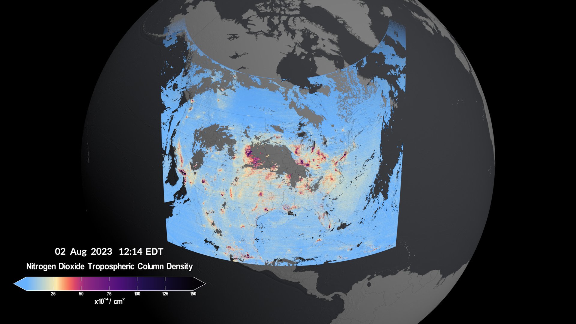
Image: NASA's Scientific Visualization Studio
Active Earth Observation
From geostationary orbit, NASA's TEMPO measures air pollution over North America every daylight hour, a first from space (NASA).
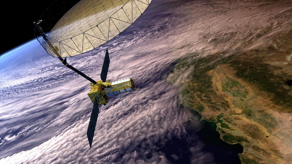
Active Earth Observation
NISAR launched from India on July 30, 2025.
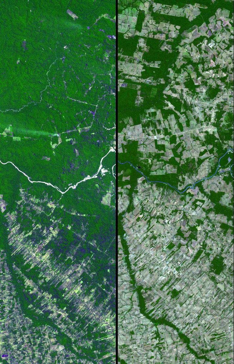
Active Earth Observation
ESA's Biomass satellite launched on April 29, 2025 on Vega-C.
Active Earth Observation
Tanager-1 was built by Planet with a NASA JPL-designed imaging spectrometer for the nonprofit Carbon Mapper coalition.
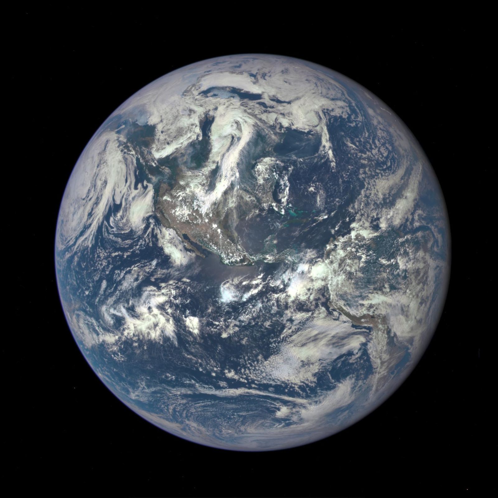
Active Earth Observation
NASA's EPIC camera rides on NOAA's DSCOVR spacecraft at the L1 point, photographing the entire sunlit face of Earth several times a day, with an archive back to 2015.
Active Earth Observation
SWOT measures more than 95% of Earth's lakes larger than 15 acres and rivers wider than 330 feet, the first global survey of fresh water.
Active Earth Observation
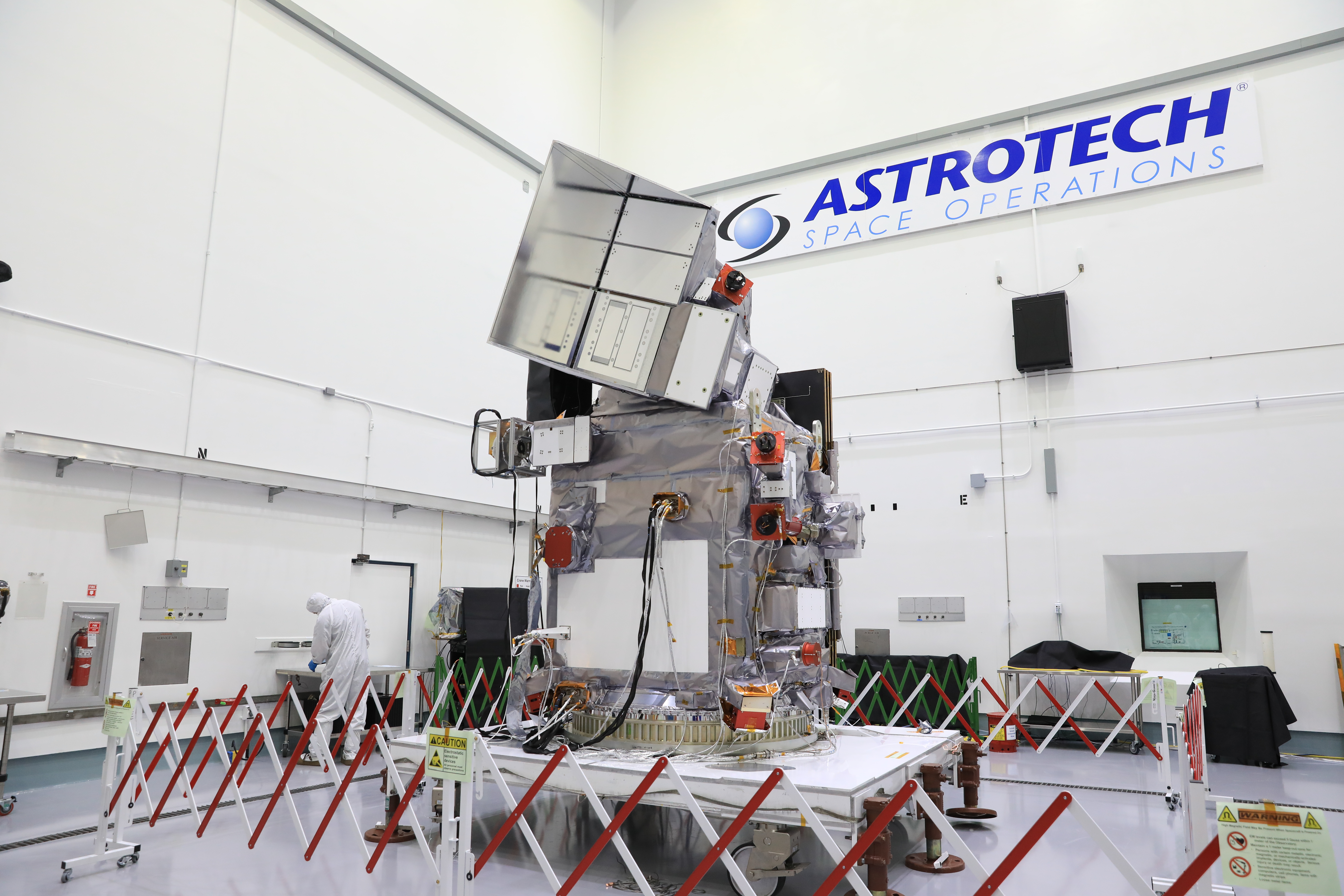
NASA's PACE reads the color of the ocean to track phytoplankton, the base of the marine food web, plus aerosols and clouds.
Active Earth Observation
Sentinel-6B, launched November 17, 2025, continues the precise record of global sea level that began in the early 1990s.
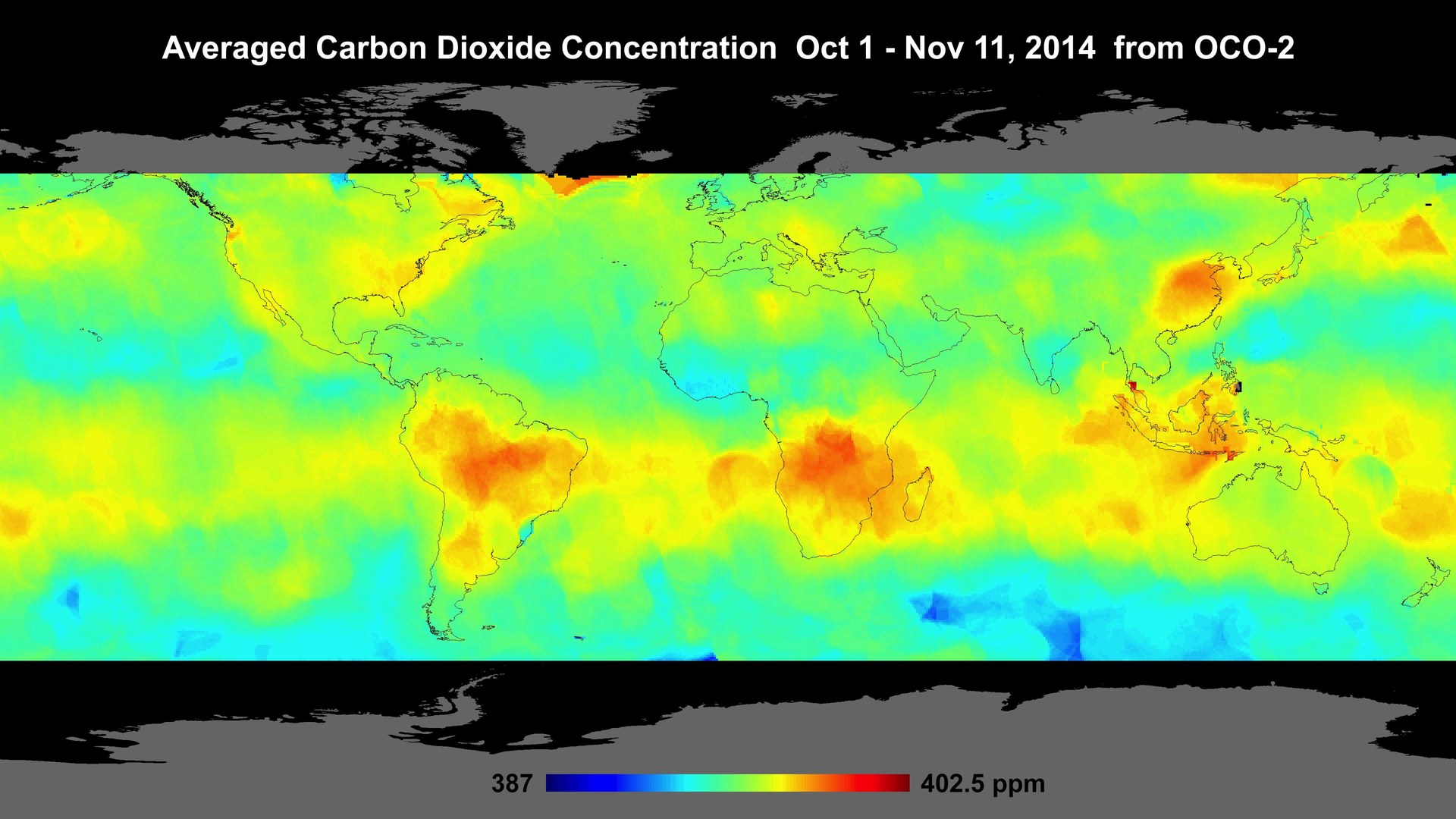
Image: NASA/JPL-Caltech
Active Earth Observation
JAXA's IBUKI GW tracks carbon dioxide, methane and nitrogen dioxide while also measuring the water cycle.
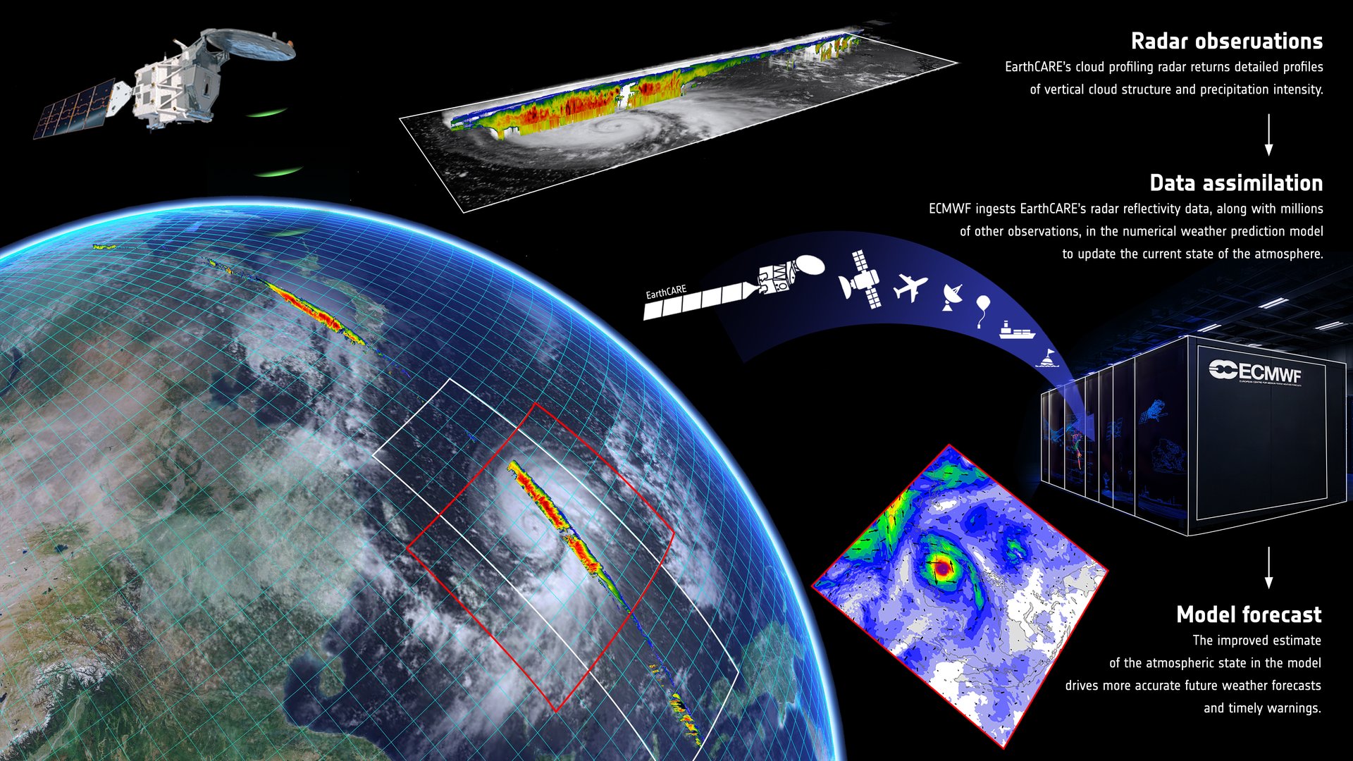
Image: ESA
Active Earth Observation
ESA–JAXA EarthCARE carries the first space cloud radar that can measure how cloud particles move up and down.
Active Earth Observation
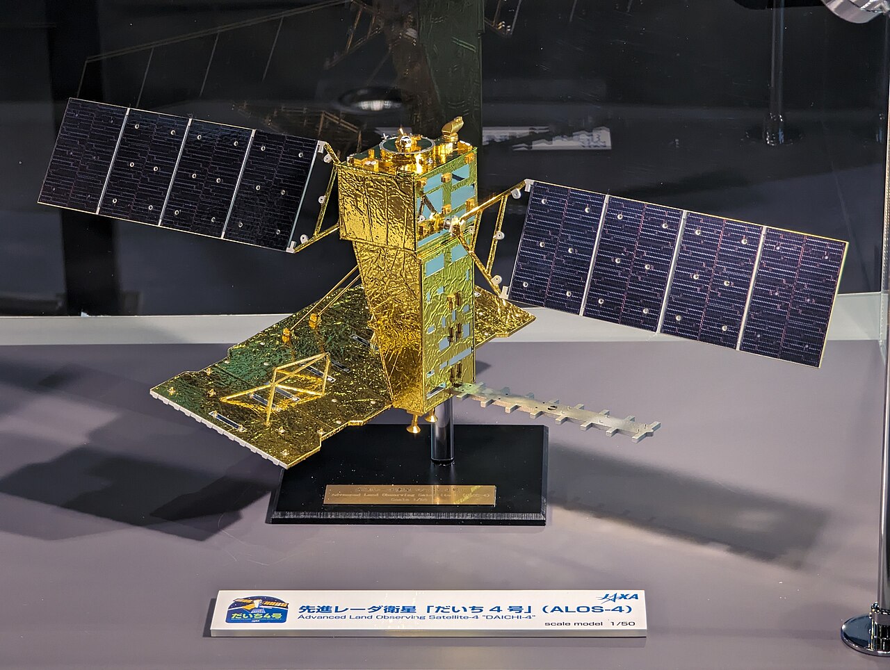
JAXA's DAICHI-4 radar sees through clouds over a 200 km swath, continuing the radar record used for deforestation alerts.
Active Earth Observation
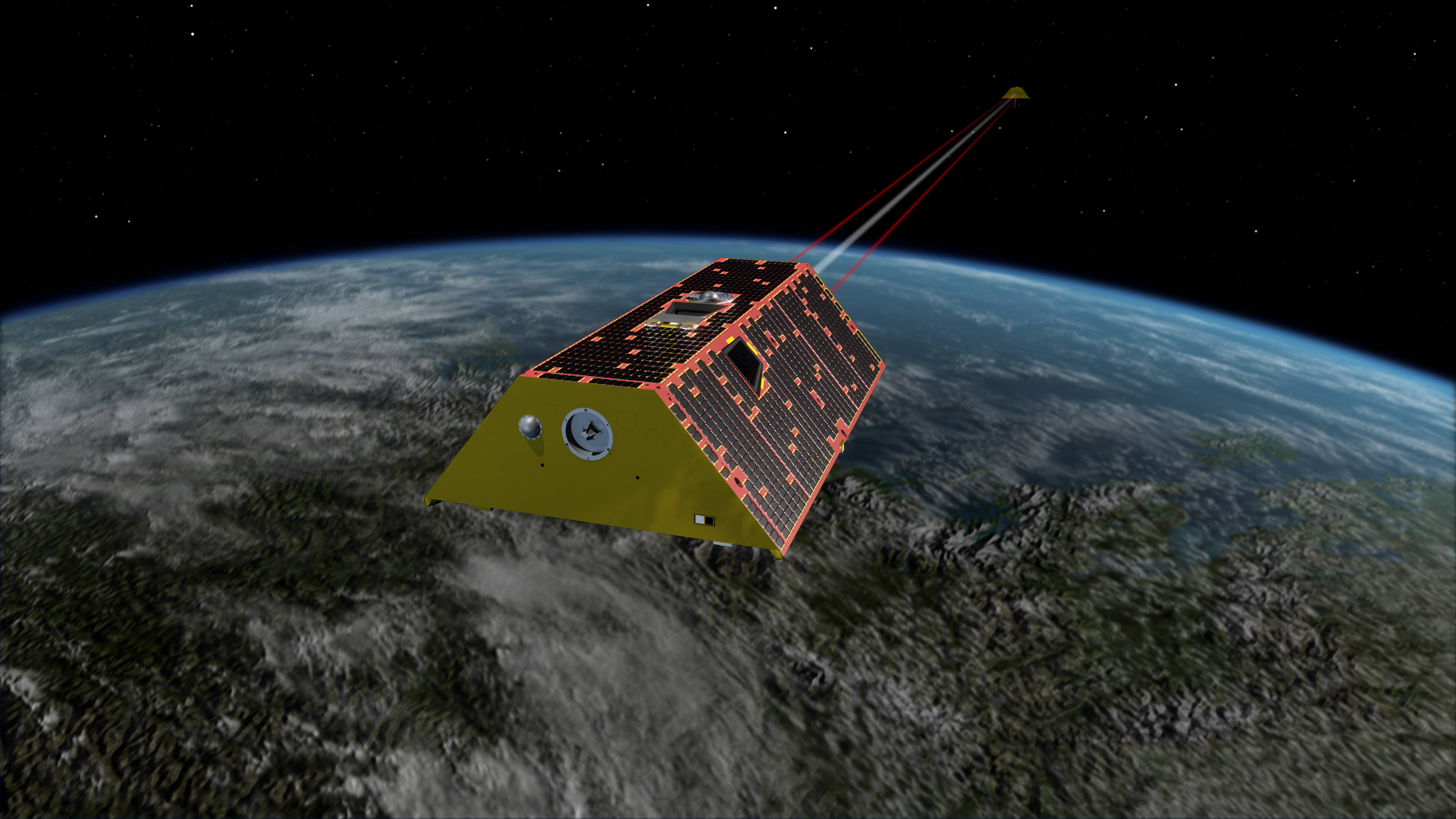
Twin US-German satellites weigh Earth's water by measuring gravity, tracking groundwater, ice and sea level since 2018.
Active Polar
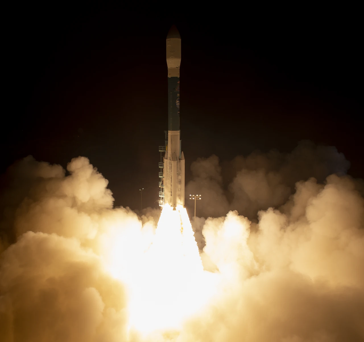
NASA's ICESat-2 laser fires 10,000 pulses a second to measure ice sheets, sea ice, forests and coastal seafloor in 3D.
Active Earth Observation
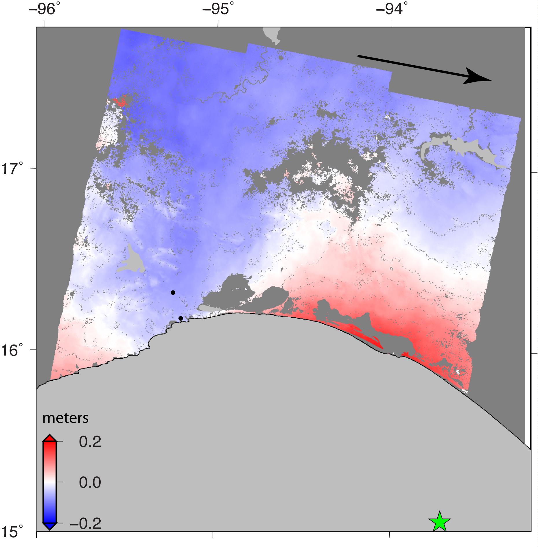
Sentinel-1 radar sees through clouds, day and night, to map floods, earthquakes and ice; Sentinel-1C and 1D joined in 2024 and 2025.
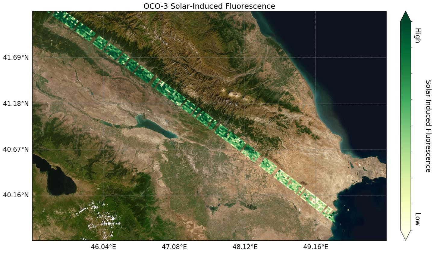
Image: NASA/JPL-Caltech
Active Earth Observation
Launched together on September 15, 2026, ESA's FLEX maps the faint glow of photosynthesis while Sentinel-3C watches oceans and land.
Active Earth Observation
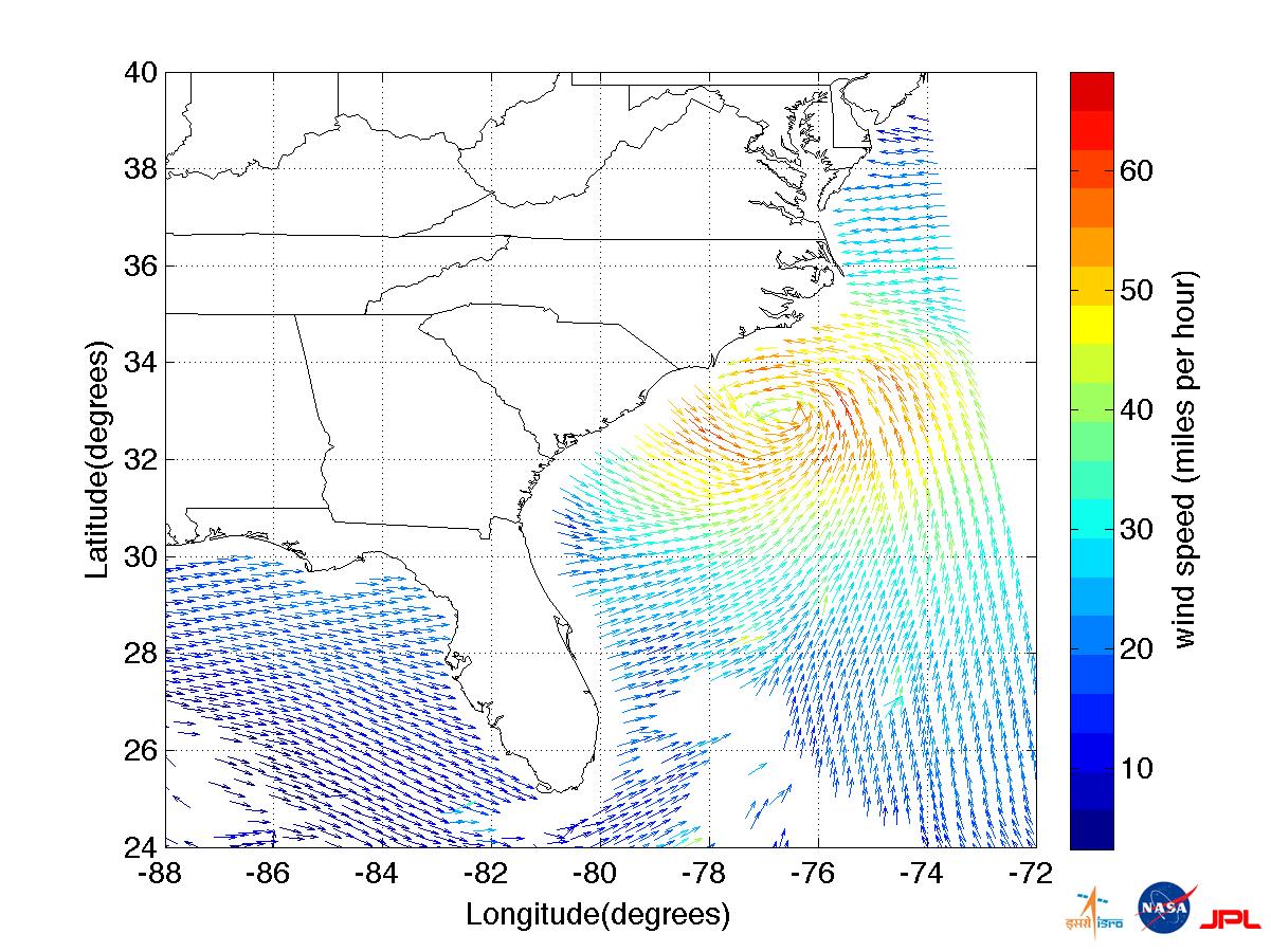
India's EOS-06, the third Oceansat, tracks ocean color, sea-surface temperature and winds; it imaged Cyclone Mandous and an algal bloom on day one.
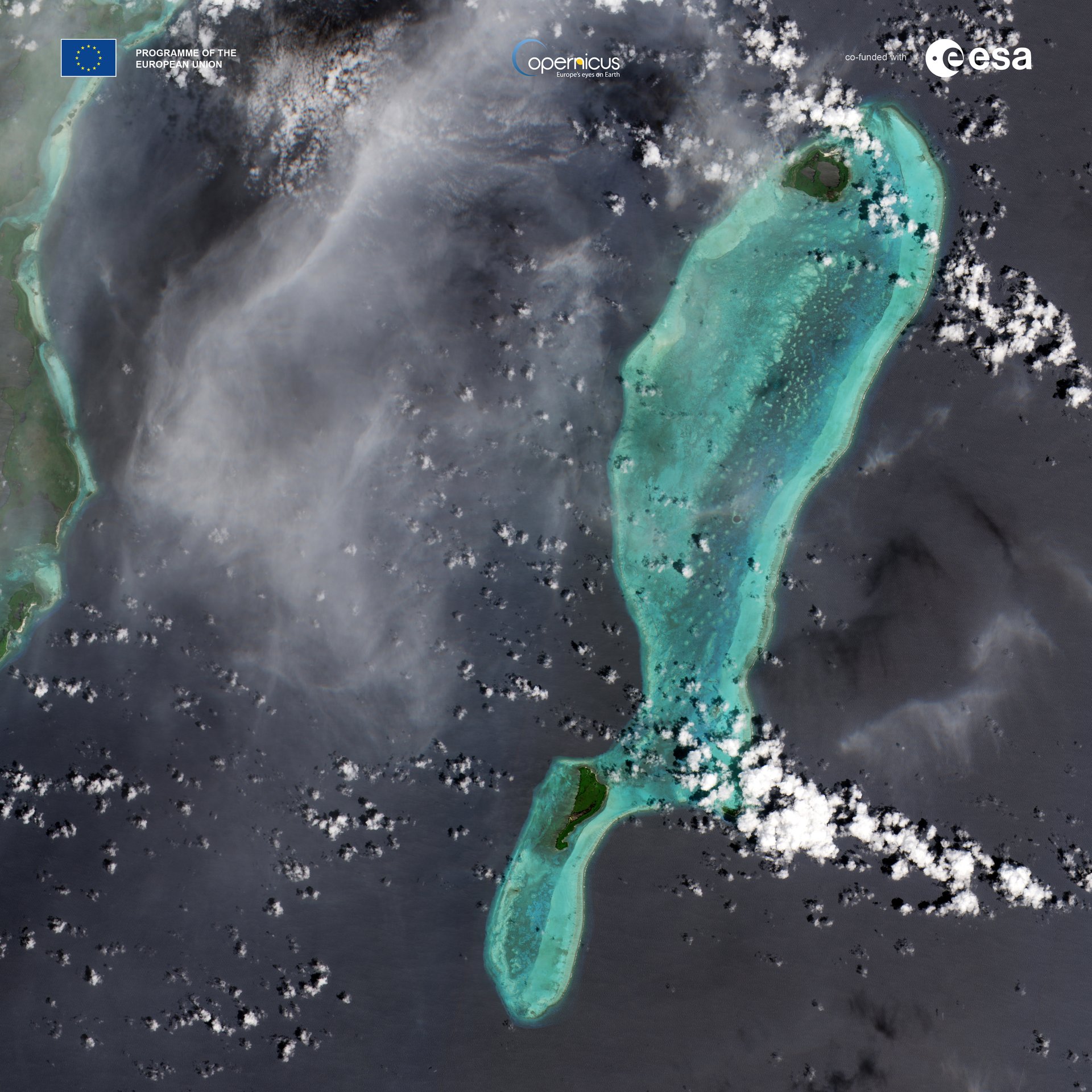
Image: contains modified Copernicus Sentinel data (2024), processed by ESA
Active Earth Observation
Sentinel-2C joined the Copernicus fleet in September 2024, imaging land and coasts in 13 bands so forests and crops are checked every five days.
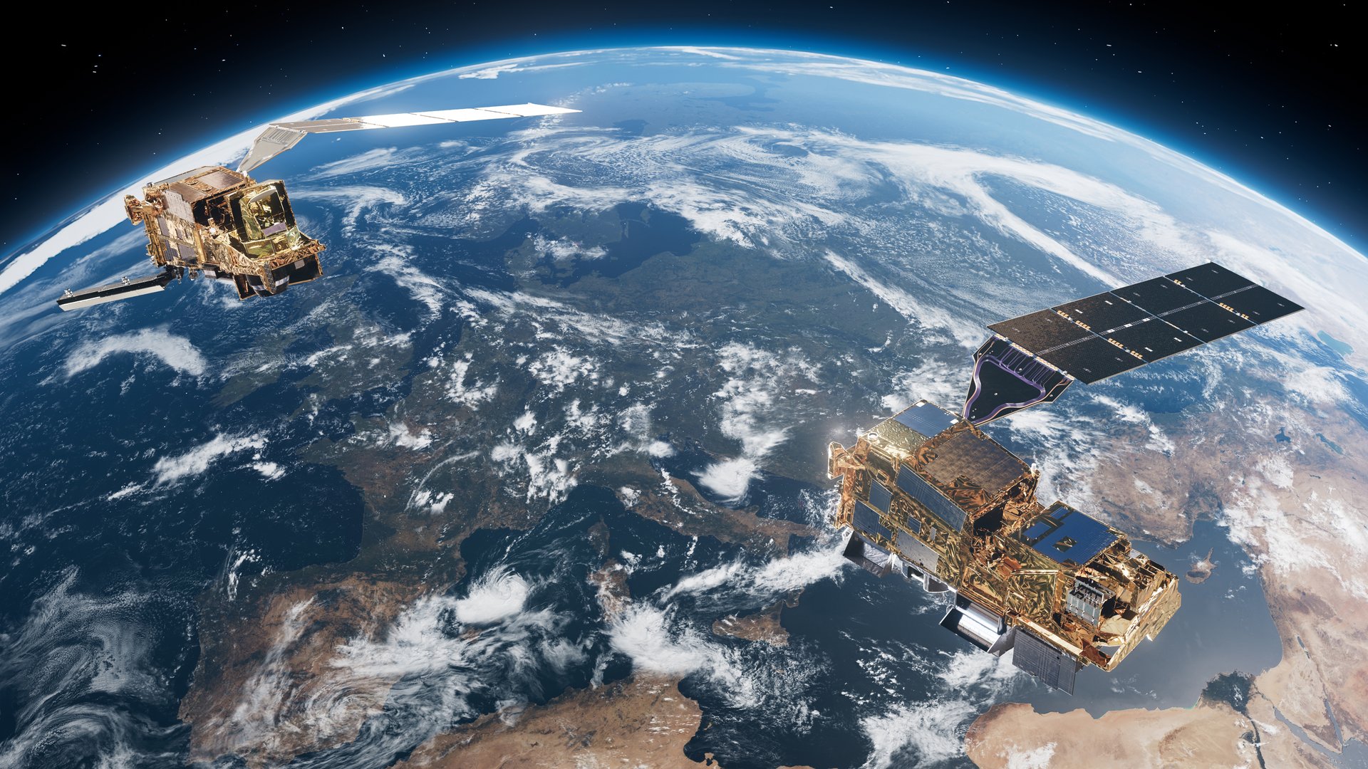
Image: ESA/ATG medialab
Active Earth Observation
Launched August 2025 on Ariane 6, MetOp-SG-A1 carries Sentinel-5, which delivers daily global data on air pollutants, ozone and climate gases.
Active Earth Observation
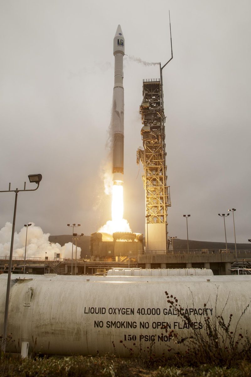
Landsat 9 continues a 50-year record of Earth’s land, collecting 740 scenes a day and, with Landsat 8, seeing each place every 8 days.
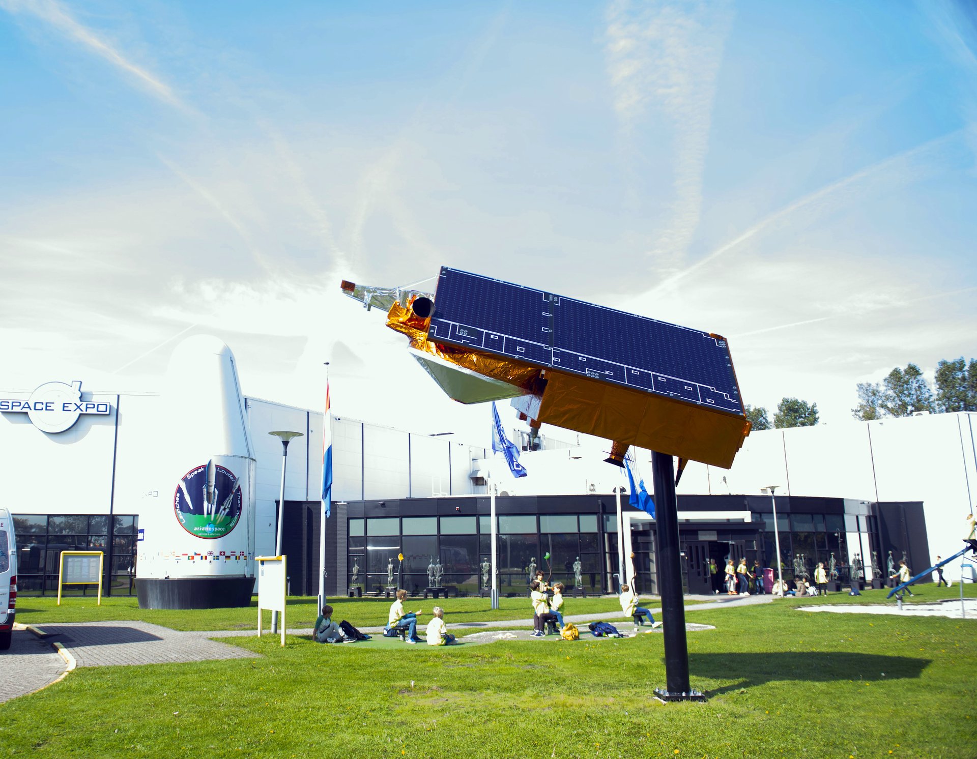
Image: ESA–S. Wandzilak
Active Polar
CryoSat measures polar sea ice and the great ice sheets from space, and its data revealed 85 hidden lakes under Antarctica (ESA).
Active Earth Observation
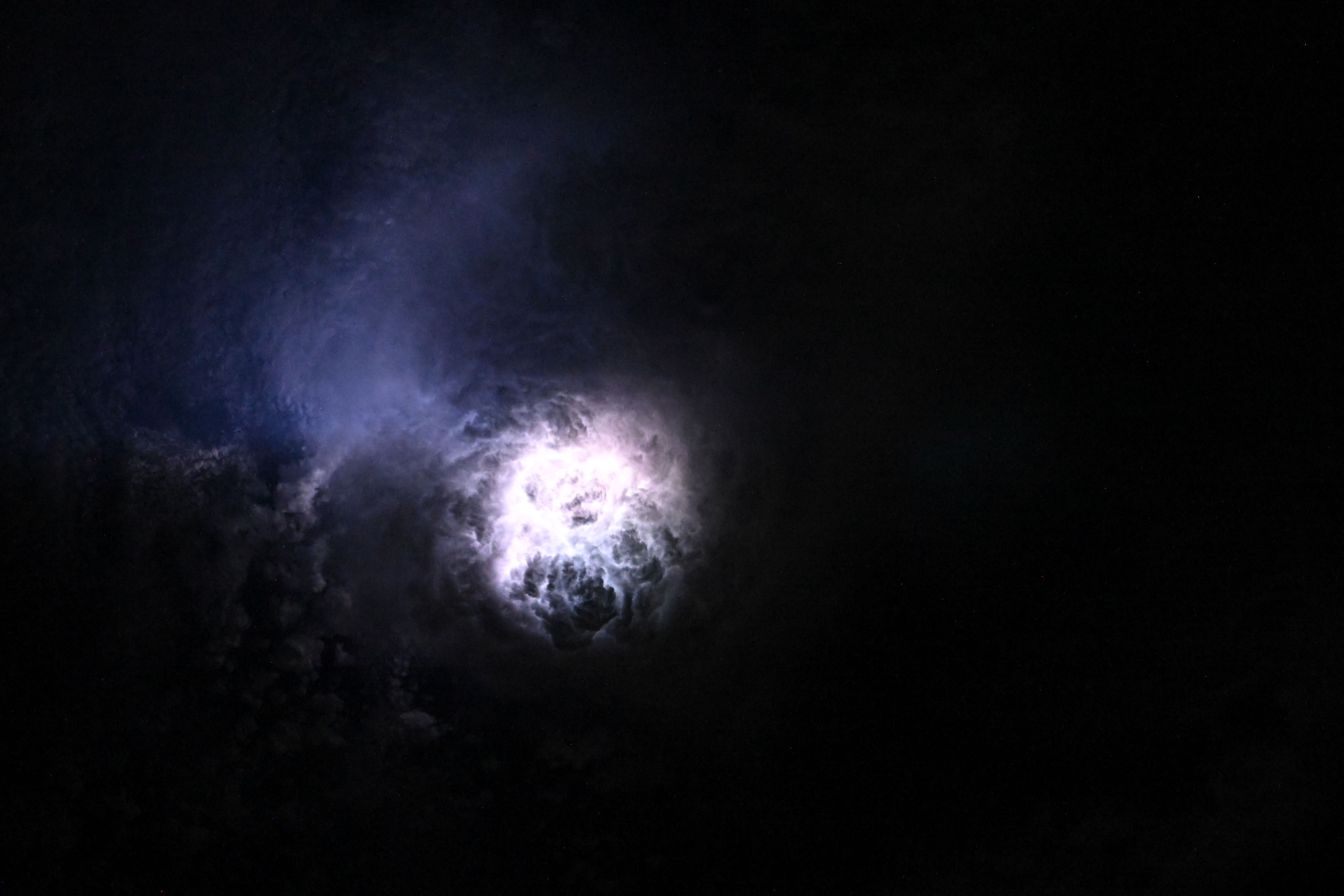
Three weather satellites now watch Europe and Africa from 36,000 km up, with new images every 2.5 minutes and a camera that catches lightning day and night (ESA).
Active Earth Observation
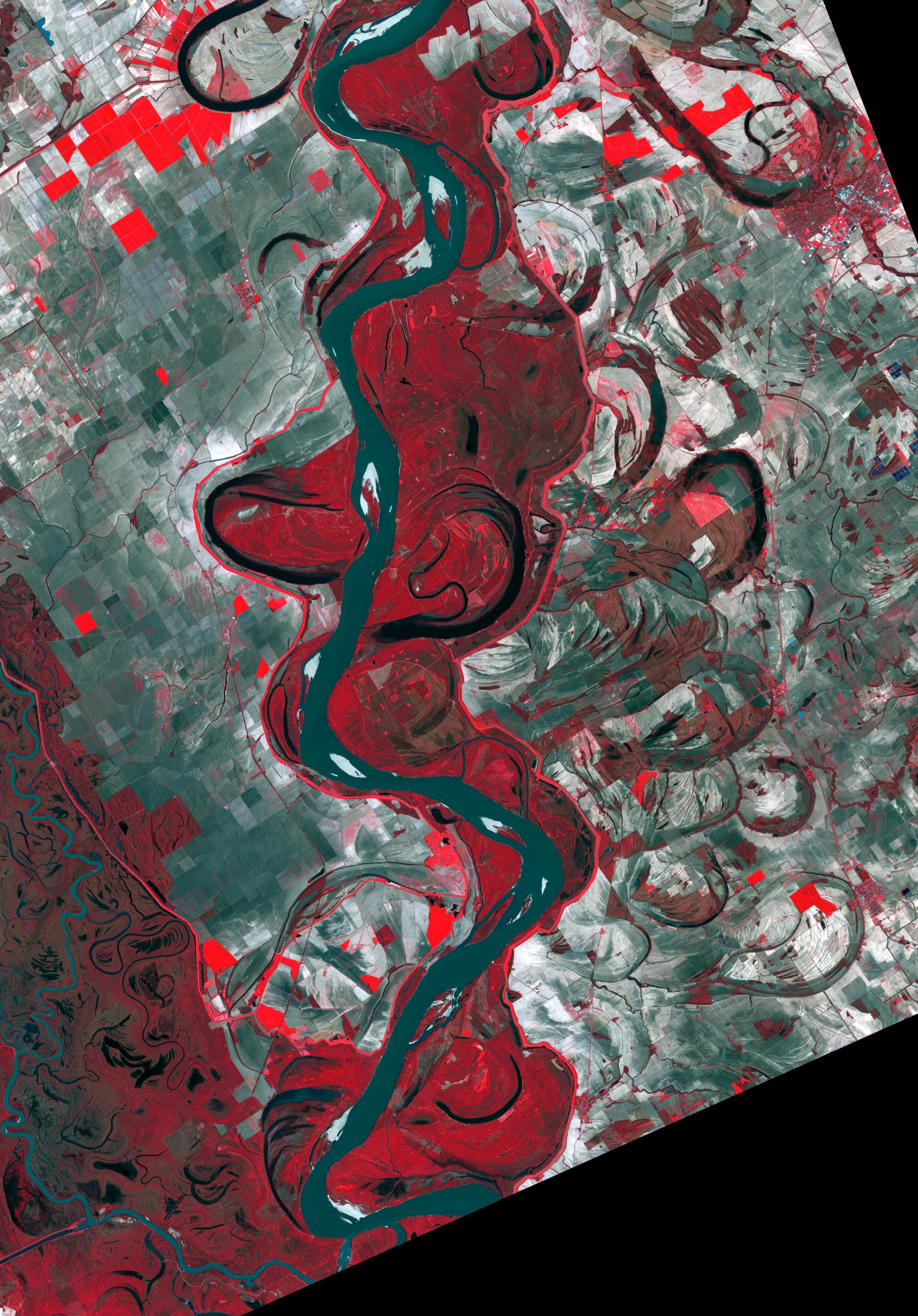
SMAP maps the water in Earth's soil from space, helping improve predictions of weather, floods and droughts (NASA).
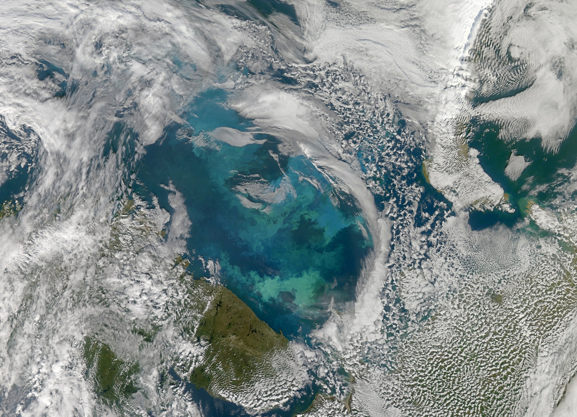
Image: NASA Goddard Space Flight Center
Active Earth Observation
Japan's SHIKISAI satellite checks the health of Earth from space every 2 or 3 days, tracking clouds, aerosols, ocean color, plants, snow and ice (JAXA).
Active Earth Observation
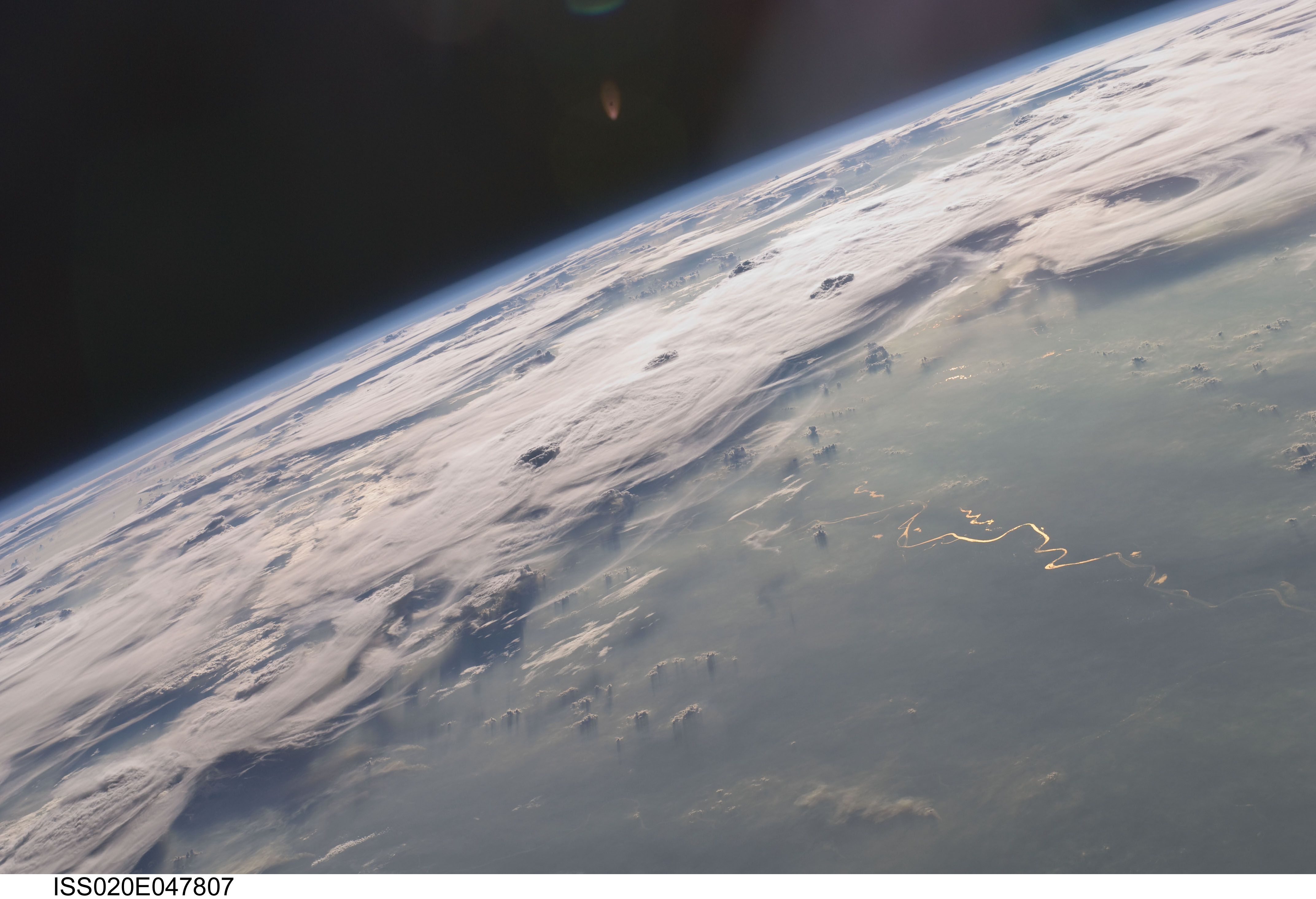
ESA's FORUM will measure Earth's outgoing far-infrared radiation, never measured from space before, filling a missing piece of the climate jigsaw (ESA).
Active Polar
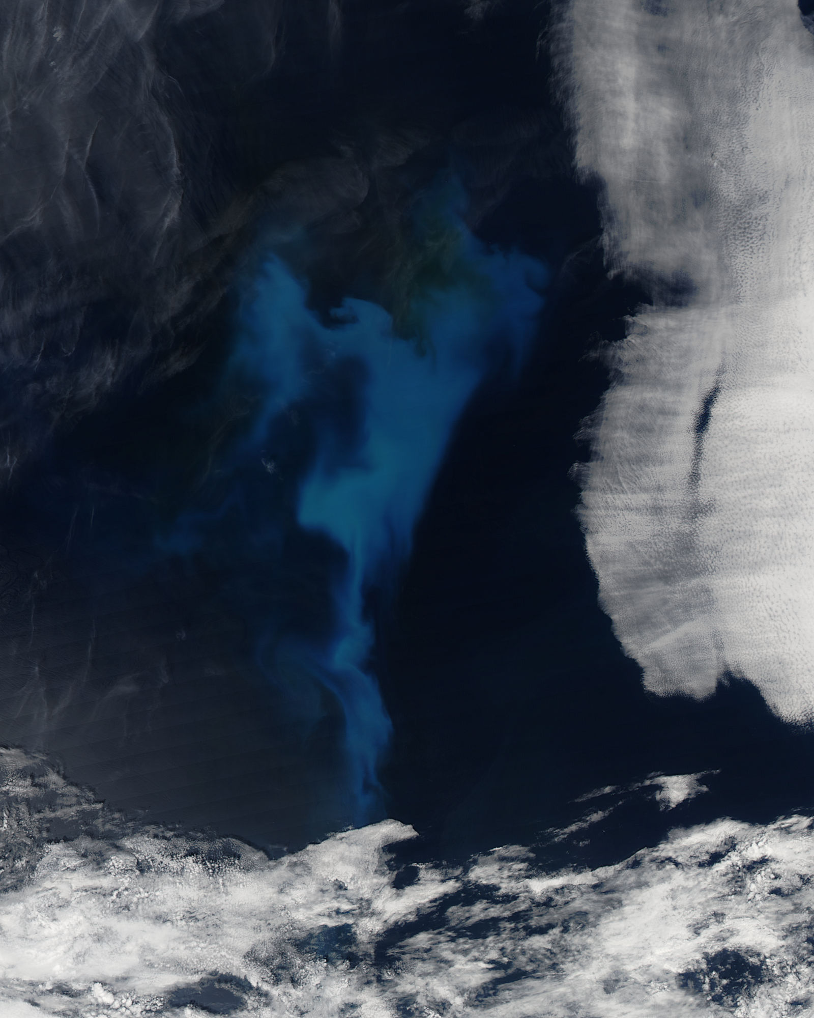
Two Copernicus satellites will measure sea ice, sea-surface temperature and salinity over 95% of the globe every day, with sub-daily polar views (ESA).
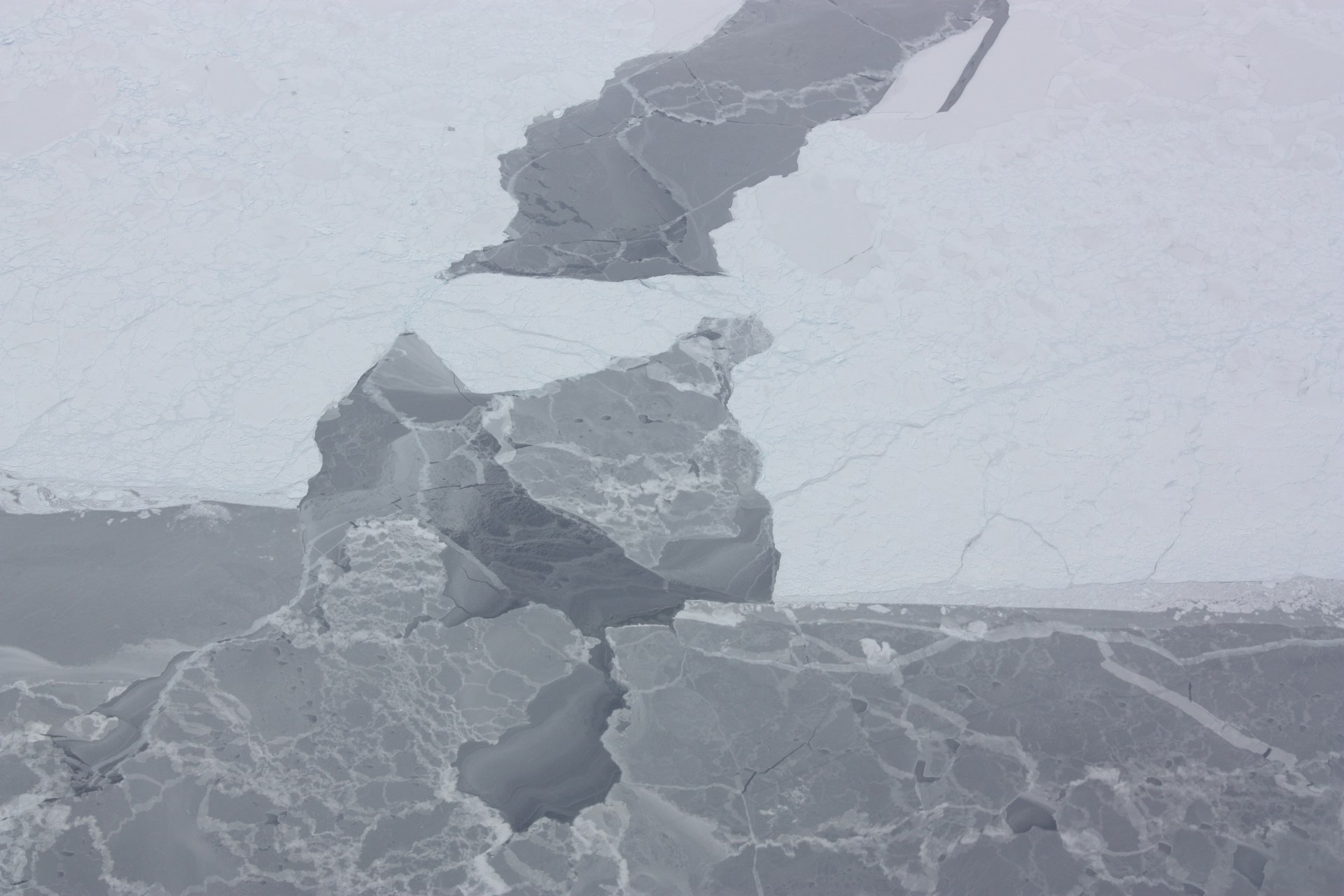
Image: NASA/George Hale
Active Polar
CRISTAL will carry the first dual-frequency radar altimeter to measure polar sea-ice thickness and the snow on top, following ESA's CryoSat (ESA).
Active Earth Observation
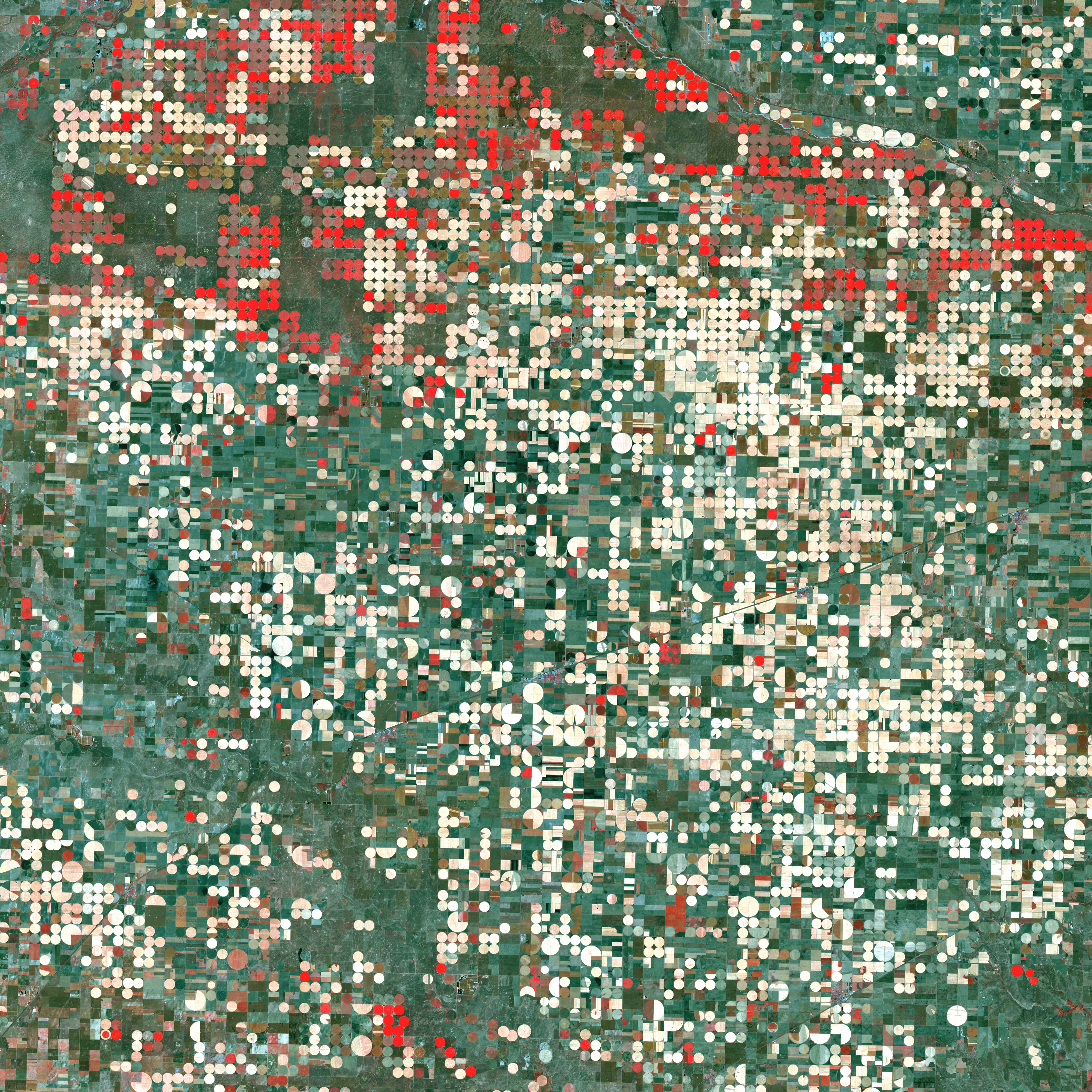
CHIME will image Earth in more than 200 colours of light to support sustainable farming, food security and biodiversity (ESA).
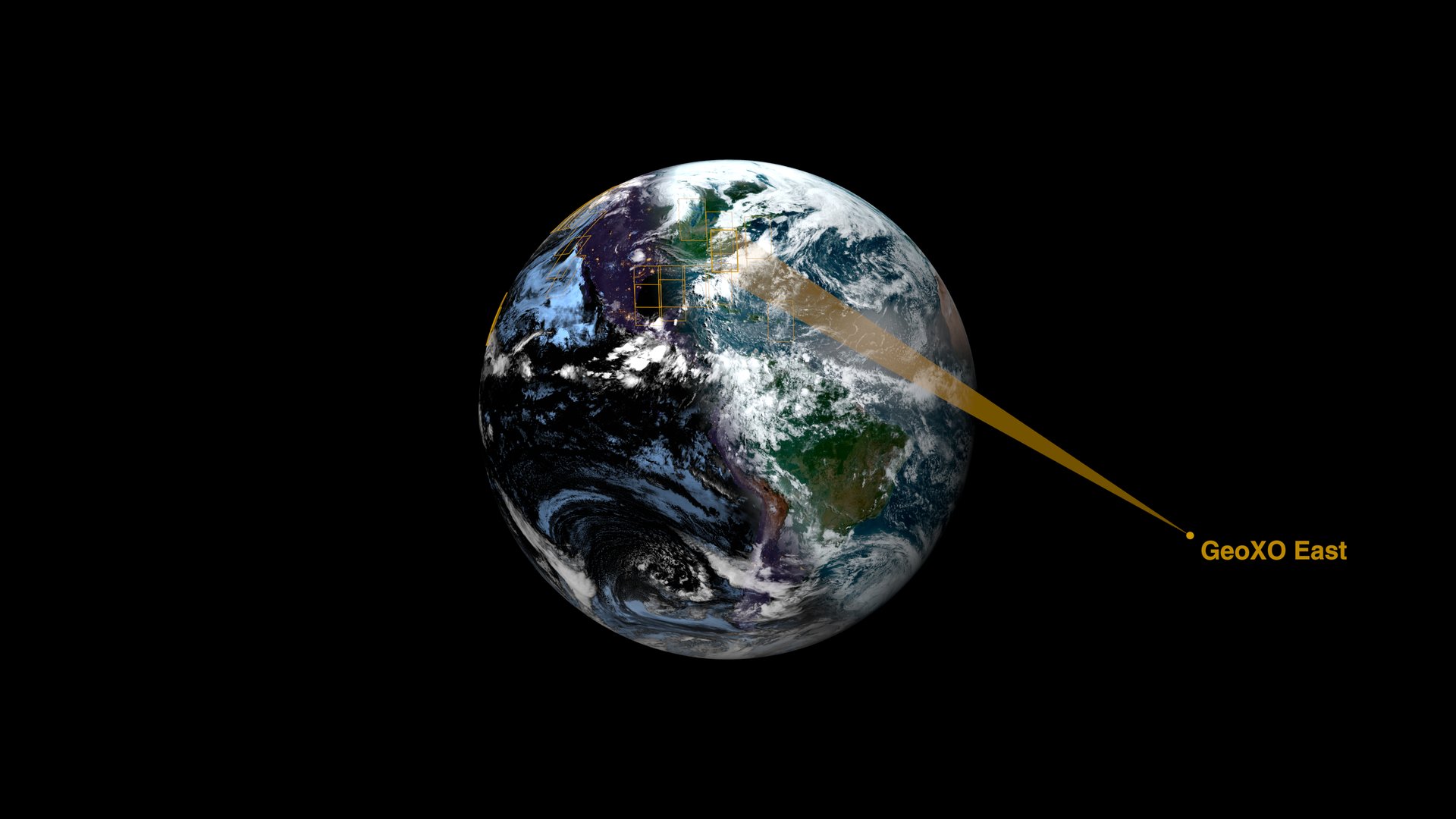
Image: NASA's Scientific Visualization Studio
Active Earth Observation
NOAA's next generation of geostationary weather satellites, planned from 2032, will improve warnings of severe weather and hazards (NOAA).
Active Earth Observation
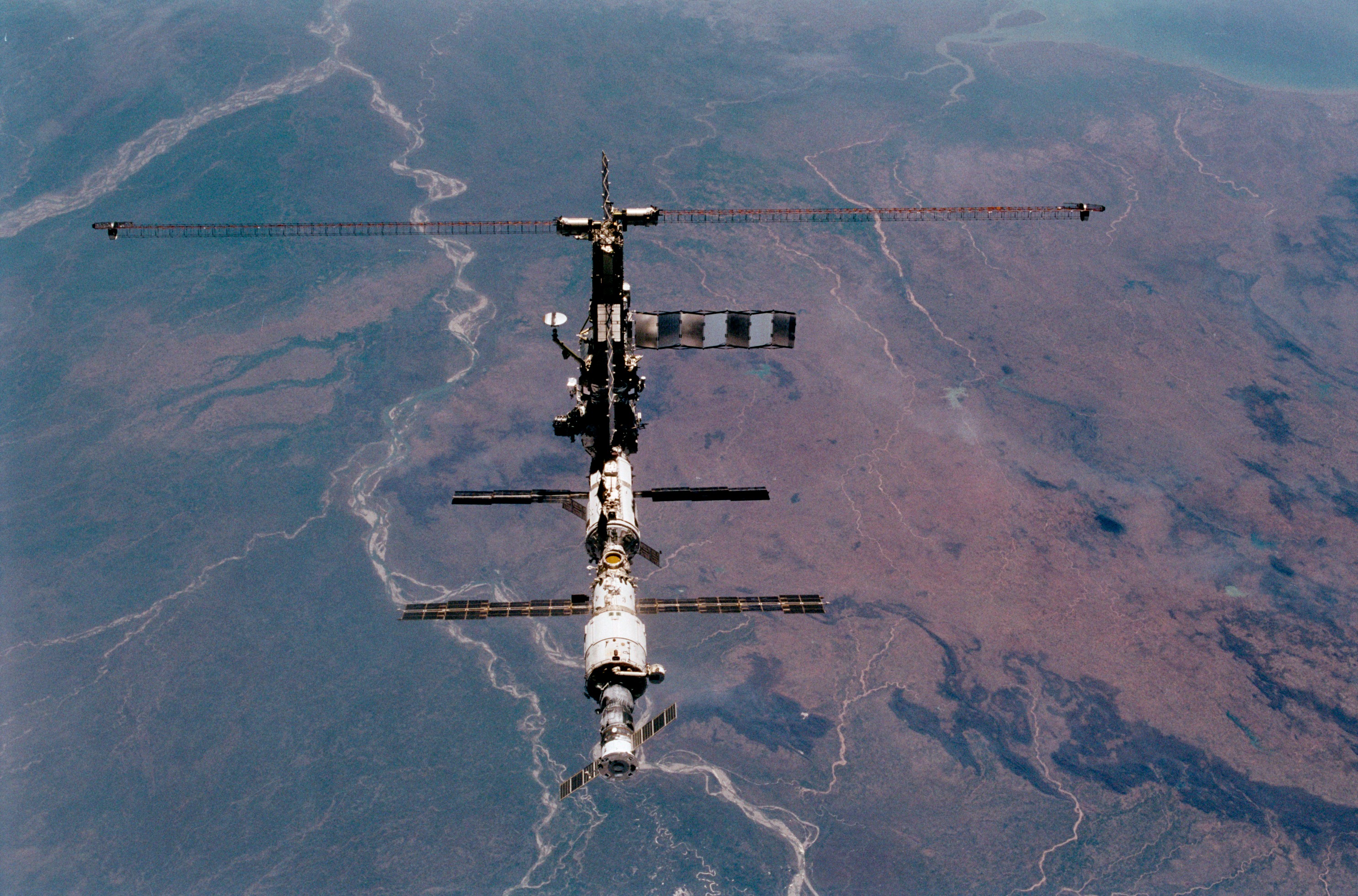
India's INSAT-3DS watches weather, land and oceans from geostationary orbit and carries a search-and-rescue transponder (ISRO).
Active Earth Observation
Europe's Galileo is the world's most precise satellite navigation system, serving over five billion smartphone users and helping rescues (ESA).
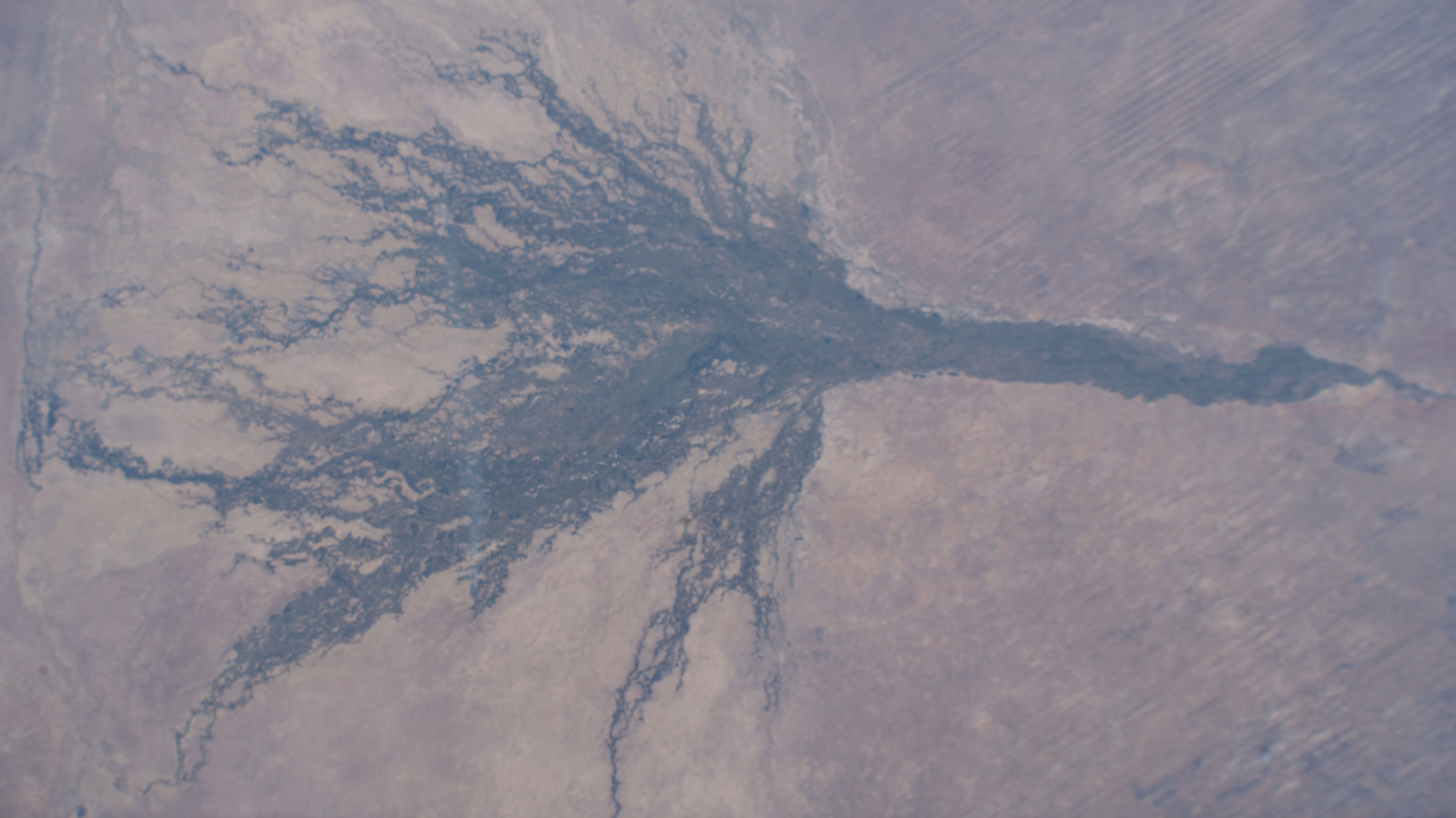
Active Earth Observation
Digital Earth Africa turns satellite data into free and open maps of water, farmland and coasts for the whole African continent (Digital Earth Africa).
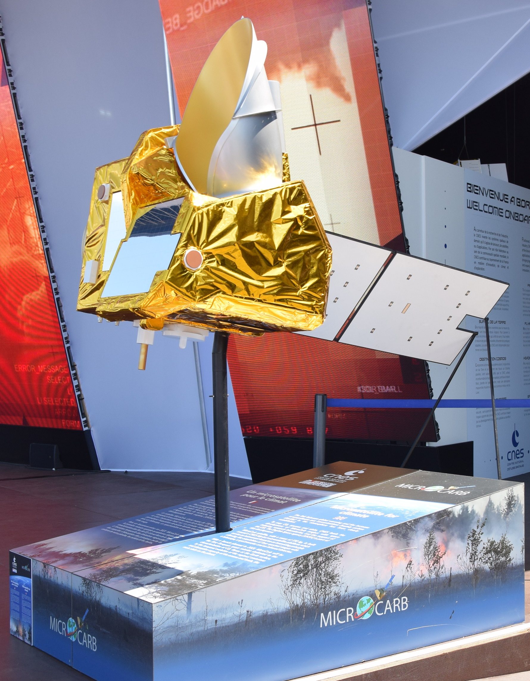
Active Earth Observation
CNES launched MicroCarb on the night of 25–26 July 2025 to measure atmospheric carbon dioxide to about 1 part per million.
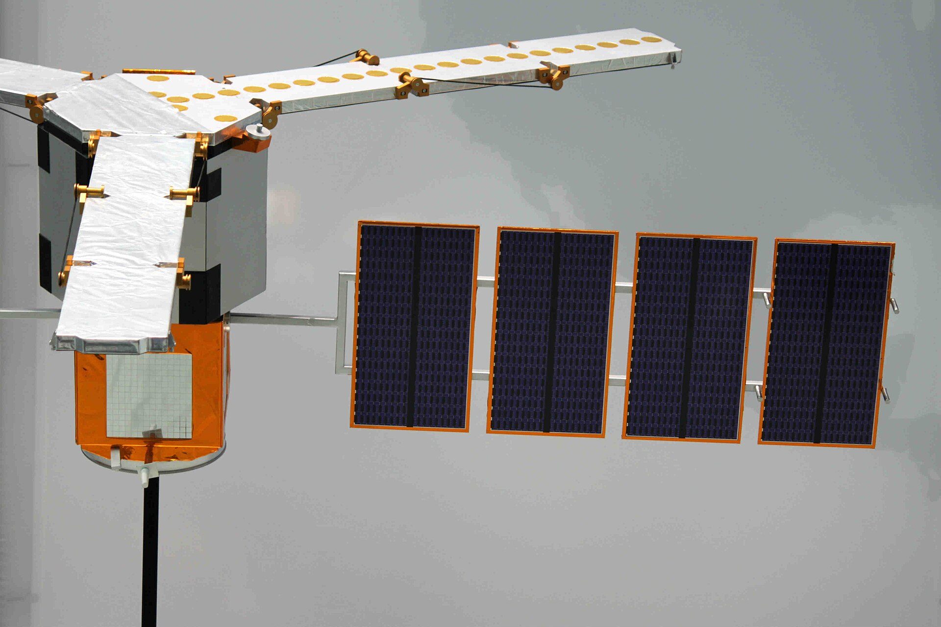
Active✨ New solution Earth Observation
The first satellite to map soil moisture and ocean salinity worldwide, in orbit since 2009 and now helping track long-term droughts.
Five questions from this hub. Pick an answer to see if you got it, with a link to the source page. Nothing is tracked.
Copied to your clipboard.
I scored {n} out of 5 on the Earth Observation quiz at Saving Planets.
You scored {n} out of 5.
Showcase, not partnership: How we feature solutions from around the world
Want to go deeper? NASA's EPIC site shows today's images of the whole Earth.
For further informationEarth Observation solutions: NASA-ISRO NISAR, ESA Biomass, Tanager-1 methane detection and DSCOVR EPIC, measuring land, forests, leaks and ozone.
Source: Earth Observation · On this site
JAXA's DAICHI-4 radar sees through clouds over a 200 km swath, continuing the radar record used for deforestation alerts.
Source: JAXA, ALOS-4 project page · On this site
ESA's Biomass satellite, launched April 29, 2025, carries the first P-band radar in space, seeing through forest canopies to measure the carbon stored in trees.
Source: ESA, Biomass launched · On this site
Europe's air monitoring service forecasts air pollution, smoke and dust worldwide twice a day for more than 23,500 users, free and open.
Source: Copernicus Atmosphere Monitoring Service, About us · On this site
CHIME will image Earth in more than 200 colours of light to support sustainable farming, food security and biodiversity (ESA).
Source: ESA Sentinel Users Preparation, CHIME · On this site
A planned trio of satellites that will measure the carbon dioxide and methane people release, so countries can check whether their emission cuts are…
Source: ESA, Europe’s carbon dioxide monitoring mission elevated to the power of three · On this site
ESA, JAXA and some other agencies do not publish a public volunteer sign-up. A button says Careers or Contact when that is the real page. These official projects are actions you can take: