ESA, JAXA and some other agencies do not publish a public volunteer sign-up. A button says Careers or Contact when that is the real page. These official projects are actions you can take:
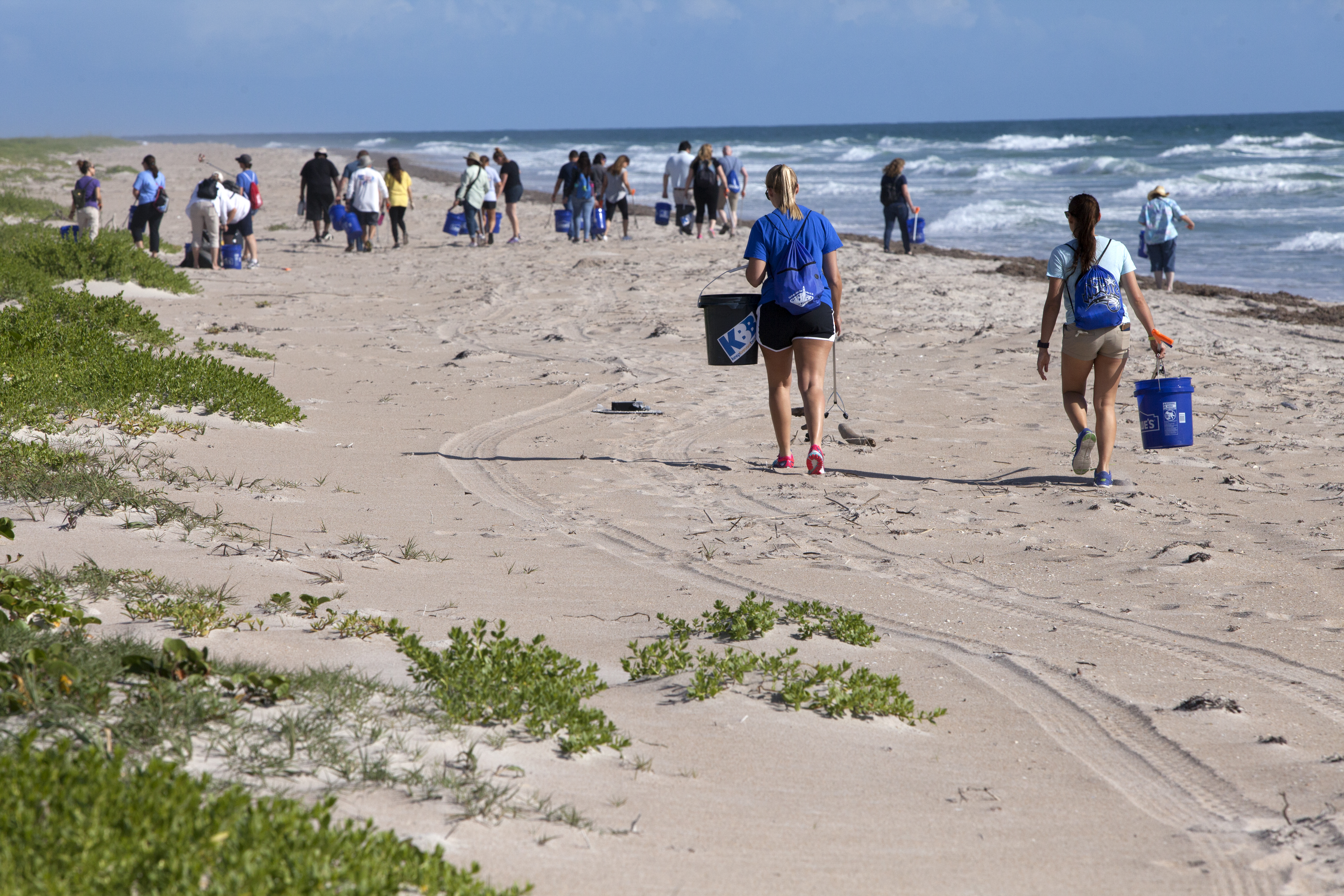
GLOBE Observer
A citizen science app allowing volunteers in GLOBE countries to take observations and contribute to the Global Learning and Observations to Benefit the Environment (GLOBE) community.
Open the official page – GLOBE ObserverGlobe at Night
Globe at Night is an international citizen-science campaign to raise public awareness of the impact of light pollution by inviting citizen-scientists to measure and submit their night sky brightness observations.
Open the official page – Globe at NightNASA citizen science
Through these projects, sometimes called citizen science or participatory science projects, volunteers and amateurs have helped make thousands of important scientific discoveries.
Open the official page – NASA citizen scienceJAXA
JAXA's DAICHI-4 radar sees through clouds over a 200 km swath, continuing the radar record used for deforestation alerts.
ALOS-4 "DAICHI-4" (JAXA)Careers – JAXAContactESA
ESA's Biomass satellite, launched April 29, 2025, carries the first P-band radar in space, seeing through forest canopies to measure the carbon stored in trees.
Biomass (ESA)Careers – ESAContactESA
CHIME will image Earth in more than 200 colours of light to support sustainable farming, food security and biodiversity (ESA).
CHIME Hyperspectral Imaging Mission (ESA)Careers – ESAContactECMWF (Copernicus)
Europe's air monitoring service forecasts air pollution, smoke and dust worldwide twice a day for more than 23,500 users, free and open.
Copernicus Atmosphere Monitoring Service (CAMS)Careers – ECMWF (Copernicus)ContactESA
A planned trio of satellites that will measure the carbon dioxide and methane people release, so countries can check whether their emission cuts are…
Copernicus CO2M Carbon Dioxide Monitoring (ESA / EU)Careers – ESAContactEuropean Commission JRC (Copernicus)
The European Union's emergency mapping service turns satellite images into maps for disaster teams, 24/7 since 2012, with more than 1,000 activations.
Copernicus Emergency Management Service: On-Demand MappingContact – European Commission JRC (Copernicus)ESA
Sentinel-1 radar sees through clouds, day and night, to map floods, earthquakes and ice; Sentinel-1C and 1D joined in 2024 and 2025.
Copernicus Sentinel-1 (ESA)Careers – ESAContactESA
Sentinel-2C joined the Copernicus fleet in September 2024, imaging land and coasts in 13 bands so forests and crops are checked every five days.
Copernicus Sentinel-2C (ESA)Careers – ESAContactESA
The Copernicus Sentinel-3 satellites measure Earth's oceans, land, ice and atmosphere, and a third satellite, Sentinel-3C, launched on September 15, 2026.
Copernicus Sentinel-3 (ESA / EUMETSAT)Careers – ESAContactESA
From geostationary orbit on MTG-S1, Sentinel-4 measures air pollution such as nitrogen dioxide and ozone over Europe and North Africa every hour (ESA).
Copernicus Sentinel-4 (ESA / EUMETSAT)Careers – ESAContactESA
Copernicus Sentinel-5P maps the gases in the air we breathe, covering the whole planet every day with its Tropomi instrument (ESA).
Copernicus Sentinel-5P (ESA)Careers – ESAContactESA
Sentinel-6B, launched November 17, 2025, continues the precise record of global sea level that began in the early 1990s.
Copernicus Sentinel-6B (ESA / NASA)Careers – ESAContactDigital Earth Africa
Digital Earth Africa turns satellite data into free and open maps of water, farmland and coasts for the whole African continent (Digital Earth Africa).
Digital Earth AfricaVolunteer – Digital Earth AfricaContactNASA
NASA's EPIC camera rides on NOAA's DSCOVR spacecraft at the L1 point, photographing the entire sunlit face of Earth several times a day, with an archive...
DSCOVR / EPIC (NASA–NOAA)Volunteer – NASAContactESA
ESA–JAXA EarthCARE carries the first space cloud radar that can measure how cloud particles move up and down, sharpening forecasts of how clouds affect climate.
EarthCARE (ESA–JAXA)Careers – ESAContactNASA
NASA's EMIT instrument on the International Space Station maps the minerals in desert dust and has spotted methane super-emitters from space (NASA JPL).
EMIT (NASA)Volunteer – NASAContactISRO
India's EOS-06, the third Oceansat, tracks ocean color, sea-surface temperature and winds; it imaged Cyclone Mandous and an algal bloom on day one.
EOS-06 / Oceansat-3 (ISRO)Careers – ISROContactEarth Fire Alliance
Earth Fire Alliance's FireSat satellites are built to spot wildfires as small as 5 by 5 meters from space and get the data to firefighters fast.
FireSat (Earth Fire Alliance)Careers – Earth Fire Alliance💚 DonateNASA
NASA's FIRMS delivers satellite fire detections within 3 hours anywhere on Earth, and in real time for the US and Canada.
FIRMS Fire Information for Resource Management System (NASA)Volunteer – NASAContactESA
Launched together on September 15, 2026, ESA's FLEX maps the faint glow of photosynthesis while Sentinel-3C watches oceans and land.
FLEX and Sentinel-3C (ESA)Careers – ESAContactESA
ESA's FORUM will measure Earth's outgoing far-infrared radiation, never measured from space before, filling a missing piece of the climate jigsaw (ESA).
FORUM Far-Infrared Mission (ESA)Careers – ESAContactESA
Europe's Galileo is the world's most precise satellite navigation system, serving over five billion smartphone users and helping rescues (ESA).
Galileo Satellite Navigation (EU / ESA)Careers – ESAContactJAXA
Japan's SHIKISAI satellite checks the health of Earth from space every 2 or 3 days, tracking clouds, aerosols, ocean color, plants, snow and ice (JAXA).
GCOM-C "SHIKISAI" (JAXA)Careers – JAXAContactNOAA
NOAA's next generation of geostationary weather satellites, planned from 2032, will improve warnings of severe weather and hazards (NOAA).
GeoXO Geostationary Extended Observations (NOAA / NASA)Volunteer – NOAAContactJAXA
JAXA's IBUKI GW tracks carbon dioxide, methane and nitrogen dioxide while also measuring the water cycle.
GOSAT-GW "IBUKI GW" (JAXA)Careers – JAXAContactNASA / Germany (GFZ)
Twin US-German satellites weigh Earth's water by measuring gravity, tracking groundwater, ice and sea level since 2018.
GRACE-FO (NASA / Germany)Volunteer – NASA / Germany (GFZ)ContactJAXA
JAXA's Global Satellite Mapping of Precipitation maps rain around the world every hour, used by 18,673 registered users in 163 countries and regions.
GSMaP Global Rainfall Map (JAXA)Careers – JAXAContactESA
ESA's first Scout mission uses reflected navigation-satellite signals to measure soil moisture, wetlands and frozen ground (ESA).
HydroGNSS (ESA)Careers – ESAContactISRO
India's INSAT-3DS watches weather, land and oceans from geostationary orbit and carries a search-and-rescue transponder (ISRO).
INSAT-3DS Weather Satellite (ISRO)Careers – ISROContactInternational Charter: Space and Major Disasters
When disaster strikes, 17 space agencies and satellite operators pool their satellites and give free images to rescue teams.
International Charter: Space and Major DisastersContact – International Charter: Space and Major DisastersNOAA
NOAA's polar weather satellites circle Earth 14 times a day.
Joint Polar Satellite System (NOAA)Volunteer – NOAAContactNASA / USGS
Landsat 9 continues a 50-year record of Earth’s land, collecting 740 scenes a day and, with Landsat 8, seeing each place every 8 days.
Landsat 9 (NASA / USGS)Volunteer – NASA / USGSContactNASA / LASP
Libera will measure how much energy leaves Earth each day, keeping a climate record that began in 2000 going strong (NOAA).
Libera Earth Energy Instrument (NASA)Volunteer – NASA / LASPContactEUMETSAT
Three weather satellites now watch Europe and Africa from 36,000 km up, with new images every 2.5 minutes and a camera that catches lightning day and…
Meteosat Third Generation (ESA / EUMETSAT)Careers – EUMETSATContactUNEP
The UN's satellite methane alert system has sent more than 3,500 alerts about major leaks in 33 countries, and responses rose from 1% to 12% in a year.
Methane Alert and Response System (UNEP)Volunteer – UNEPContactEUMETSAT
Launched August 2025 on Ariane 6, MetOp-SG-A1 carries Sentinel-5, which delivers daily global data on air pollutants, ozone and climate gases.
MetOp-SG-A1 and Sentinel-5A (ESA / EUMETSAT)Careers – EUMETSATContactNASA
NISAR, a NASA and ISRO radar satellite launched from India on July 30, 2025, scans nearly all of Earth's land and ice twice every 12 days, even through clouds.
NISAR (NASA–ISRO)Volunteer – NASAContactNASA
NASA's OCO-2 satellite has measured carbon dioxide around the planet since 2014, showing where carbon is released and where forests and oceans absorb it.
OCO-2 Orbiting Carbon Observatory (NASA)Volunteer – NASAContactNASA
NASA's PACE reads the color of the ocean to track phytoplankton, the base of the marine food web, plus aerosols and clouds.
PACE (NASA)Volunteer – NASAContactCanadian Space Agency
Three Canadian radar satellites watch Canada's land, coasts and Arctic day and night, through cloud and smoke, with about 250,000 images a year.
RADARSAT Constellation Mission (Canada)Careers – Canadian Space AgencyContactNOAA
NOAA's SARSAT satellites relay distress beacon signals to rescuers; the international system has supported more than 50,000 rescues worldwide since 1982.
SARSAT Search and Rescue Satellites (NOAA)Volunteer – NOAAContactNASA
SMAP maps the water in Earth's soil from space, helping improve predictions of weather, floods and droughts (NASA).
SMAP Soil Moisture Active Passive (NASA)Volunteer – NASAContactNASA / CNES
SWOT measures more than 95% of Earth's lakes larger than 15 acres and rivers wider than 330 feet, the first global survey of fresh water.
SWOT (NASA–CNES)Volunteer – NASA / CNESContactCarbon Mapper
Tanager-1, built by Planet with a NASA JPL-designed spectrometer for the nonprofit Carbon Mapper, pinpoints methane and CO2 plumes from single sources.
Tanager-1 (Carbon Mapper / Planet)Volunteer – Carbon Mapper💚 DonateNASA
From geostationary orbit, NASA's TEMPO measures air pollution over North America every daylight hour, a first from space (NASA).
TEMPO Air Quality Mission (NASA)Volunteer – NASAContactThe GLOBE Program
The Global Learning and Observations to Benefit the Environment (GLOBE) Program is an international science program that provides the public worldwide with the opportunity to participate in data collection and the scientific process, and contribute meaningfully to our understanding of the Earth system and global environment.
The GLOBE ProgramVolunteer – The GLOBE ProgramContactNOAA
Deep-ocean buoys, satellites, GPS signals and seafloor cables spot tsunamis in the open ocean so coastal communities get time to reach high ground.
The Science of Tsunami DetectionVolunteer – NOAAContactCNES
CNES launched MicroCarb on the night of 25–26 July 2025 to measure atmospheric carbon dioxide to about 1 part per million.
MicroCarbContact – CNESESA
The first satellite to map soil moisture and ocean salinity worldwide, in orbit since 2009 and now helping track long-term droughts.
SMOS (ESA)Contact – ESA