Copernicus Sentinel-2C (ESA)
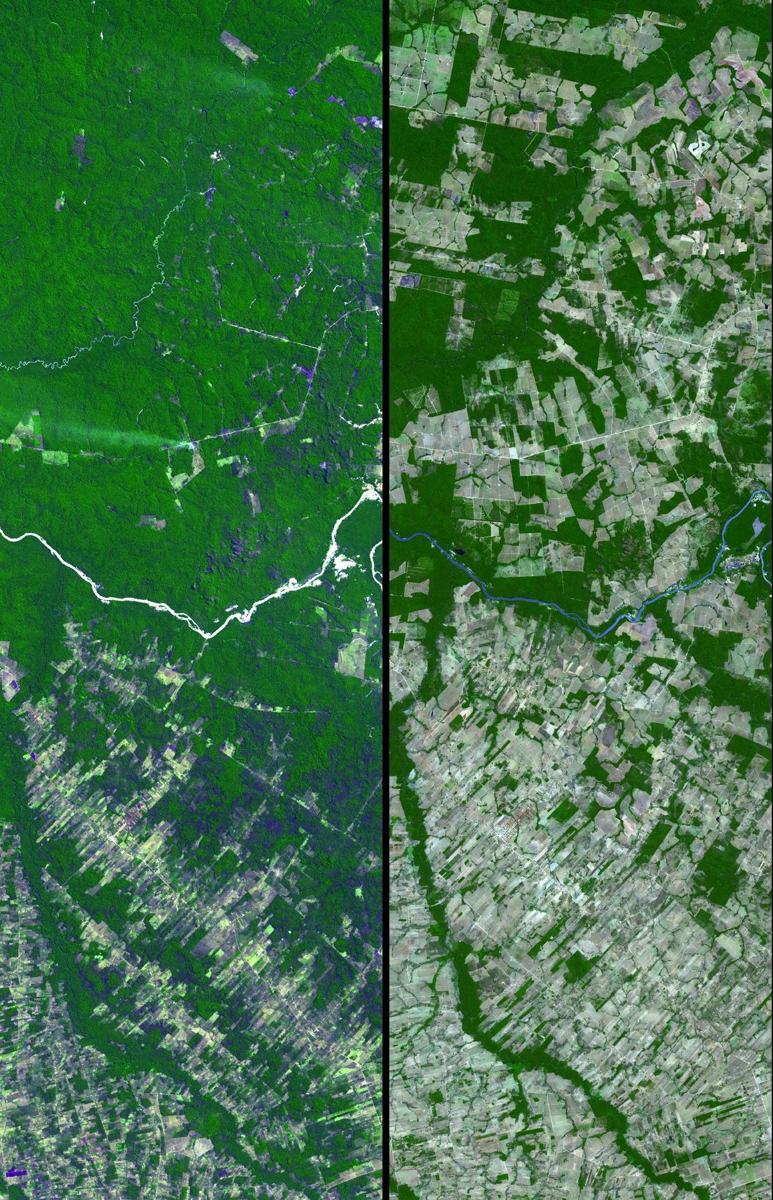
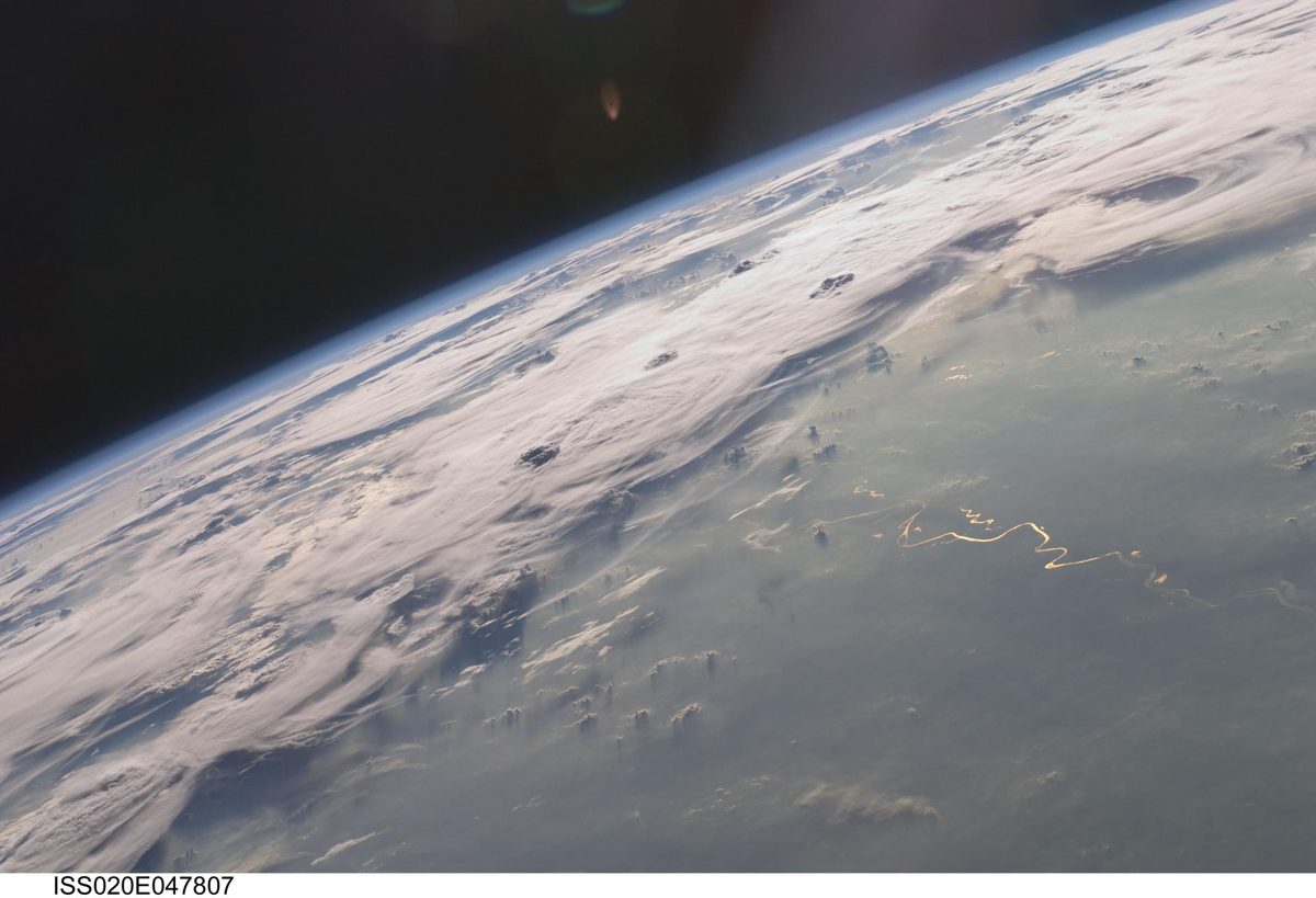
Sentinel-2C joined the Copernicus fleet in September 2024, imaging land and coasts in 13 bands so forests and crops are checked every five days.
Image: NASA.
Last reviewed: 2 sources cited
Explain Like I'm 10
- What is it? A satellite with a multispectral imager covering 13 spectral bands, with a 290 km swath and detail down to 10 m.
- Why does it matter? To monitor agriculture, forests, land-use change, coastal and inland waters, and disasters.
- How does it help people? Farmers use Sentinel-2 data to monitor crop health, predict yields and practice precision farming, and responders use it to map floods, wildfires and eruptions.
The Five W's of Copernicus Sentinel-2C
Who
ESA, for the EU’s Copernicus programme, funded by ESA Member States and the European Union.
What
A satellite with a multispectral imager covering 13 spectral bands, with a 290 km swath and detail down to 10 m.
When
Launched September 5, 2024 on the final Vega rocket from French Guiana.
Source: ESA, Sentinel-2C joins the Copernicus family in orbit
Where
A polar, Sun-synchronous The curved path an object takes as it travels around a planet, moon or star, like a satellite circling Earth. Glossary 786 km up, covering land and coasts between 84°N and 84°S.
Why
To monitor agriculture, forests, land-use change, coastal and inland waters, and disasters.
Impact Statement
Agency solution · active
Sentinel-2 revisits the same spot every five days at the equator with its two-satellite constellation. Its data support crop health monitoring and yield prediction, water quality monitoring, and disaster management for wildfires, volcanic eruptions and floods.
Source: ESA, Sentinel-2 facts and figures
Source: ESA, Sentinel-2C joins the Copernicus family in orbit
How This Saves People & the Planet
For People
Farmers use Sentinel-2 data to monitor crop health, predict yields and practice precision farming, and responders use it to map floods, wildfires and eruptions.
Source: ESA, Sentinel-2C joins the Copernicus family in orbit
For Nature
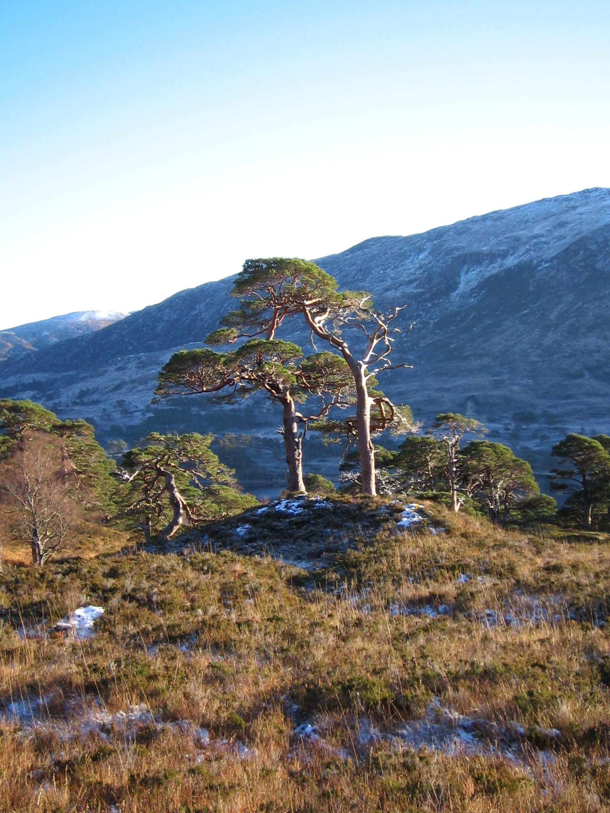
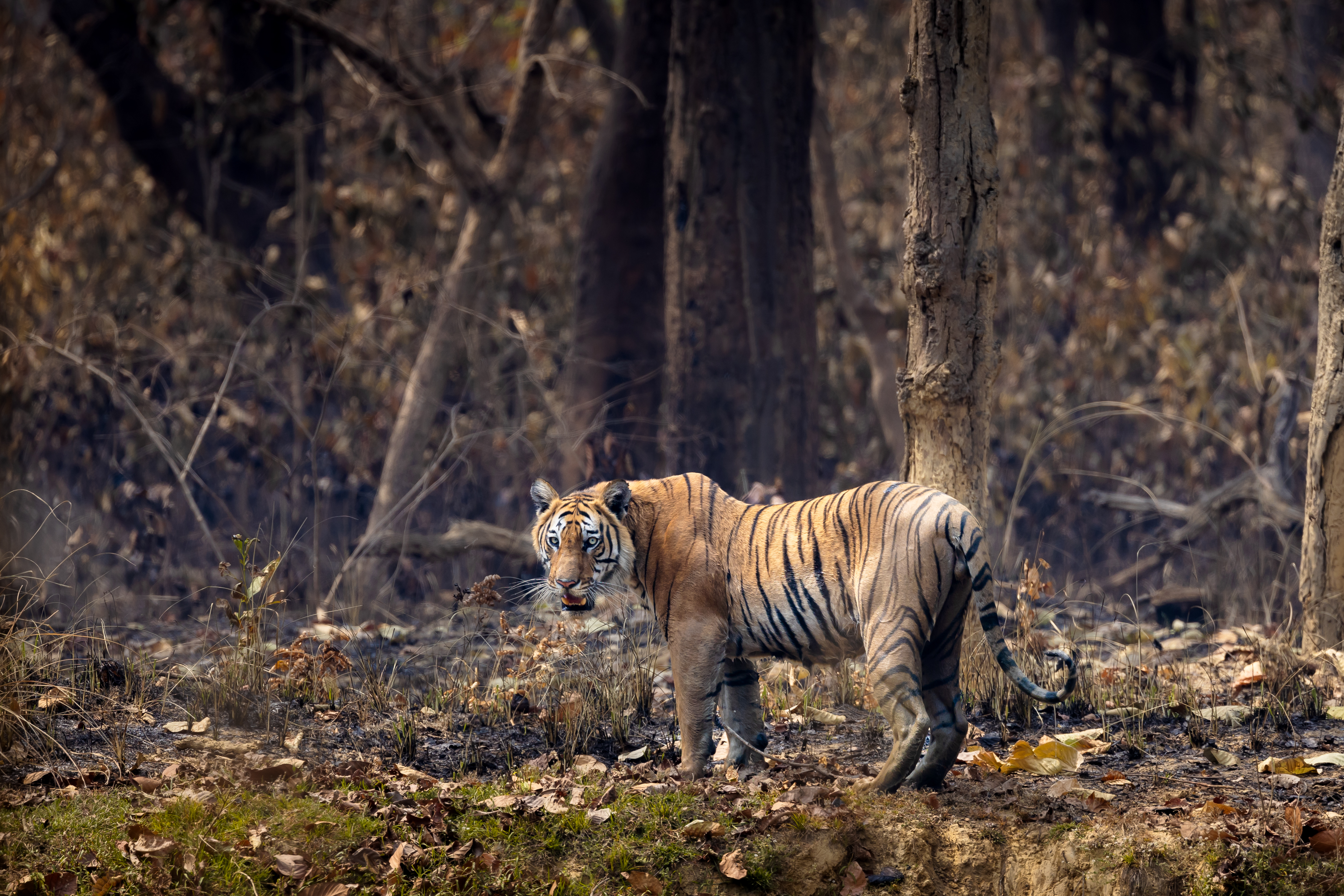
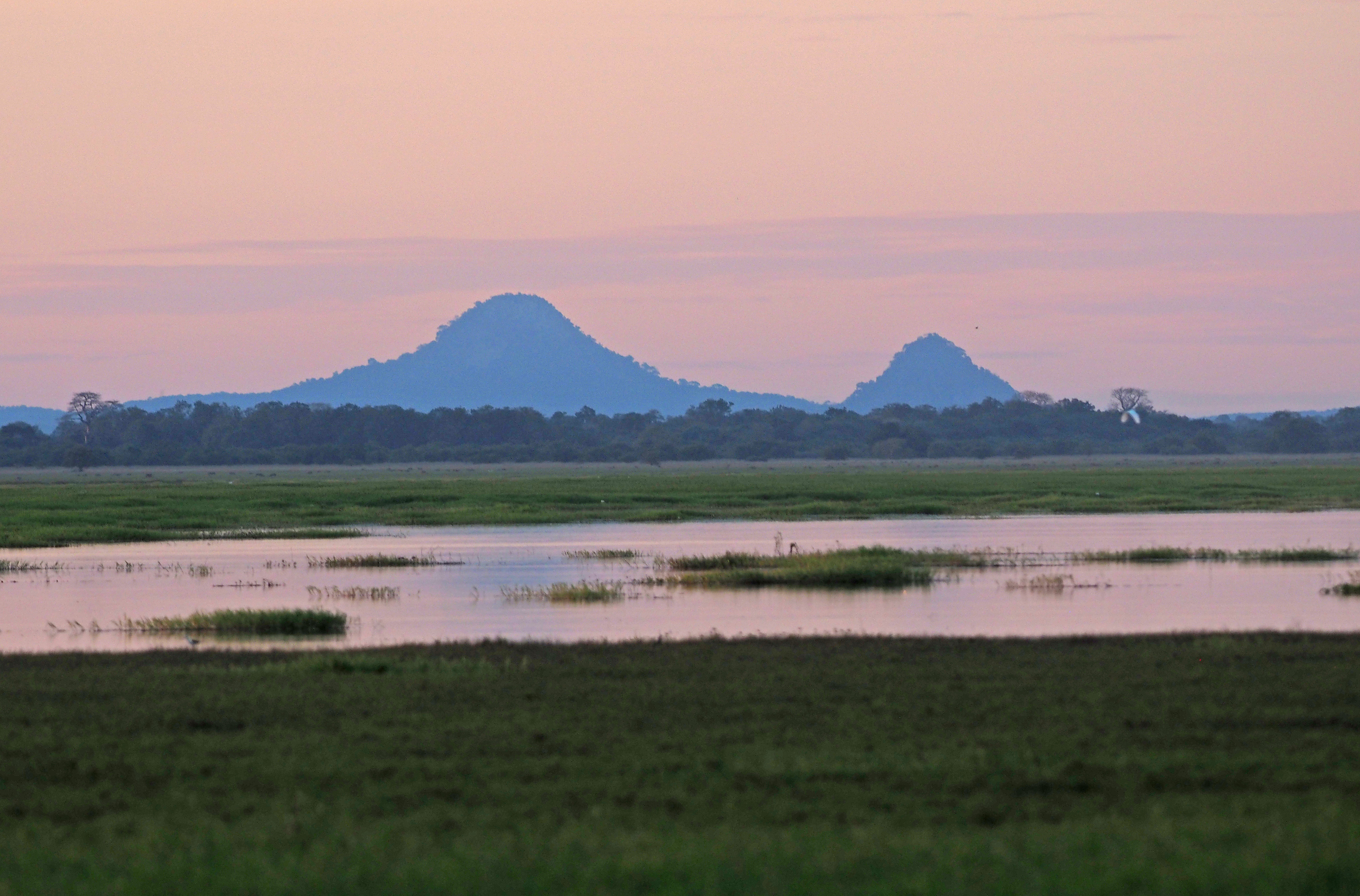
Every five days Sentinel-2 watches forests, land-cover change and coastal and inland waters, giving early warning when A community of living things and the place they live, like a reef or a forest, all depending on each other. Glossary change. See also Forests.
Want to go deeper? ESA's Sentinel-2 facts and figures page has the full mission details.
 For Further Information
Related Solutions
More solutions like this one, matched by meaning.
For Teachers
Discussion questions
- What is Copernicus Sentinel-2C (ESA), and what problem does it help solve?
- Who is behind Copernicus Sentinel-2C (ESA), and where does the work happen?
- How does Copernicus Sentinel-2C (ESA) help both people and nature? Use one fact from this page.
Sources are listed with each fact in the Five W's above.
Standards Alignment
U.S. Next Generation Science Standards (NGSS) and Common Core. Official text, in English.
- 5-ESS3-1 (Grade 3-5) Obtain and combine information about ways individual communities use science ideas to protect the Earth's resources and environment.
- MS-ESS3-2 (Grade 6-8) Analyze and interpret data on natural hazards to forecast future catastrophic events and inform the development of technologies to mitigate their effects.
- MS-ESS3-3 (Grade 6-8) Apply scientific principles to design a method for monitoring and minimizing a human impact on the environment.
- CCSS RST.6-8.1 (Grade 6-8) Cite specific textual evidence to support analysis of science and technical texts.
Cite This Page
APA
Saving Planets. (n.d.). Copernicus Sentinel-2C (ESA). https://www.savingplanets.com/Sentinel-2C.html
MLA
"Copernicus Sentinel-2C (ESA)." Saving Planets, https://www.savingplanets.com/Sentinel-2C.html.